Trail Overview
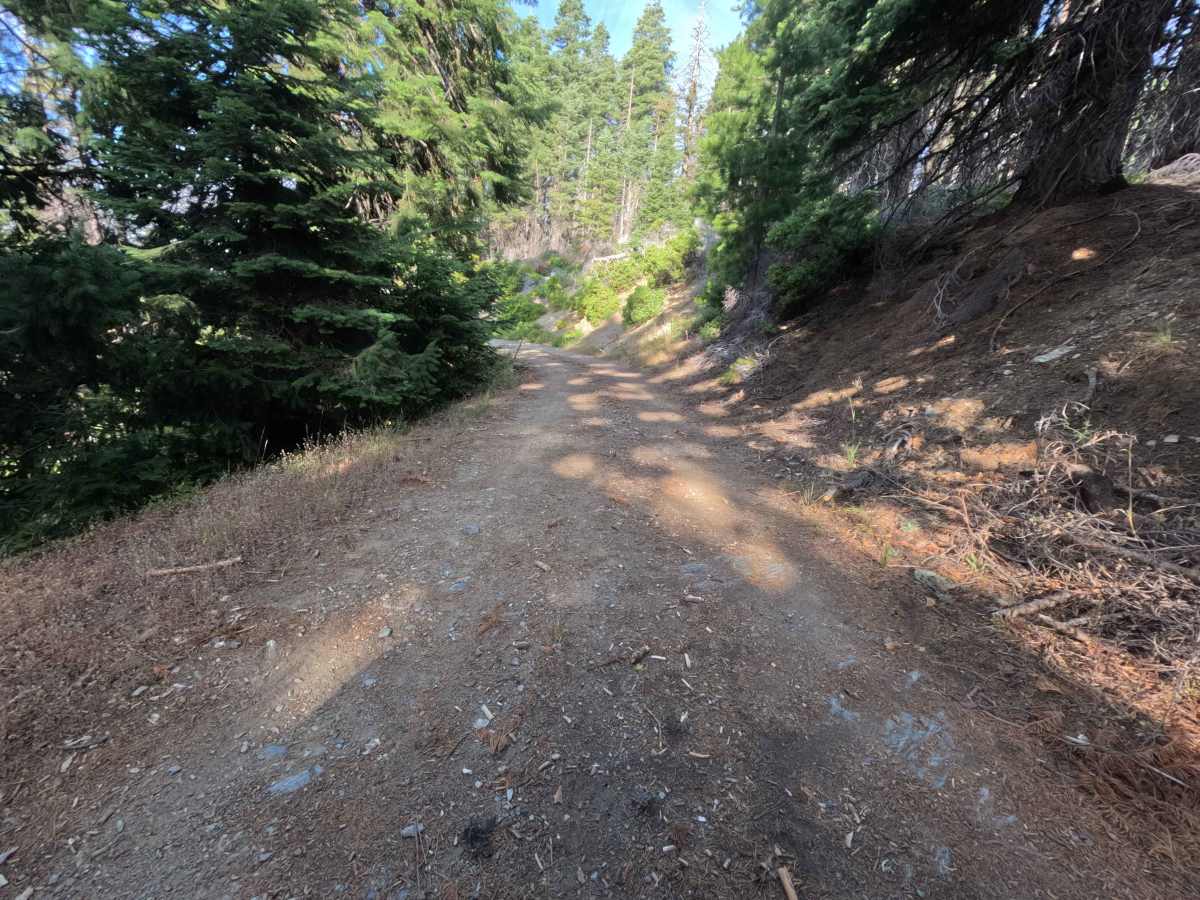
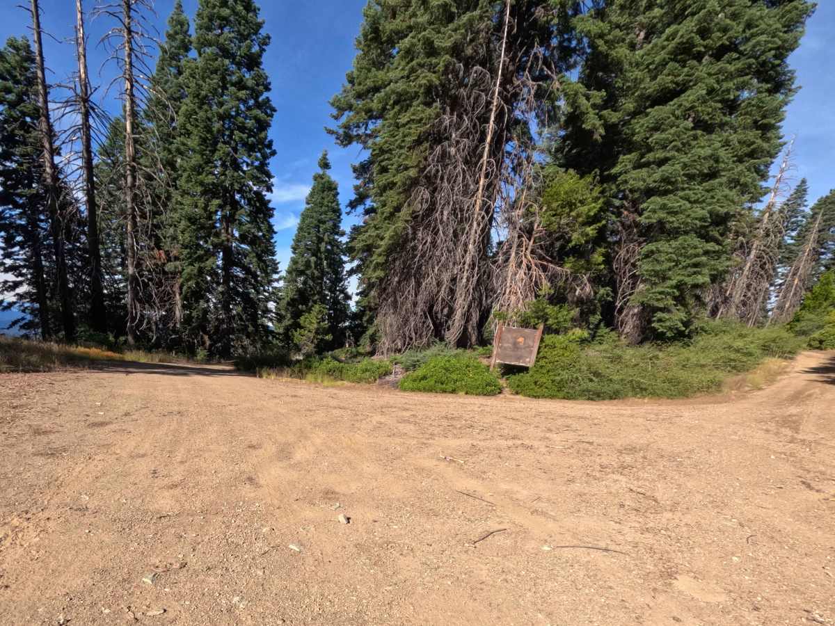
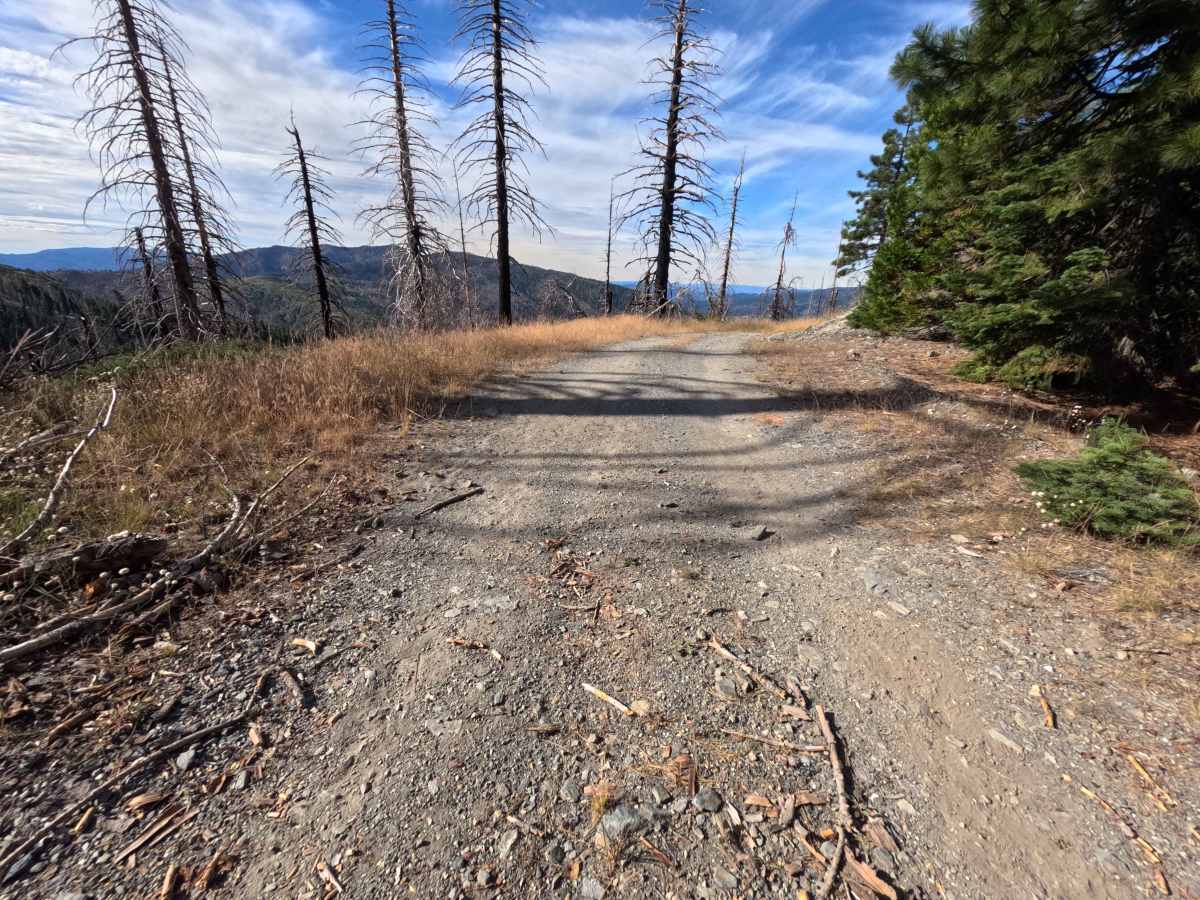
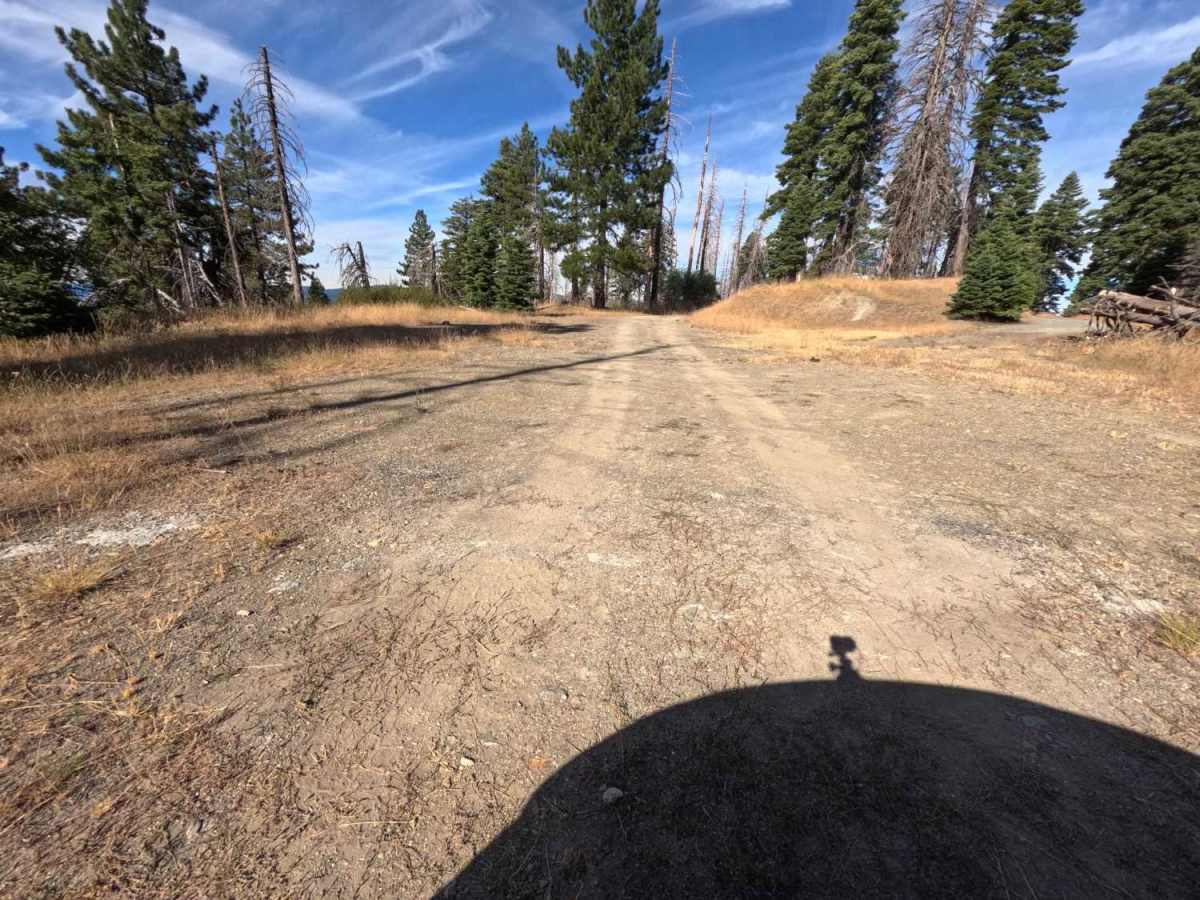
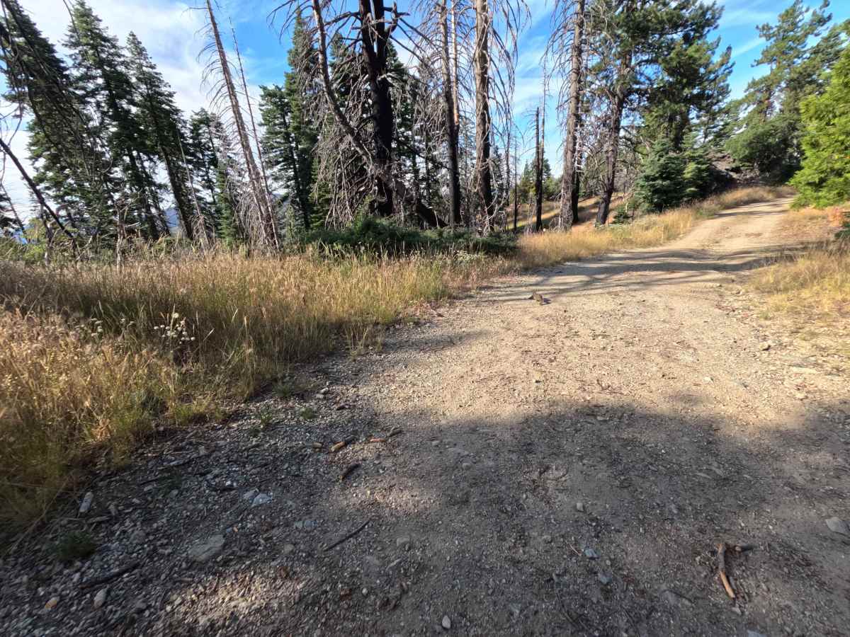
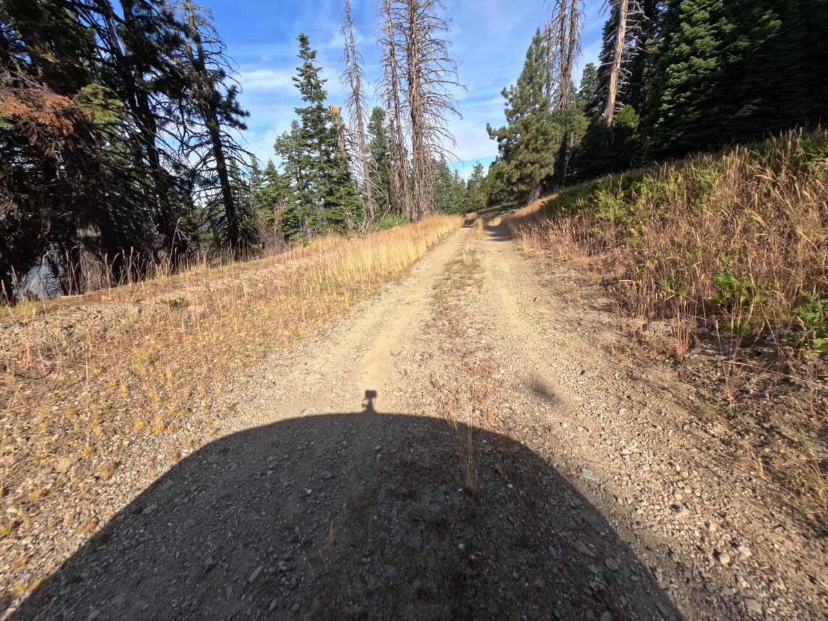
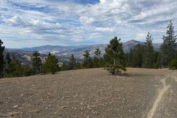
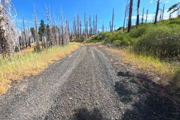
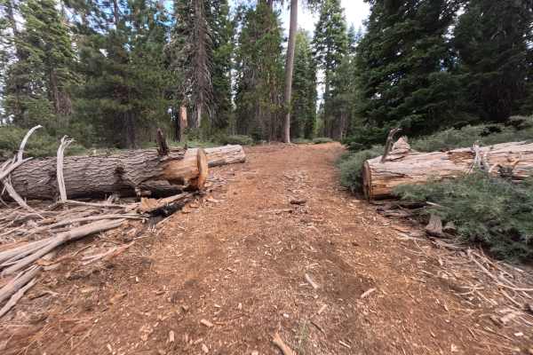
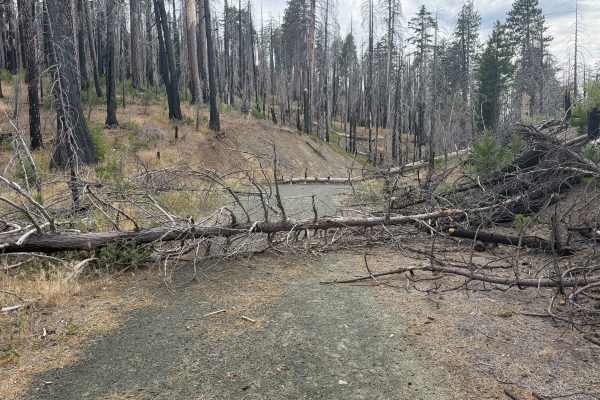
Barley Lake - FS 20N65 turns directly off Forest Highway M1, descending gently westward as an out-and-back spur along the mountain slope. Tucked within Mendocino National Forest, the surrounding landscape showcases an appealing pine forest recovering from the 2020 August Complex Wildfire, interspersed with vibrant green understory and standing timber. The smooth dirt track winds gradually downhill, offering wide-open vista points looking across distant ridgelines and valley floors. Near the 1.2-mile mark, travelers encounter an expansive open staging clearing with scenic valley views that serves as an excellent spot for photography, picnicking, and camping.
Difficulty
Barley Lake - FS 20N65 earns a Difficulty 1 rating, featuring a single-track dirt road surface that remains well-graded, relatively flat, and easy to traverse throughout its entire length. The track sees regular maintenance with fallen branches cleared off the main path, allowing vehicles to cruise comfortably without encountering off-road obstacles or technical challenges.