Trail Overview
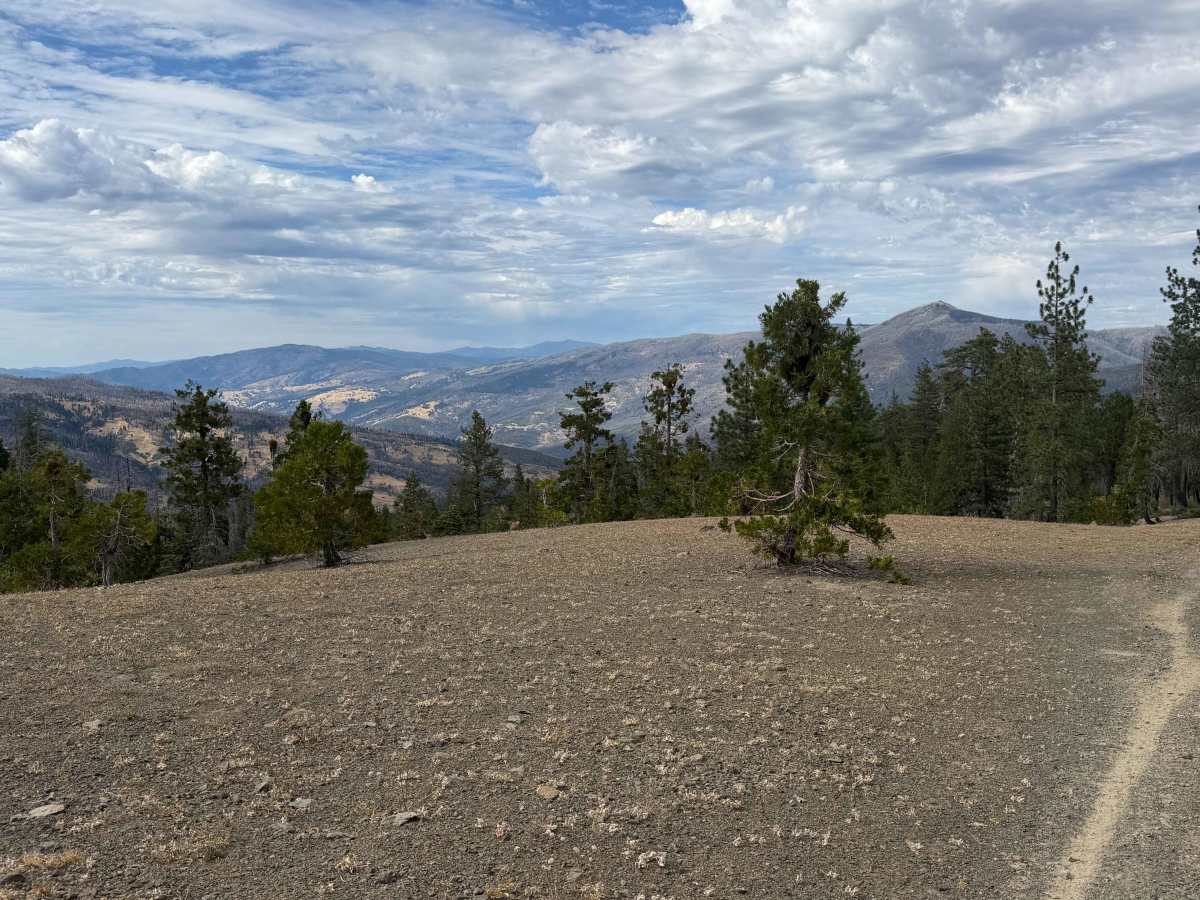
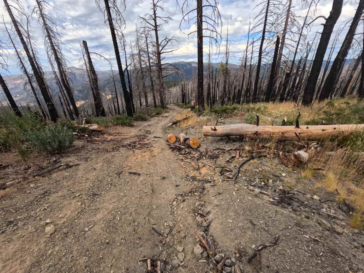
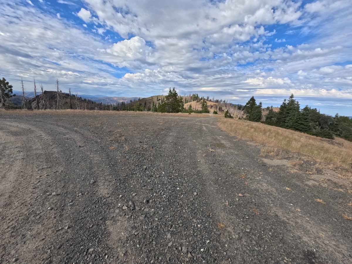
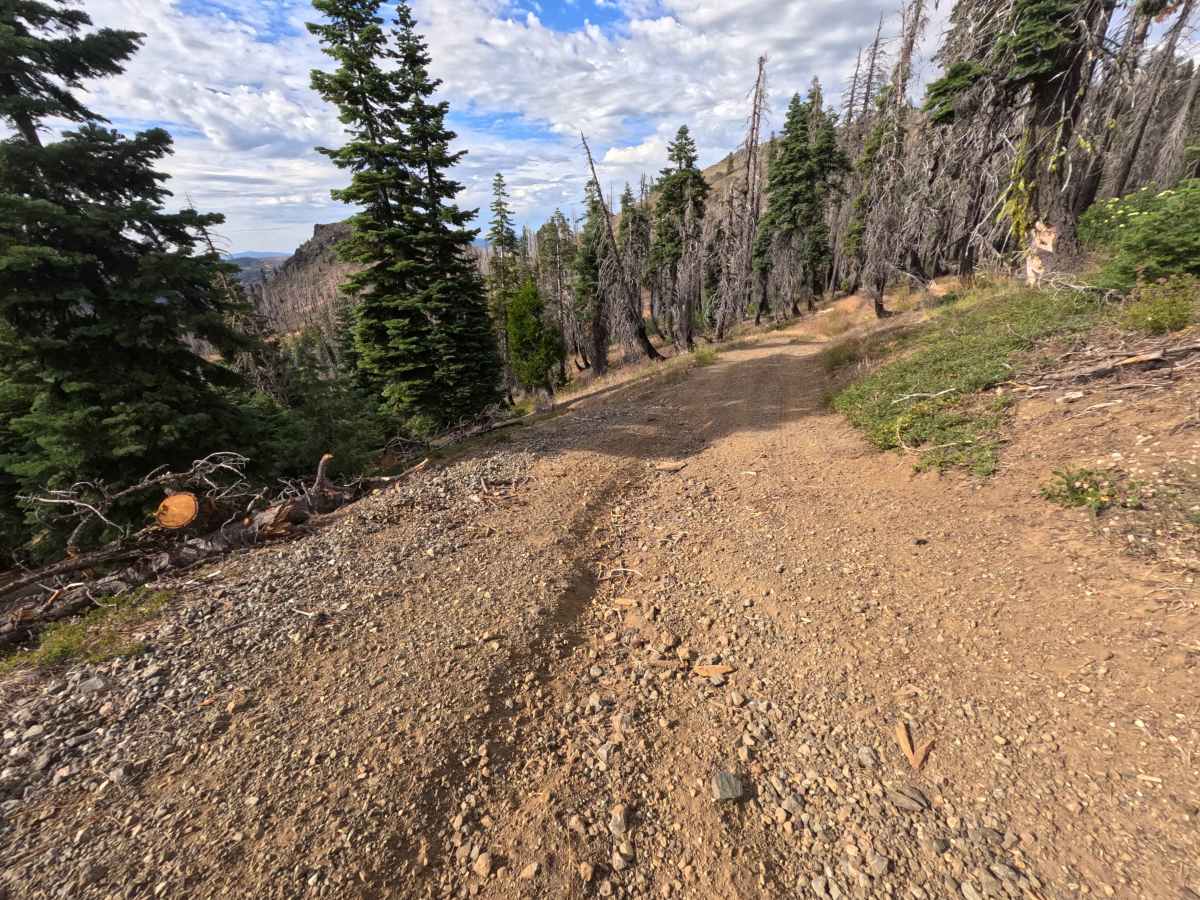
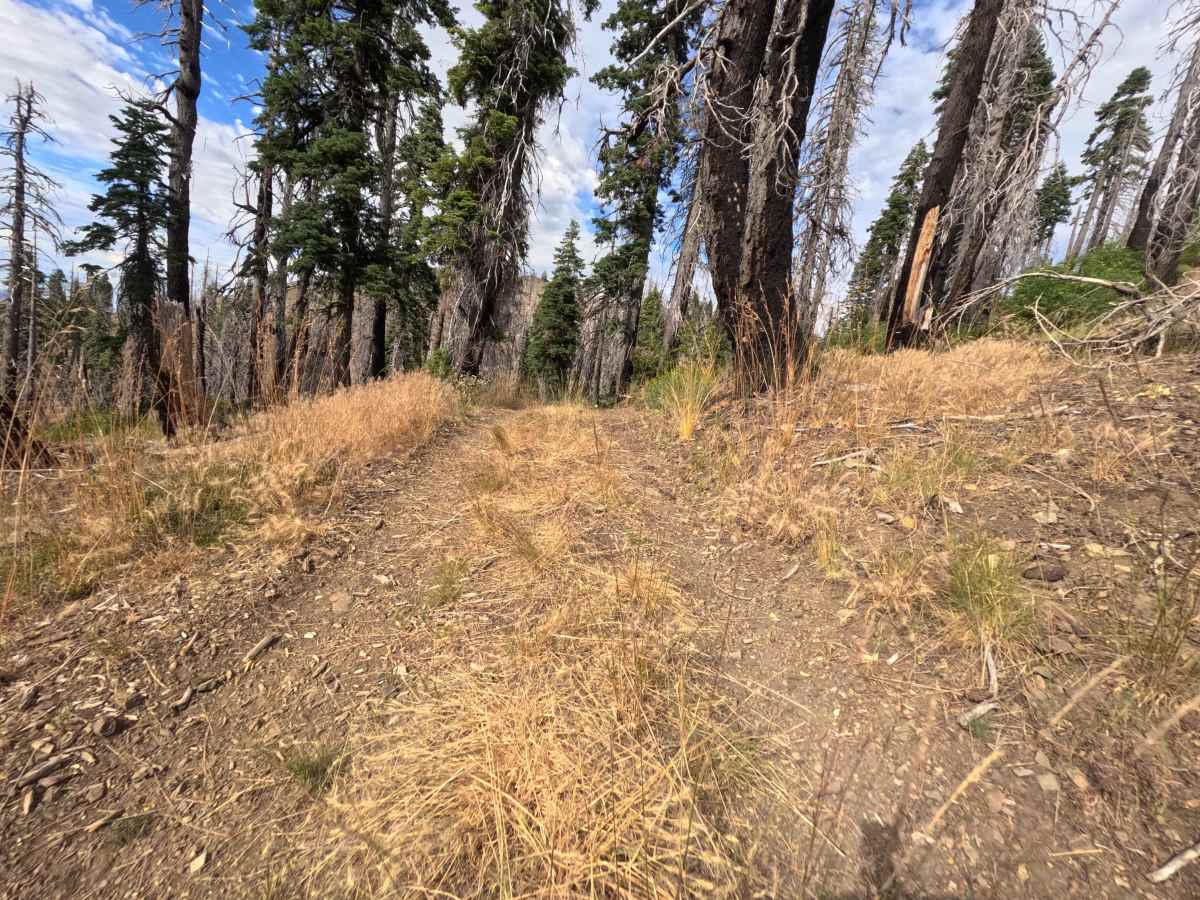
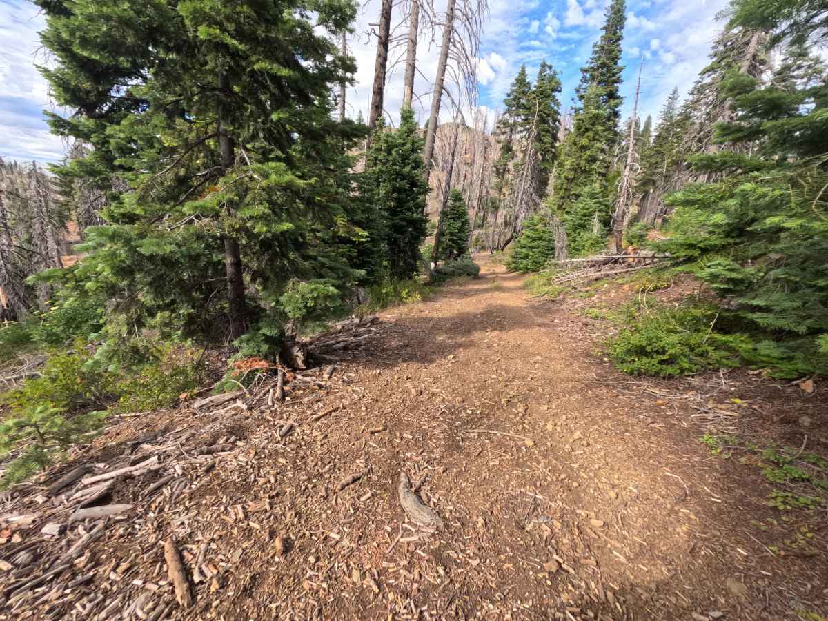
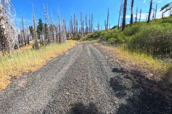
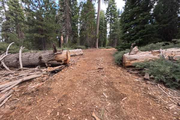
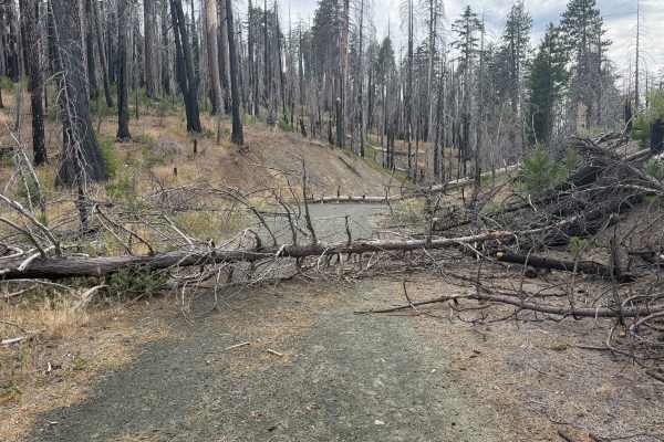
Branching directly off Little Baldy Trail - FS 23N17, Buckhorn Ridge - FS 21N87 is an adventurous, single-lane out-and-back spur tracing a high-elevation mountain ridge. Located within Mendocino National Forest, the surrounding landscape features an open alpine crest and standing timber snags undergoing natural regeneration following the 2020 August Complex Fire. Featuring a rugged dirt, shale, and loose rock surface with narrow corridor clearances, this trail earns a Technical Rating of 3. Early on, the route descends along the spine to an expansive, flat dispersed campsite at 0.5 miles that boasts stunning panoramic views toward Black Butte and Mendocino Pass. Past the camp area, the road grows considerably rougher, traversing unmaintained descents with erosion ruts, scattered woody debris, and tight pinch points formed by chain-sawn log barriers. The tracked route concludes at 1.6 miles near a rugged forest interface. Off-road enthusiasts seek out this ridge trail for scenic primitive camping, panoramic high-country sightseeing, and technical driving practice.
Difficulty
Earning a Technical Rating of 3, this unmaintained mountain descent requires high ground clearance and focused tire placement. The track is characterized by steep downhill pitches, uneven dirt ruts, and loose shale that test traction. Past the 0.5-mile campsite, sawed log ends and fallen timber create extremely tight width bottlenecks along the edge of the slope, leaving very little room for steering error. Drivers must maintain deliberate, low-speed throttle control, choose elevated tire lines over erosion ruts, and exercise caution to protect vehicle sides and undercarriages from protruding logs.

 Offroad