Trail Overview
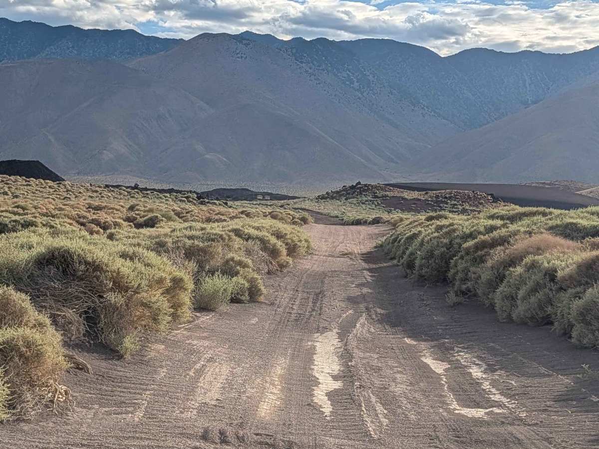
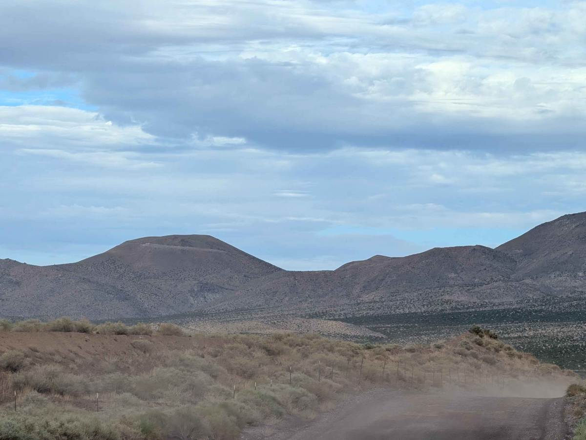
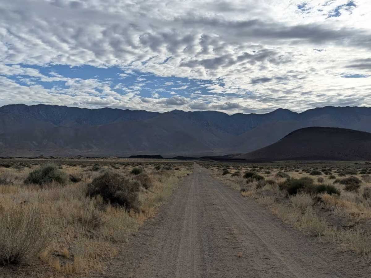
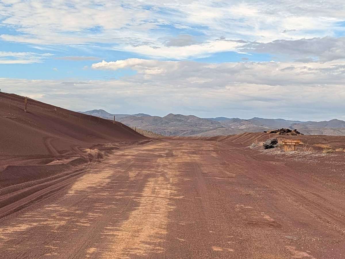
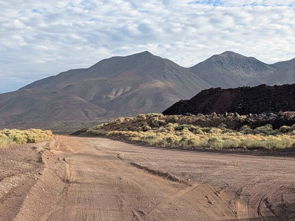
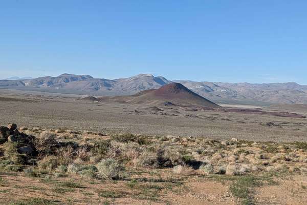
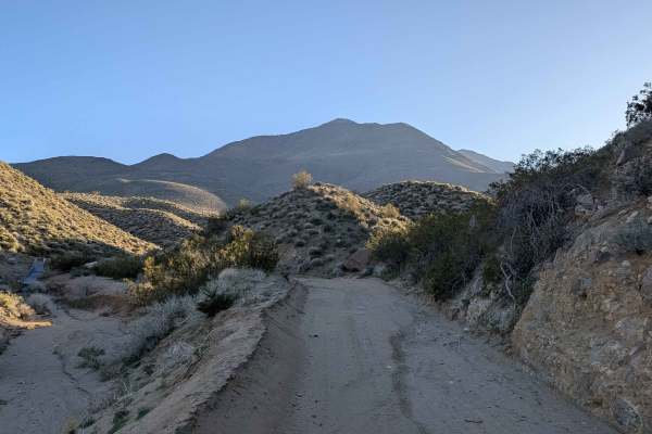
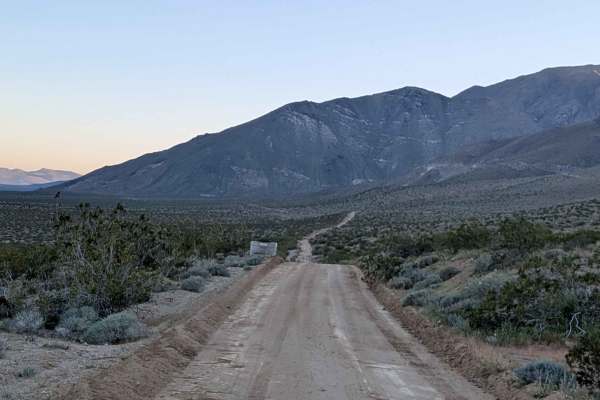
This 4-mile out-and-back trail starts at Highway 395 and travels through a landscape marked by dramatic mountain backdrops in both directions. The Eastern Sierra provides a stunning backdrop when traveling west, while eastbound drivers are rewarded with expansive views of the mountains rising above Death Valley. No matter which direction you travel, the scenery along this route is impressive. The trail surface begins as red dirt before transitioning to dirt and gravel later in the route. It starts wide, but narrows as it heads east, requiring more careful navigation in the later sections. Lots of washboards appear throughout the route, requiring speed management or airing down for a comfortable ride. The trail is surrounded by lots of small bushes, including salt and cheese bushes, typical of the high desert environment near Highway 395. Volcanic rock formations along Highway 395 add a unique geological element to the drive. The trail ends at a locked gate at the border of a Department of Defense area, which is strictly off-limits, providing a clear and firm endpoint for this out-and-back route.
Difficulty
This trail has an easy difficulty rating of 2 based on the washboards throughout, the transition from red dirt to dirt and gravel, and the narrowing trail width heading east.