Trail Overview
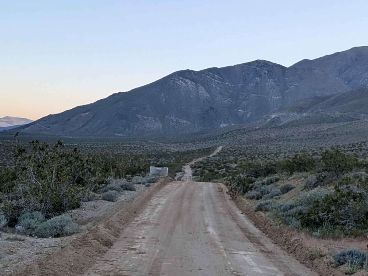
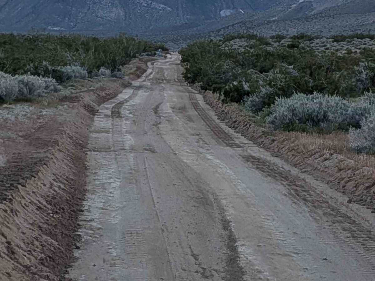
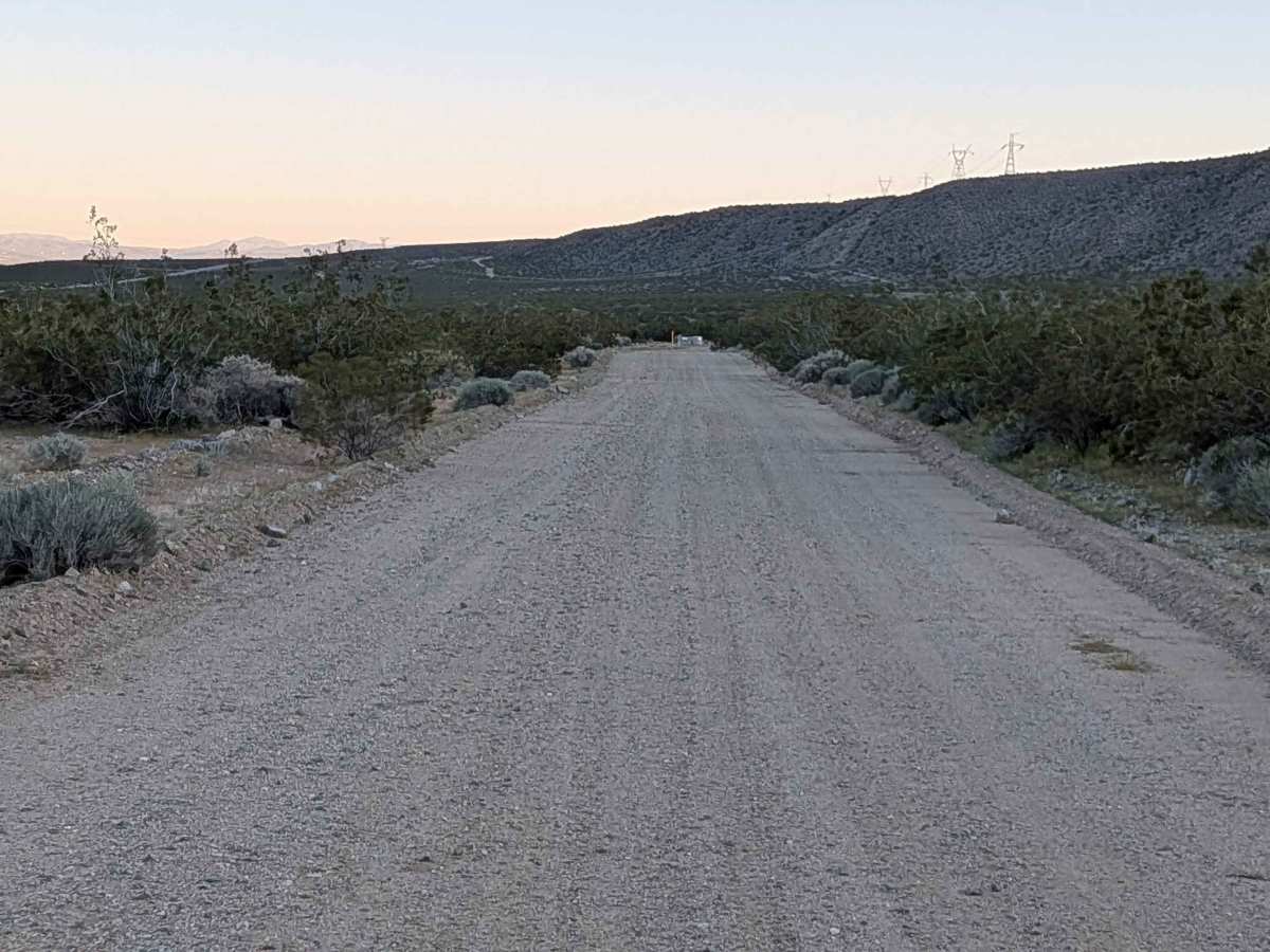
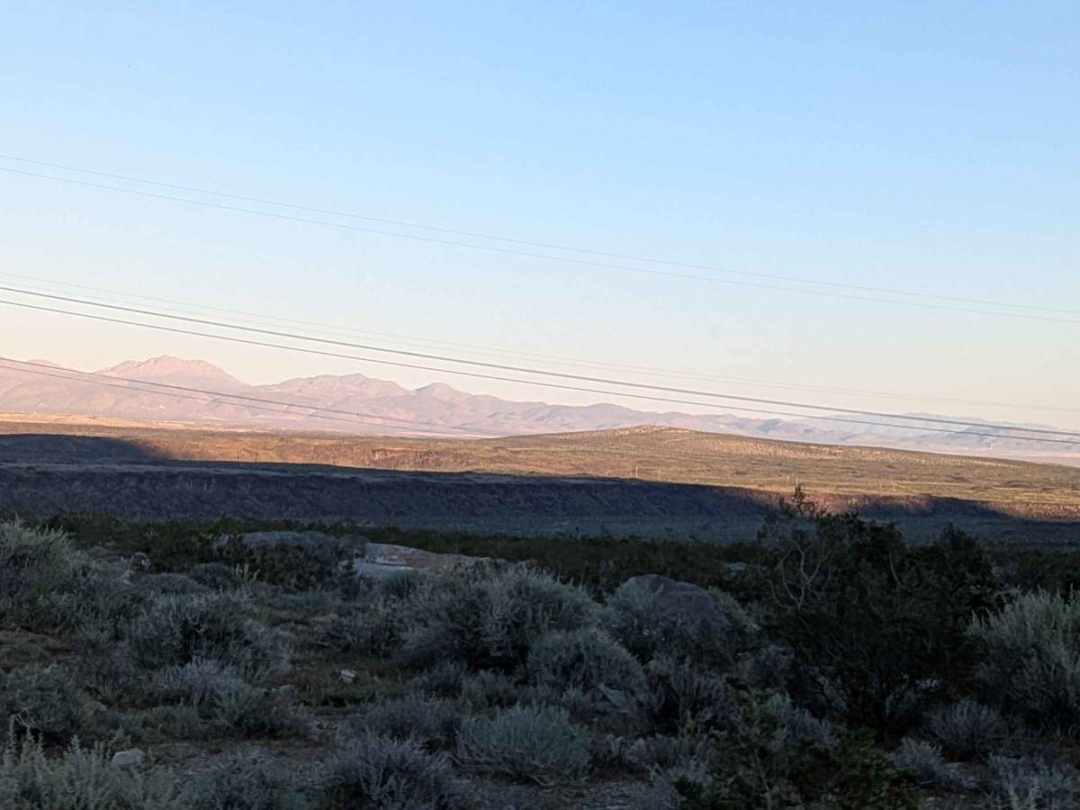
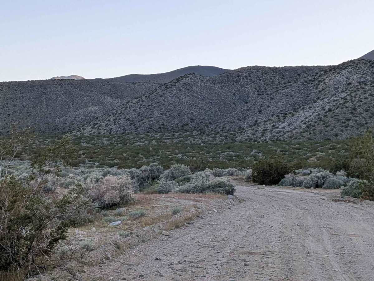
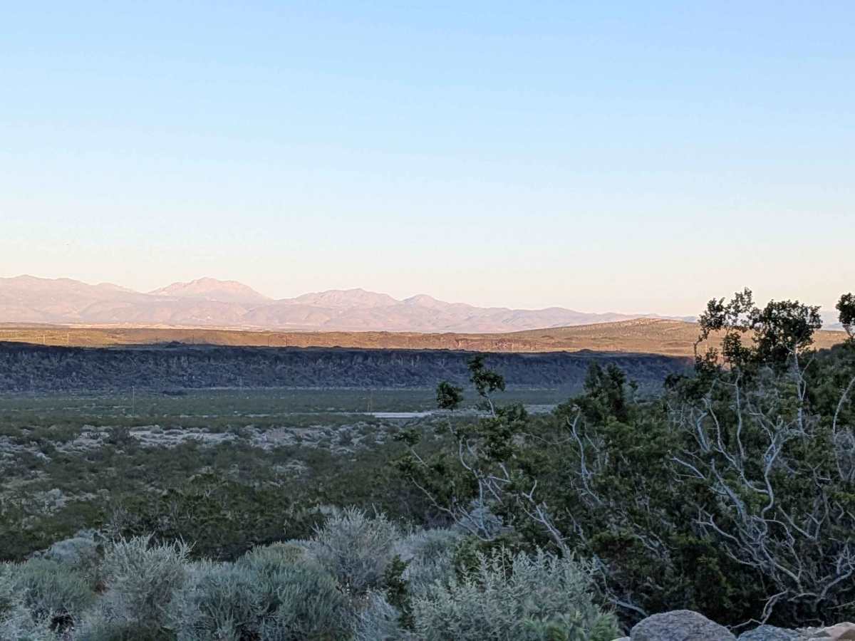
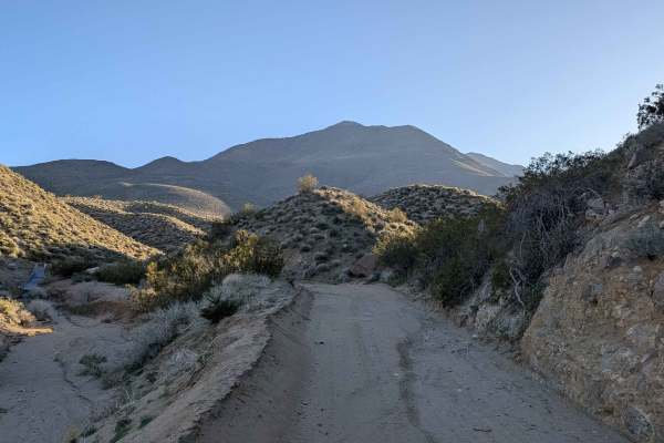
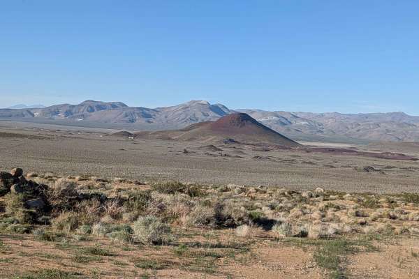
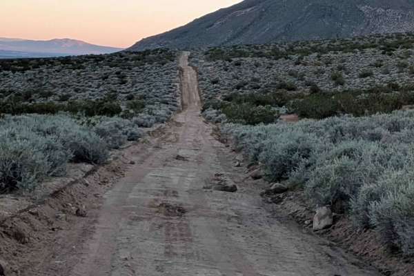
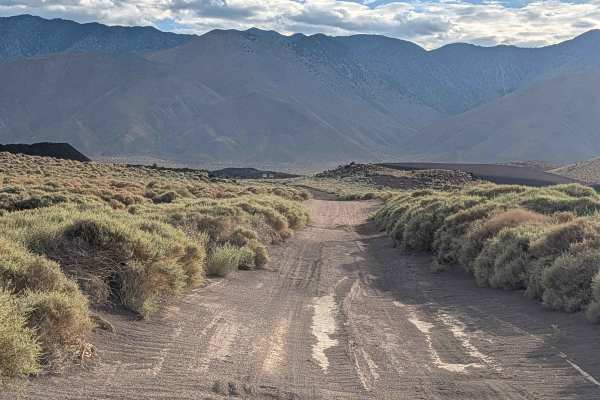
Running parallel to Highway 395 in the foothills of the Eastern Sierra Mountains, this mostly sandy route enjoys slight grading that improves the surface. The trail faithfully follows the second aqueduct of the Los Angeles Department of Water and Power infrastructure, providing clear navigation reference alongside the water conveyance system. Some sections feature runoff ruts interrupting the otherwise maintained surface. This is BLM land threading through the dramatic Sierra foothills.
Difficulty
The slight grading helps tame the sandy surface, making this more manageable than unimproved sand routes. Those runoff ruts in some sections demand attention, but don't create serious obstacles. The mostly sandy surface benefits from airing down for improved traction and comfort. Following the aqueduct means relatively level grades without extreme climbs. Straightforward travel suitable for accessing the foothills without major technical challenges.