Trail Overview
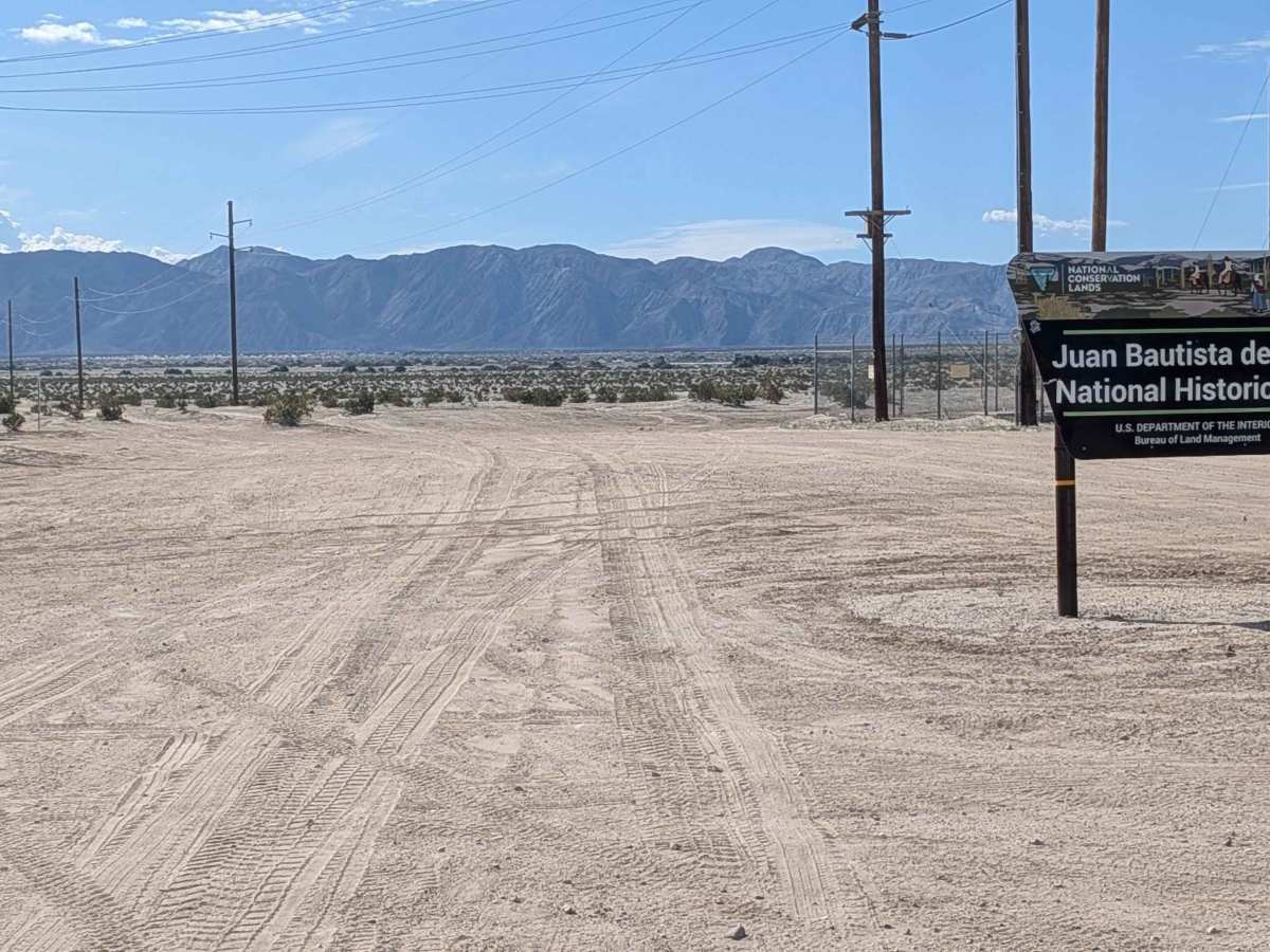
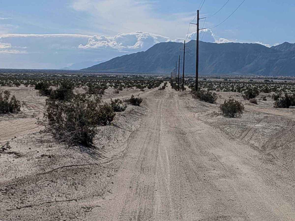
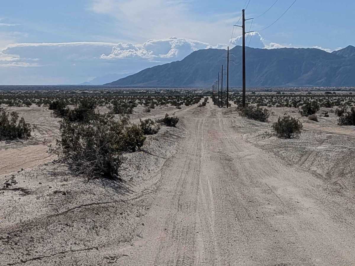
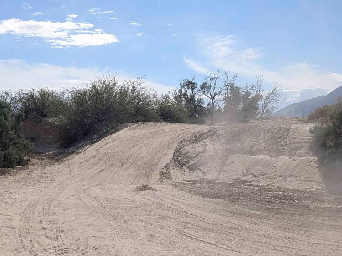
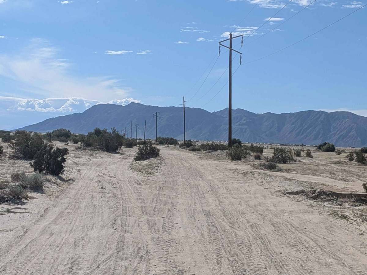
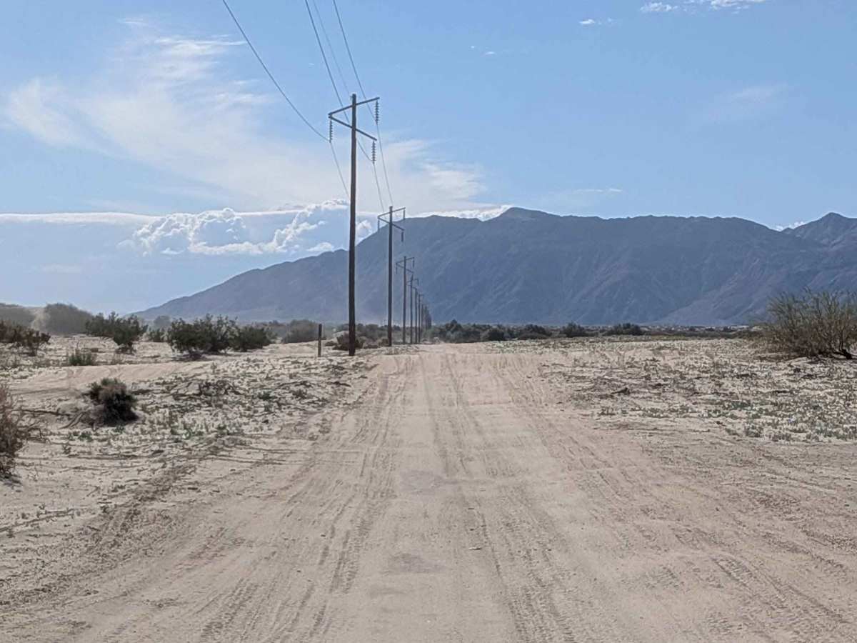
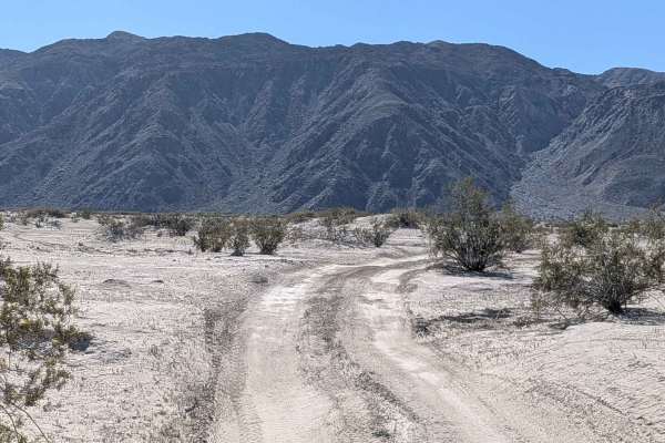
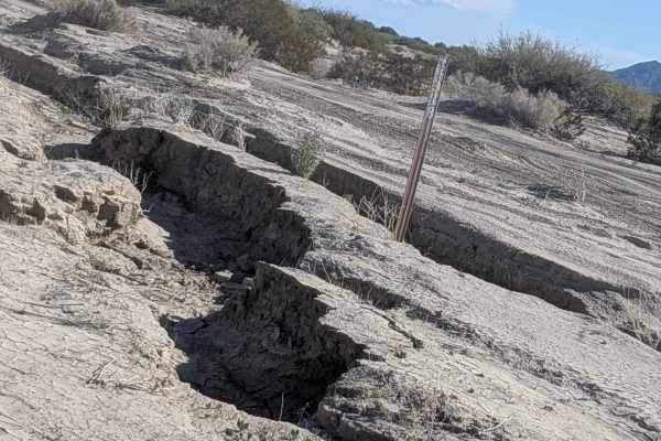
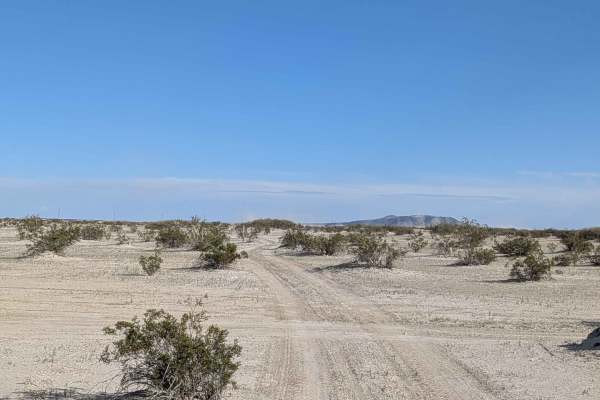
This trail starts off Highway 86 and is part of the Juan Bautista de Anza National Historical Trail, adding historical significance to your journey. The beginning of the route follows an electrical pole line for easy reference. The trail is actually two divided trails, allowing two-way traffic for the first 1.5 miles before becoming one trail. The surface is soft sand with LOTS of washboards and whoops that will keep your suspension working constantly. The trail is lined with lots of creosote bushes and offers a great view of Superstition Mountain as a prominent landmark. After 2 miles, the trail surface becomes hard-packed sand with off-camber sections and ruts. Note that after mile 2, the area to the east is part of the San Sebastian Natural Area, where no vehicles are allowed, and signs are posted. After mile 3, it becomes a no-drone zone as it's a military zone in the area, and the trail drops in and out of the Creek Wash.
Difficulty
This is an easy to moderate trail with soft sand and LOTS of washboards and whoops creating a very bumpy ride that will test your suspension. The divided two-way section makes the first 1.5 miles more comfortable with heavy traffic. After it becomes one trail and transitions to hard-packed sand, the off-camber sections and ruts require more attention. Respect the no vehicle zone boundaries after mile 2 and drone restrictions after mile 3.