Trail Overview
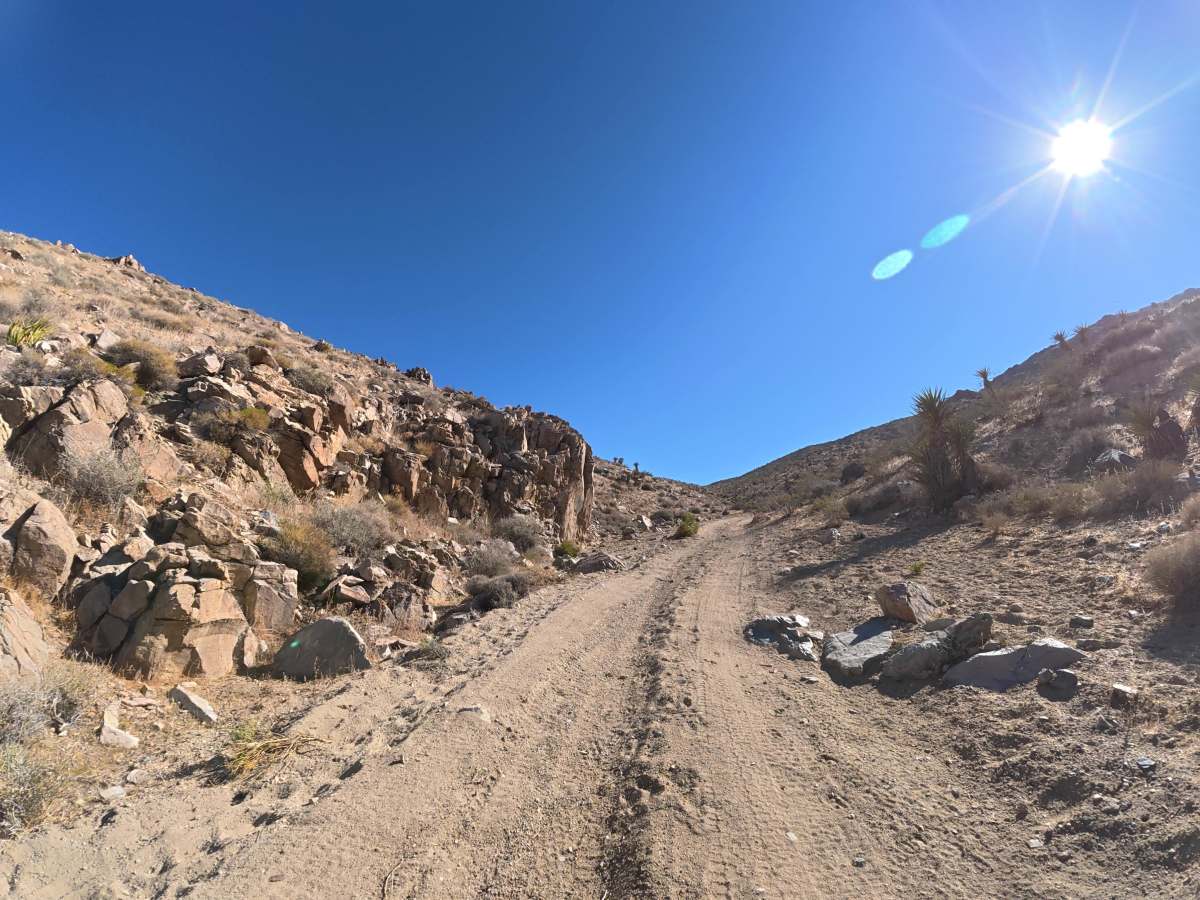
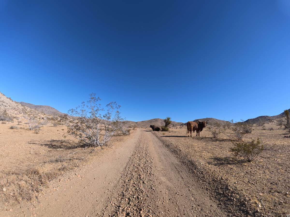
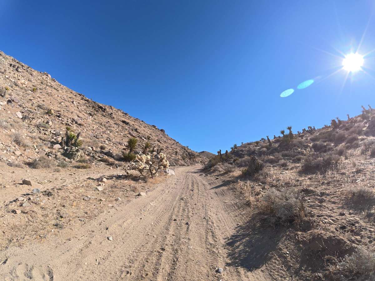
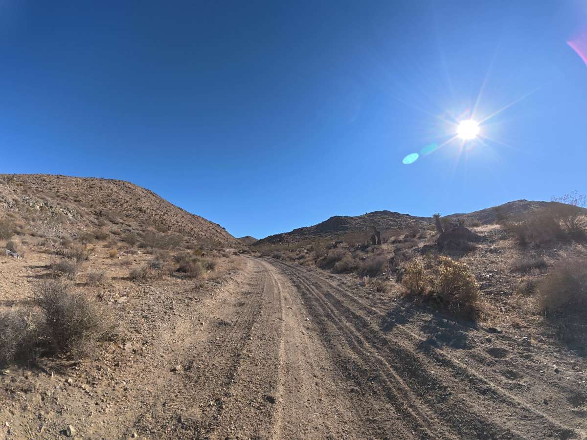
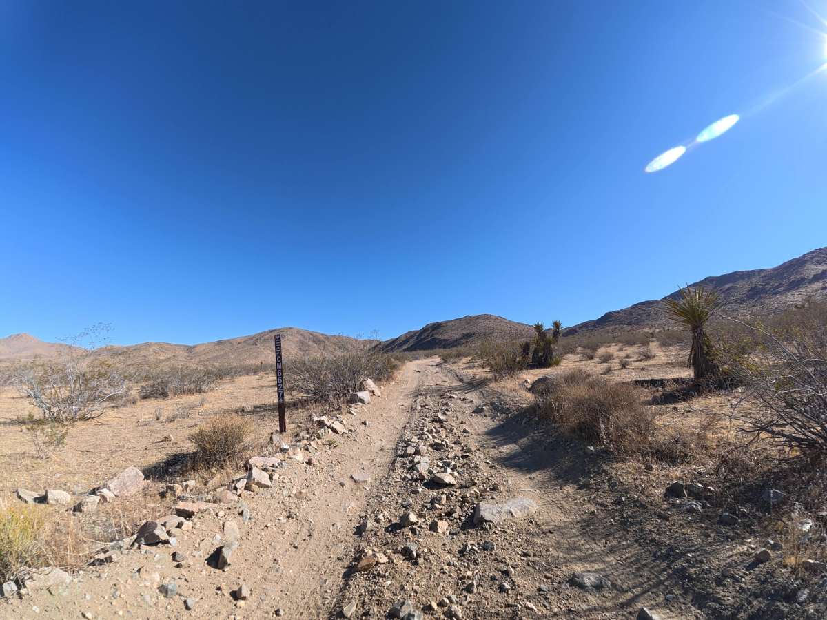
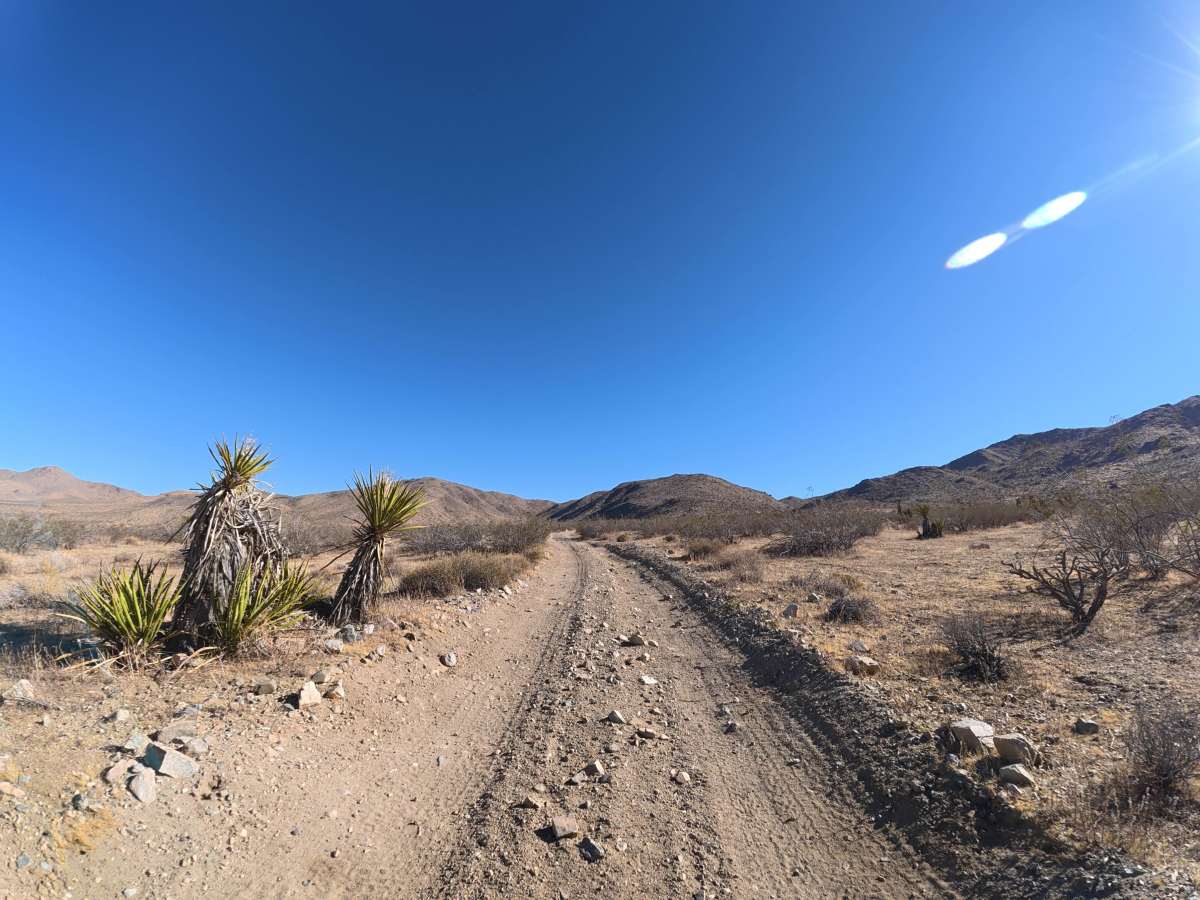
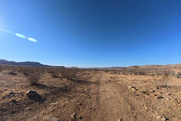
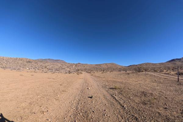
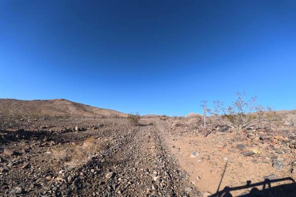
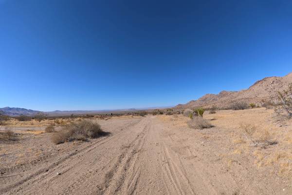
This loose-dirt trail climbs into the hillside with steady elevation gain, frequent rock gardens containing 2–7 inch rocks, and ruts reaching 6–10 inches deep. Larger whoops reach approximately 20–24 inches tall along the climb. The loose surface can become considerably more difficult to drive on when wet. Camping is abundant, with dozens of level campsites located throughout the route. Many include fire rings and provide expansive views of the surrounding desert and mountain ranges. The route continues through the hillside before reaching a private property boundary.
Difficulty
This trail is rated Level 3 because of the 6–10-inch ruts, frequent rock gardens, hillside climbing, and 20–24-inch whoops. The combination of loose terrain and larger obstacles requires careful line selection through the rougher sections.
History
The BLM lands around Sawtooth Canyon reflect the long history of California’s Mojave Desert, where Indigenous peoples traveled and lived for thousands of years before miners, ranchers, and settlers arrived in the 1800s. The surrounding desert also contains remnants of the region’s mining and homesteading era, while its rugged volcanic rock formations preserve a much older geologic history.

 Offroad