Trail Overview
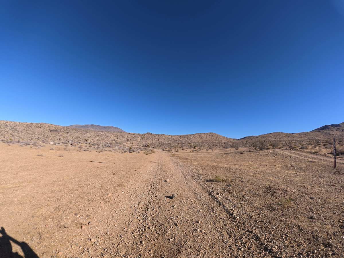
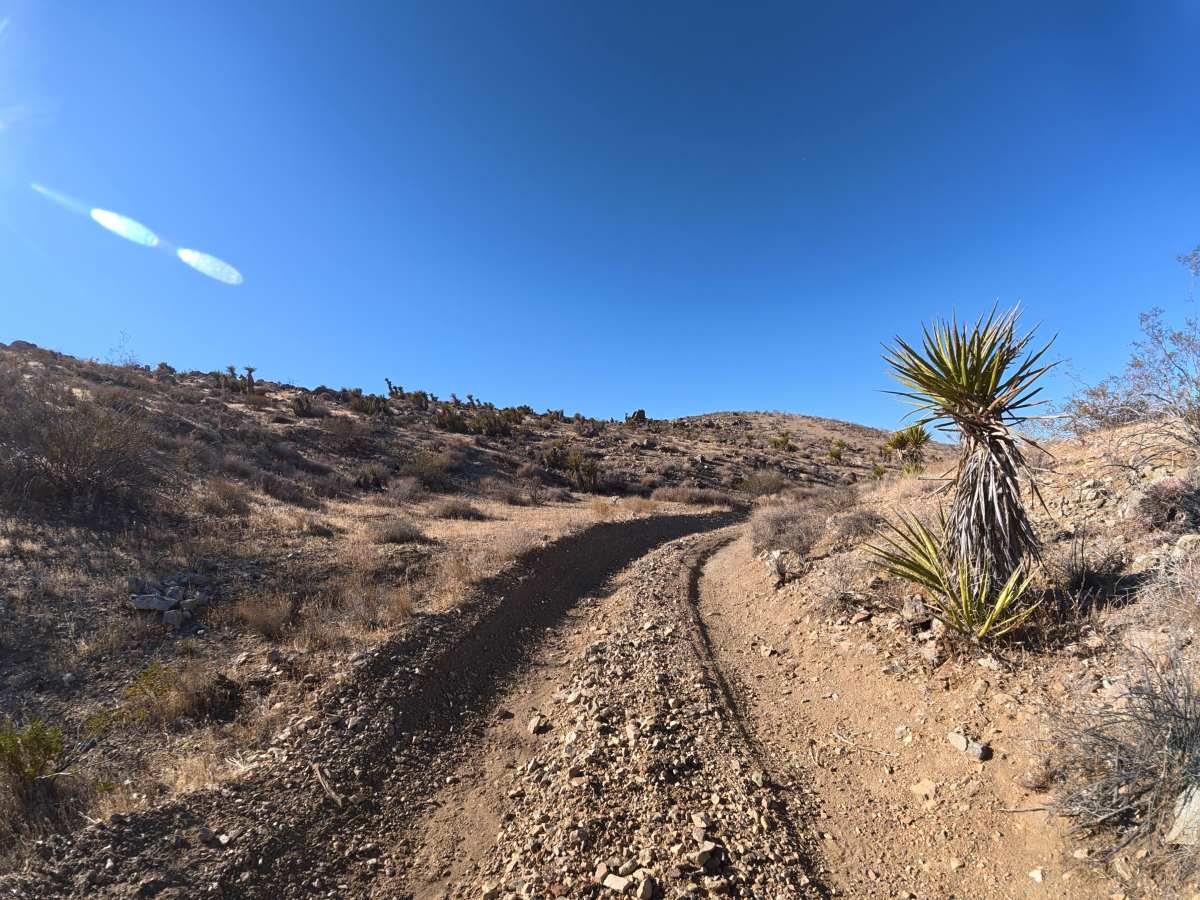
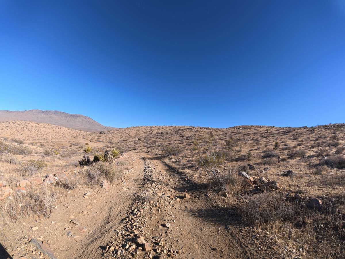
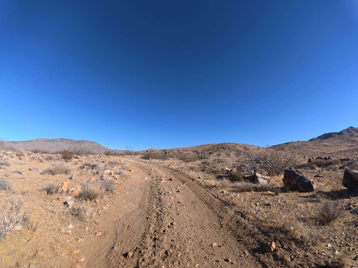
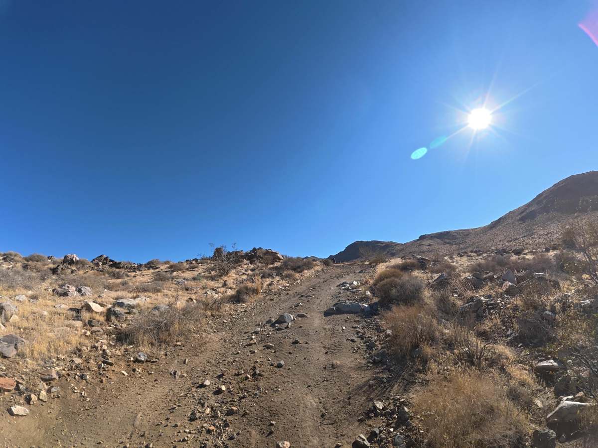
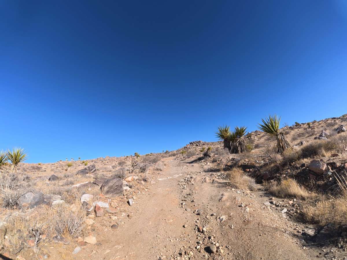
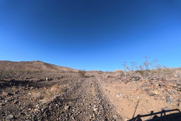
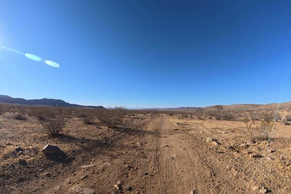
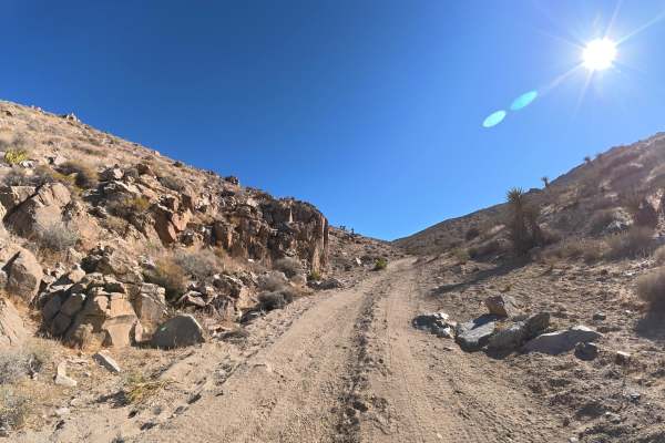
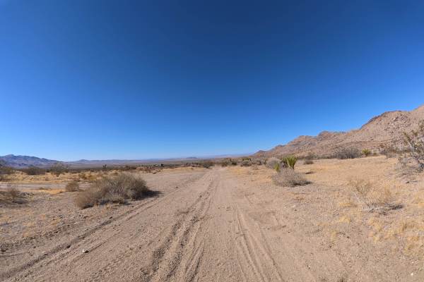
This very narrow, loose-dirt trail leads toward Anita Mine with no room for vehicles to pass. Around 0.1 miles, a steep climb begins through an extended rock garden with rocks reaching approximately 8 inches in diameter. Rock ledges and ruts reach 12–16 inches, making 4WD or AWD required. The loose surface can become considerably more difficult when wet.
Within the first 20 yards, a large, level campsite on the left accommodates up to 10 vehicles and includes a fire ring. Around 0.5 miles, another level hillside campsite accommodates up to three vehicles with a large fire ring and excellent mountain views. The route toward Anita Mine offers impressive scenery with unique rock formations and exposed geology throughout.
Difficulty
This trail is rated Level 3 because of the steep incline, extended rock gardens, and 12–16 inch ruts and ledges. 4WD or AWD is required for the loose, rocky climb and larger obstacles.
History
The BLM lands around Sawtooth Canyon reflect the long history of California’s Mojave Desert, where Indigenous peoples traveled and lived for thousands of years before miners, ranchers, and settlers arrived in the 1800s. The surrounding desert also contains remnants of the region’s mining and homesteading era, while its rugged volcanic rock formations preserve a much older geologic history.