Trail Overview
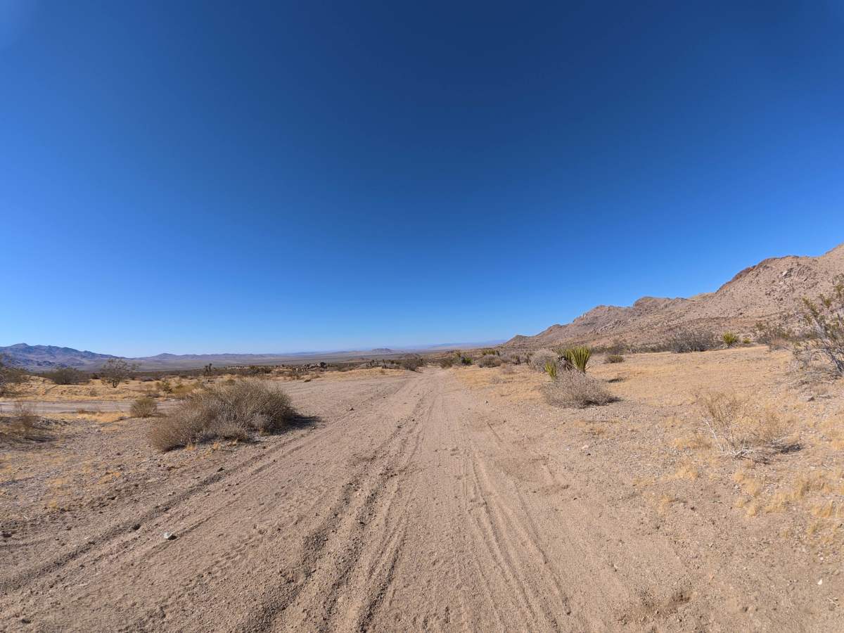
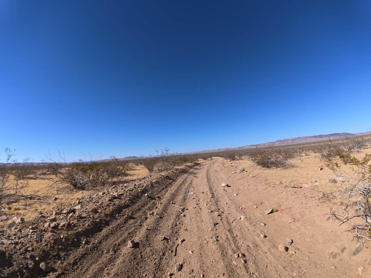
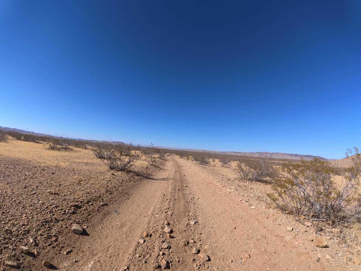
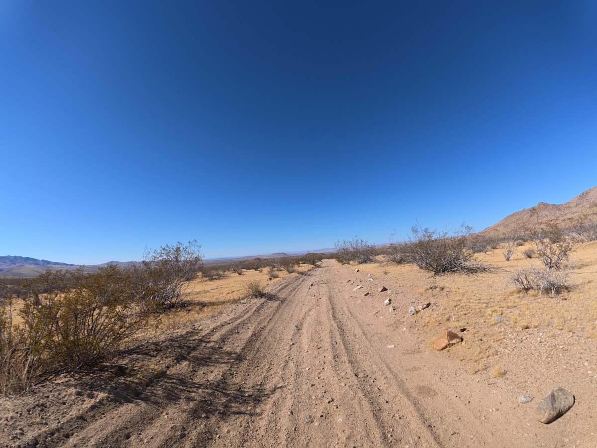
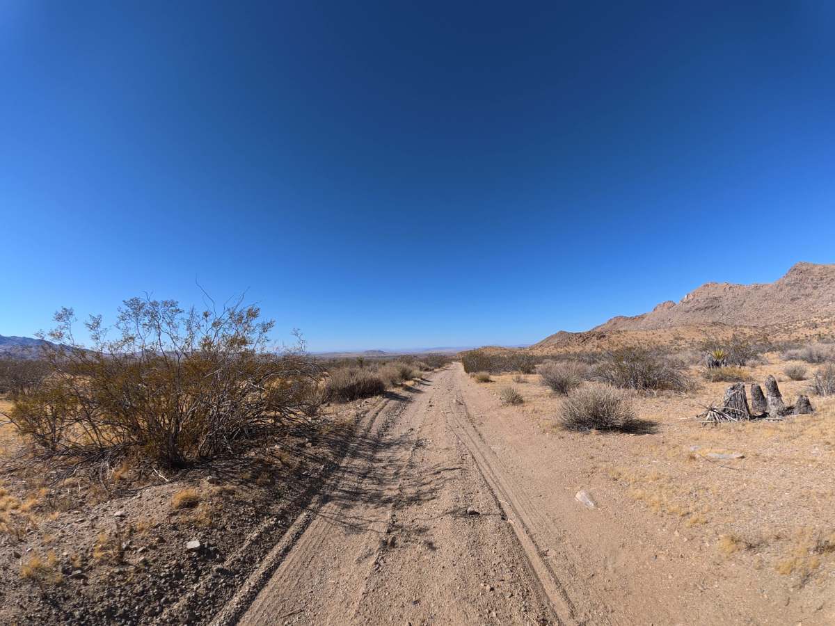
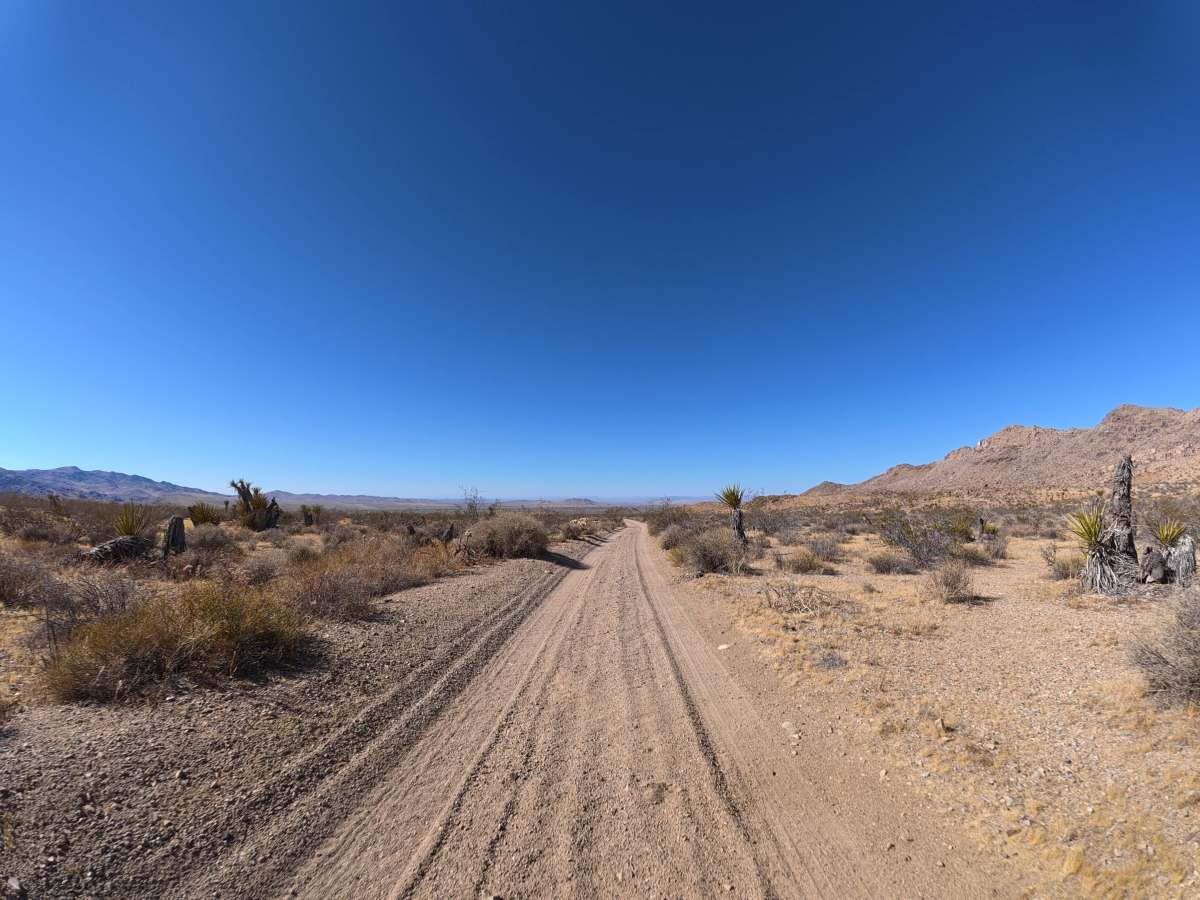
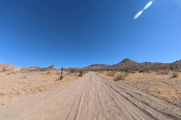
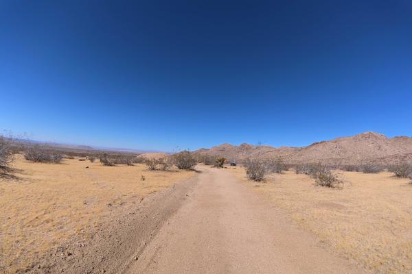
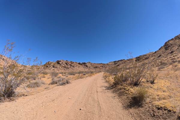
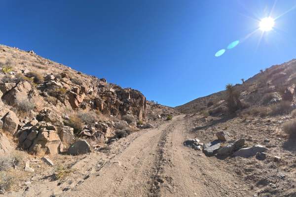
This narrow, loose-sand trail travels north toward BLM OM01C, with occasional pullouts available for passing. Frequent rock gardens contain 2–8-inch rocks, while washouts create sections reaching approximately 10° off-camber. A minimum of 12 inches of ground clearance is recommended to avoid bottoming out in the deeper washes and ruts. The soft sand can become considerably more difficult when wet. The route travels through scenic desert terrain surrounded by mountains, hills, and exposed rock formations. Multiple large campsites are available within the first 0.1 miles, each offering level ground, large fire rings, and enough space for up to six vehicles.
Difficulty
This trail is rated Level 2 because of the frequent 2–8-inch rock gardens, washouts, and sections reaching 10° off-camber. Approximately 12 inches of ground clearance is recommended for safely clearing the deeper washes and ruts.
History
The BLM lands around Sawtooth Canyon reflect the long history of California’s Mojave Desert, where Indigenous peoples traveled and lived for thousands of years before miners, ranchers, and settlers arrived in the 1800s. The surrounding desert also contains remnants of the region’s mining and homesteading era, while its rugged volcanic rock formations preserve a much older geologic history.