Trail Overview
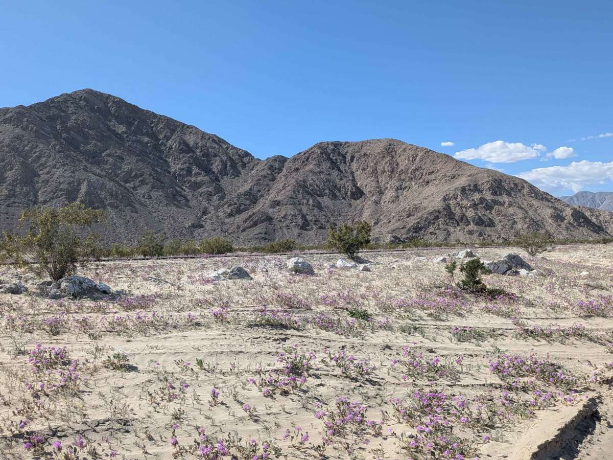
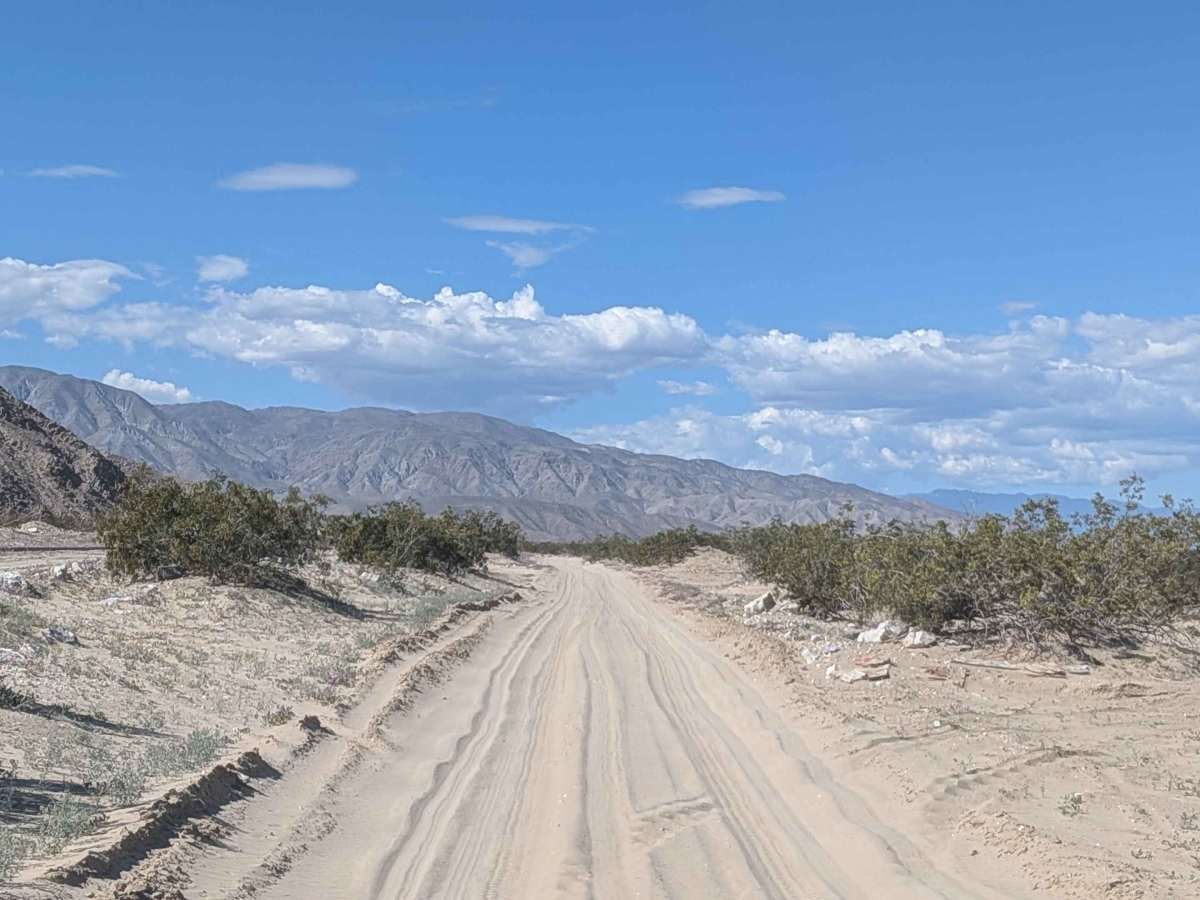
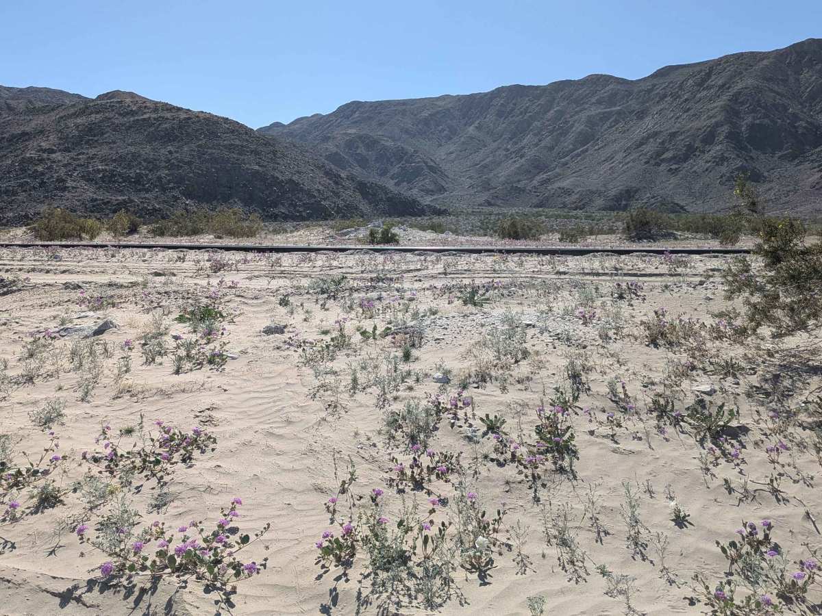
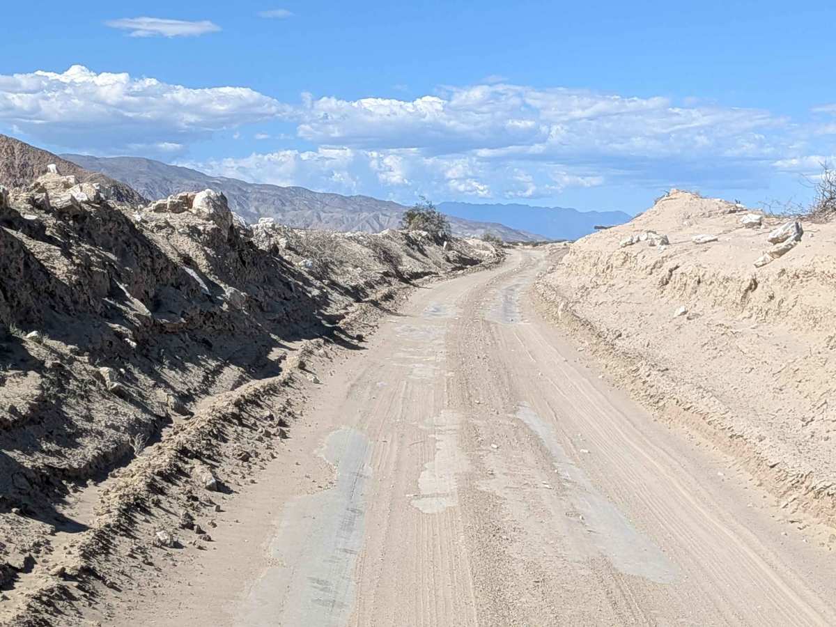
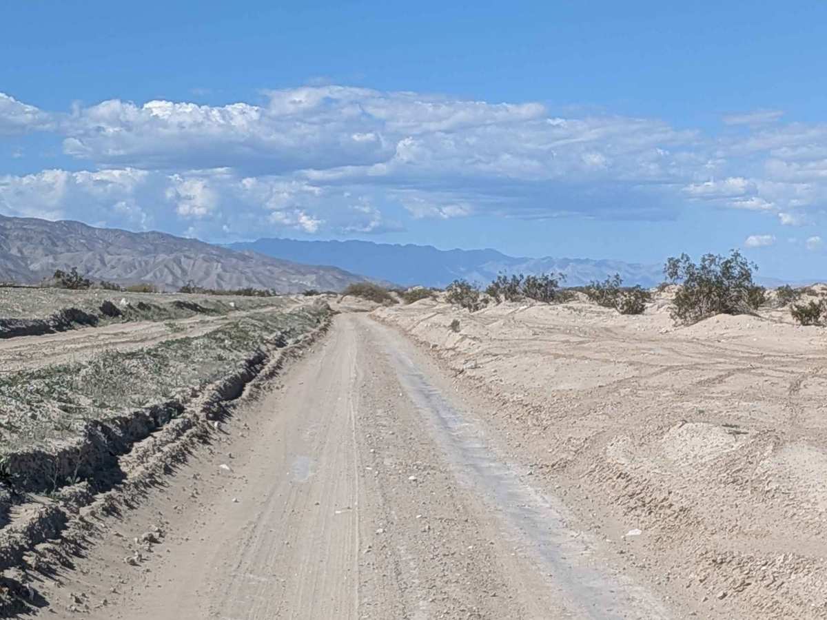
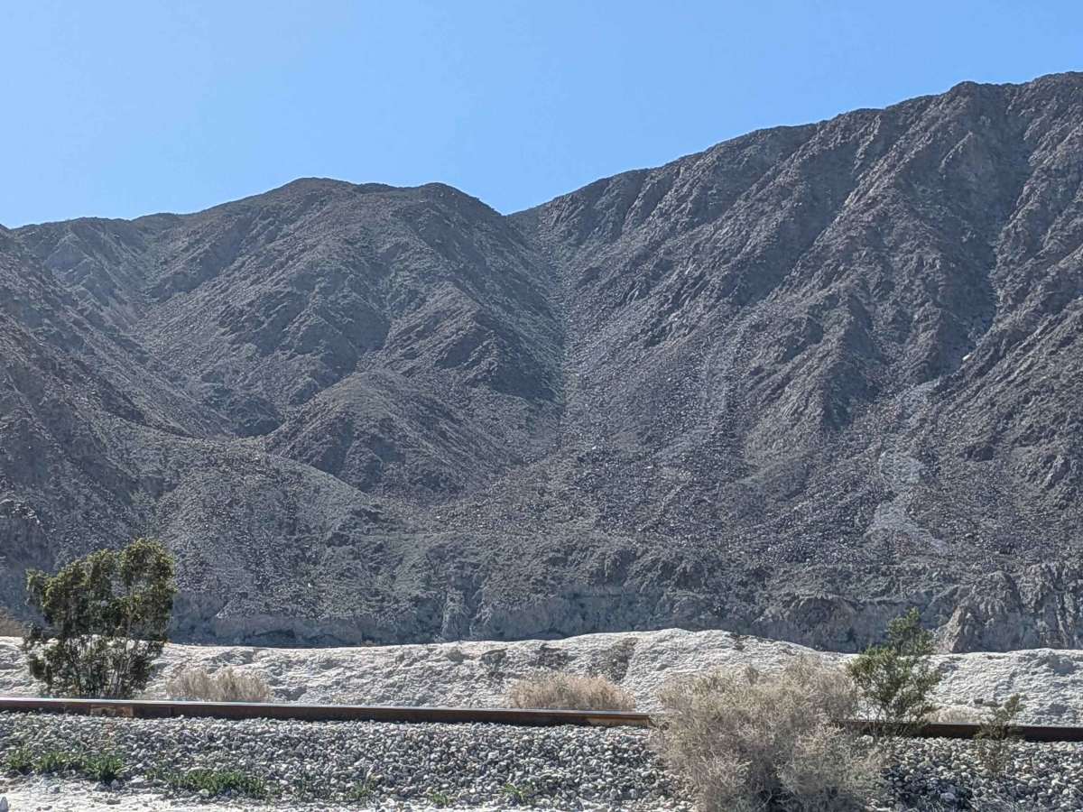
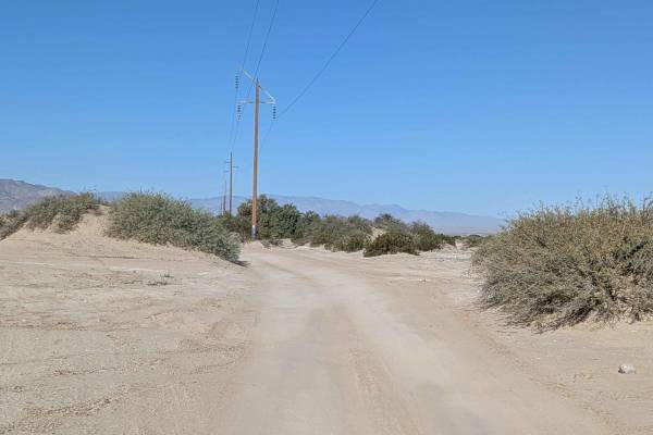
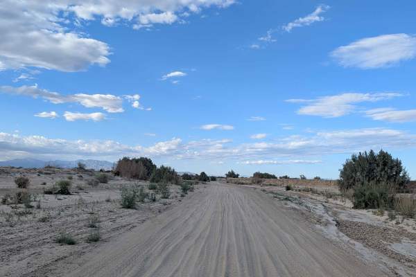
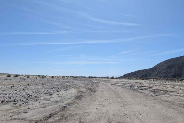
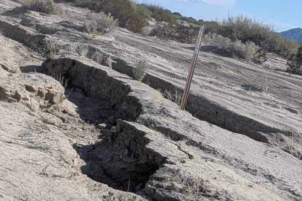
This trail alternates between very sandy and hard-packed sand throughout, keeping you adjusting your driving approach. The route follows along the base of a railroad track and Superstition Mountain, providing clear landmarks for navigation. The trail is fairly barren except for some creosote bushes, seasonal wildflowers, and other flora scattered about. The route travels through a few sections that cut through areas with sand walls 1 to 4 feet tall, creating mini canyon environments. You'll encounter lots of washboards, especially in the last mile to the west. The trail ends near the entrance of Fish Creek Wash, a great trail to explore within Anza Borrego Desert State Park. Note there is an area with an active shooting range just outside Anza Borrego State Park on the south side of the train tracks next to the trail, so be aware of the activity. The last mile on the west side enters Anza Borrego Desert State Park, where only highway legal vehicles are allowed.
Difficulty
This is an easy trail with the main challenge being the alternating surface between very sandy and hard-packed sand. The lots of washboards create a bumpy ride, but aren't technical. The sand walls, 1 to 4 feet tall, are scenic features rather than obstacles. Note the restriction in the last mile, where only highway legal vehicles are allowed upon entering Anza Borrego. Be aware of the shooting range activity for safety.