Trail Overview
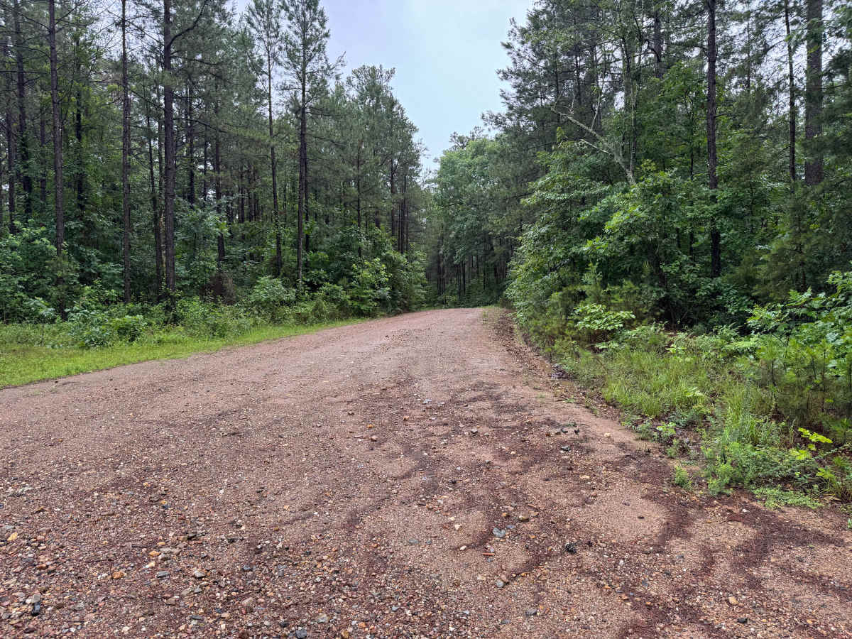
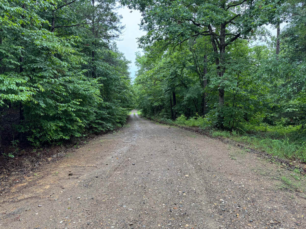
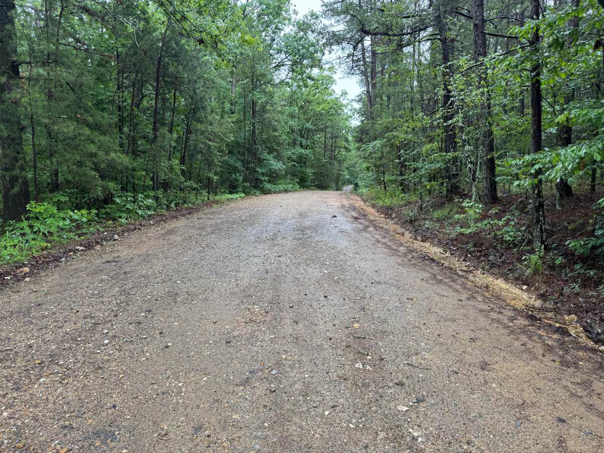
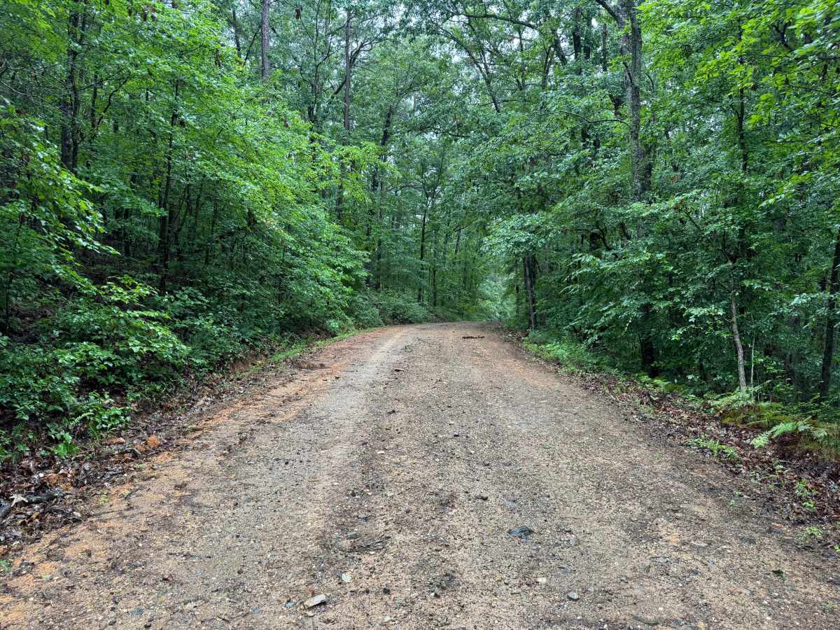
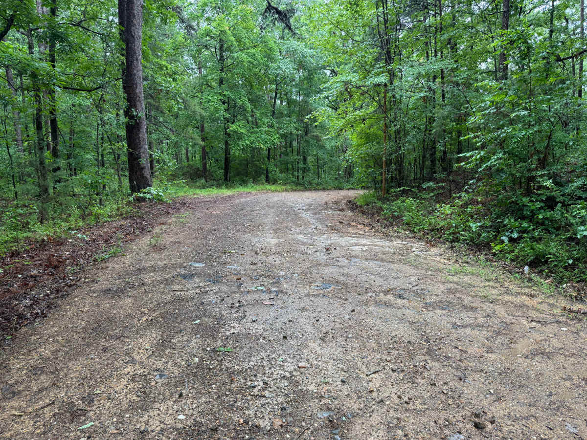
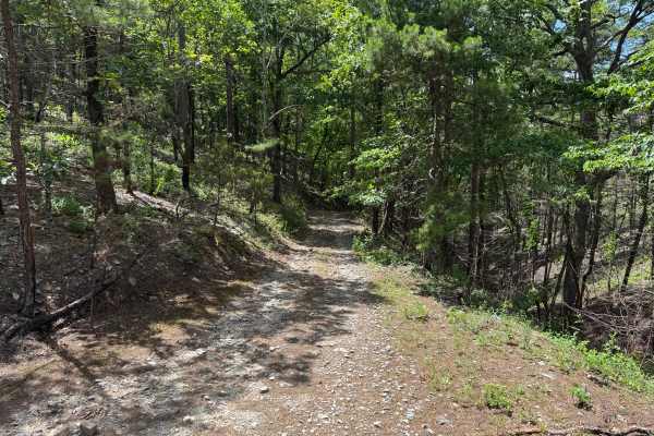
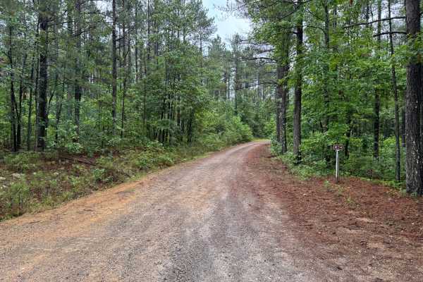
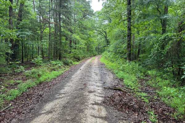
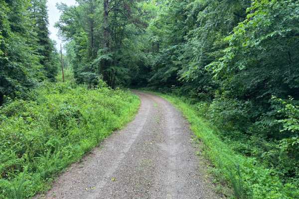
This easy gravel connector route travels through a scenic section of forest between Bear Den Mountain and Granville Lane. The road is regularly maintained and provides a smooth driving experience suitable for virtually any street-legal vehicle. Surrounded by dense pine and hardwood forests, the route offers a quiet drive through the Ouachita Mountains with several gentle curves and rolling elevation changes. The roadway is generally wide enough for two vehicles to pass comfortably, with excellent visibility through most sections. There are no technical obstacles, water crossings, ledges, or significant terrain challenges, making this an ideal route for travelers seeking a relaxing forest drive or a convenient connection between other roads in the area. While the road surface is maintained, visitors should remain alert for wildlife crossings. Following storms or periods of heavy wind, fallen limbs or downed trees may occasionally obstruct portions of the roadway until maintenance crews can remove them. This route serves primarily as a scenic forest connector rather than a destination trail, but the towering pines, mature hardwoods, and peaceful surroundings make it an enjoyable drive regardless of vehicle type.
Difficulty
There are no technical obstacles, water crossings, steep climbs, off-camber sections, or clearance concerns. The maintained gravel surface and wide roadway make this route suitable for all vehicle types, including passenger cars.
History
The Ouachita National Forest was established in 1907 and is recognized as the oldest national forest in the southern United States. Many roads found throughout the forest today originated as logging, timber management, fire access, or resource extraction routes before becoming part of the modern Forest Service road network. Forest management remains an important part of the landscape, and travelers may encounter evidence of prescribed burns, timber thinning, and habitat restoration efforts. The Ouachita Mountains themselves are among the oldest mountain ranges in North America and are notable for their unique east-west orientation.