Trail Overview
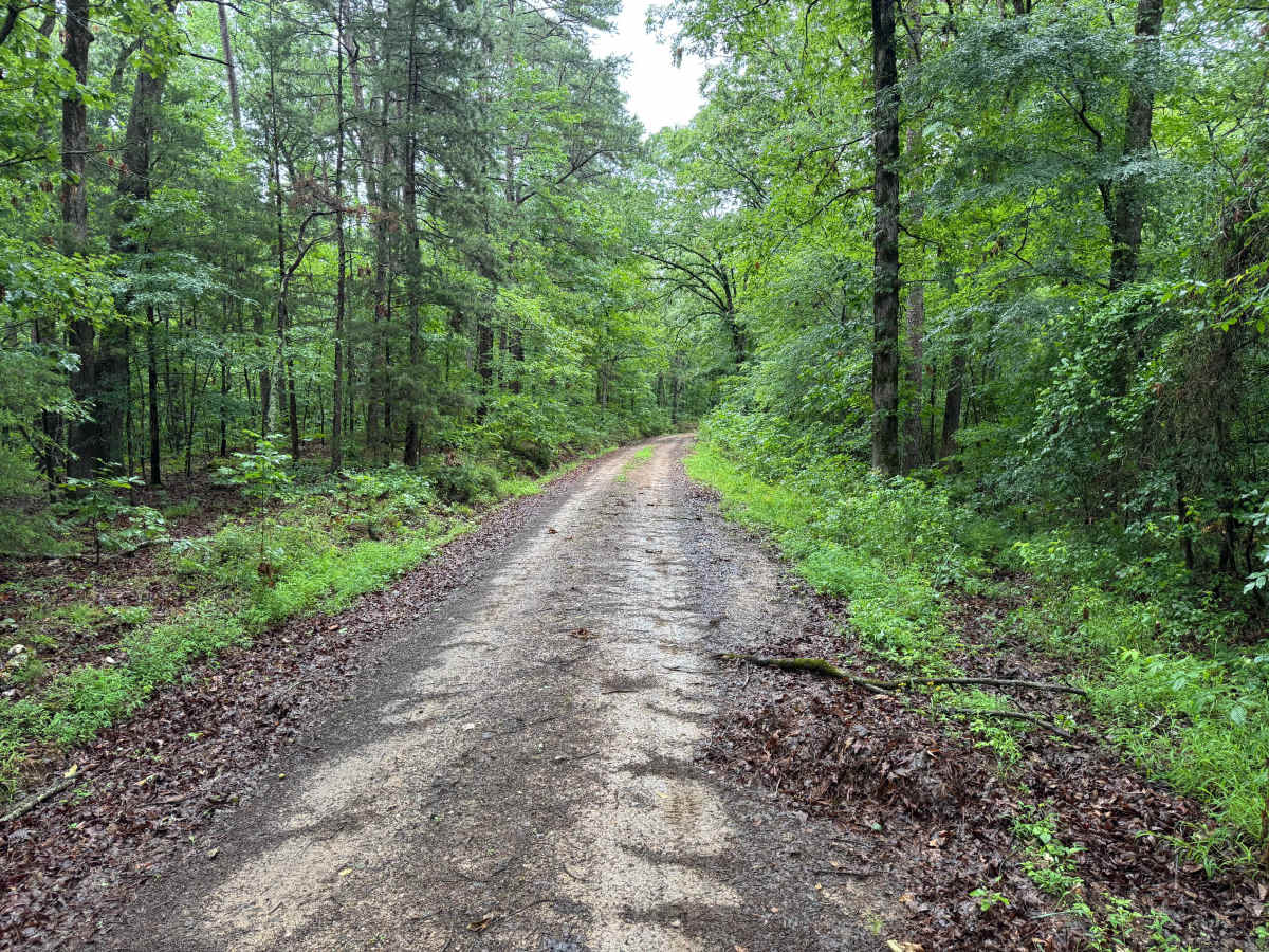
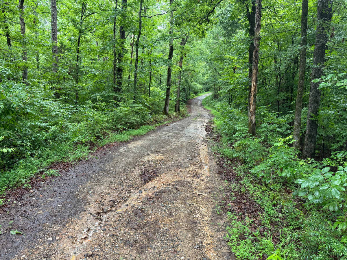
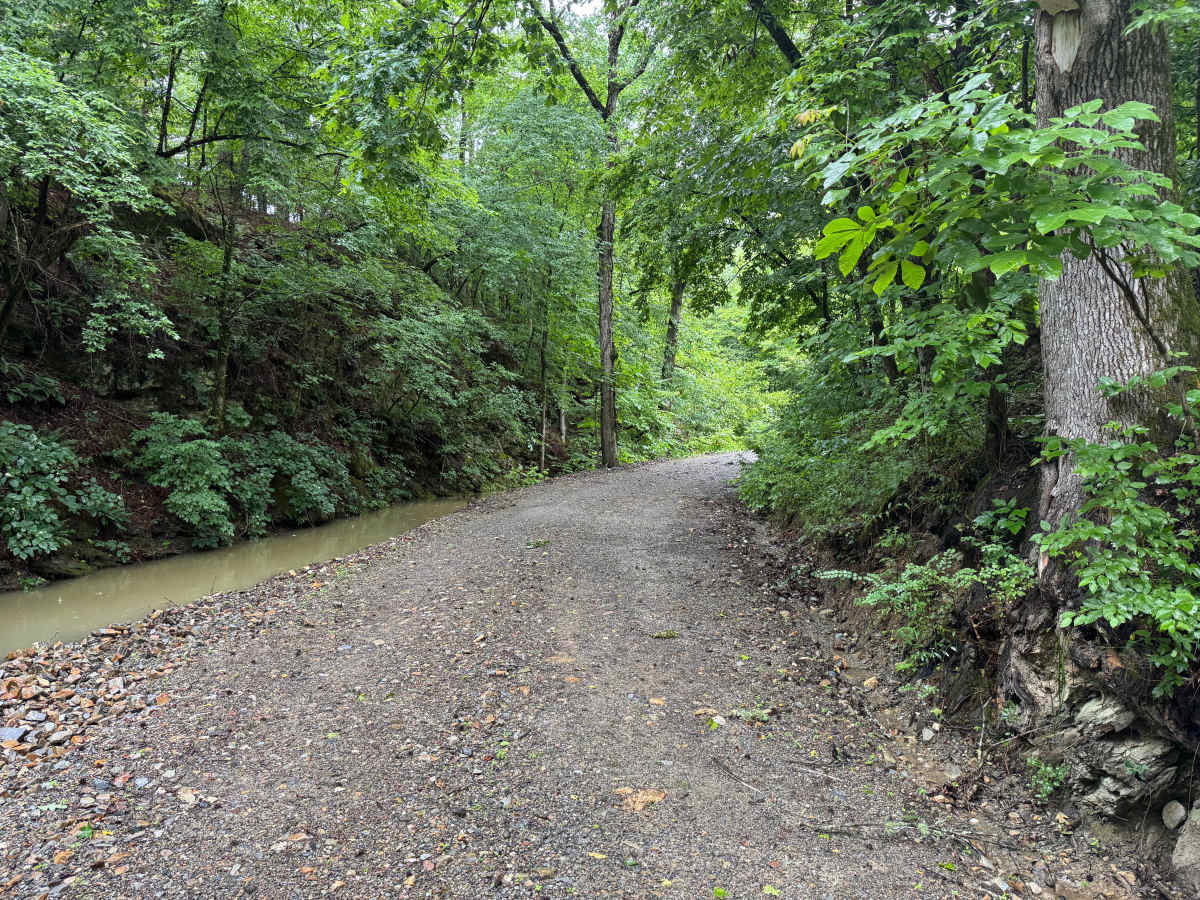
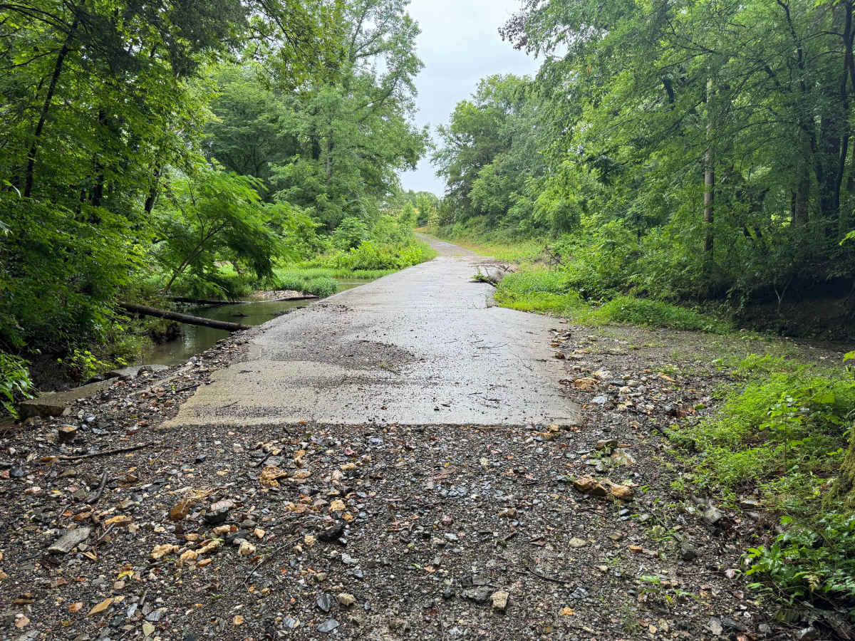
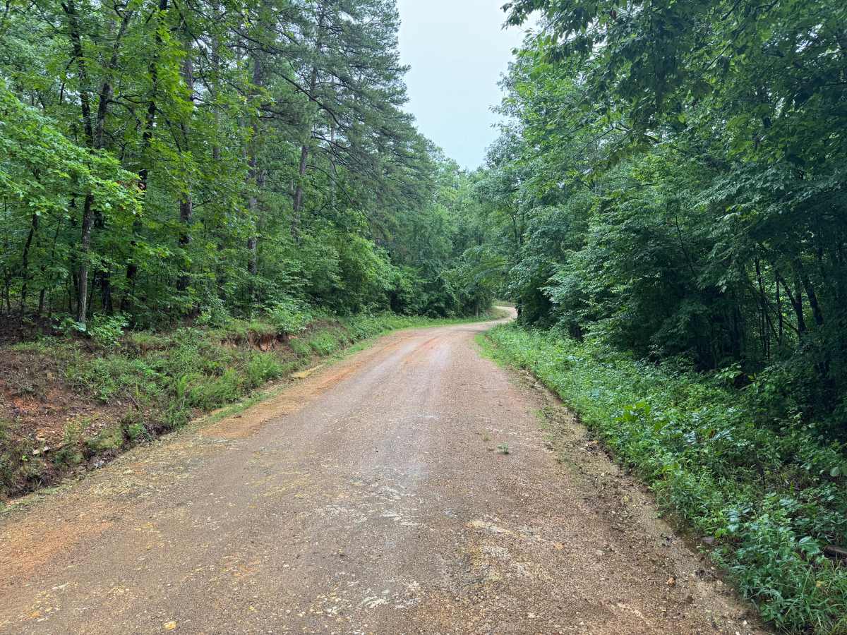
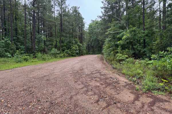
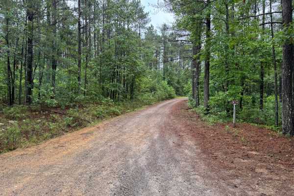
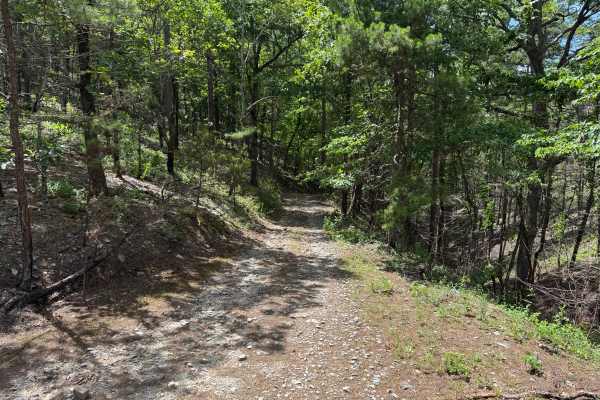
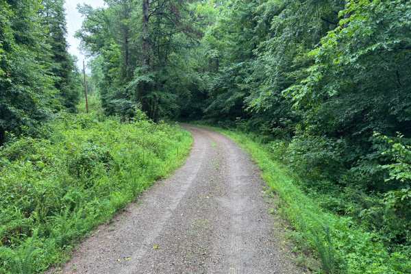
This scenic forest route winds through a beautiful section of the Ouachita Mountains, combining maintained gravel roads, towering hardwoods and pines, seasonal creek crossings, and impressive rock formations. The drive is easy overall but offers enough variety to keep it interesting, making it a worthwhile route for those looking to enjoy the scenery rather than tackle technical terrain. The road is generally wide enough for two vehicles to pass comfortably, though a few narrower sections exist near creek crossings, small bridges, and areas where water erosion has narrowed the shoulders. Most of the route follows a well-maintained gravel surface with gentle curves through dense forest. One of the highlights of the drive is the series of tall rock walls and exposed formations that rise alongside portions of the roadway. The route also crosses a creek twice, adding visual interest and making the drive especially enjoyable following moderate rainfall.
There are no significant obstacles, technical challenges, or clearance concerns under normal conditions. However, travelers should remain alert for downed trees after storms, wildlife crossings, and elevated water levels at the creek crossings following heavy rainfall. Portions of the route pass near private property, so staying on the designated roadway and respecting adjacent landowners is important.
Difficulty
The route presents no major technical obstacles. The primary considerations are occasional narrow sections, potential erosion near road edges, seasonal creek conditions, and the possibility of downed trees after storms.
History
The Ouachita National Forest was established in 1907 and is recognized as the oldest national forest in the southern United States. Many roads found throughout the forest today originated as logging, timber management, fire access, or resource extraction routes before becoming part of the modern Forest Service road network. Forest management remains an important part of the landscape, and travelers may encounter evidence of prescribed burns, timber thinning, and habitat restoration efforts. The Ouachita Mountains themselves are among the oldest mountain ranges in North America and are notable for their unique east-west orientation