Little Bee Ridge

Total Miles1.6
Technical Rating
3Easy
Best TimeSpring, Summer, Fall, Winter
Trail TypeFull-Width Road
Accessible By
Open Trail Map

Trail Overview

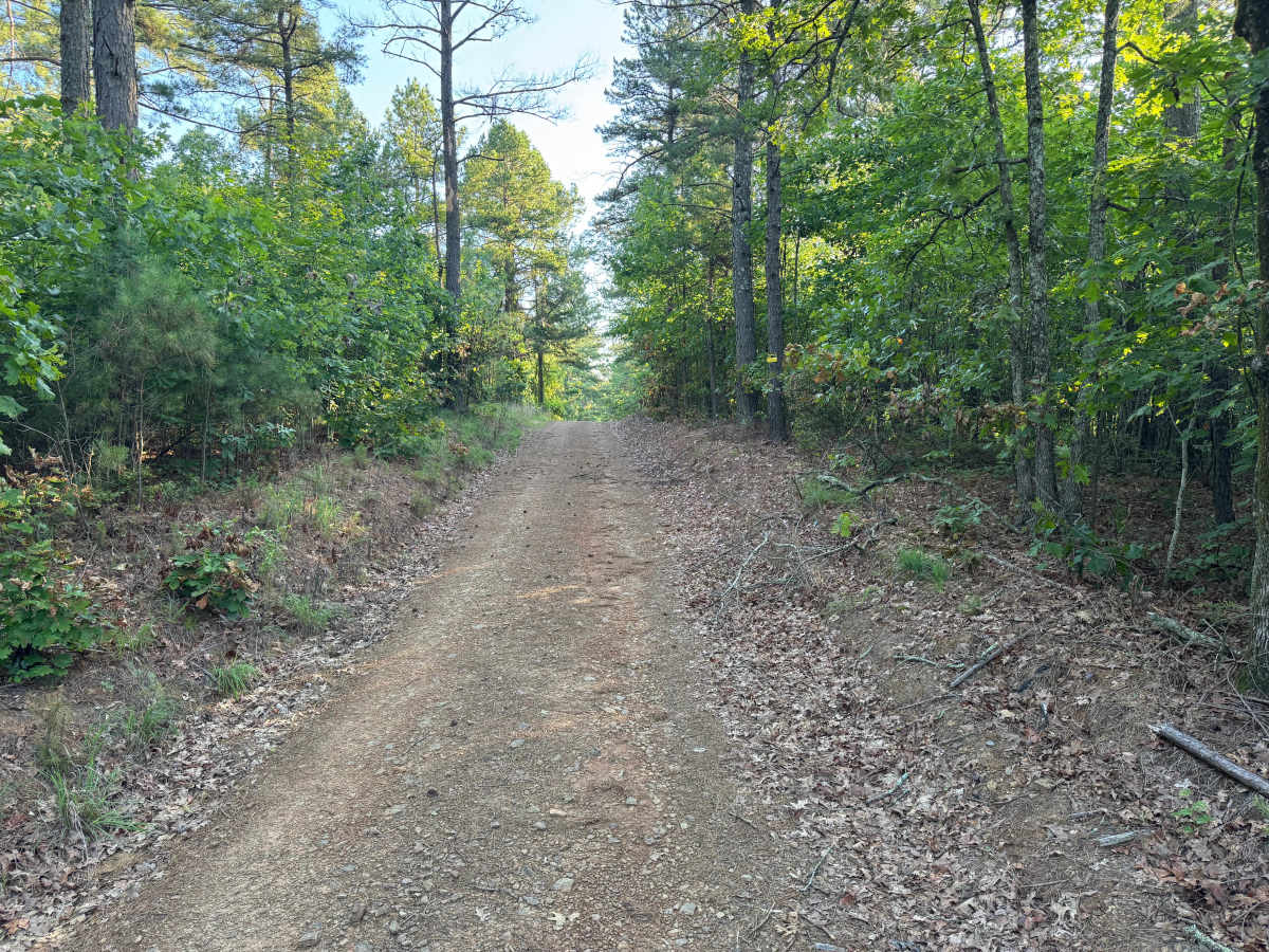
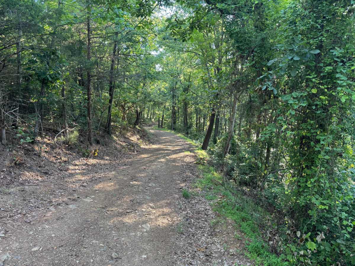
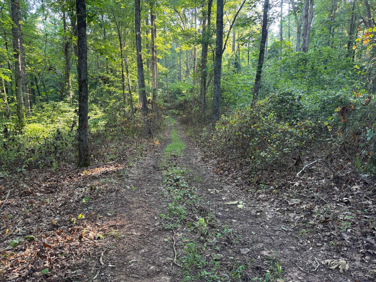
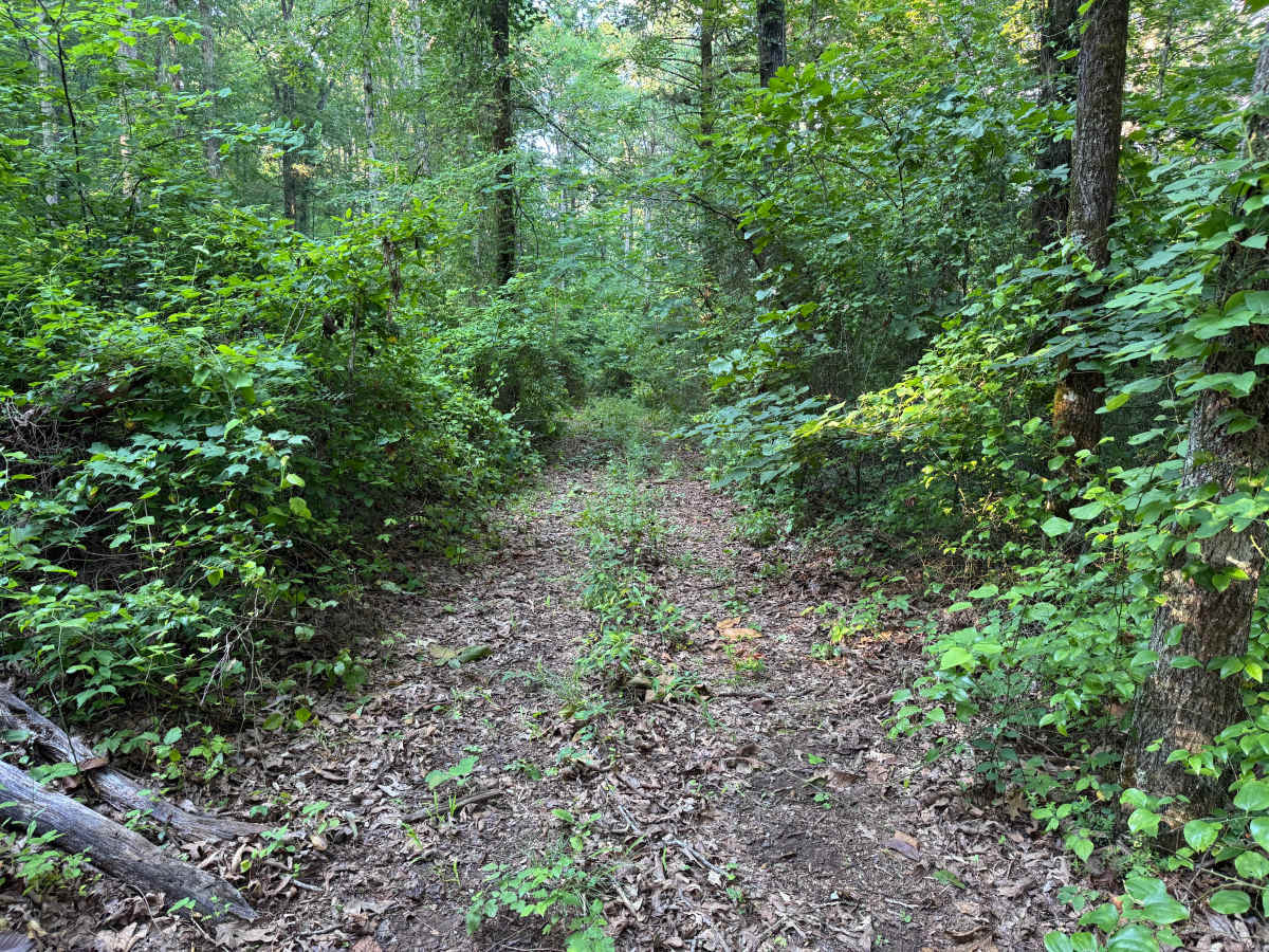
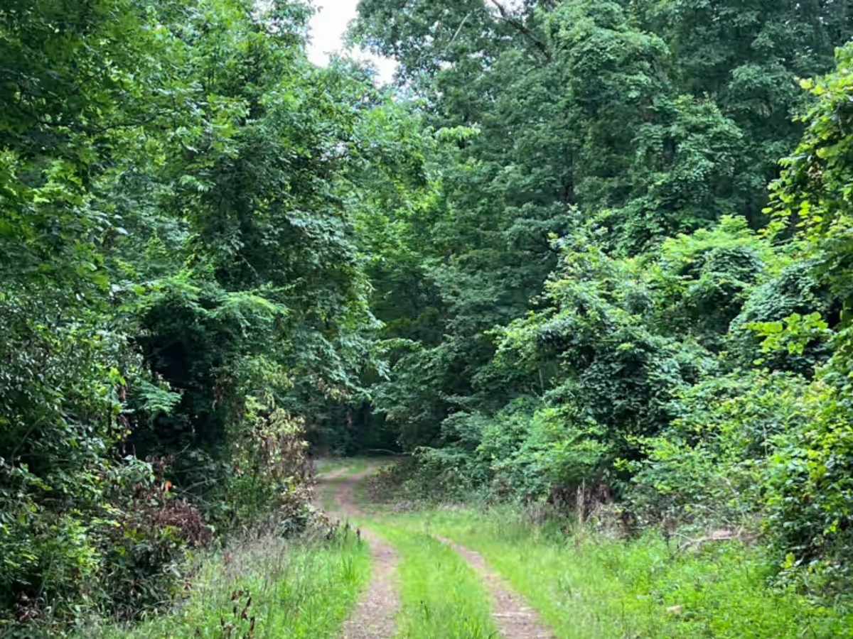
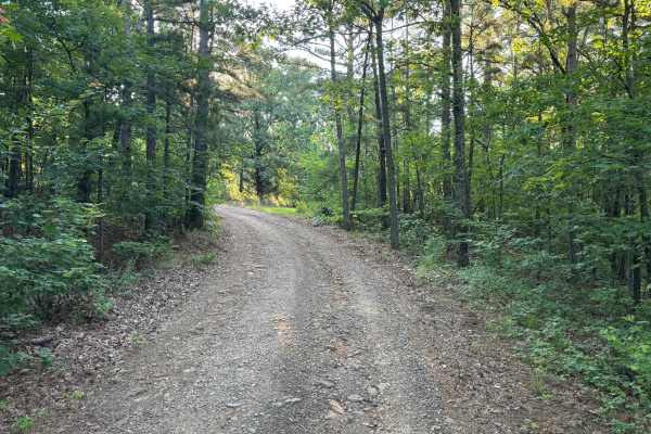
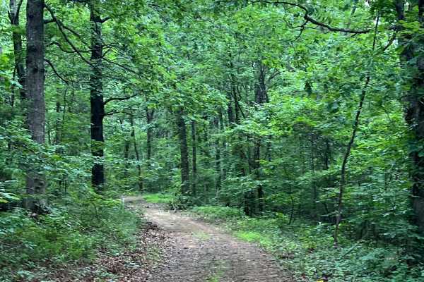
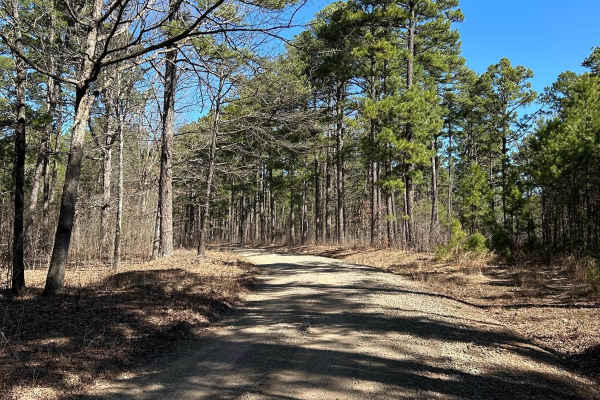
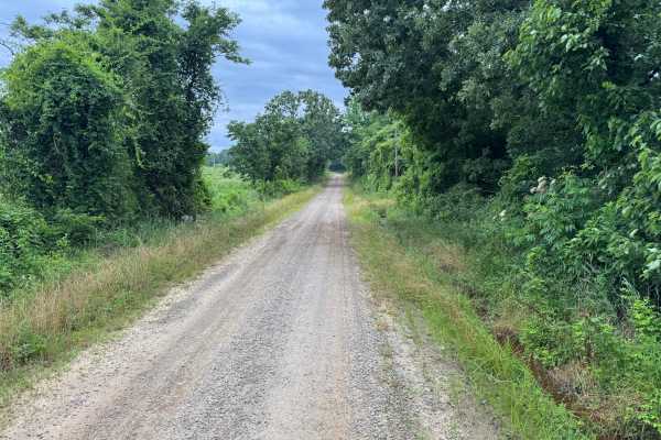
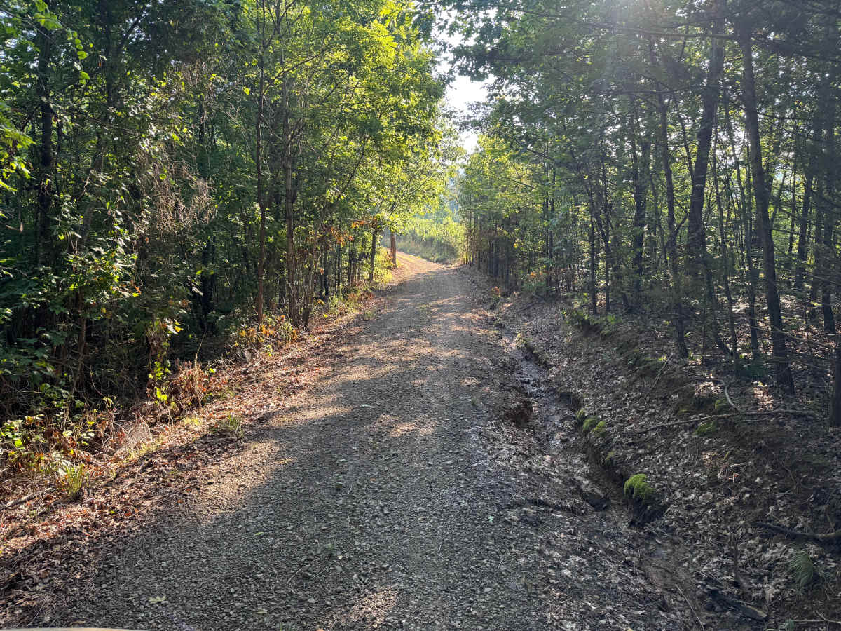
This out-and-back route descends through dense forest on a narrow one-lane road before transitioning into a heavily overgrown trail. Vegetation closes in significantly along the lower section, with limited opportunities for passing. The route ends at a gate where vehicles can safely turn around before retracing the same path back to the trailhead.

Photos of Little Bee Ridge

Difficulty

The narrow corridor, overgrown vegetation, and lack of passing opportunities require careful vehicle placement and acceptance of potential paint contact from brush and tree limbs.

History

The Ouachita National Forest was established in 1907 and is recognized as the oldest national forest in the southern United States. Many roads found throughout the forest today originated as logging, timber management, fire access, or resource extraction routes before becoming part of the modern Forest Service road network. Forest management remains an important part of the landscape, and travelers may encounter evidence of prescribed burns, timber thinning, and habitat restoration efforts. The Ouachita Mountains themselves are among the oldest mountain ranges in North America and are notable for their unique east-west orientation.

Technical Rating

3

Little Bee Ridge Trail can be accessed by the following ride types:

  • 60 Inch
  • High Clearance
  • Full Width

Little Bee Ridge Map

The onX Offroad Difference

onX Offroad combines trail photos, descriptions, difficulty ratings, width restrictions, seasonality, and more in a user-friendly interface. Available on all devices, with offline access and full compatibility with CarPlay and Android Auto. Discover what you're missing today!

Open Trail Map