Trail Overview
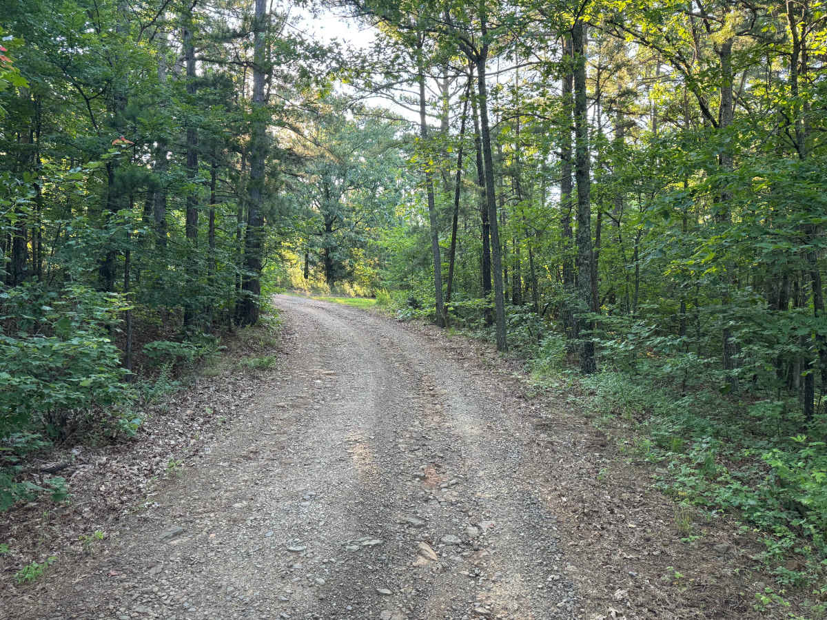
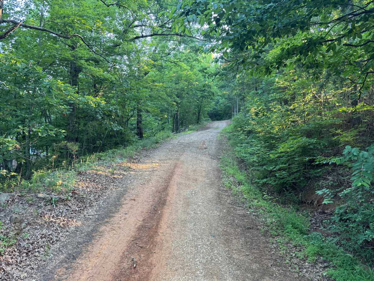
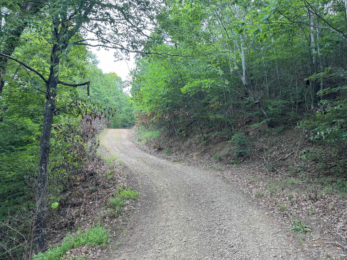
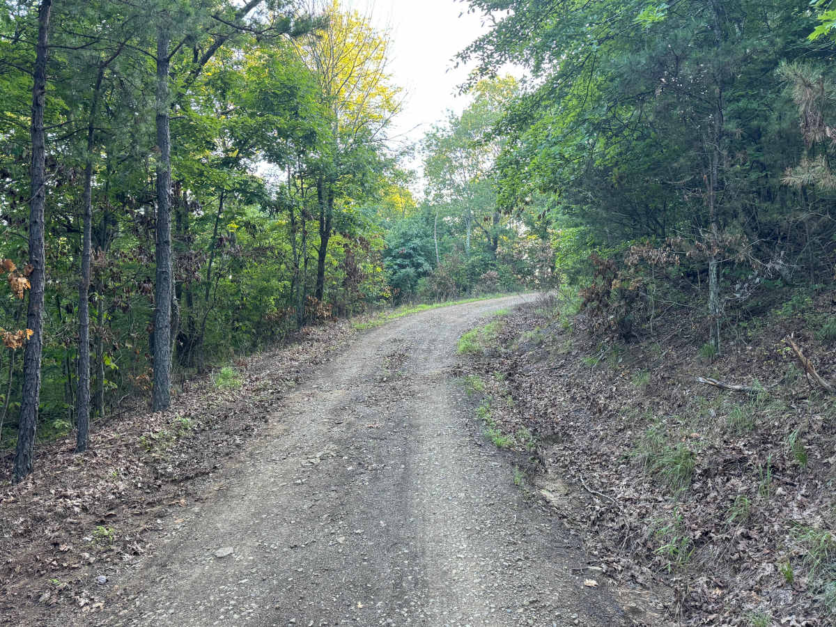
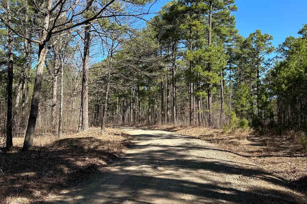
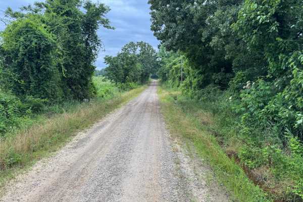
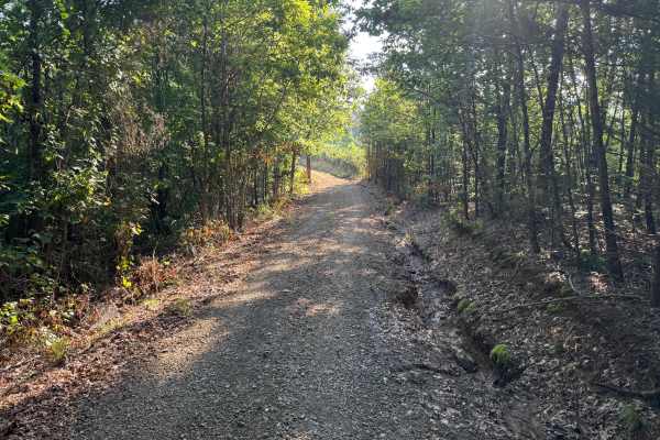
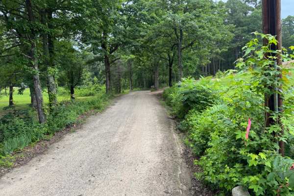
This out-and-back route climbs around Katie Knob Mountain on a generally well-maintained gravel road. The trail is mostly single vehicle width but includes several pull-off areas where oncoming traffic can pass. Drivers will encounter a few minor washouts and rough spots where larger rocks have eroded away, but no major obstacles are present. The route ends at Cazort communications tower before retracing the same path back to the trailhead.
Difficulty
Narrow sections, moderate climbs, and occasional erosion require drivers to pay attention to tire placement, particularly in low-clearance or two-wheel-drive vehicles.
History
The Ouachita National Forest was established in 1907 and is recognized as the oldest national forest in the southern United States. Many roads found throughout the forest today originated as logging, timber management, fire access, or resource extraction routes before becoming part of the modern Forest Service road network. Forest management remains an important part of the landscape, and travelers may encounter evidence of prescribed burns, timber thinning, and habitat restoration efforts. The Ouachita Mountains themselves are among the oldest mountain ranges in North America and are notable for their unique east-west orientation.