Trail Overview
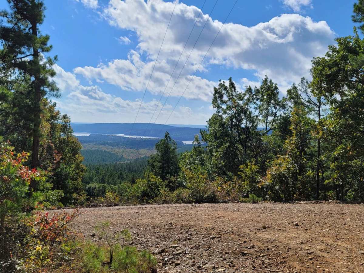
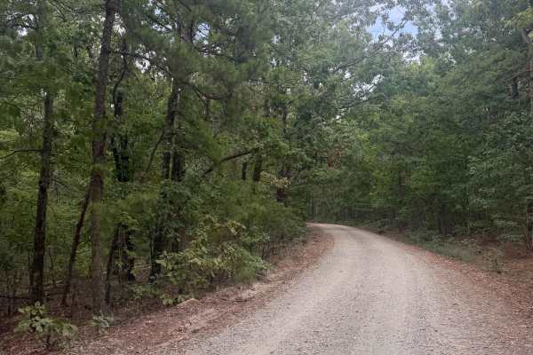
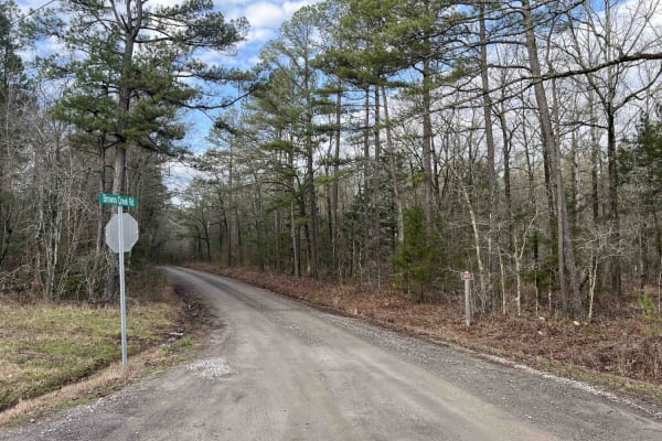
This scenic and beginner-friendly route is ideal for overland enthusiasts, SxSs, and high-clearance four-wheel-drive vehicles looking to explore the beautiful pine and oak forests of the eastern Ouachita National Forest. Spanning approximately 18.5 miles, this easy dirt and gravel trail connects the popular Lake Sylvia Recreation Area to the scenic shores of Lake Winona before ending at Arkansas State Highway 9. Along the way, drivers will navigate rolling terrain with elevation changes ranging from 565 feet to nearly 1,500 feet, showcasing stunning vistas of nearby peaks like North Fork Pinnacle and Chinquapin Mountain. The driving is generally straightforward with a low technical difficulty, making it an excellent option for families and novice offroaders seeking a relaxing day trip.
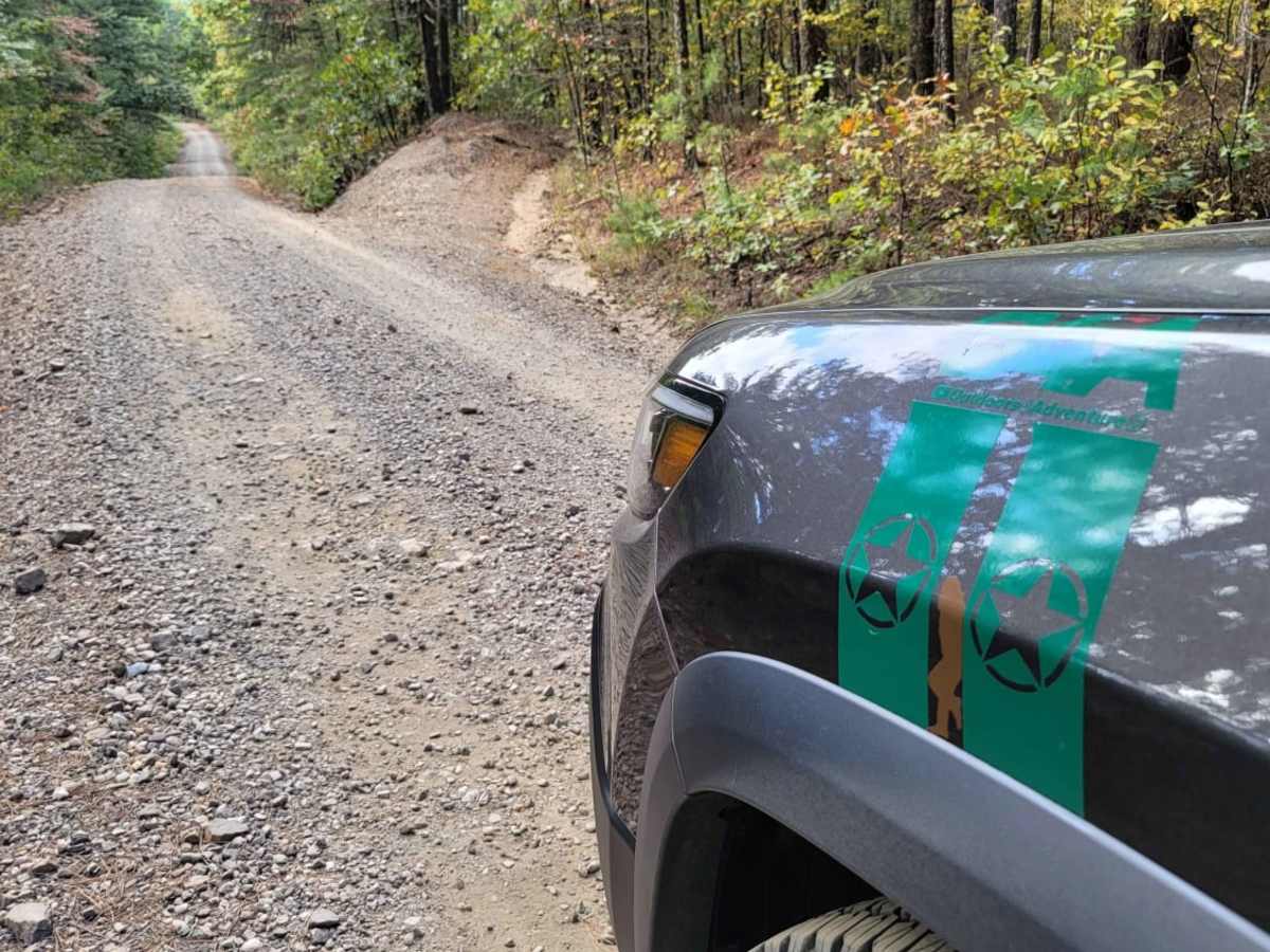
While the route does not feature demanding technical obstacles, travelers should expect varying road conditions including loose gravel, occasional muddy patches, and wet sections after rainfall. Portions of the trail narrow down to a single lane where passing can be difficult, requiring drivers to keep an eye out for wider pullout spots. The journey provides convenient access to numerous recreational activities, including camping, swimming, and fishing at Lake Sylvia, as well as hiking opportunities along the renowned Ouachita National Recreation Trail. Whether utilizing the area as a base camp or enjoying a point-to-point scenic drive, this trail delivers a quintessential Arkansas forest experience.
Difficulty
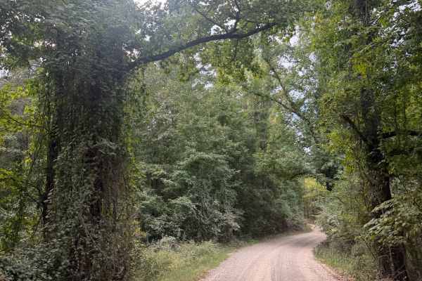
Some inclines and rough road but nothing technical. All gravel roads vary in type. Can be loose, wet, muddy and single lane areas make passing difficult. Remember where the wide spots are.
History
Nestled in the northeast corner of the Ouachita National Forest, the Lake Sylvia Recreation Area centers around an 18-acre lake constructed in the 1930s by the Civilian Conservation Corps (CCC). Originally built as a camp and recreational retreat, it remains a beloved destination for outdoor recreation, offering access to the 223-mile Ouachita National Recreation Trail, which draws hikers and backpackers from across the country.
Access Description
The Lake Sylvia Recreation Area charges overnight fees for campsites, which are available on a first-come, first-served basis via a self-pay station (cash only). Electric and water campsites are $25 per night, primitive tent sites are $15 per night, and group tent camping sites are $35 per night. Camper cabins are also available for reservation. There are no permits required to drive the forest roads, but standard Ouachita National Forest regulations apply.