Trail Overview
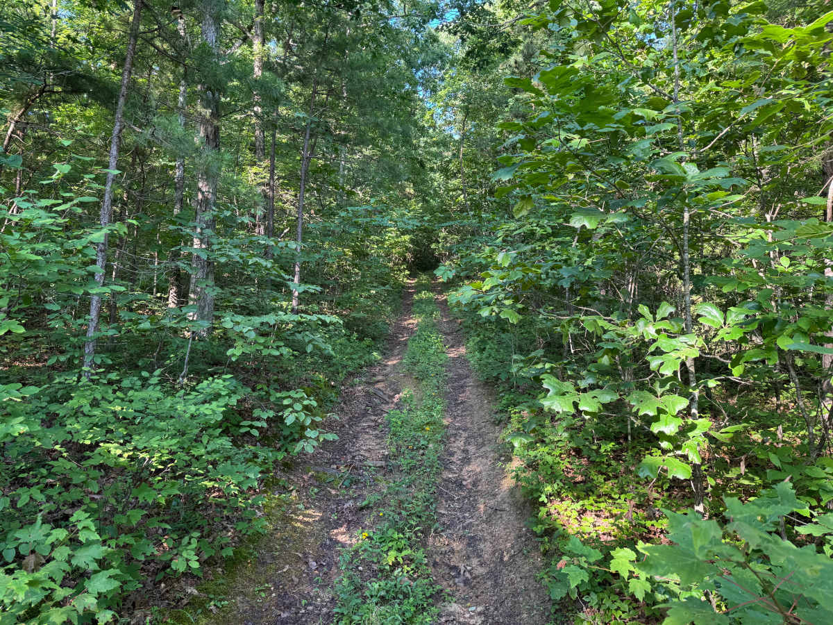
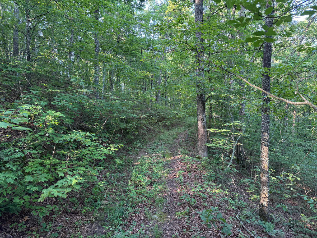
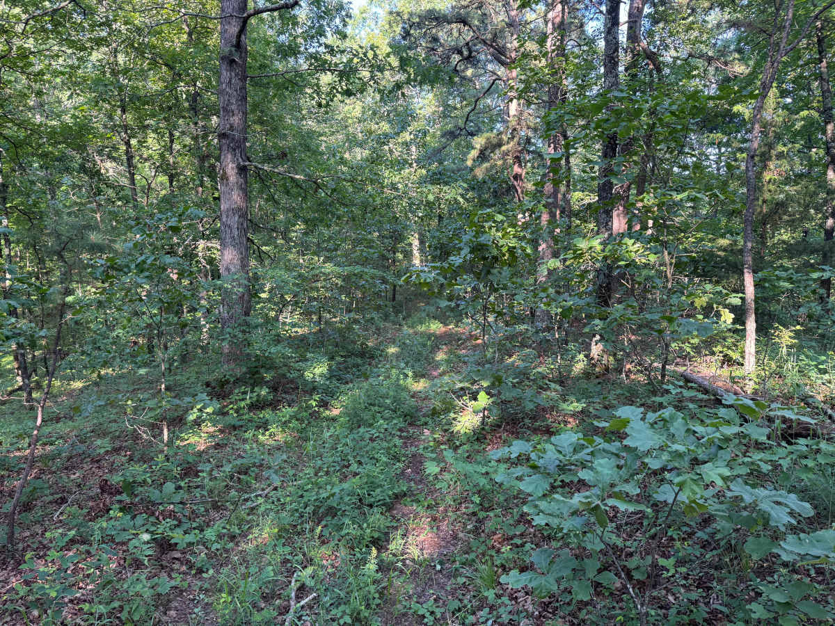
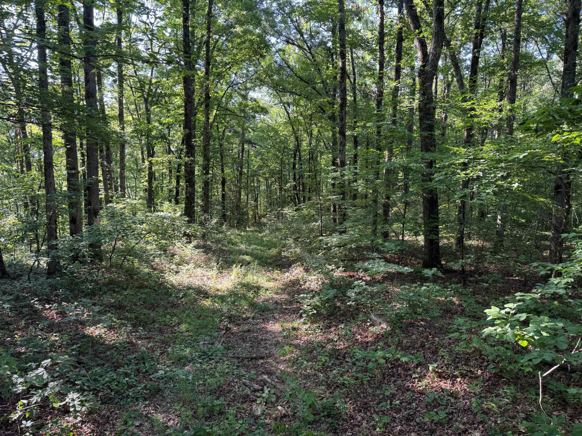
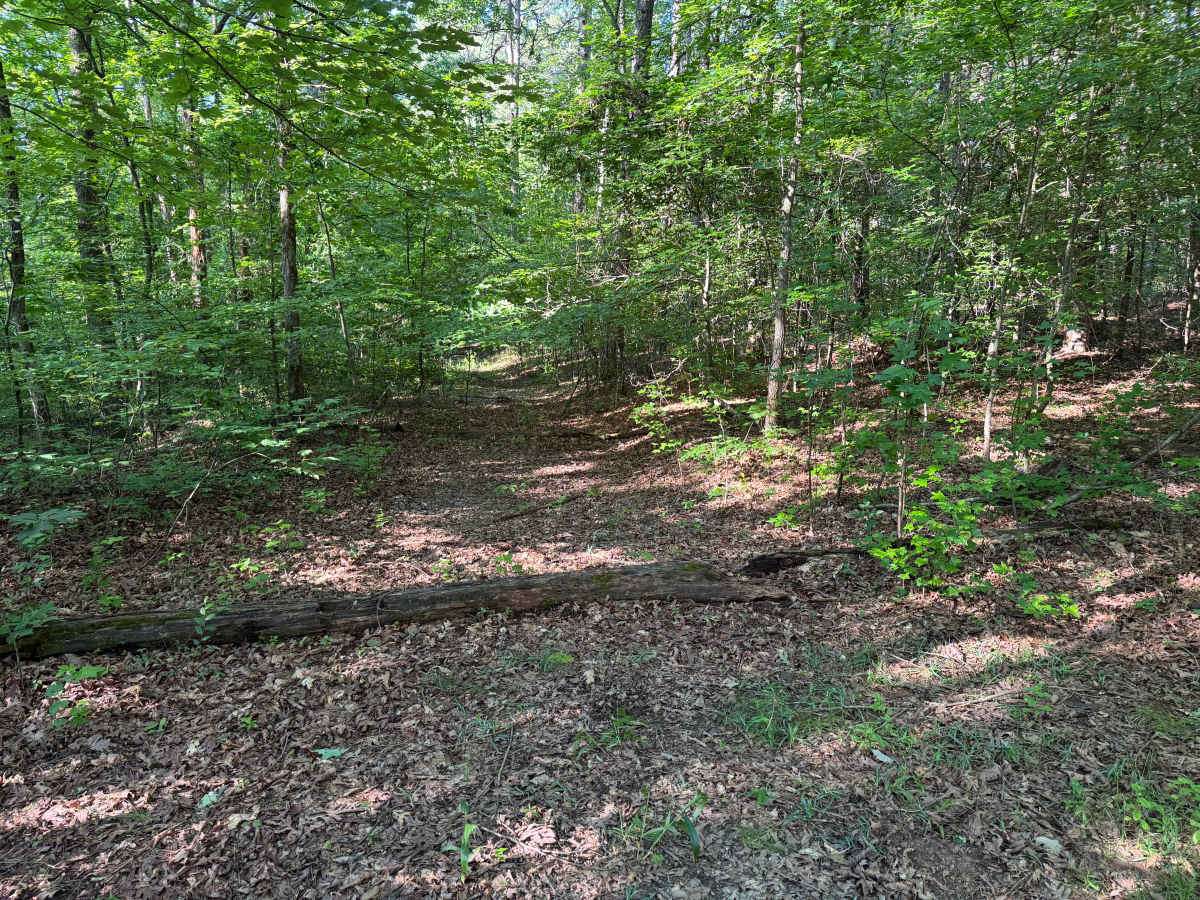
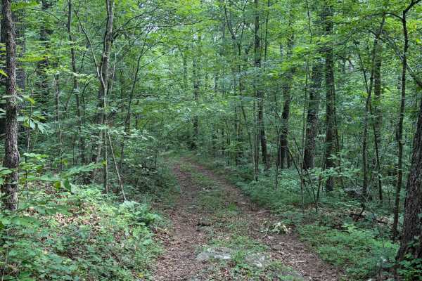
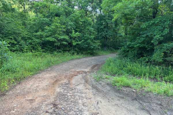
This out-and-back route follows a narrow, single-vehicle trail through a dense section of the Ozark National Forest. The forest canopy provides plenty of shade while thick brush, young saplings, and mature hardwoods crowd both sides of the trail, making pinstriping and paint scratches almost unavoidable. The trail surface consists of dirt with shallow ruts, whoops, and small bumps created by water erosion, but there are no significant technical obstacles. Fallen trees are the primary hazard and may require turning around if they have not been cleared. The trail gradually narrows as vegetation closes in, giving it a secluded feel before ending in a small opening that provides the best location to safely turn around and retrace your route.
Difficulty
The primary challenge comes from the lack of passing opportunities, frequent pinstriping from brush, and the possibility of encountering downed trees that may block the route. Shallow ruts, whoops, and minor erosion are present but are not likely to challenge a high-clearance 4WD vehicle in dry conditions. Recent rainfall may make the trail slick and increase the difficulty slightly.
History
The Ozark National Forest was established in 1908 and today forms part of the Ozark-St. Francis National Forests, protecting more than one million acres across northern Arkansas. Many of the Forest Service roads traveled today began as logging, fire access, or resource management roads before becoming part of the modern recreation network. Forest management continues to play an important role in maintaining healthy ecosystems through timber management, prescribed fire, wildlife habitat restoration, and watershed protection. The rugged Boston Mountains and surrounding Ozark Highlands remain one of the oldest and most geologically significant mountain regions in North America, offering visitors a unique combination of natural beauty and rich forest history.