Trail Overview
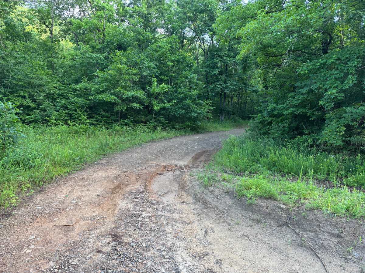
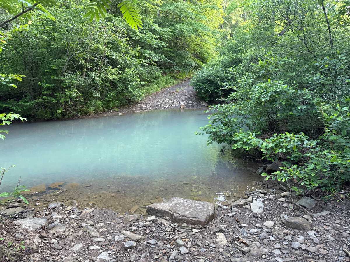
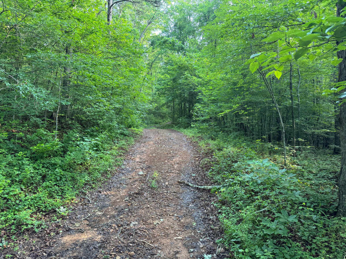
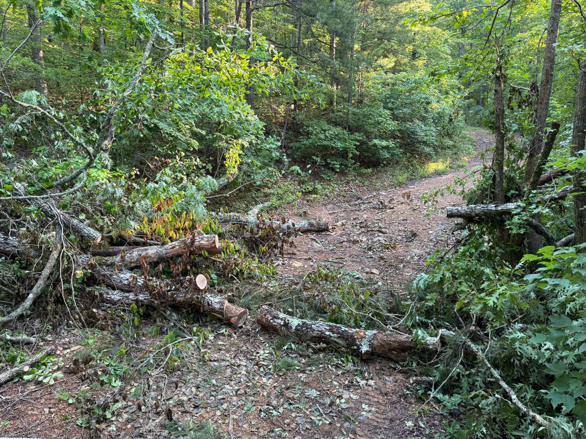
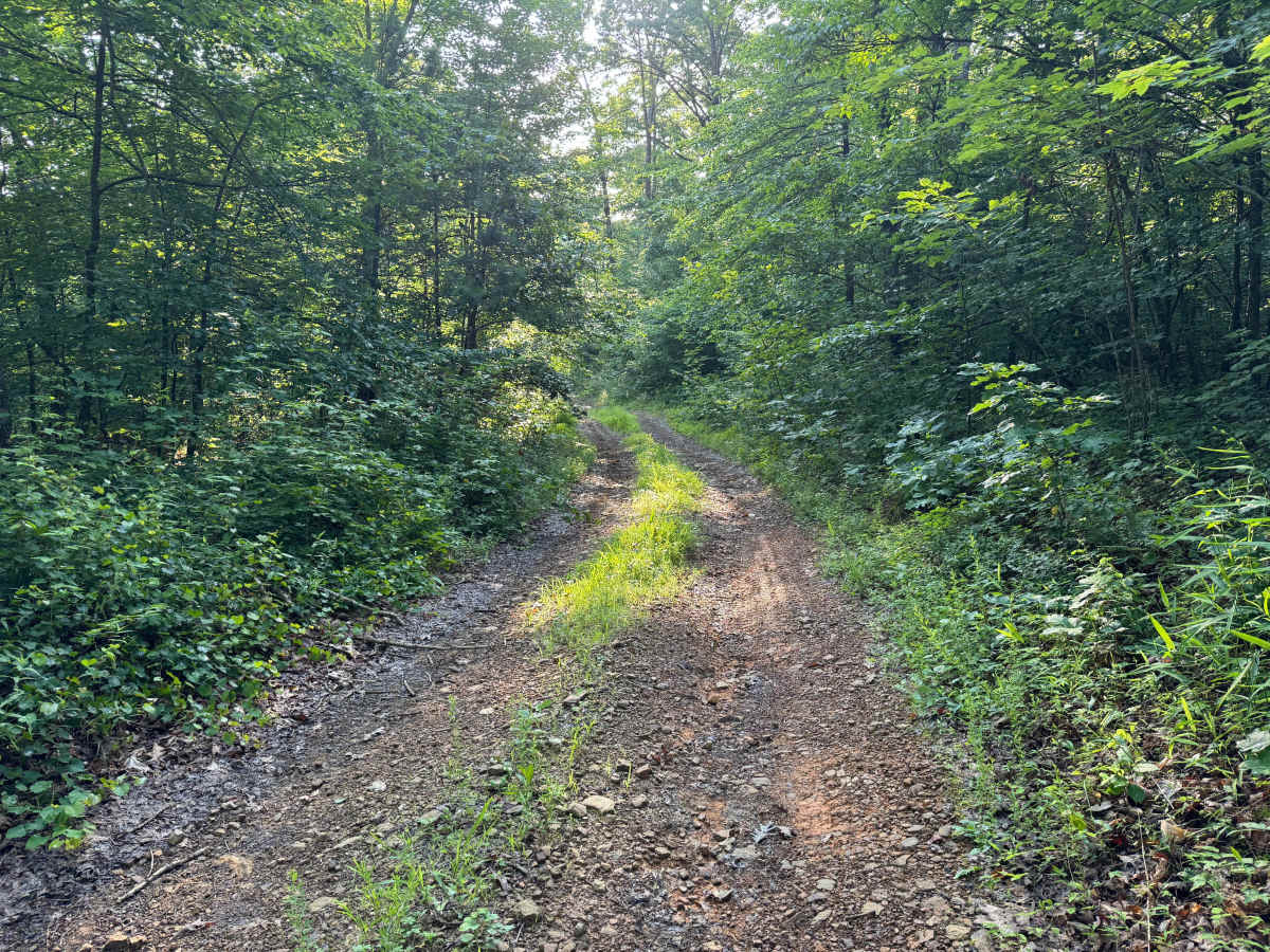
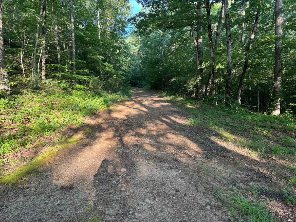
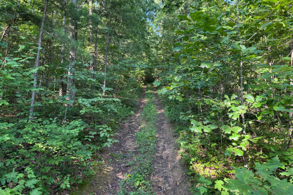
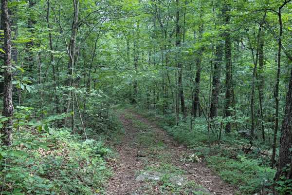
This out-and-back route branches off from Road 5560 and quickly narrows into a secluded one-vehicle-wide trail through the hardwood forest. The drive begins with a crossing of the scenic Mulberry River, where the striking blue-green water and rocky banks create one of the highlights of the route. Water depth can change significantly after rainfall, so always evaluate conditions before attempting the crossing. Beyond the river, the trail climbs gradually through dense forest on a rocky dirt surface with scattered gravel, passing beneath a thick canopy that provides shade for most of the drive. Expect shallow puddles, water bars, small ruts, whoops, and minor erosion along the route, though most puddles have a firm base. Overgrown brush and low-hanging branches narrow the trail in several places, making light pinstriping likely on full-size vehicles. Fallen trees may occasionally block the trail after storms, as shown in the provided photos, requiring riders to turn around if they have not yet been cleared. Wildlife is common throughout the area, so remain alert around blind corners and wooded sections. With limited pull-offs available, meeting another vehicle may require backing up to a wider section of trail.
Difficulty
The river crossing is the primary obstacle and should always be evaluated before crossing, especially after rainfall when water levels can rise quickly. Beyond the crossing, expect a narrow one-vehicle-wide trail with shallow puddles, small ruts, whoops, minor hill climbs, and areas of brush that may cause pinstriping. Downed trees can occasionally block the route, and there are limited places to pass oncoming vehicles.
History
The Ozark National Forest was established in 1908 and today forms part of the Ozark-St. Francis National Forests protect more than one million acres across northern Arkansas. Many of the Forest Service roads traveled today began as logging, fire access, or resource management roads before becoming part of the modern recreation network. Forest management continues to play an important role in maintaining healthy ecosystems through timber management, prescribed fire, wildlife habitat restoration, and watershed protection. The rugged Boston Mountains and surrounding Ozark Highlands remain one of the oldest and most geologically significant mountain regions in North America, offering visitors a unique combination of natural beauty and rich forest history.