Trail Overview
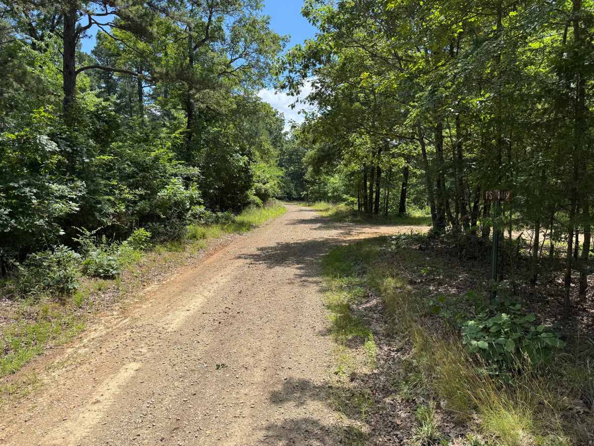
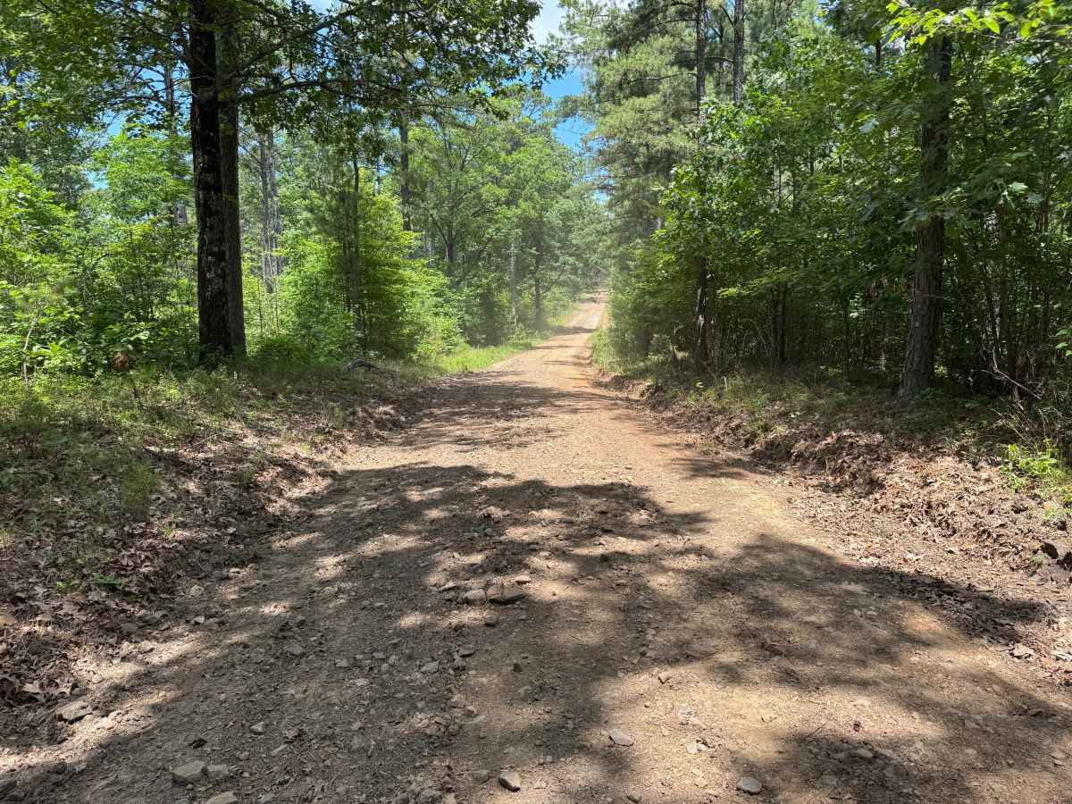
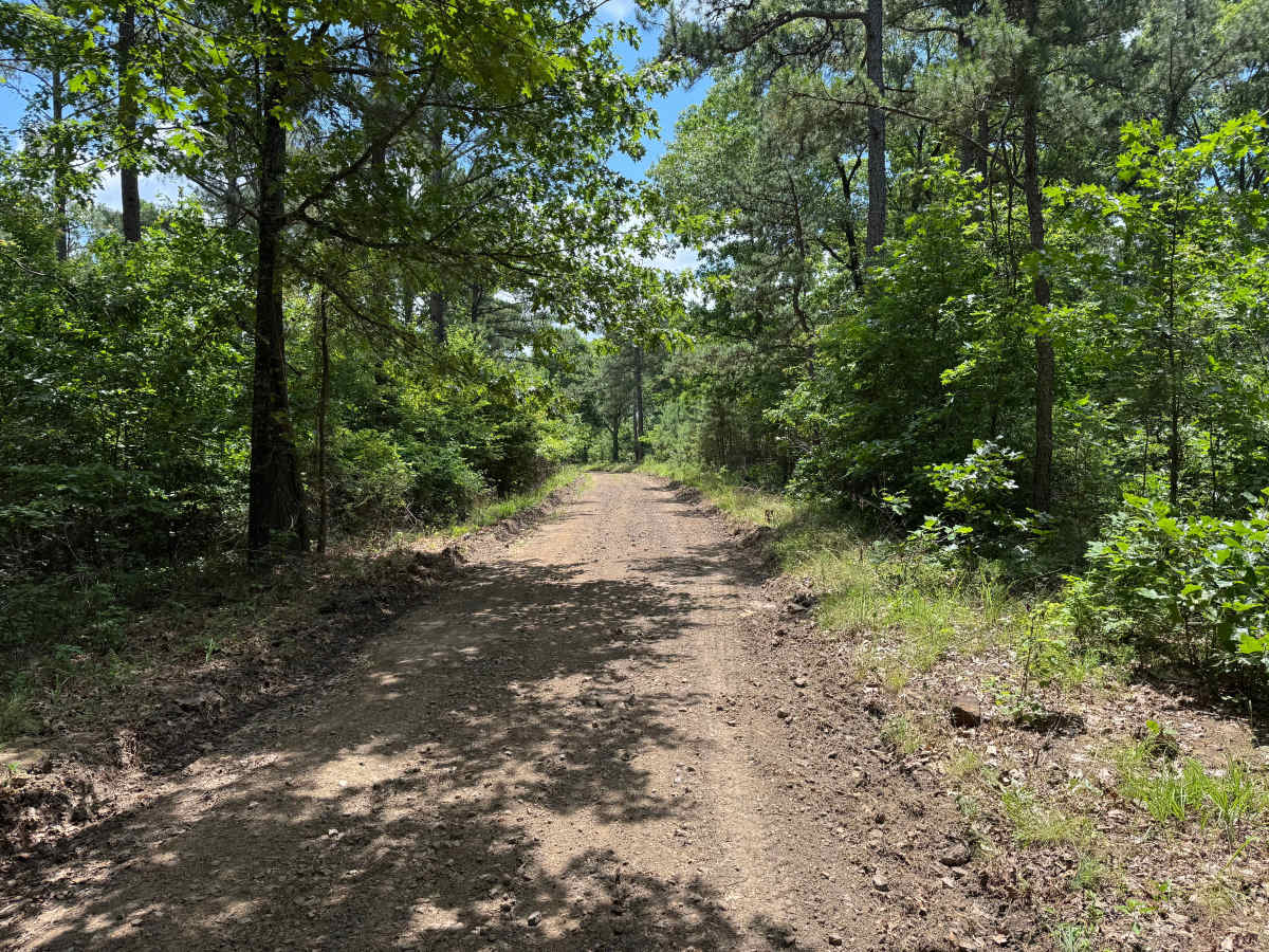
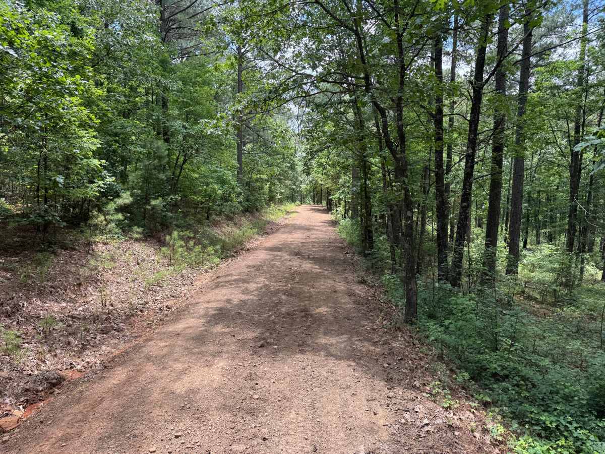
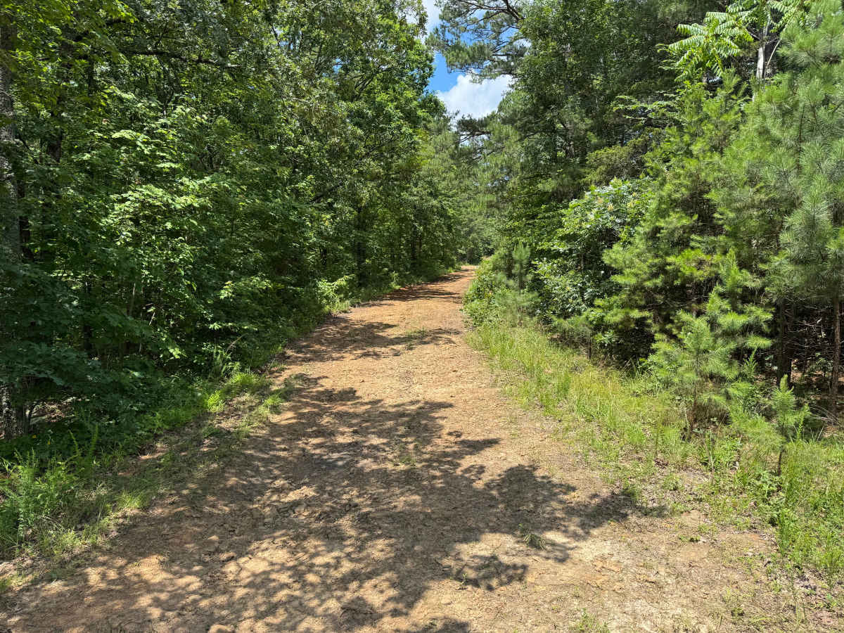
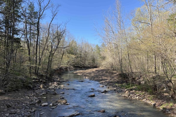
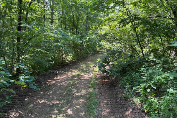
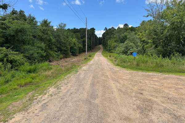
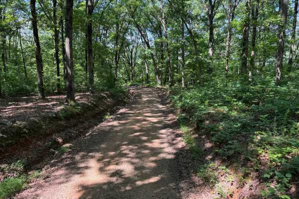
This out-and-back route follows a well-maintained Forest Service road through a scenic mix of mature hardwoods and towering pine trees before ending at a small turnaround area. The trail is wide enough for a single vehicle, with occasional pull-offs and several dispersed campsites tucked among the trees, making it a great option for a quiet overnight stay. The drive features gentle rolling terrain with long, shaded stretches beneath the forest canopy, interrupted by occasional open sections where sunlight filters through the trees and highlights the surrounding landscape. The road surface is generally smooth but includes the typical characteristics of an unmaintained forest road, including shallow whoops, drainage dips, loose gravel, small embedded rocks, and water erosion along the edges. These features require drivers to slow down in places but do not present significant technical challenges. As with most roads in the Ozark National Forest, fallen trees or large limbs can occasionally block the route following storms, and wildlife such as deer, turkey, and other forest animals are frequently encountered. The trail also provides convenient access to several dispersed camping opportunities for those looking to spend a night in the forest. After your drive, the historic Ozark General Store and Café is located just a short distance away, making it an excellent place to stop for a meal, refreshments, or to experience a piece of local Ozark history. Overall, this route offers a relaxing drive with beautiful forest scenery, easy terrain, and convenient camping opportunities rather than difficult off-road obstacles.
Difficulty
The trail consists of a relatively smooth gravel and dirt surface with gentle elevation changes and no major technical obstacles. Drivers will encounter common forest road conditions, including shallow whoops, drainage dips, loose gravel, small embedded rocks, and minor ruts created by water erosion.
History
The Ozark National Forest was established in 1908 and today forms part of the Ozark-St. Francis National Forests, protecting more than one million acres across northern Arkansas. Many of the Forest Service roads traveled today began as logging, fire access, or resource management roads before becoming part of the modern recreation network. Forest management continues to play an important role in maintaining healthy ecosystems through timber management, prescribed fire, wildlife habitat restoration, and watershed protection. The rugged Boston Mountains and surrounding Ozark Highlands remain one of the oldest and most geologically significant mountain regions in North America, offering visitors a unique combination of natural beauty and rich forest history.