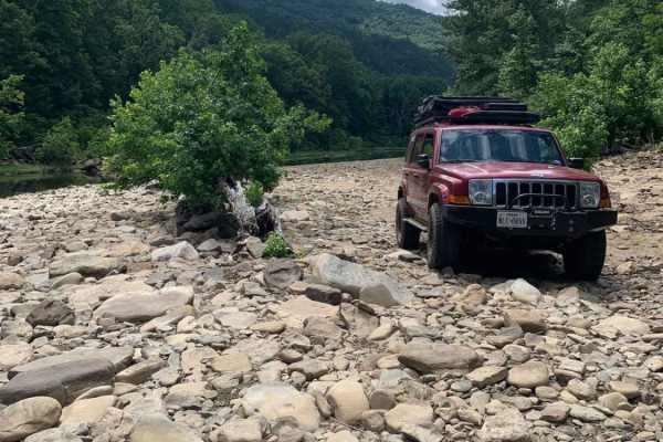
Trail Overview
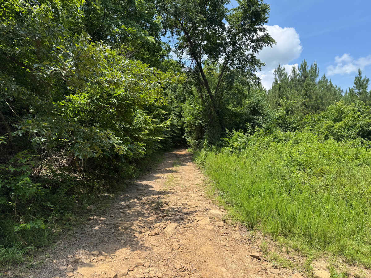
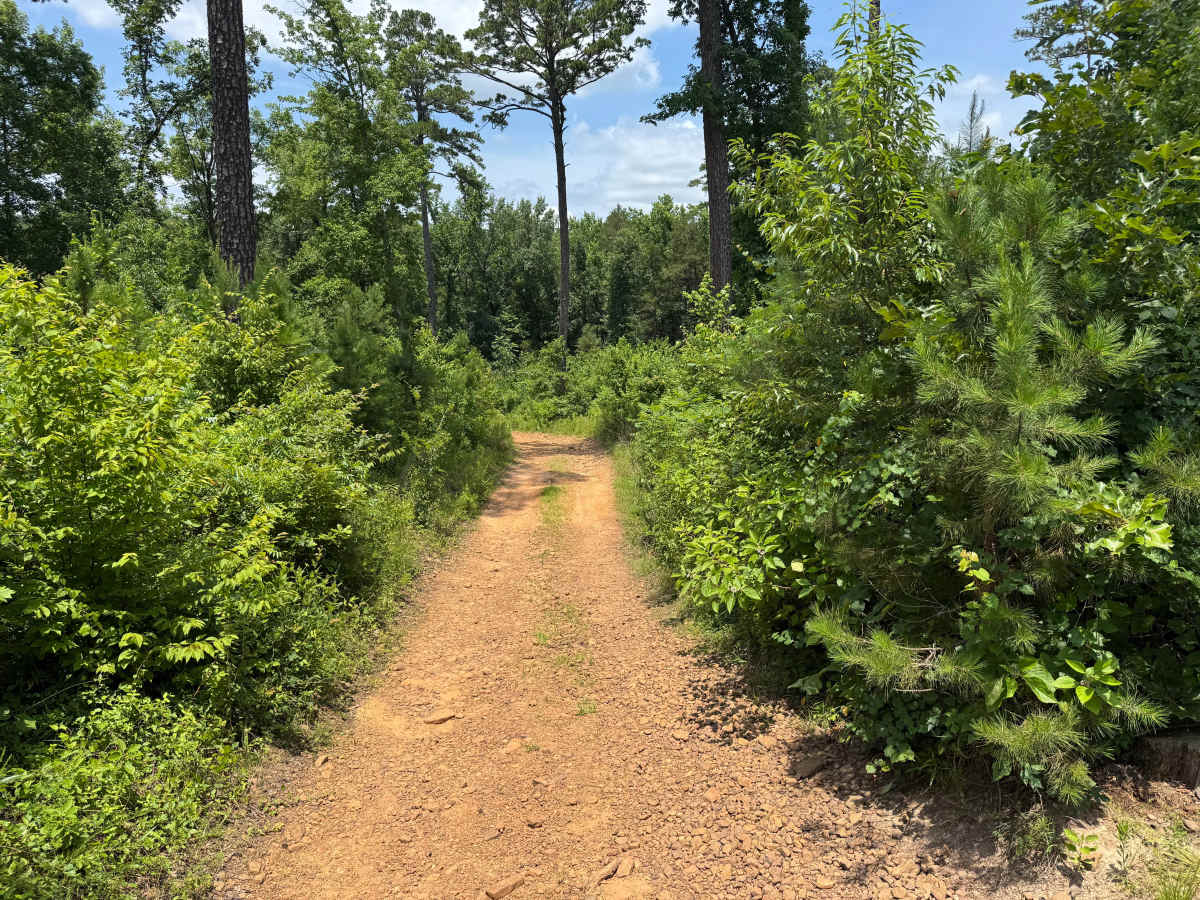
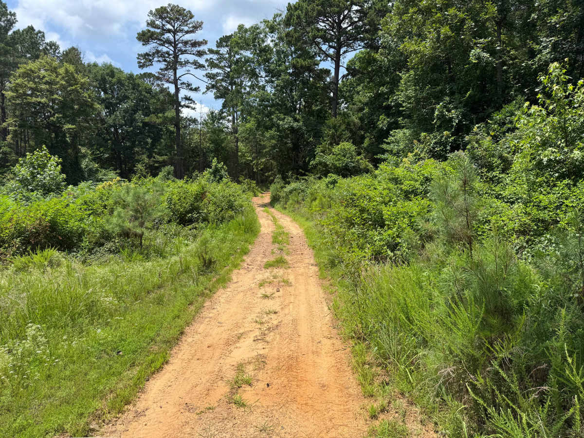
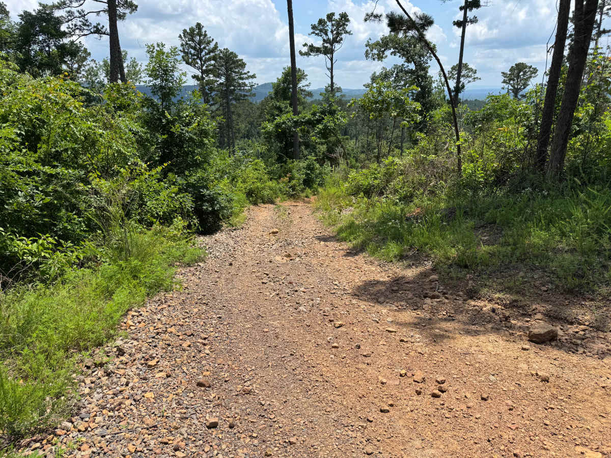
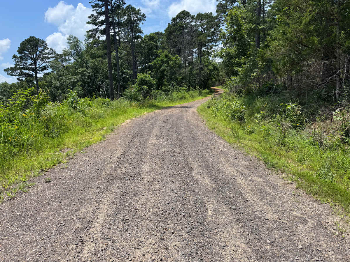
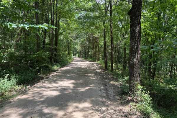
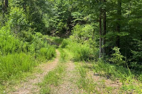
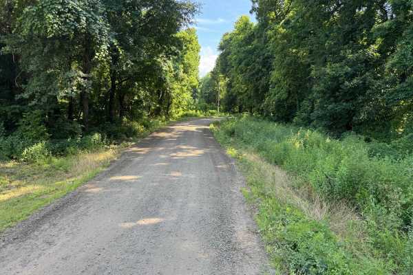
This route branches off Millsap and reconnects with Wayne Scott Bottoms at the opposite end. The route begins on a narrow dirt surface and travels through an area that was actively logged several years ago. Dense brush has grown back along portions of the corridor, making pinstriping and paint scratches very likely for full-size vehicles. The primary obstacle is a moderately steep hill climb that features loose rock, exposed embedded rocks, and several deep whoops. Most stock high-clearance 4x4s with low range and adequate ground clearance can complete the climb in dry conditions, but larger tires are recommended to reduce the chance of dragging the undercarriage. Near the middle of the route is a small creek crossing with a firm bottom that typically presents no concern for water depth. Near the top, the route opens to scenic views overlooking the surrounding Boston Mountains before connecting to Wayne Scott Bottoms.
Difficulty
Loose rock, embedded rocks, a moderately steep hill climb, deep whoops, and a narrow corridor with overgrown brush increase the technical nature of this route. Four-wheel drive with low range is recommended for the climb, while vehicles equipped with approximately 33-inch tires and increased ground clearance will better clear the deeper whoops without underbody contact. The small creek crossing is shallow with a firm bottom and is not a significant obstacle under normal conditions. Careful tire placement and moderate off-road driving experience are recommended, especially on the hill climb.
History
The Ozark National Forest was established in 1908 and today forms part of the Ozark-St. Francis National Forests, protecting more than one million acres across northern Arkansas. Many of the Forest Service roads traveled today began as logging, fire access, or resource management roads before becoming part of the modern recreation network. Forest management continues to play an important role in maintaining healthy ecosystems through timber management, prescribed fire, wildlife habitat restoration, and watershed protection. The rugged Boston Mountains and surrounding Ozark Highlands remain one of the oldest and most geologically significant mountain regions in North America, offering visitors a unique combination of natural beauty and rich forest history.