Trail Overview
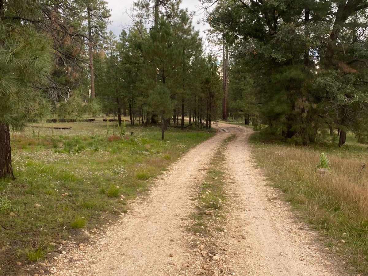
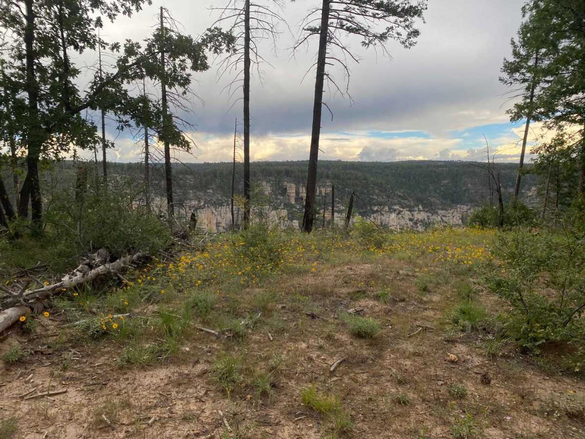
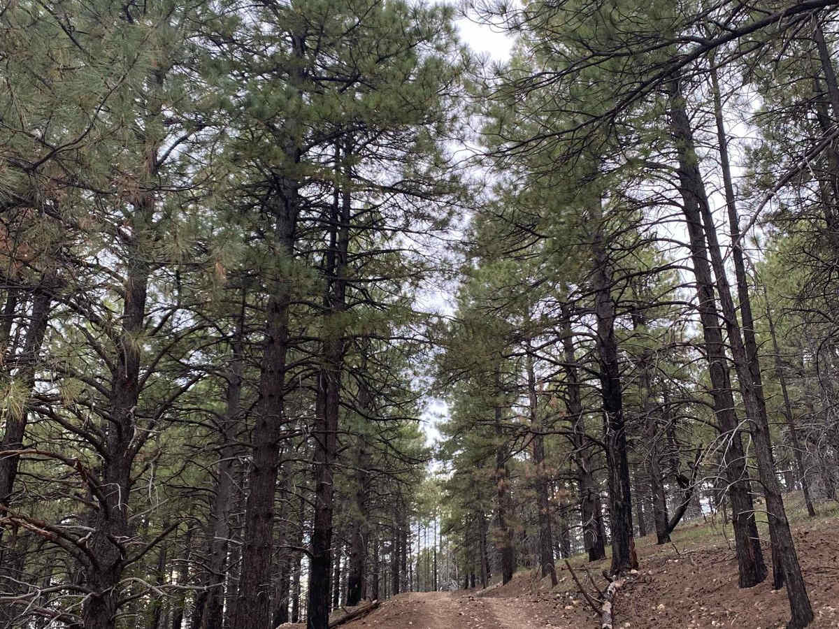
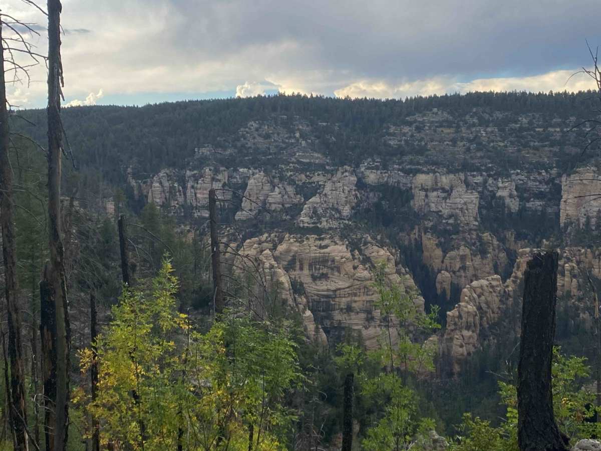
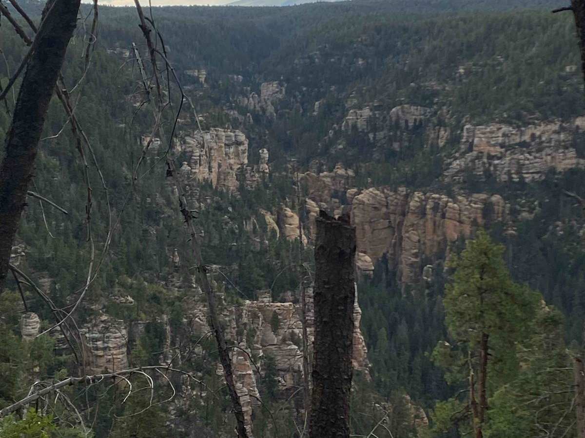
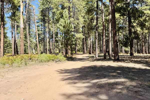
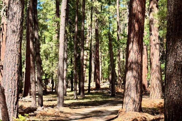
West Buzzard Ridge (Forest Service Road 9015H) is an easy, scenic point-to-point route ideal for beginners and casual explorers looking for stunning viewpoints of Oak Creek Canyon and the distant San Francisco Peaks without facing technical driving obstacles. Located in the Coconino National Forest northwest of Sedona, Arizona, this 1.46-mile single-lane dirt trail winds through a dense canopy of ponderosa pines at an elevation of around 7,000 feet, offering a refreshing escape from the desert heat during the summer months. The route features minimal elevation change, climbing just under 140 feet, and is accessible to most high-clearance vehicles, including four-wheel-drive rigs and SxSs.
While the trail is generally straightforward, drivers should expect occasional mud puddles and sections overgrown with brush that can make the path forward less visible, requiring careful navigation and map checks. The area is rich with wildlife, and travelers often spot elk, mule deer, squirrels, diverse bird species, and occasionally black bears or free-roaming cattle. Mobile service is spotty or nonexistent throughout the ridge, making offline map downloads essential. The trail is not maintained during winter and typically becomes impassable due to snow accumulation.
Difficulty
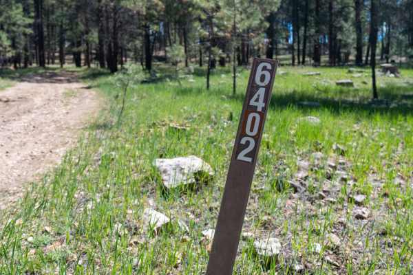
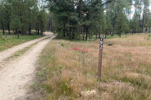
Although it is not maintained regularly, this trail is an easy, single lane dirt route with a couple mud puddles along the way. Recent rain, or forecasted rain, will make the route muddy. Trail is not maintained after snow. Portions of West Buzzard Ridge trail are overgrown with vegetation making the path forward less visible. Be sure to check the map to confirm the correct route.
History
Oak Creek Canyon is a 12-mile-long gorge carved into the edge of the Mogollon Rim along the Oak Creek Fault on the Colorado Plateau. Tectonic shifts and erosion from the year-round flows of Oak Creek created the canyon, which ranges in depth from 800 to 2,000 feet. Early settlers utilized rugged trails to transition between the canyon floor and the 7,200-foot western rim. Today, the western side of the canyon accesses the Red Rock-Secret Mountain Wilderness.

 Offroad