Trail Overview
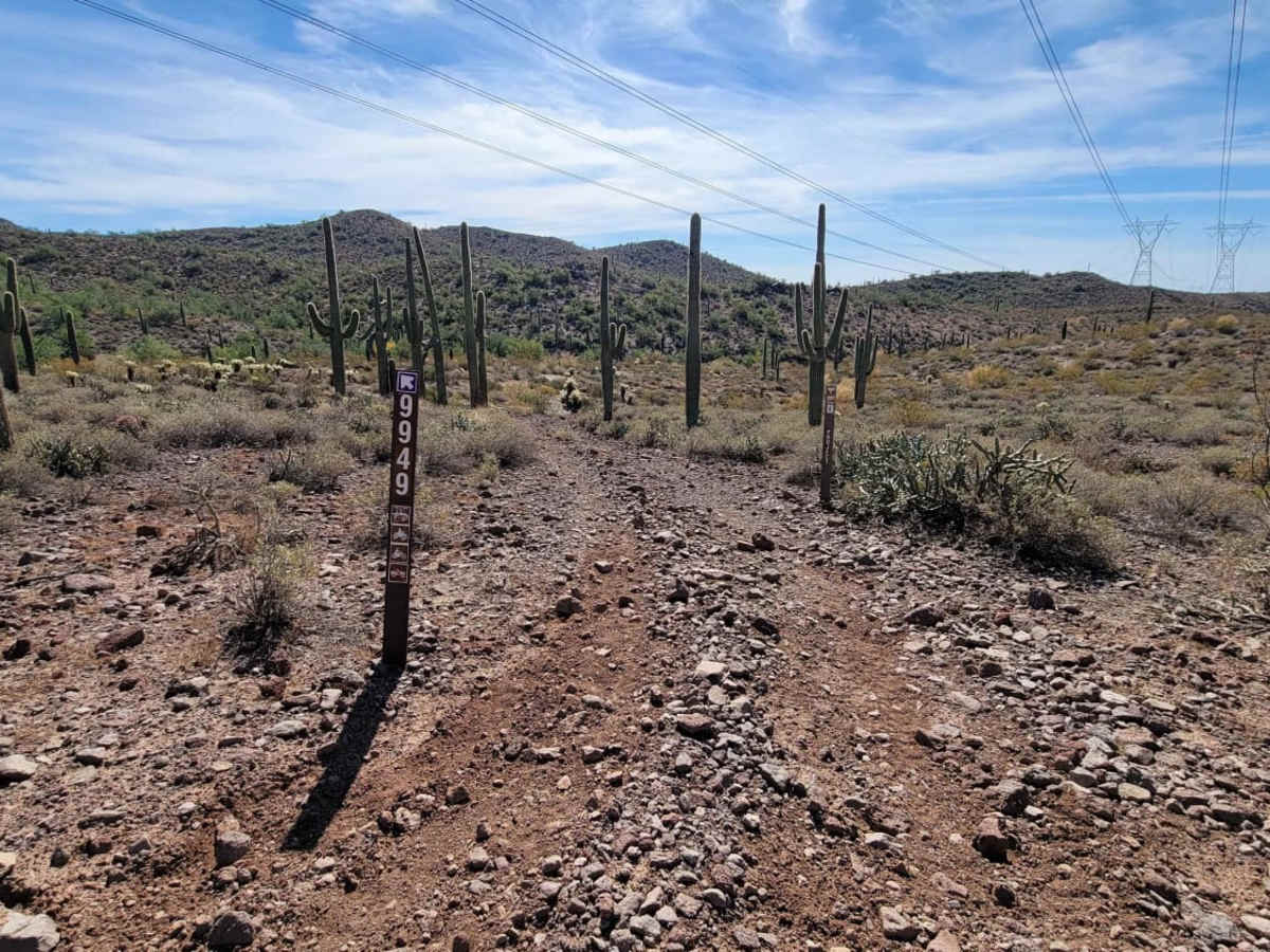
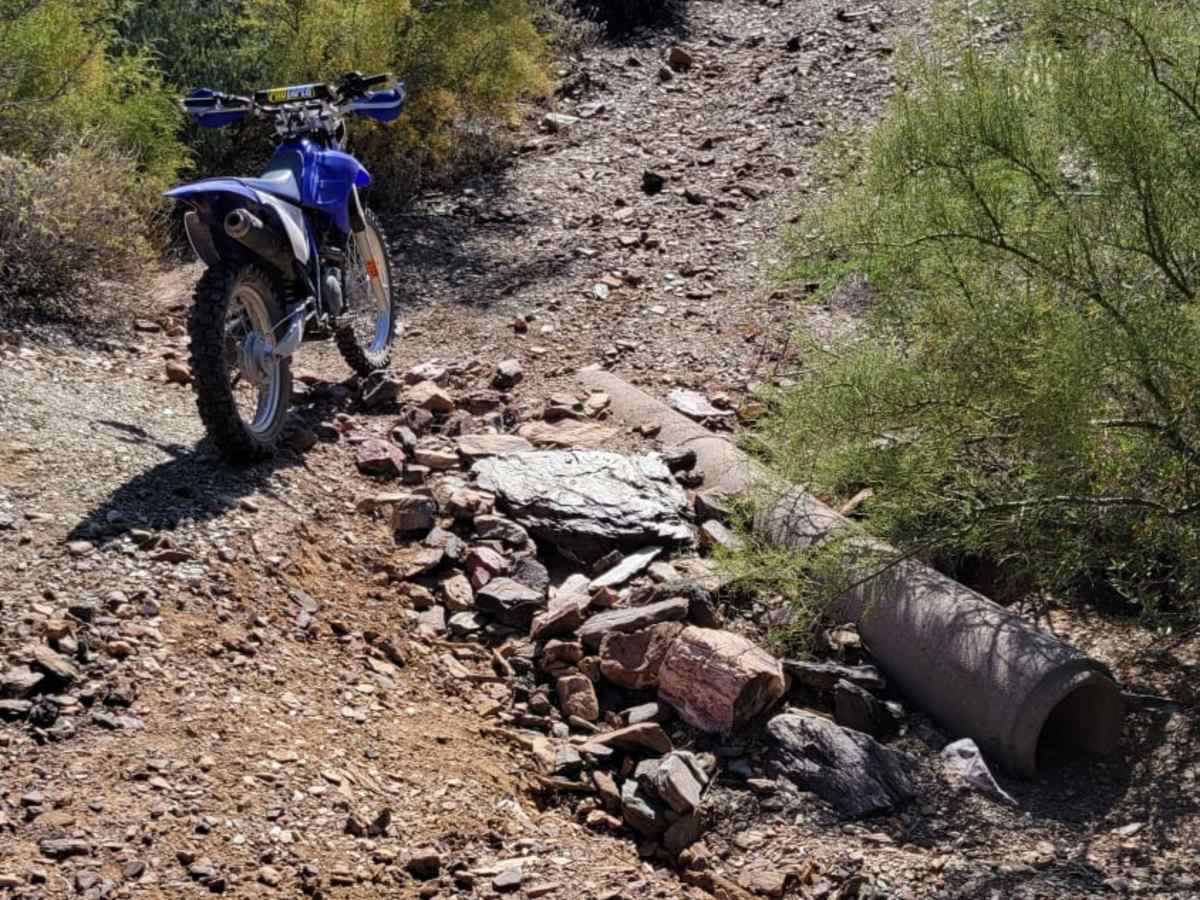
Trail 9949 is a short, narrow off-road connector near Sweat Peak that is ideal for dirt bikes, ATVs, and small utility SxSs looking for a quick, scenic desert route. Spanning roughly 0.8 miles, this trail offers a technical rating of 3 due to its tight clearances and a single steep, loose-rock grade that requires careful throttle control. Because of the trail's restricted width, full-size trucks, SUVs, and standard wide SxSs are not permitted, making it a peaceful escape from heavier vehicle traffic. The route climbs from a minimum elevation of 2,121 feet to a maximum of 2,207 feet, featuring about 77 feet of total climbing and 136 feet of elevation loss.
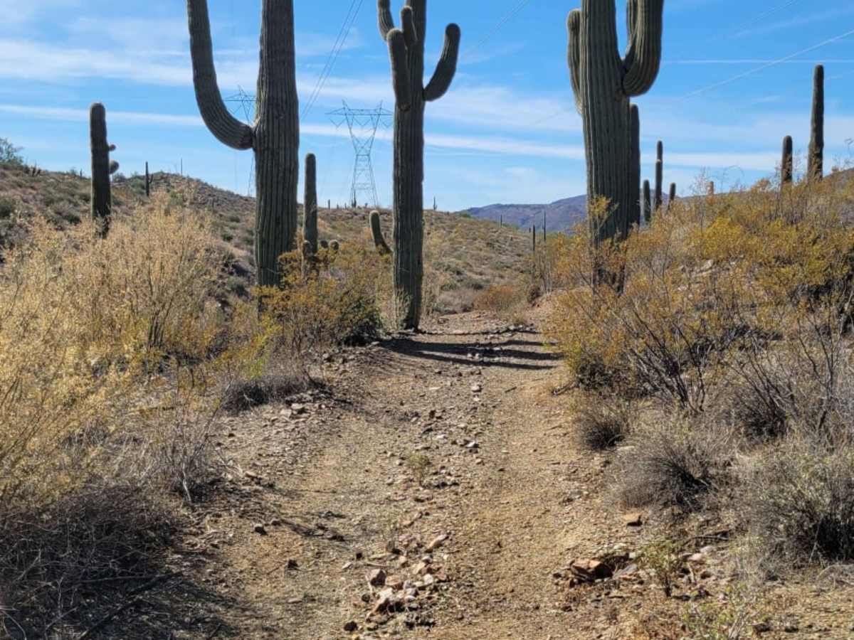
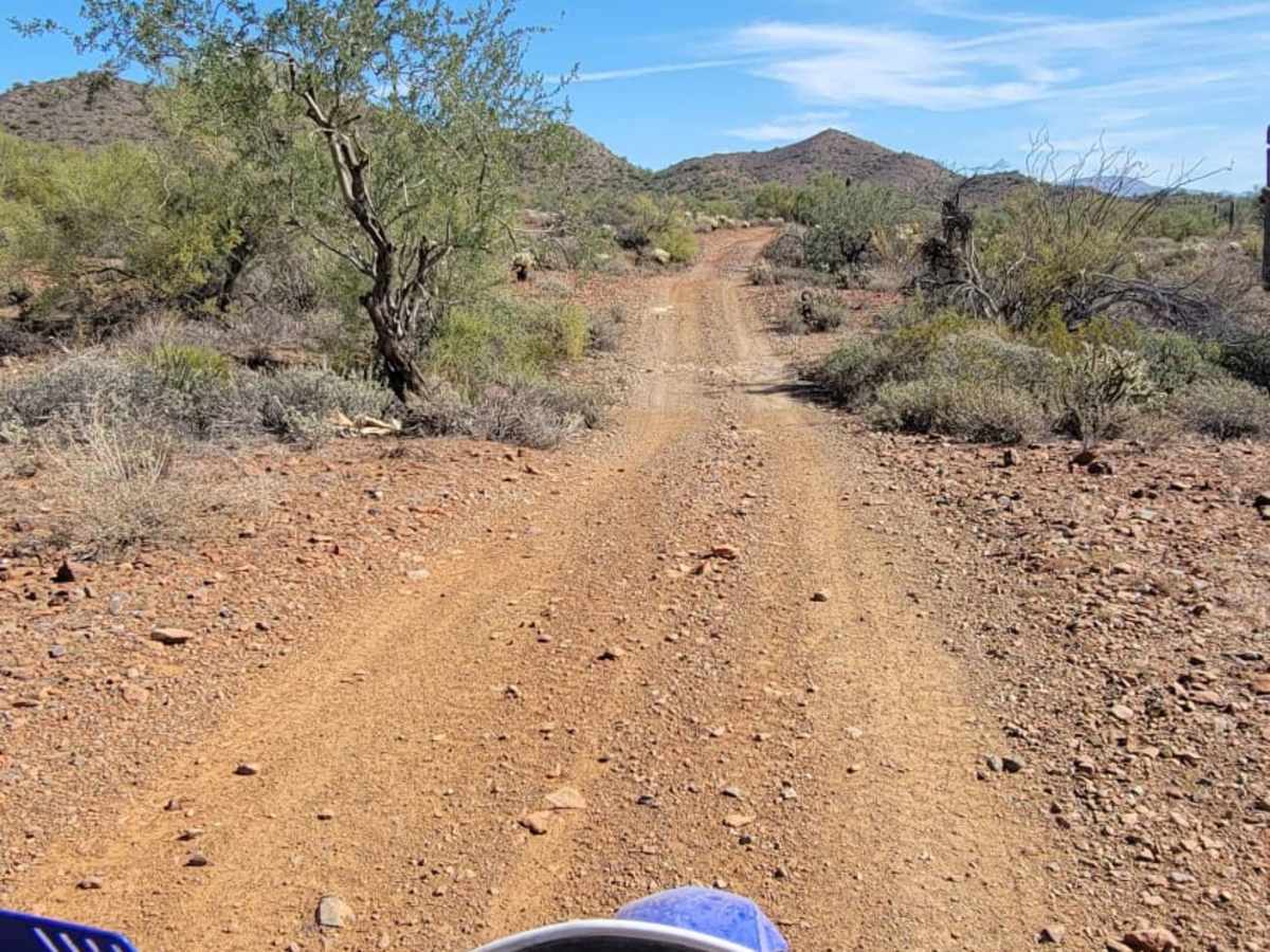
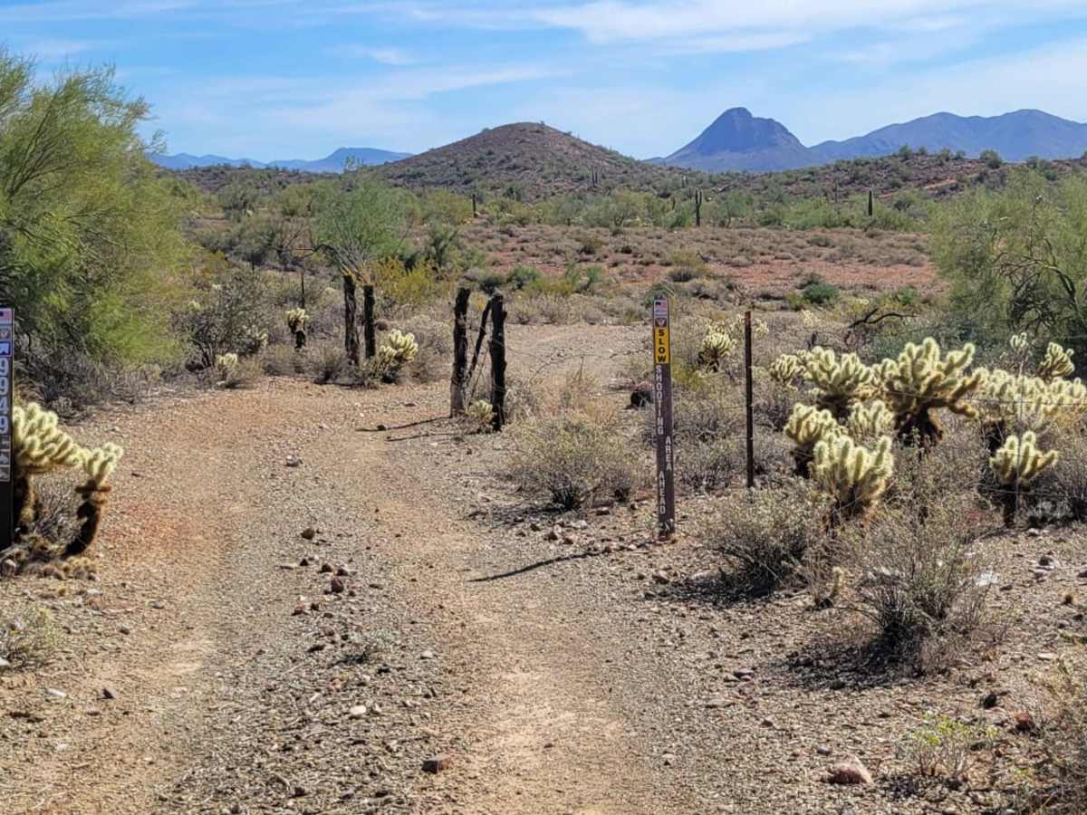
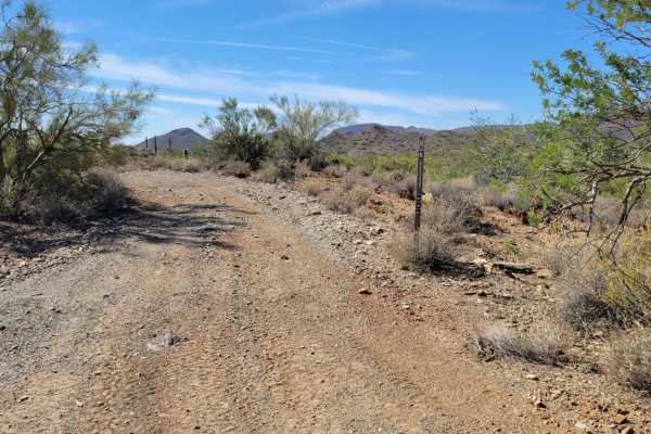
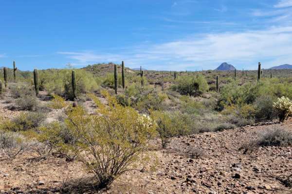
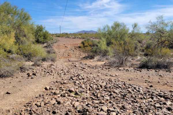
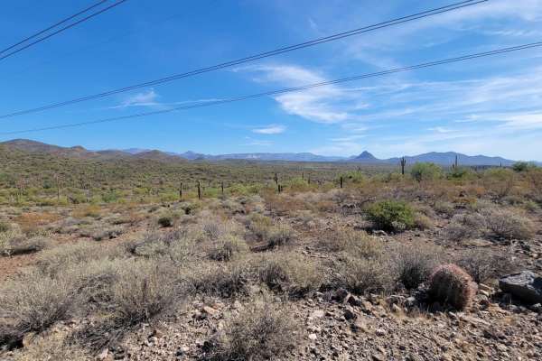
Riders should remain alert for desert vegetation overgrowth, as brush and low branches frequently encroach upon the path and can scratch vehicles or snag gear. The southern terminus of the trail connects with West Gasline Road near the historic Bonnie Bell Mine, an area frequently used for recreational target shooting where extra caution is advised. This route provides a dirt and loose-rock surface that is best suited for high-clearance off-road vehicles equipped with four-wheel-drive, offering a rugged connection through the desert landscape.
Difficulty
This short section of trail is more narrow and therefore is only open to small utility SXS and smaller. No full-size trucks or SXS's. Nothing too technical on this trail, aside from one section with a short steep grade with loose rocks. Vegetation overgrowth is possibly, so just be careful not get poked by the bushes or trees. The southern end of the trail ends/begins at a shooting area, so use caution there.
Access Description
This route is restricted to small utility SxSs, ATVs, and dirt bikes due to narrow trail widths. Full-size vehicles and standard-width SxSs are not permitted. Use caution at the southern trailhead near West Gasline Road due to active target shooting in the area.