Trail Overview
9949 to Black Canyon Trail is a 0.7-mile connector trail for vehicles under 60 inches wide, including dirt bikes, ATVs, and narrow UTVs. The route links West Gasline Road near the Bonnie Bell Mine to the Black Canyon Trail, rising from 2,121 to 2,201 feet over an unpaved dirt surface.
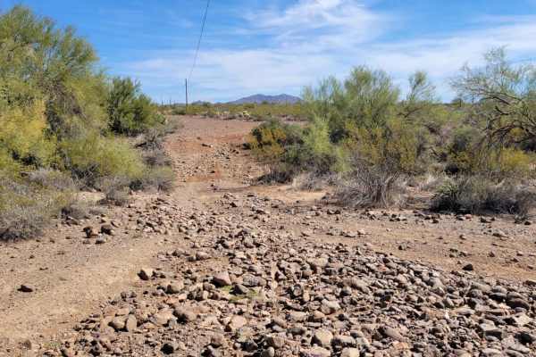
Rated a 4 for technical difficulty, the trail features short, steep grades and a wash crossing prone to flash flooding. The western segment crosses an active dispersed shooting area.
Difficulty
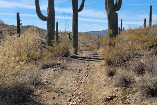
This short section of trail, as well as Black Canyon Trail, are closed to vehicles over 60" wide. The west section is in a shooting area, so use caution when around there. There are a couple of short, steep grades and a small river wash section that could have water in flash flood conditions.
Access Description
This trail and the connecting Black Canyon Trail are strictly closed to vehicles wider than 60 inches. The western portion of the route passes through a designated shooting area, requiring extra situational awareness. Additionally, the trail crosses a river wash that is highly susceptible to flash flooding during heavy rain events.