Trail Overview
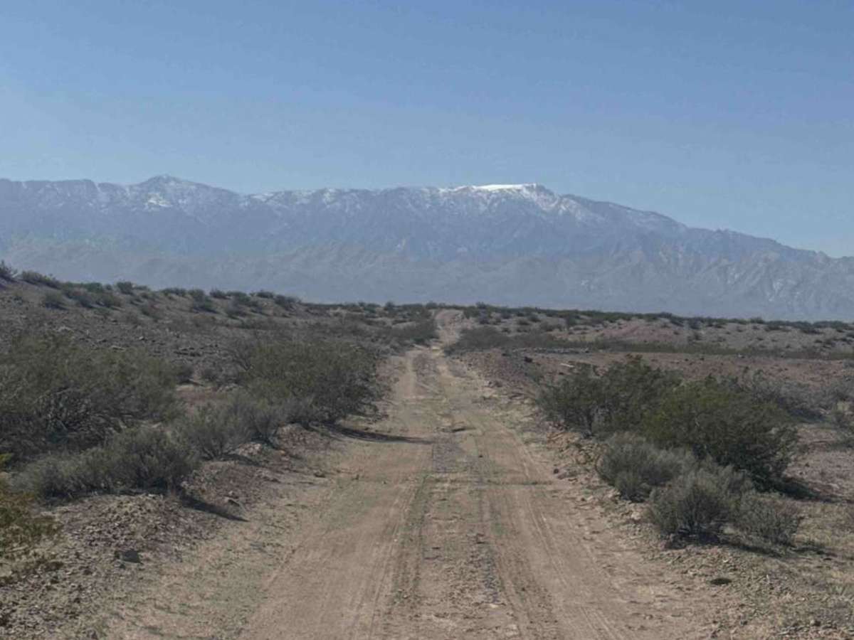
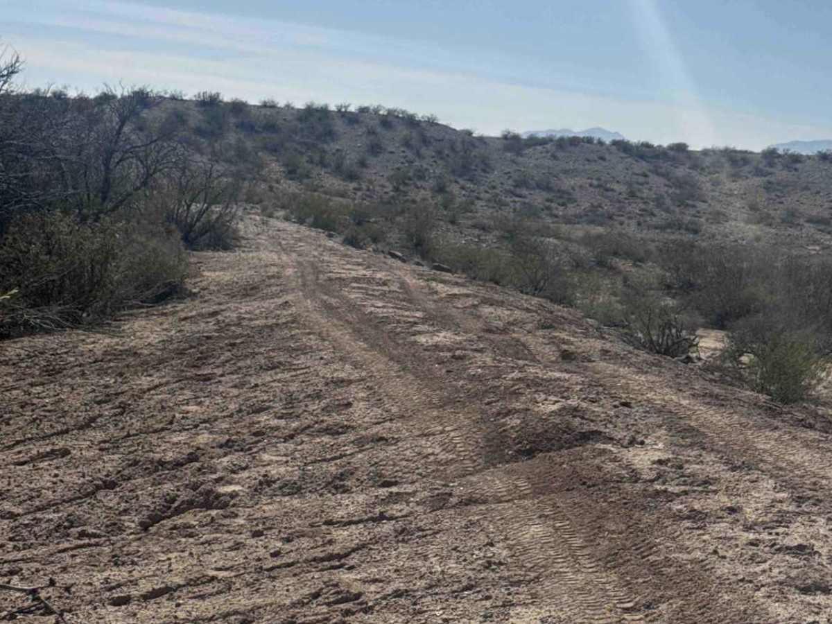
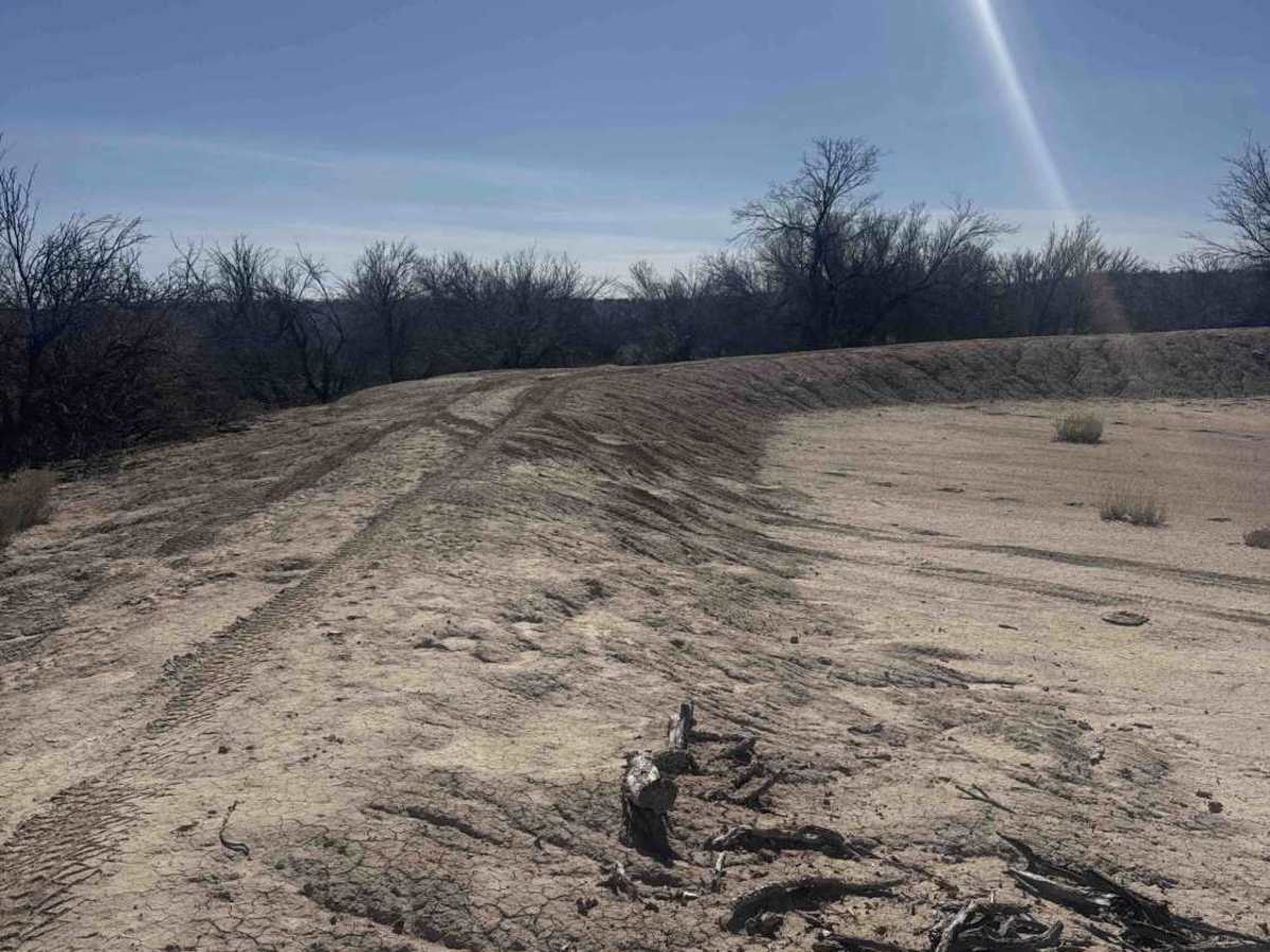
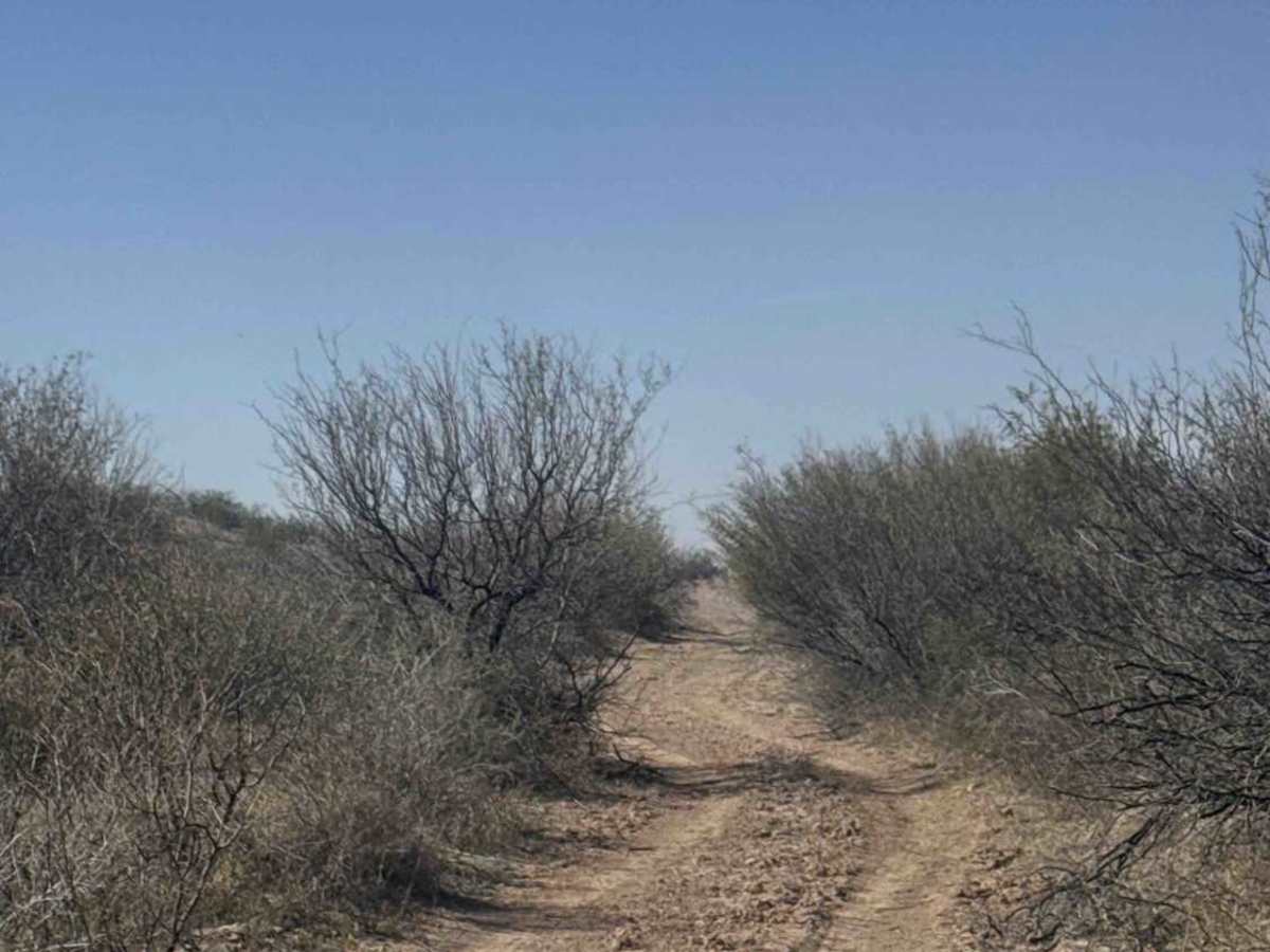
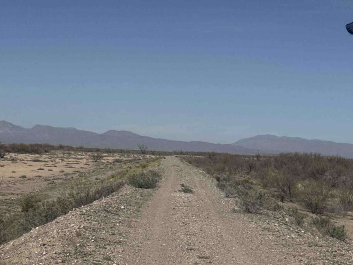
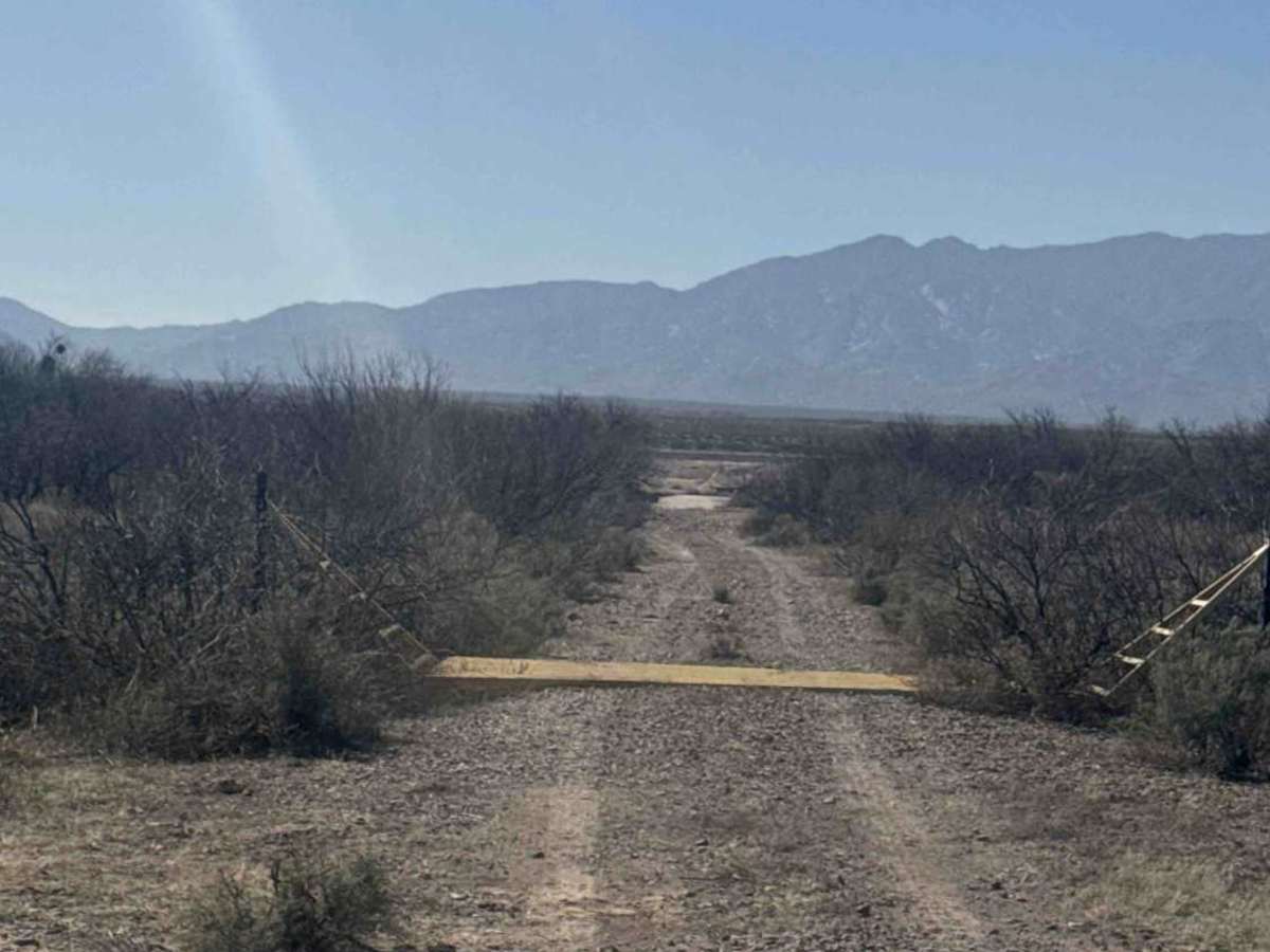
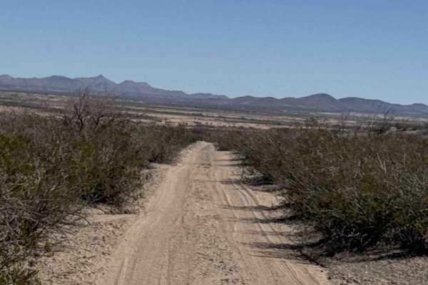
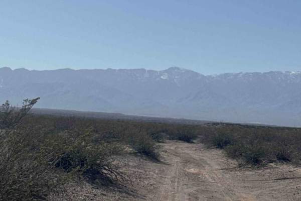
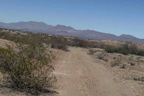
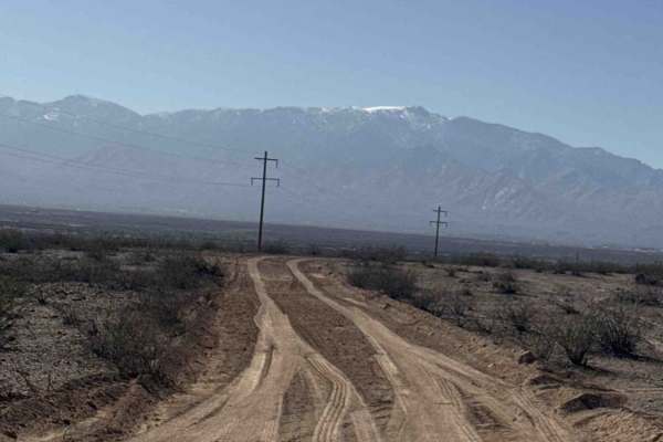
Trail Ss1066 is shown to begin off Haekel Road, but the original entrance appears to be gone. Instead, access via Ss1076a, which is a well-traveled route that becomes Ss1066. There is a section at the Y where this trail begins, if you want to see the reason the start of the trail at the road is gone. If you turn right at the Y, the route quickly dead-ends at a major washout and is completely impassable at the end of the ridge line. It’s narrow in spots, but wide enough to travel. It will curve around and bring you to the new canyon that flooding has created. Impressive to see. Carefully turn around at the bend and head back to the trail junction. When back at the intersection, turn right and cross the desert on this easy gravel road, and you will soon be rewarded with the view at the top of the Goat Well Retention Dam, built in 1940. The original concrete is signed by the original workers, making it a unique historic feature. The structure was built to help control erosion in the area and offers impressive views. After viewing the dam, continue right, cross the levee, and proceed to the gate. Keep the gate closed for cattle. The trail then passes through an overgrown section before reaching a Y. Stay right, as continuing straight will drop off onto the highway. Maps may suggest the trail continues across the highway, but no entrance was found. The trail effectively ends at Haekel Road. Best run in dry conditions, the area around the dam can be prone to flooding in bad weather. Highlight: The Goat Well Retention Dam is the main point of interest and well worth the visit.
History
The Goat Well Detention Dam was constructed in 1940 as part of early federal efforts to control severe erosion in the San Simon Valley region of southeastern Arizona. By the early 1900s, decades of heavy livestock grazing, drought cycles, railroad activity, and intense desert storms had deeply incised many washes in the area, causing significant land degradation. The dam was designed primarily to: Slow and spread floodwater moving through the wash, reduce headcutting and channel downcutting, trap sediment moving downstream, stabilize surrounding rangeland, and encourage vegetation recovery. Unlike a water-storage dam, Goat Well functions as a detention/retention structure, meaning it temporarily holds and slows storm runoff rather than creating a permanent reservoir. The structure represents an important period in Southwestern land management history, when large-scale erosion control became a priority across overgrazed desert watersheds. Many of these mid-20th-century barriers are still functioning today, including Goat Well. It also sits in an active flood pathway, which is why the surrounding area can become hazardous during heavy rain events.