Trail Overview
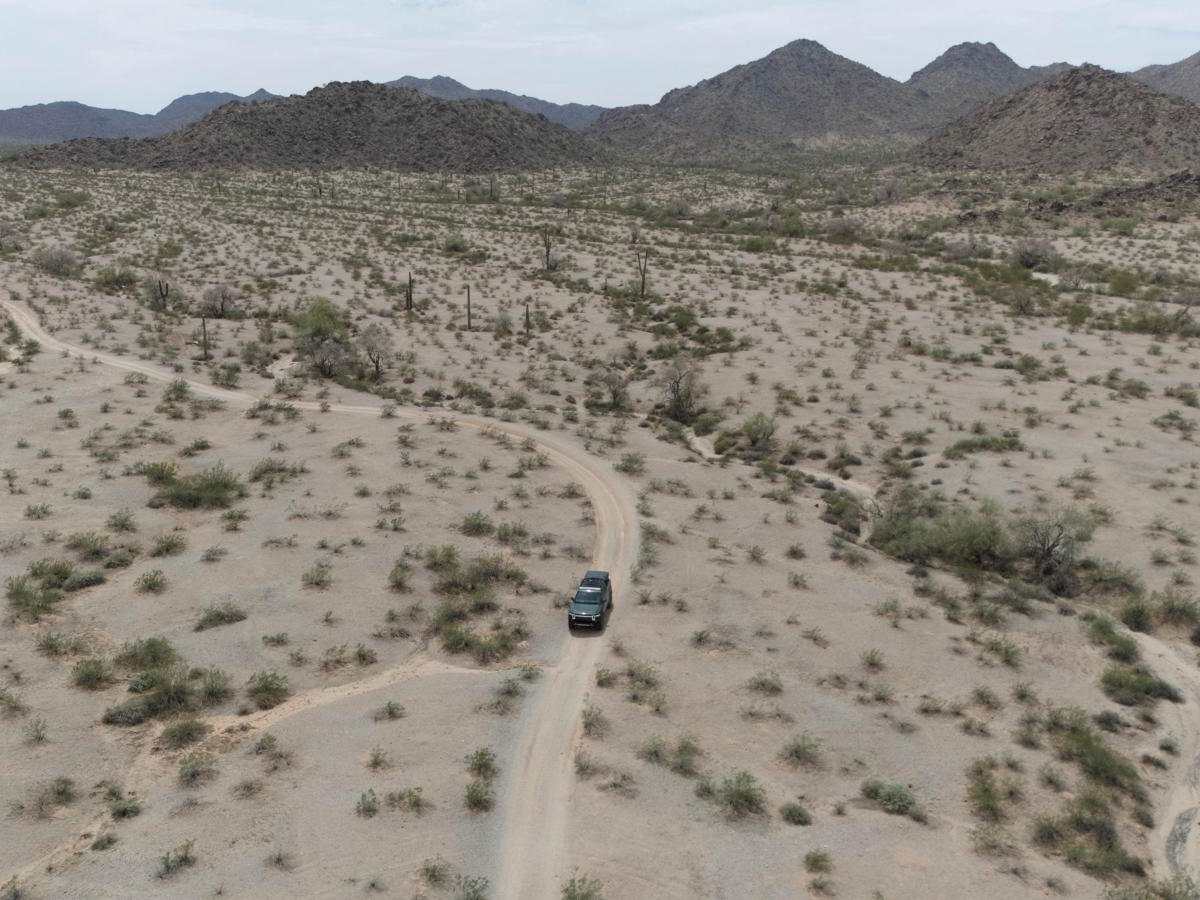
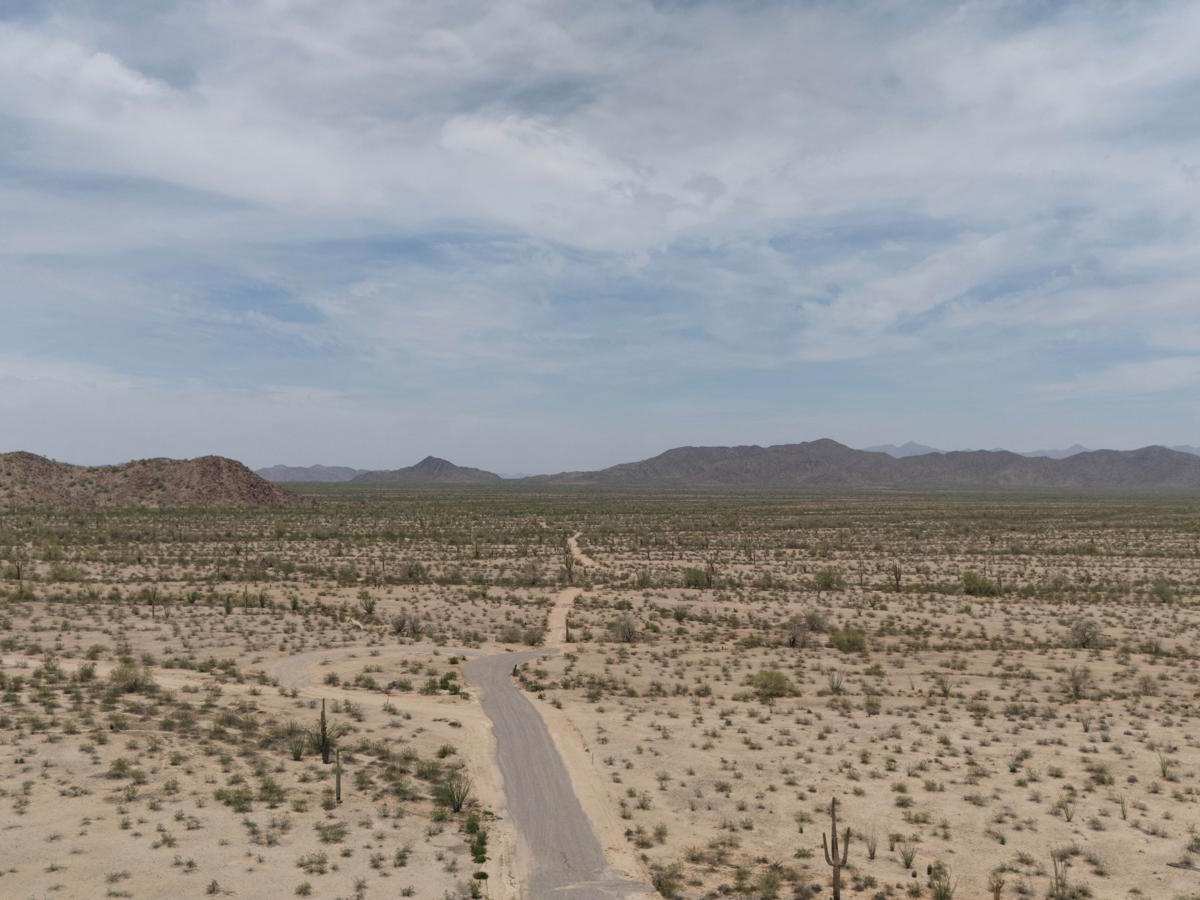
Starts off as a rock smooth road and eventually turns into a dirt road. The track has a few spots of eroded, washed-out washes that cross the trail, so be cautious if traveling at speed. Also, be mindful of soft sand and soft dirt. A few spots get a little narrow with pin stripes likely, but for the most part, the trail is smooth.
History
The Sonoran Desert National Monument, situated in south-central Arizona, was established on January 17, 2001, by Presidential proclamation under the Antiquities Act of 1906. Spanning approximately 496,400 acres, it is managed by the U.S. Bureau of Land Management (BLM) as part of the National Landscape Conservation System. The monument is renowned for its extensive saguaro cactus forests and is the most biologically diverse of North American deserts, containing three distinct mountain ranges: Maricopa, Sand Tank, and Table Top mountains, as well as the Booth and White Hills, separated by wide valleys. It also includes three congressionally designated wilderness areas: North Maricopa Mountains, South Maricopa Mountains, and Table Top Wilderness.While the term "Sonoran Desert National Monument Trail" is not a single, specific trail, it refers to the network of trails within the monument, many of which are historically significant. These include portions of the Juan Bautista de Anza National Historic Trail, the Butterfield Overland Stage Route, the Gila Trail, and the Mormon Battalion Trail. These trails reflect the area's role as a crossroads for early exploration, settlement, trade, and travel, offering a living museum of the region's cultural and historical heritage.