8011 to Papago Indian Chief Mine

Total Miles 17.2
Technical Rating
5 Moderate
Best Time Spring, Fall, Winter
Trail Type High-Clearance 4x4 Trail
Accessible By
Open Trail Map

Trail Overview

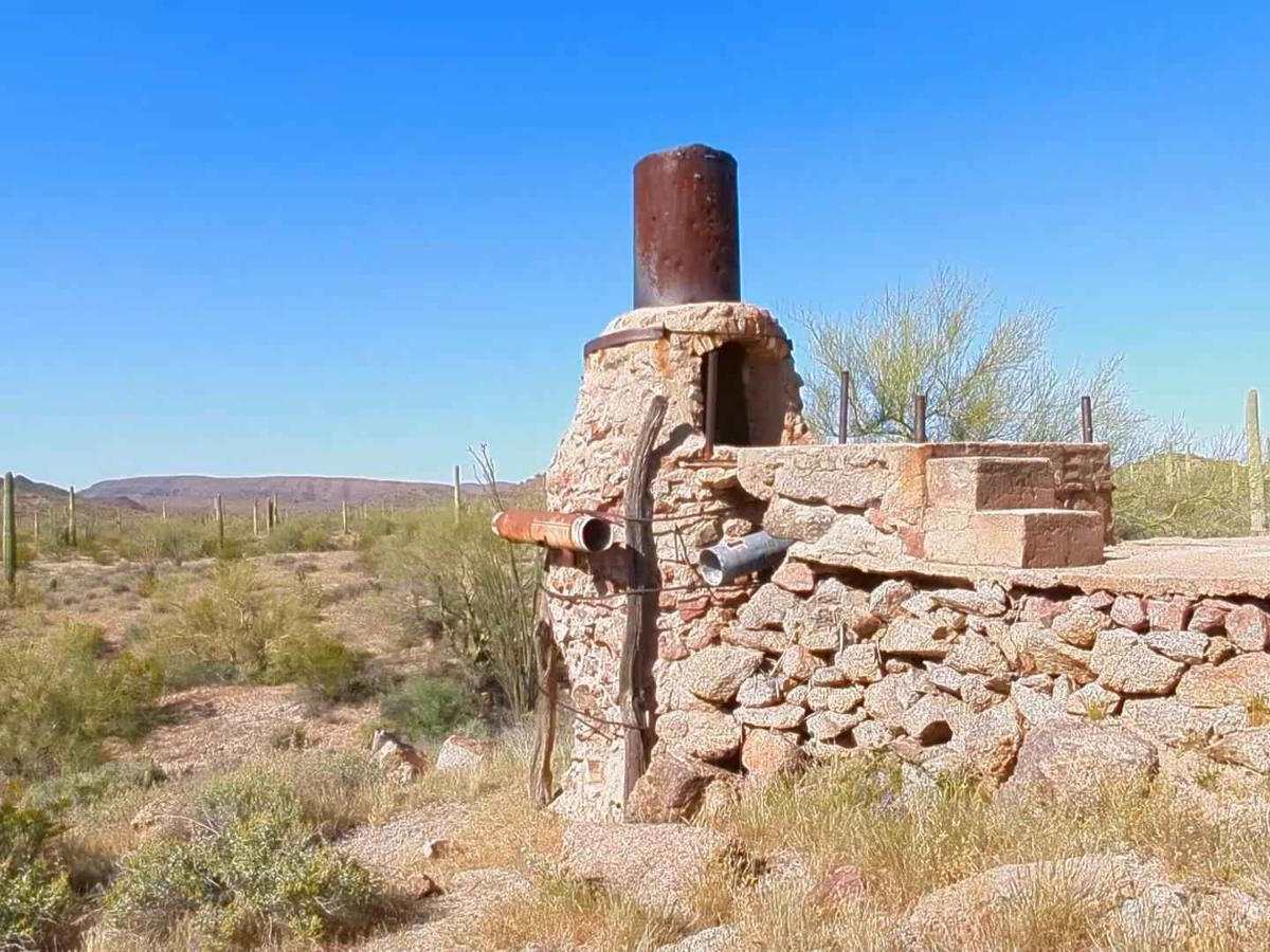
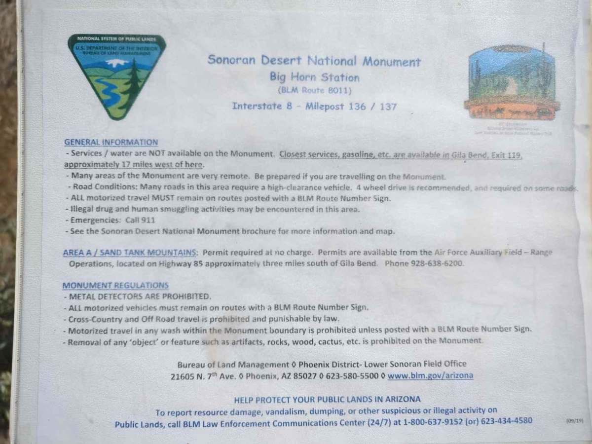
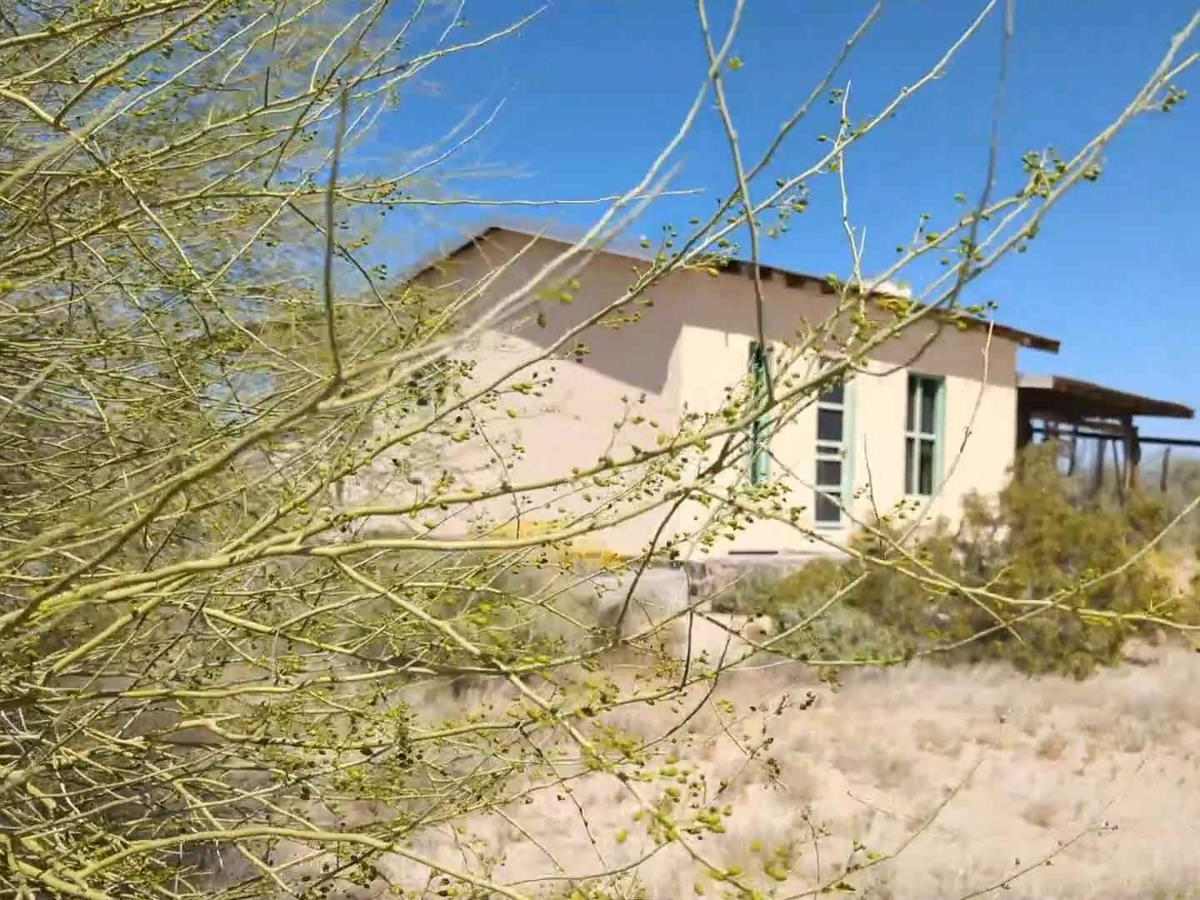
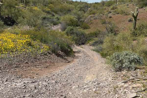
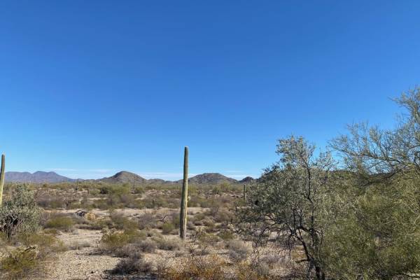
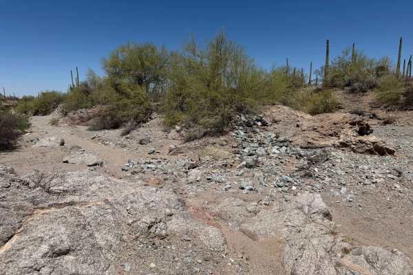
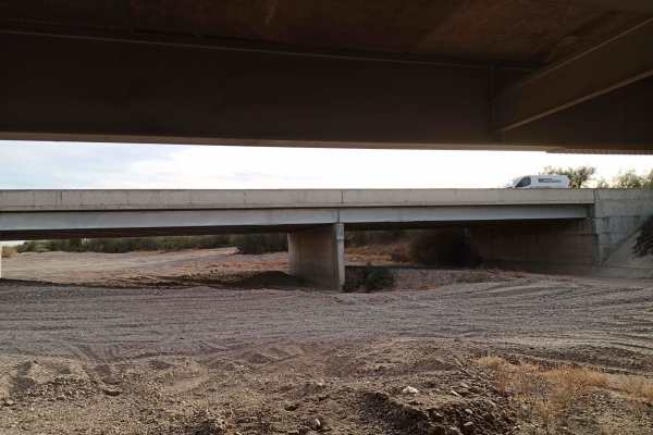
This desert trail takes you deep into the heart of the Sonoran National Monument. As you exit I8 at Bighorn Station, you can explore the abandoned gas station and homestead before heading deeper into the desert. Along this rollercoaster of a trail, you'll cross several washes with moderate to steep descends and ascends. The rest of the road takes you up and down the hills and through the washes. The road is rocky and unmaintained with a rut here and there, but it should be easy enough for any full-sized 4x4 with some clearance. The payoff at the end is a very cool old smelter at the abandoned Papago Indian Chief mine. If you'd like to see a video of this trail before you go out, search for my video on YouTube with the mine's name. There is nothing further south from the mine as you are very close to the border of the Barry Goldwater range. There are two other decent side trips that can be done, but ultimately this is an out-and-back trail. I explored the east trail below Maricopa Peak and discovered that it is only accessible to 50" and under unless you're really into adding pinstripes.

Photos of 8011 to Papago Indian Chief Mine

Difficulty

There is only one wash about mid-trail with a steep ledge that gave a bit of a 3-wheel pucker for my unlifted 2 door Jeep Wrangler on the way out and gives this trail it's rating. Take a look at the photo to see if this ledge is too much for your rig.

History

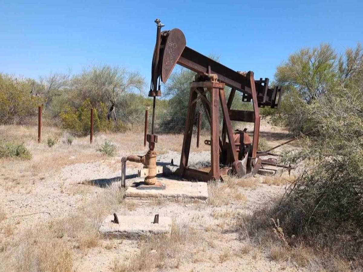
This area has a lot of mining history, Papago Indian history, and ranching history. You could spend a lifetime out here exploring. Make it a long life: take lots of water, shade, and an emergency beacon. There is not cell and this area is known as an immigrant highway.

Technical Rating

5

Status Reports

Add Status Report
Erasmo Rodriguez
Apr 19, 2026
Open
Please plan ahead for this trail. Its 17 miles (~3 hours) to the check point plus another 15 (~1.5 hours)or so back to the I-8 via the Sonoran desert trail. It took us about 4.5 hours from start to finish. Download the map area for sure. No signal once youre in deep. The trail is mainly traversing small hills with coarse rocks so its slow-going, airing down for smoother ride is recommended. The site seeing is mainly at the beginning for abandoned structures. If you traverse from this trail onto the Sonoran Desert trail, there's a moderate-sized rock that you need to traverse (that part is probably a rating of a 5 or 6 even). Once on the Sonoran Desert trail its a bit difficult to distinguish which part is the trail but its mainly loose sand (washout) for about 2 miles then becomes standard dirt track (rating is an easy 2) so you can make up some time there. The track also narrows so a full-size pick up will pin stripe badly. A narrow width 4x4 will scratch only a little.
Joy Lewis
May 28, 2025
Open
Hard to imagine why this is marked 5.. the closest thing we have countered to an obstacle is the wash exit mentioned in the description.. it’s 3.5 miles from the highway- we were headed up it and it was fine in our bronco but I could see a Subaru struggling. Otherwise fun 2track road, some sand, some rocks, a little washboard at times.. we came in from velko road, camped one night then carried on through javelin mountain trail to a his papago mine trail. A zillion saguaro - such cool views! Oh hopping in and out of the wash was fun - you can rip in there! Didn’t take enough pics!
Matt Worthington
May 20, 2024
Open
Daniel M
Mar 23, 2024
Open
Michael Johnson
Dec 31, 2023
Open
Lots of sand and washes in this area. Trails are all mostly easy double track good for jeeps and quads. Lots of brush, pinstriping on the bigger trucks.
Chris L
Nov 04, 2023
Open

8011 to Papago Indian Chief Mine Trail can be accessed by the following ride types:

  • Single Track
  • 50 Inch
  • 60 Inch
  • High Clearance

8011 to Papago Indian Chief Mine Map

The onX Offroad Difference

onX Offroad combines trail photos, descriptions, difficulty ratings, width restrictions, seasonality, and more in a user-friendly interface. Available on all devices, with offline access and full compatibility with CarPlay and Android Auto. Discover what you're missing today!

Open Trail Map