Trail Overview
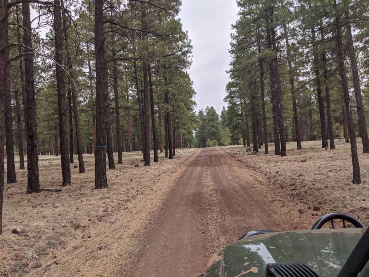
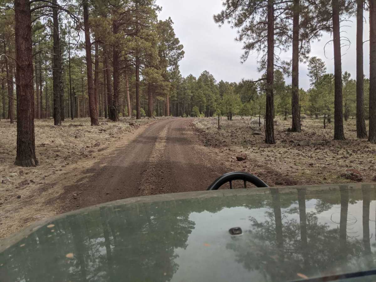
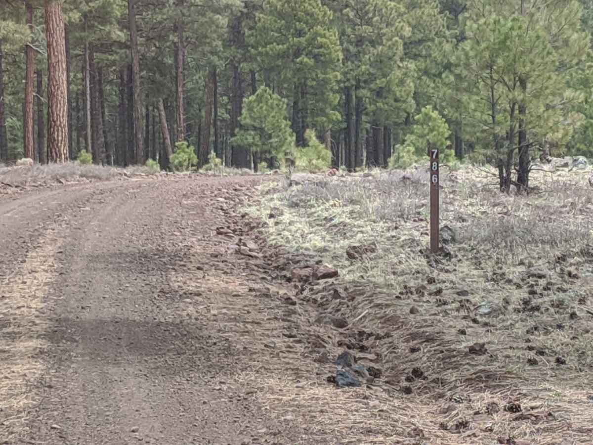
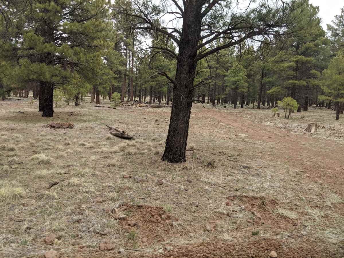
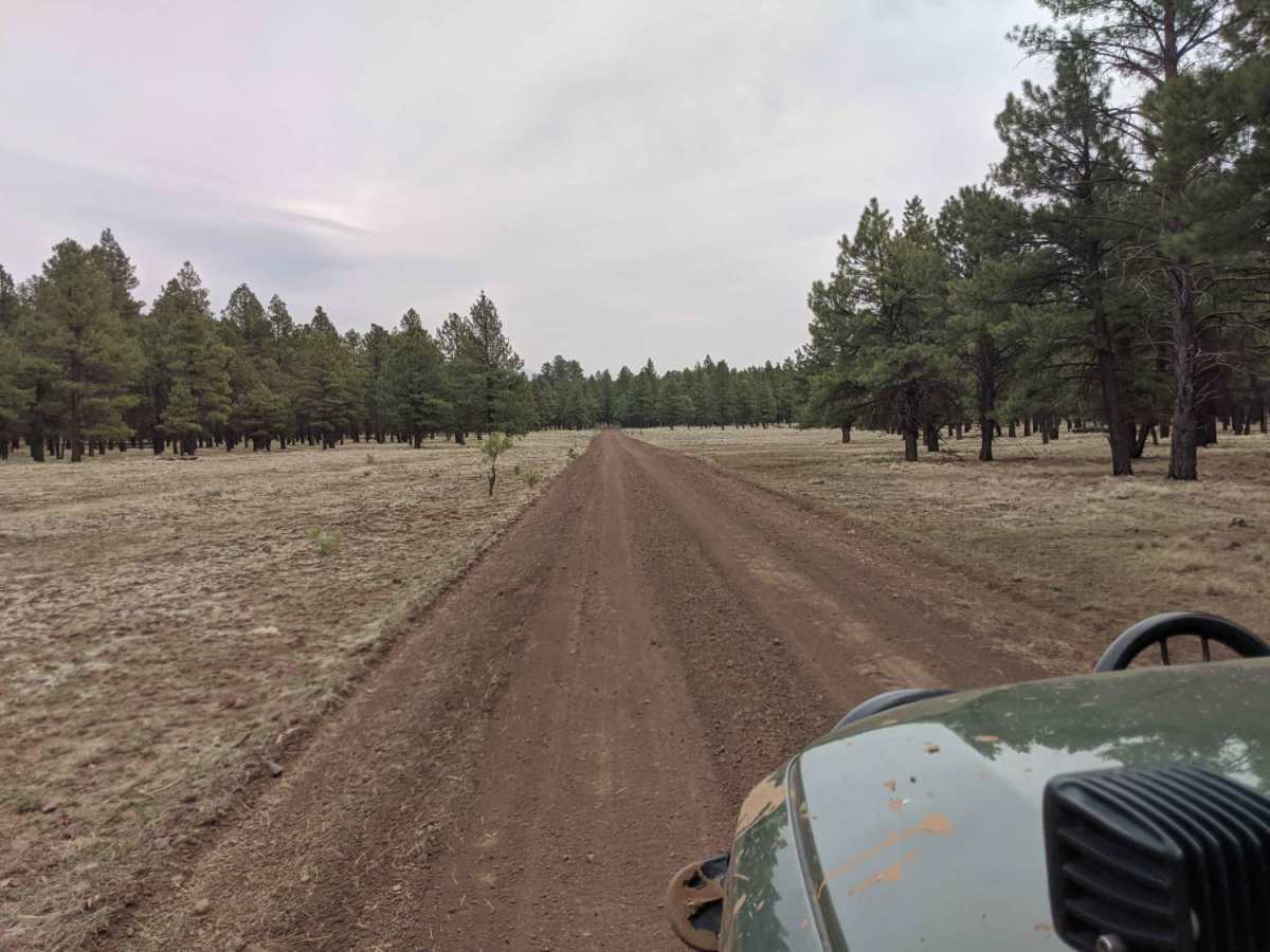
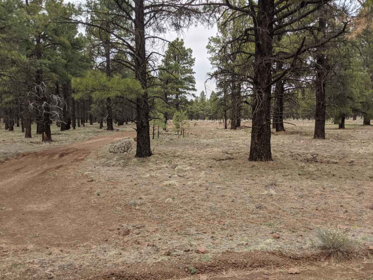
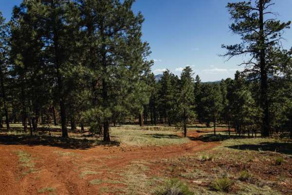
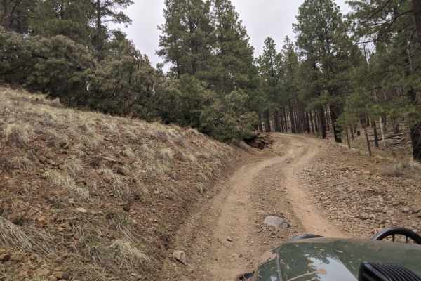
Road 786 is a scenic three-mile dirt road west of Flagstaff, Arizona, perfect for beginners and those seeking a peaceful drive through the Coconino National Forest. Winding through dense stands of pine trees, this route offers a relaxed escape with minimal elevation changes. It provides direct access to several dispersed camping spots, pristine hiking trails, and nearby Forest Service roads. Drivers will pass notable landmarks such as DK Tank and Red Tank along the way, where the thick forest occasionally opens up to reveal beautiful views of the surrounding northern Arizona landscape, including the nearby 7,726-foot Beale Mountain.
With a technical rating of 1, the trail is well-suited for stock SUVs and high-clearance vehicles, though the unpaved surface can become muddy and slick during wet weather. Cellular service is spotty throughout the area. The route is typically unmaintained during the winter months when snow can make passage difficult or impossible, late spring through autumn is the best times to visit. The road terminates near Serap Tank on its eastern end, offering a seamless connection to the Bellemont area and further exploration within the national forest.
Access Description
Located within the Coconino National Forest, this road is free to access and does not require special permits for general offroad travel. The road is unmaintained during the winter, meaning snow and ice can render it impassable. Cell coverage is spotty, so downloading offline maps is highly recommended before heading out.

 Offroad