Trail Overview
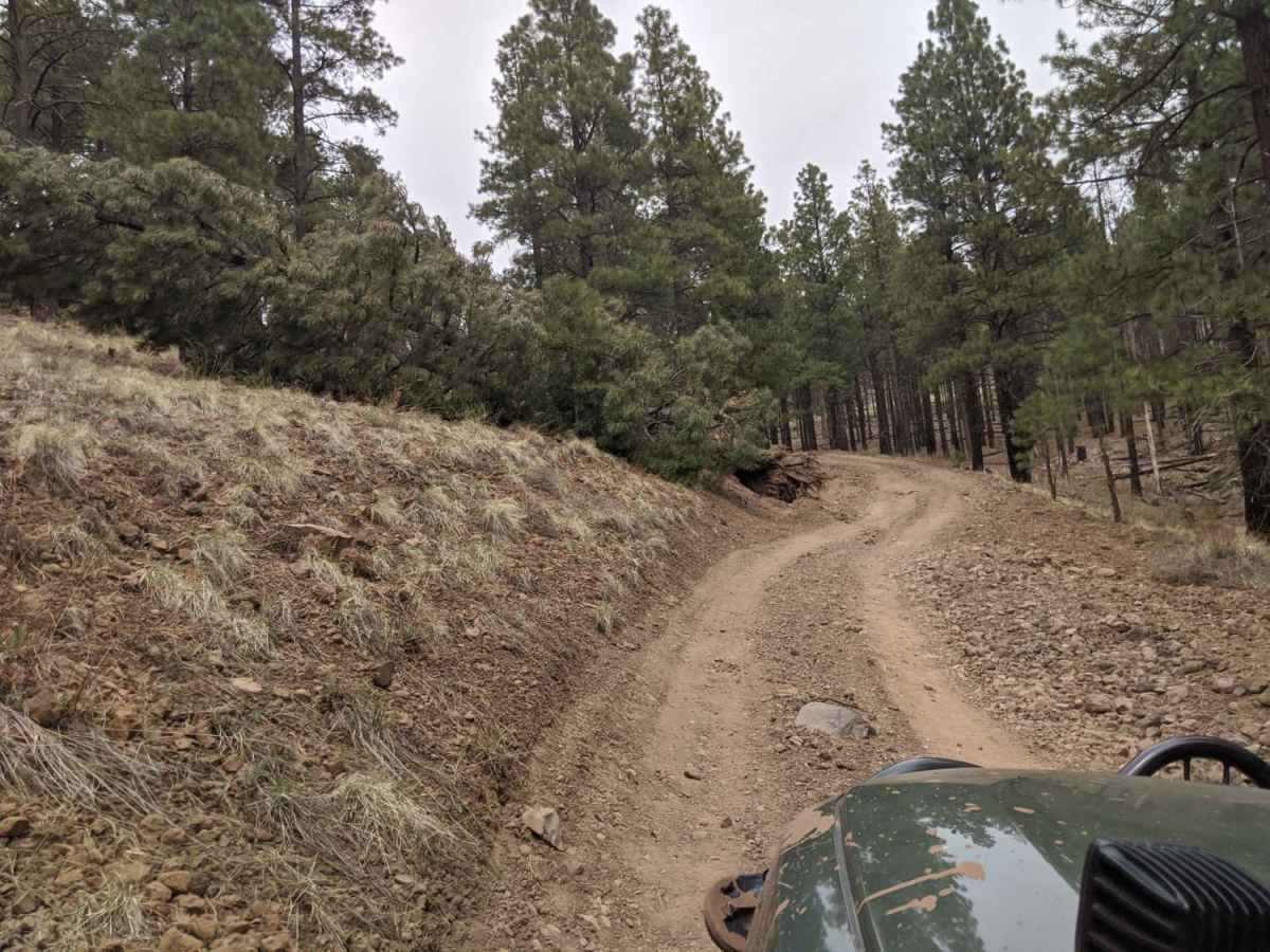
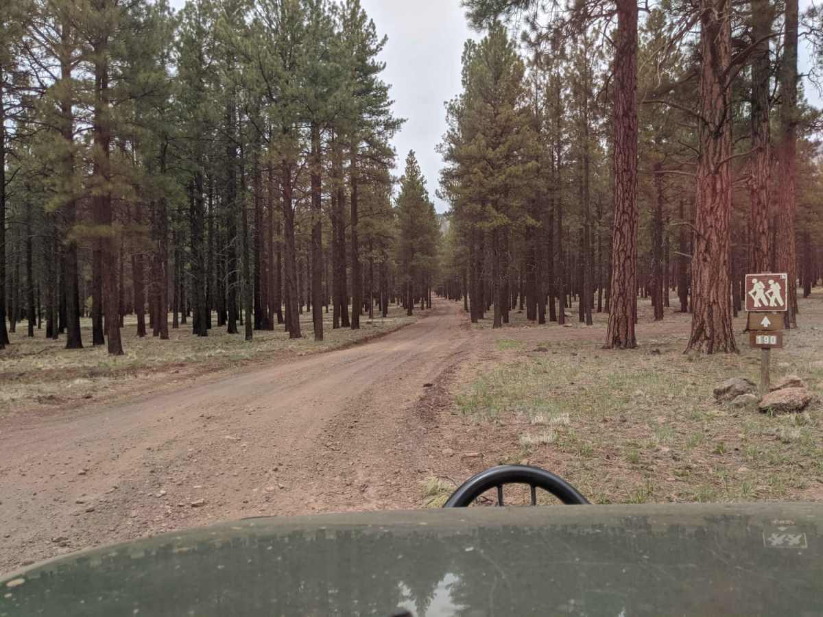
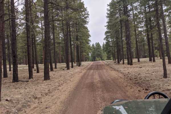
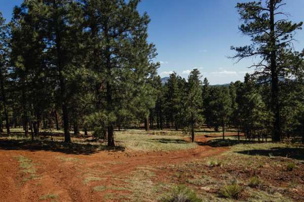
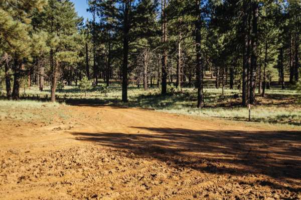
Old 190 Kendrick Trailhead is an engaging 3.3-mile off-road route in the Coconino National Forest that offers scenic views of Newman Hill and Kendrick Peak for high-clearance four-wheel-drive vehicles and SxSs. Starting and ending along Forest Road 171 (Bellemont-Moritz Road), this unpaved route loops around Newman Hill, climbing from an elevation of 7,464 feet up to 8,077 feet. The path features a technical rating of 3, meaning it is suitable for stock four-wheel-drive SUVs, high-clearance trucks, and SxSs, though conditions can vary significantly depending on the direction of travel. Drivers will navigate a mix of dirt and rocky terrain that becomes increasingly rutted and challenging, making a capable vehicle with high clearance highly recommended.
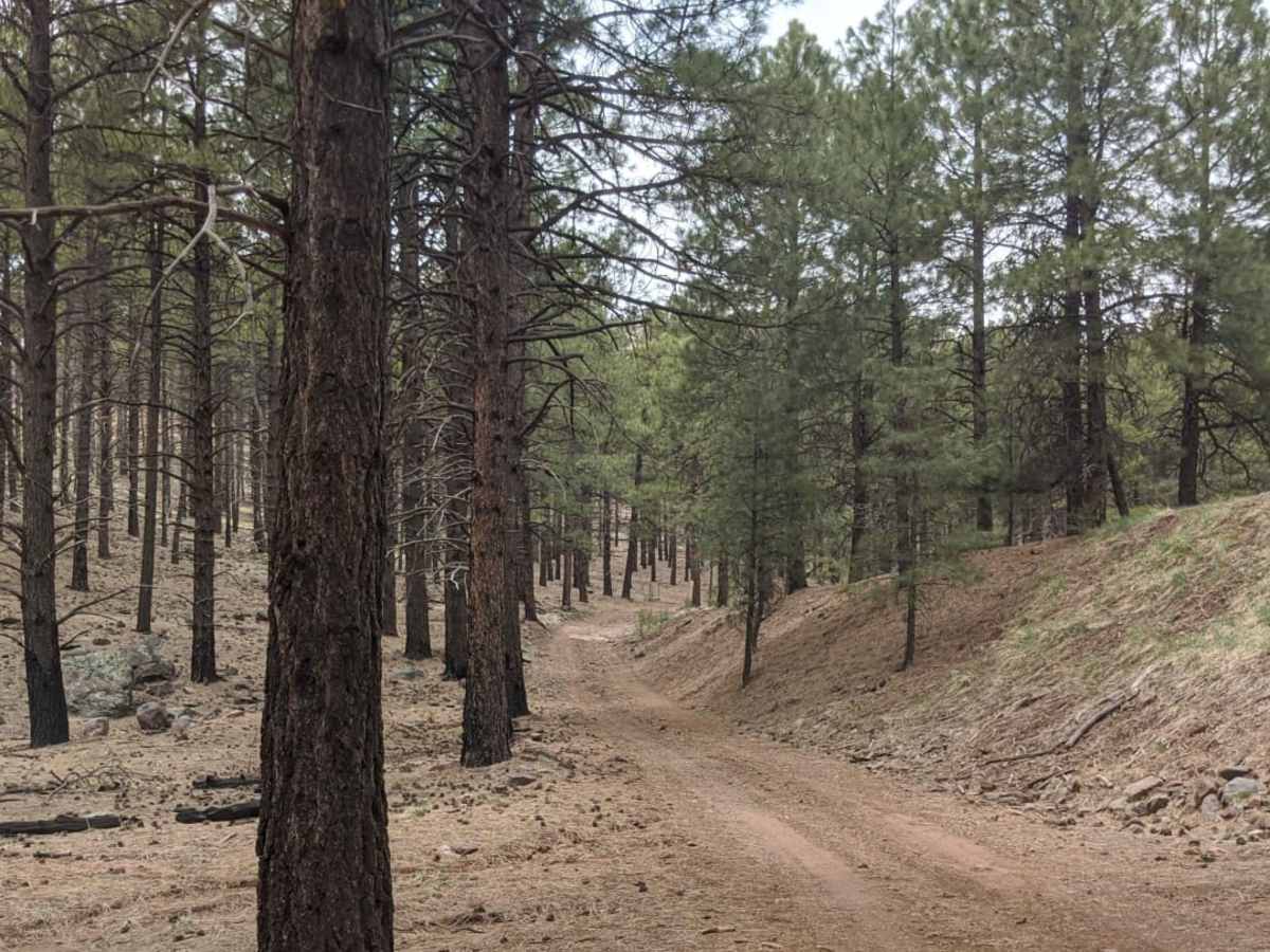
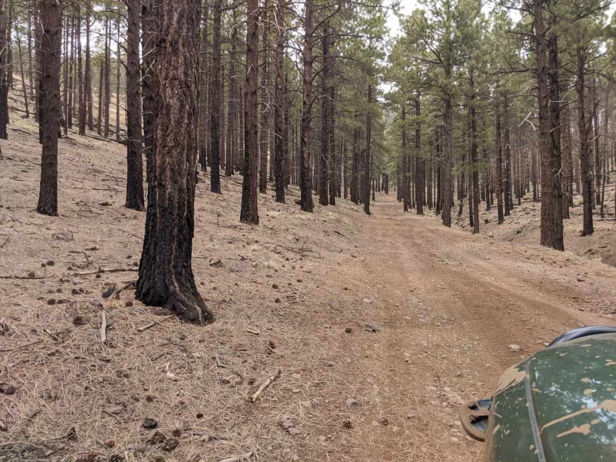
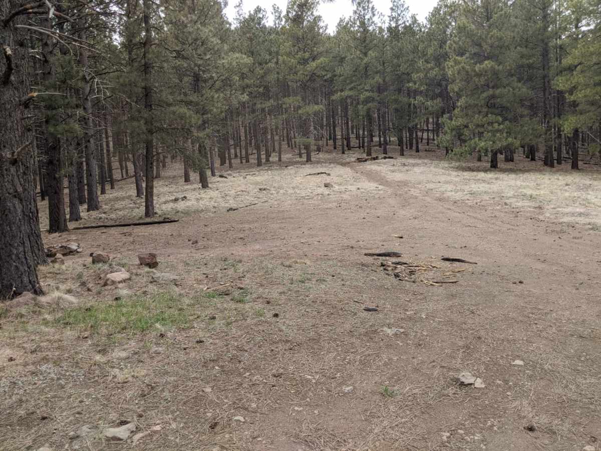
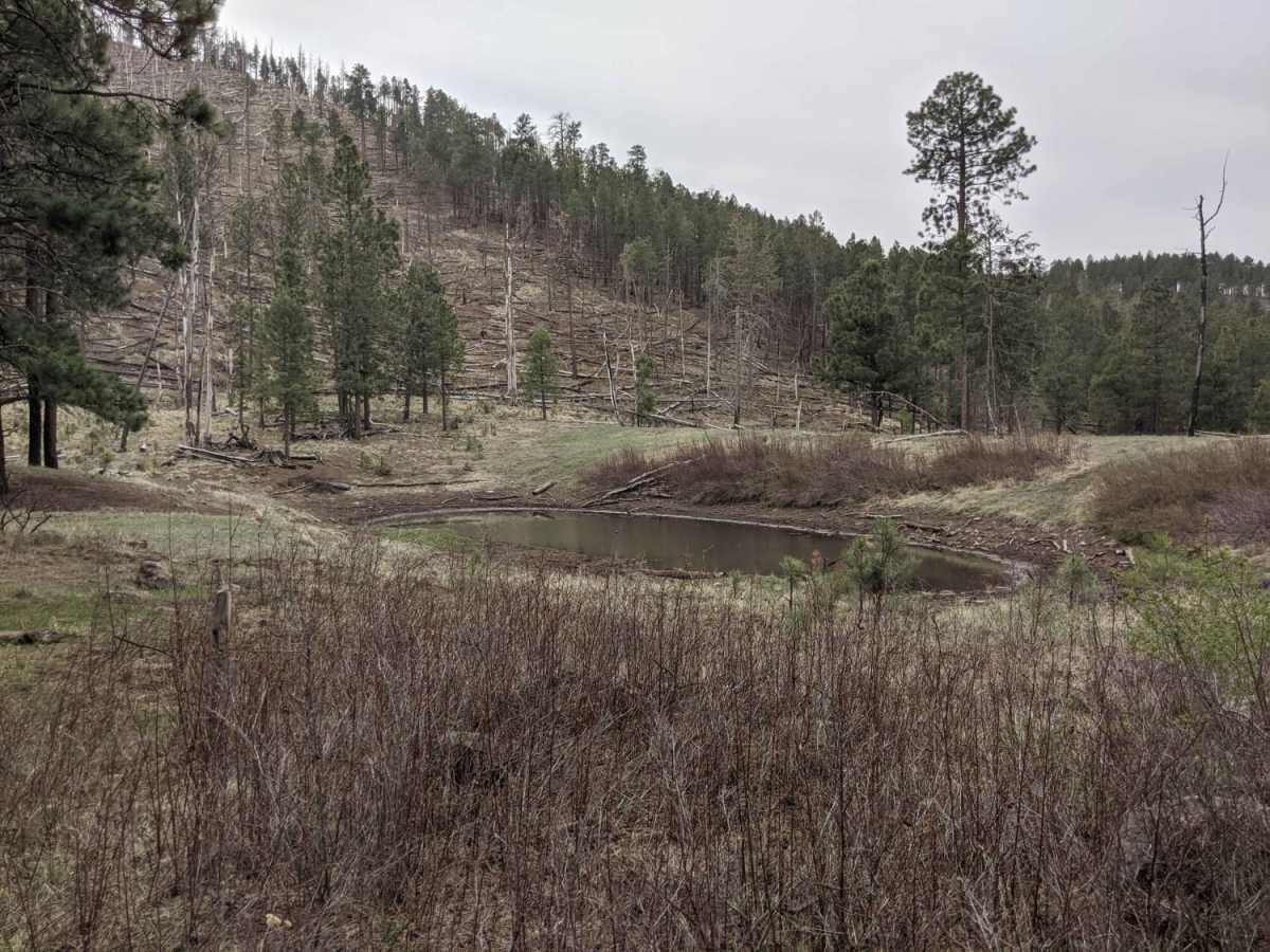
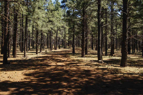
As the route winds through a historical burn area, travelers should remain alert for falling trees, debris, and other environmental hazards along the trail. Seasonality plays a massive role in accessibility; the trail is completely unmaintained during the winter months and becomes virtually impassable due to snow, while heavy summer monsoons can transform the road into an active wash or river. Scattered dispersed camping spots are available along the route, providing excellent base camps for those looking to explore nearby hiking trails, including routes leading toward Kendrick Peak. Plan for a total elevation gain of about 646 feet over the course of the drive, and ensure your vehicle is equipped to handle loose rocks and potential washouts before heading out.
Access Description
The route is located within the Coconino National Forest. It is entirely unmaintained during the winter months, making it impassable due to snow. Heavy rain or monsoon activity can quickly turn the trail into an active riverbed, so drivers should check current weather and forest conditions before attempting the route.

 Offroad