Riverside to Tassi Ranch

Total Miles51.8
Technical Rating
4Moderate
Best TimeSpring, Fall, Winter, Summer
Trail TypeFull-Width Road
Accessible By
Open Trail Map

Trail Overview

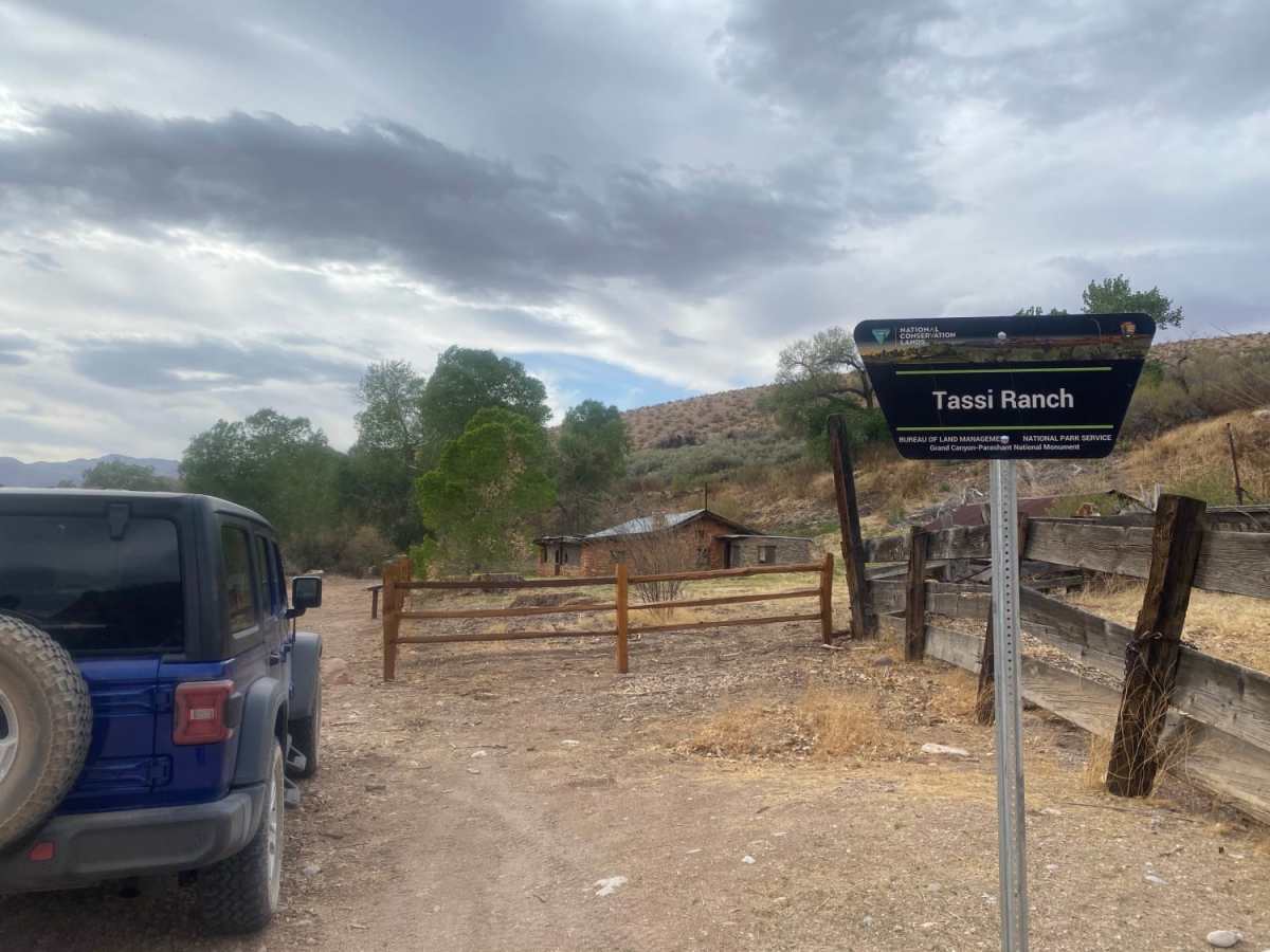
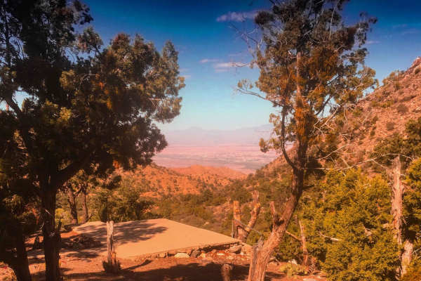
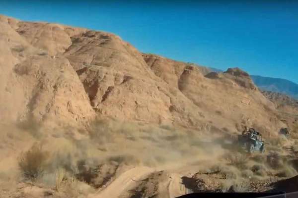
This scenic, easy-going 52-mile one-way route from Riverside to Tassi Ranch is ideal for any AWD or high-clearance vehicle looking to explore the rugged beauty of the Arizona Strip. Traversing mostly dirt and gravel surfaces, the trail features stunning desert vistas and gentle rolling hills with minimal obstacles, as most loose rocks remain under six inches. Climbing from an elevation of approximately 1,280 feet near Mesquite up to a peak of nearly 4,900 feet, the journey winds through Lime Kiln Pass and passes through Arvada Springs. Along the way, drivers will experience a total elevation gain of over 5,100 feet while navigating this remote, dry landscape where preparation is key. While the trail is technically open year-round, extreme summer temperatures frequently exceed 115 degrees Fahrenheit, making functioning air conditioning and self-sufficiency absolute necessities. There are no water sources or services along this entire 52-mile stretch. The route terminates at the historic Tassi Ranch inside the Grand Canyon-Parashant National Monument, offering a fascinating glimpse into the area's early ranching history amid an incredibly pristine desert backdrop.

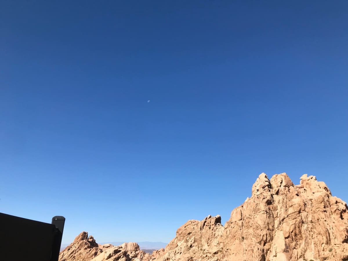
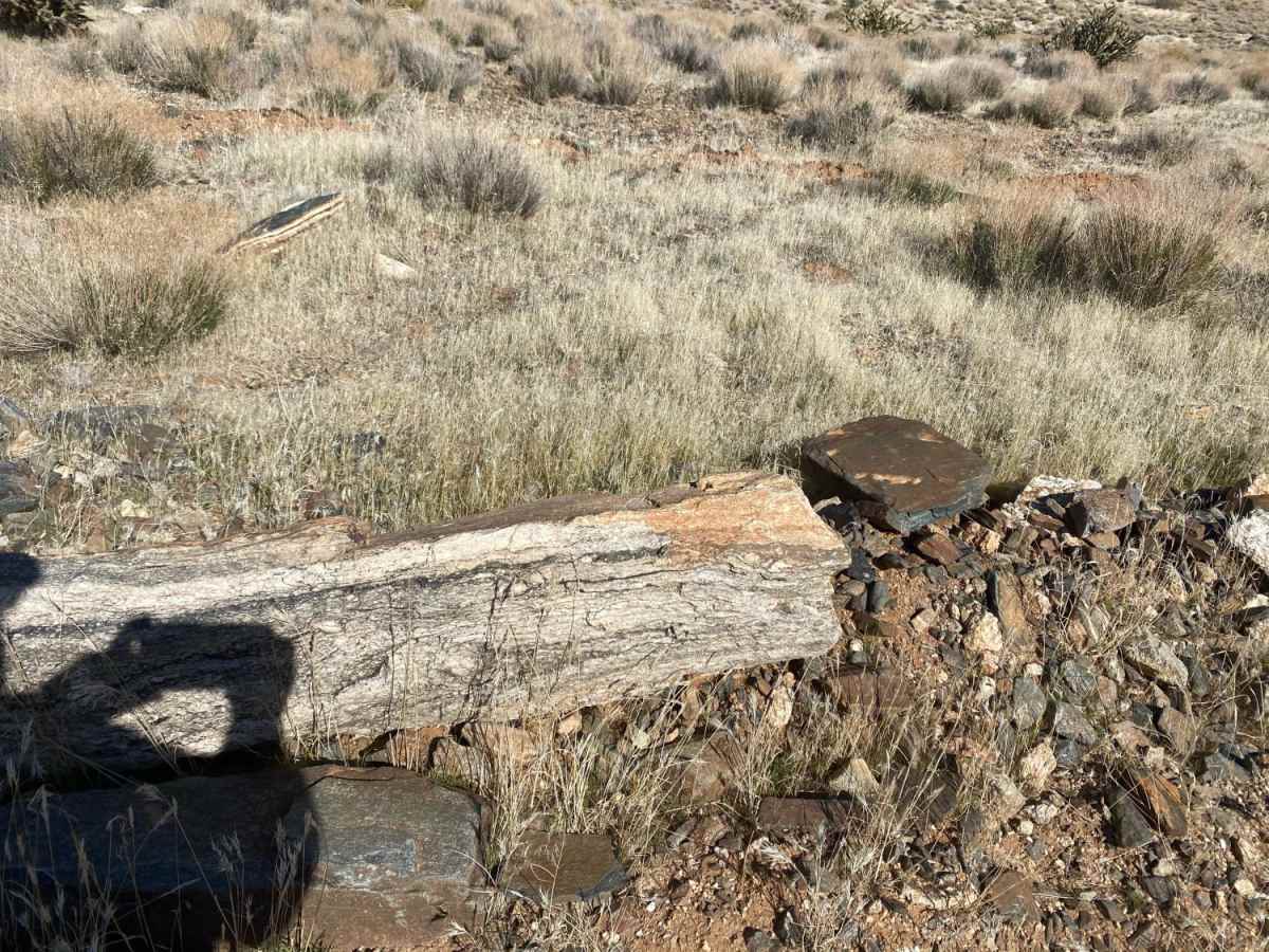
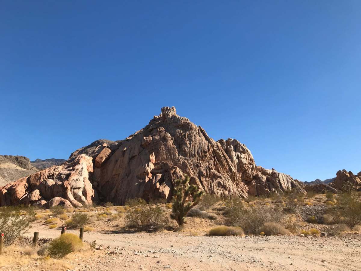
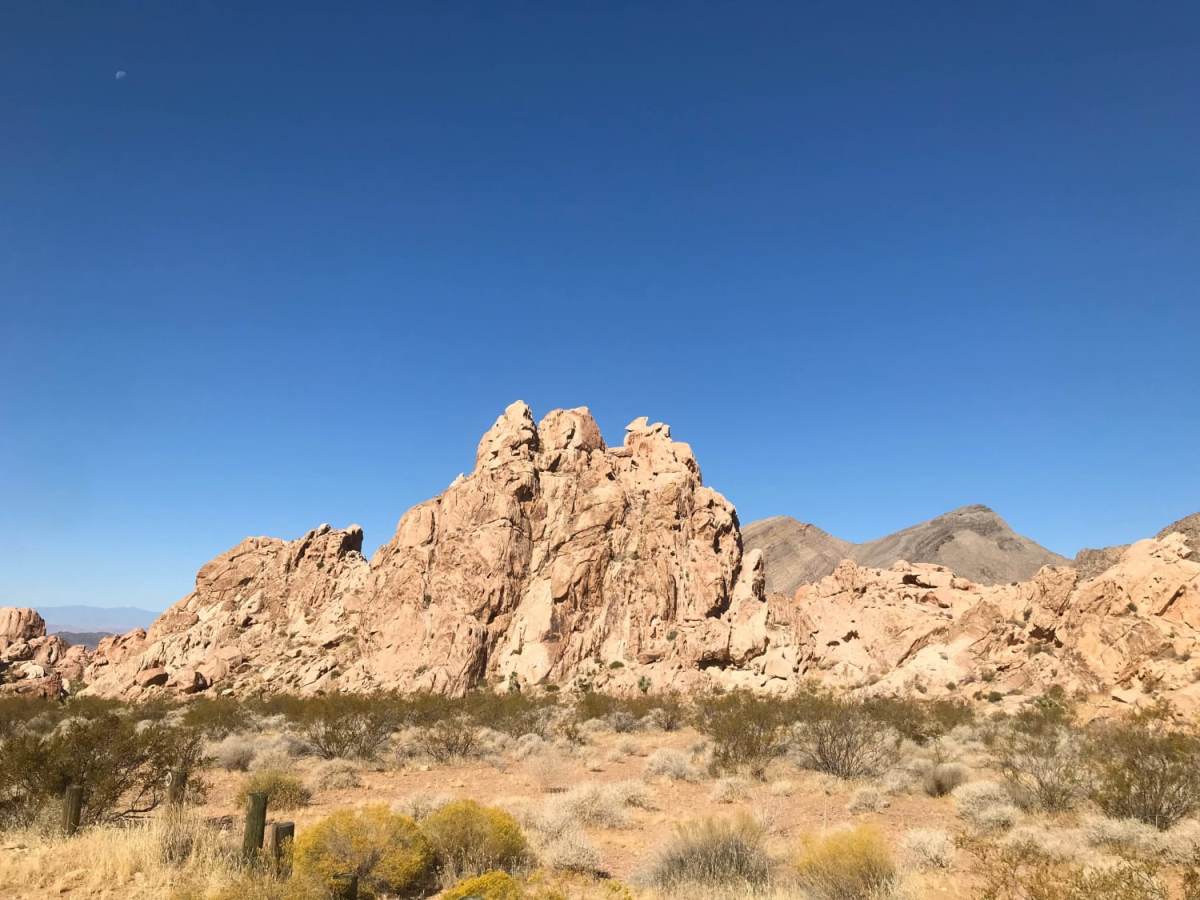
Photos of Riverside to Tassi Ranch

Difficulty

You can access this trail year-round, but you need A/C in summer as temperatures can reach 115 F.

History

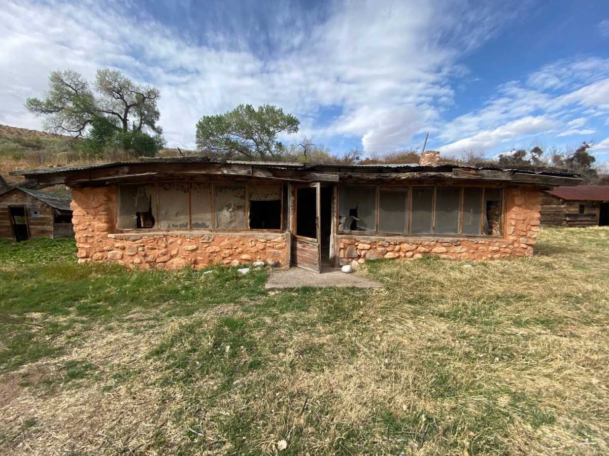
The trail ends at the historic Tassi Ranch, located within the Grand Canyon-Parashant National Monument. Established in the late 1930s by homesteader Ed Yates, the ranch was built around a natural desert spring system, allowing for cattle ranching and farming in one of the most arid and isolated regions of the Arizona Strip. Today, the stone ruins and spring-fed oasis offer a window into early 20th-century desert survival and ranching history.

Technical Rating

4

Status Reports

Add Status Report
Wingman1961
Jun 06, 2026
Open
Rough/Deteriorated
This trail is easy, up until it's not. There are fairly large boulder fields you have to navigate just past the Climber's Camp 36°39'39.0"N 114°00'41.5"W. High clearance 4x4 with lockers are a must. Also don't be afraid of a little undercarriage damage that you will most likely sustain. The canyon is narrow at this point, and it's a challenge to turn a Tacoma around if you decide not to risk it.
Justin Vencel
Apr 03, 2026
2021 Toyota Tacoma
Open
NormalDustyRough/DeterioratedWashboard
All wheel drive up to Like Kiln Canyon parking, after that it’s high clearance only. Talked with a few people and the trail seems to have erodes a good amount over that past few years. A good amount of rutted out road.
Bill Worwood
Mar 30, 2026
Open
John W
Sep 24, 2025
2022 Ford Bronco
Open
Normal
This should not be 1 trail. This route consists of multiple trail types / conditions and the description is very lacking. Trail 242: The climb from Mesquite is GNARLY. You are basically rock crawling up slick-rock shelves and bedrock the entire Ascent up the canyon. 4x4 - Low - Lockers - Lifted recommended. It took nearly 3hrs to go from canyon entrance, up to the junction of the 101 (roughly 13 miles) Trail 101: Super easy, really nice, once your up there. Trail 111: Best of them all, well graded super nice any car could drive. Wash off the 111: When you turn off the 111, heading south, the RD, is well, just a wash. But a really fun nice wash to drive. sorta tight with some bushes but no large boulders to avoid or bang on and fun overall. @Pakoon Springs: This is where the road gets rougher. If you continue on the 111 SW to the 113 the road it TOTALLY WASHED OUT - it's simply a Large wide wash you are navigating through. SUPER FUN, just more time consuming than you may think. Lifted Helps
Justin R
Aug 31, 2025
2008 Dodge Durango
Open
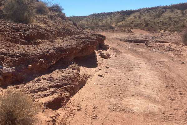
Most of the trail is bumpy up to the pass where there is a small portion, 1/4 of a mile l, where the road is so rutted, low clearance vehicles would not be able to pass. My stock 08 durango had to turn around due to the size of the ruts.
Greg Jaworski
Apr 13, 2025
2018 Jeep Wrangler
Open
This trail is miserable. While not difficult it is miles of rocky road. Definitely 4x4 and not AWD and there is one steep obstacle to climb or descend. We saw a Toyota crossover as we were entering Mesquite and a vehicle like that will not make it on this trail.
Marcel Horstmann
Dec 29, 2024
1993 Toyota Land Cruiser
Open
Rough/Deteriorated
Pretty rutted out around the pass. No single super difficult obstacle, but multiple miles of very rough terrain. Definitely not viable with "any AWD vehicle" as stated in the description. Will need a high clearance 4x4.
Dan Merrill
Jun 15, 2024
Open
NormalDusty
The pass is pretty rutted up, has deteriorated substantially in the last three years.
B C
May 02, 2023
Open
Normal

Riverside to Tassi Ranch Trail can be accessed by the following ride types:

  • Single Track
  • 50 Inch
  • 60 Inch
  • High Clearance
  • Full Width

Access Description

This route is accessible year-round, though extreme summer temperatures can exceed 115°F. Vehicles must have reliable air conditioning, and travelers must carry sufficient water and supplies, as there are no services or water sources along the remote 52-mile corridor.

Riverside to Tassi Ranch Map

The onX Offroad Difference

onX Offroad combines trail photos, descriptions, difficulty ratings, width restrictions, seasonality, and more in a user-friendly interface. Available on all devices, with offline access and full compatibility with CarPlay and Android Auto. Discover what you're missing today!

Open Trail Map