Trail Overview
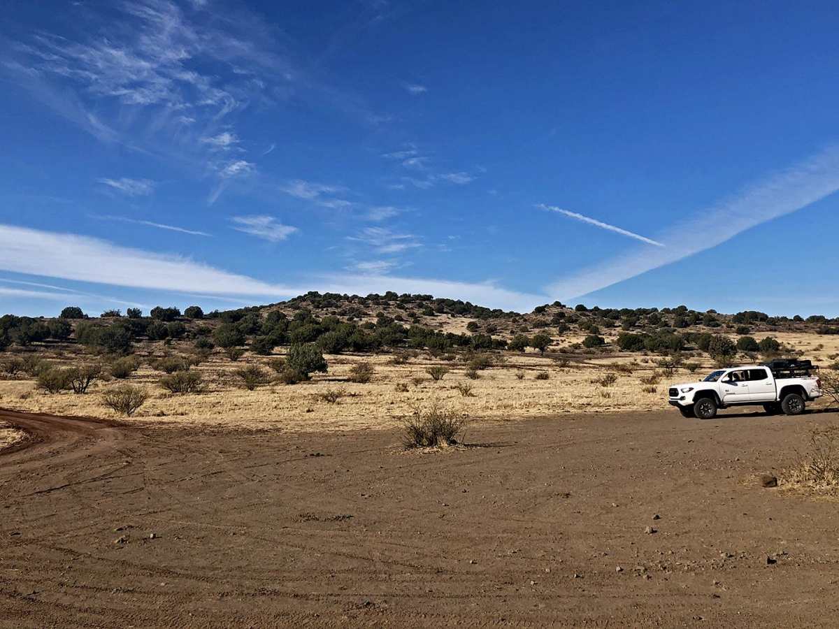
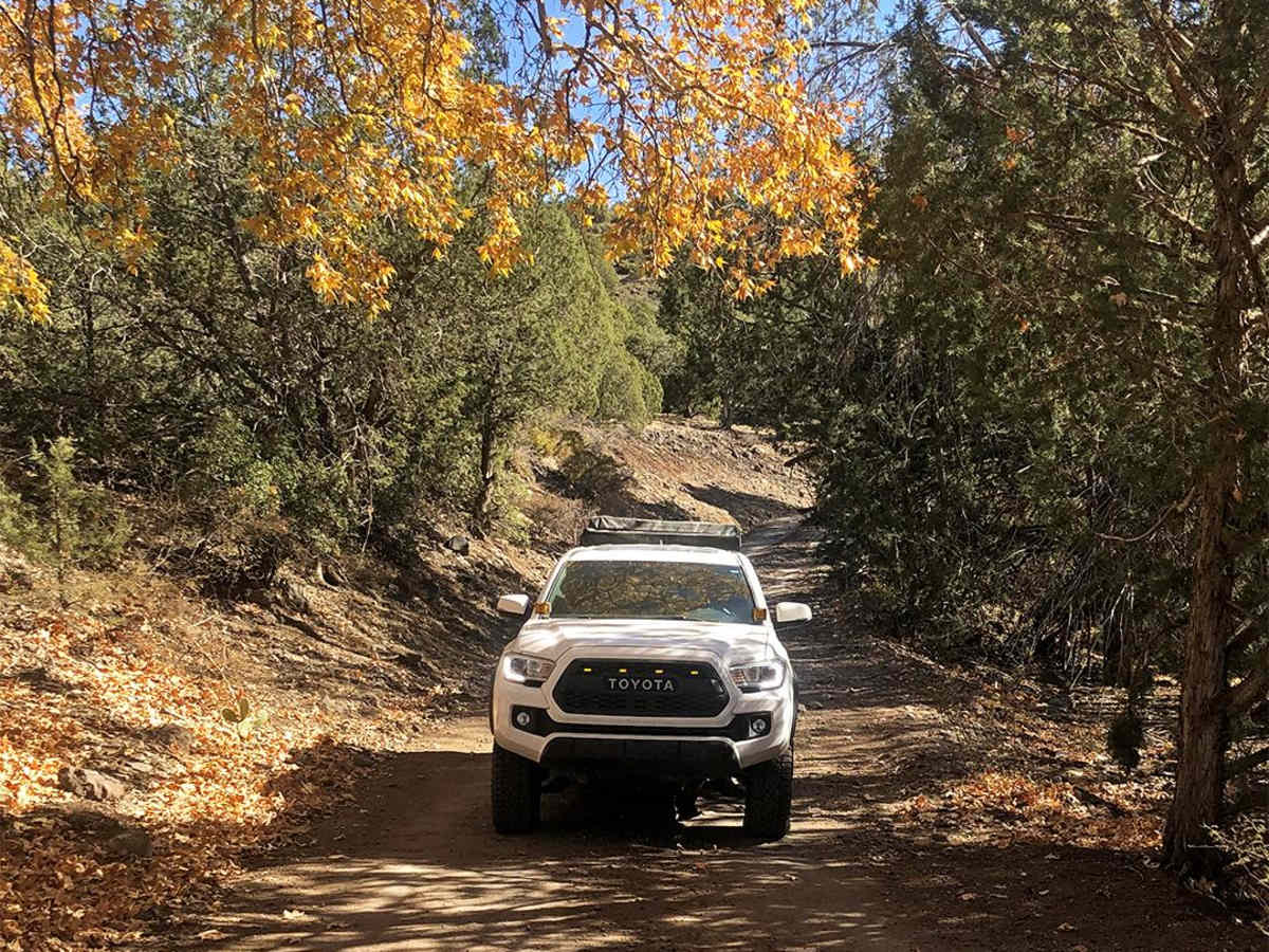
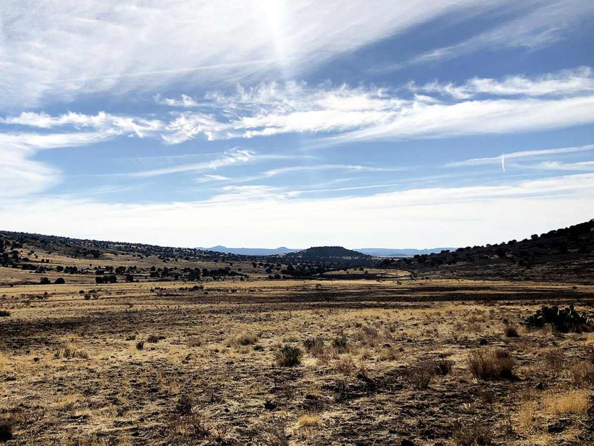
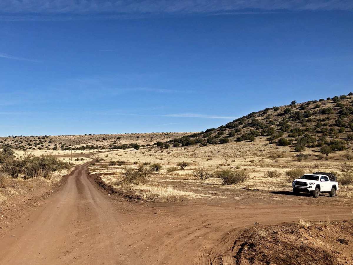
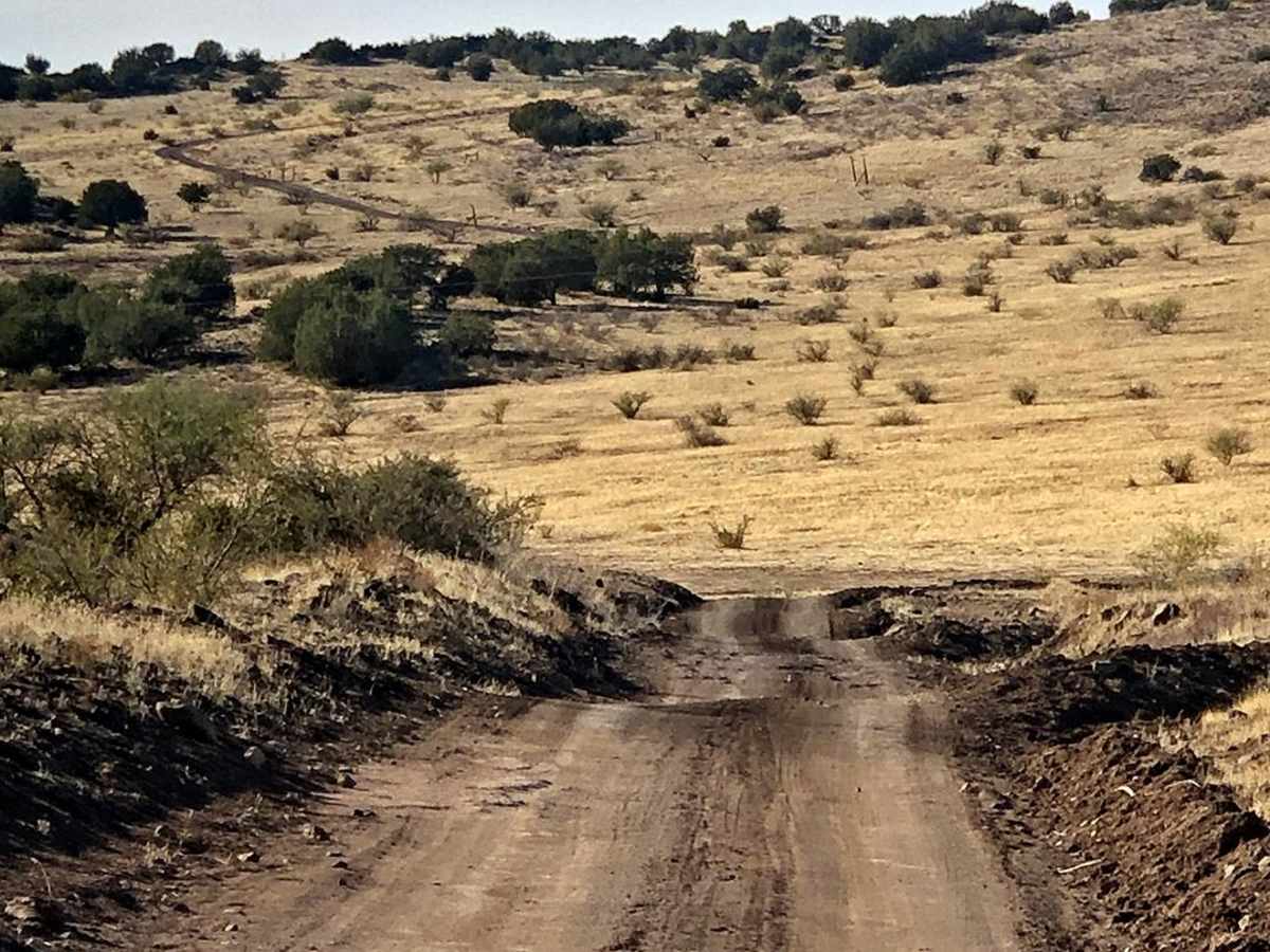
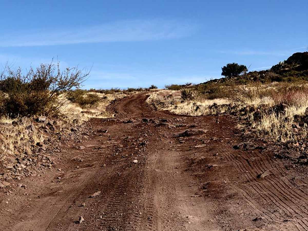
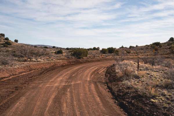
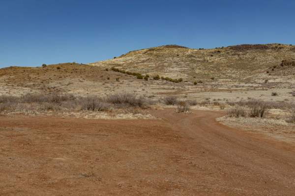
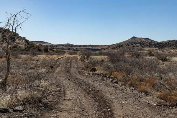
Reimer Road to Squaw Peak Road is an scenic 18.3-mile point-to-point route through the high-desert plains of the Prescott National Forest, making it an excellent adventure for beginners, stock high-clearance four-wheel-drive vehicles, and SxSs looking for panoramic views of the Arizona landscape. The trail features an easy overall rating of 2 out of 10, climbing from a minimum elevation of 4,061 feet up to a peak of 5,105 feet, with a cumulative elevation gain of nearly 1,936 feet. While ninety percent of the route consists of straightforward dirt tracks, drivers will encounter brief sections with loose rocks, minor ruts, and dry river bed crossings that require careful line selection. High-clearance two-wheel-drive SUVs can typically navigate the route under dry conditions, though four-wheel-drive capability is recommended for the steeper, loose-gravel segments and any unexpected obstacles.
Weather can quickly alter the terrain, so offroaders should avoid crossing the dry creek beds during or immediately after heavy rainfall due to the risk of flash flooding. The arid environment offers virtually no shade, meaning summer travelers must bring plenty of water, while the cooler spring and autumn seasons provide ideal riding conditions. The surrounding national forest lands offer abundant opportunities for dispersed camping and hunting, with several scenic spots to set up camp along the way. Because this is active cattle country, users must close any cattle gates they pass through to respect local ranching operations. The trail connects Reimer Road to Squaw Peak Road, serving as a gateway to further exploration of the Black Hills and surrounding Yavapai County backcountry.
Access Description
The route is located within the Prescott National Forest. No special permits or fees are required for normal off-road recreational use of these forest roads. Ensure all vehicles are registered, and check with the Forest Service for current fire restrictions or seasonal road closures. Please leave all cattle gates as you found them to prevent livestock from escaping.