Trail Overview
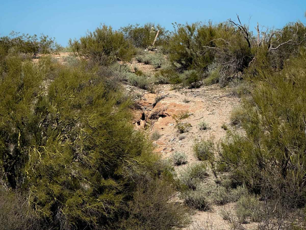
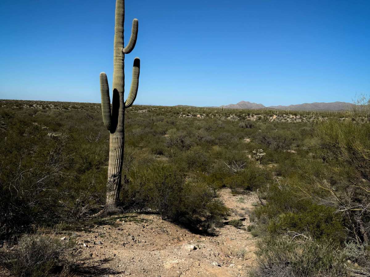
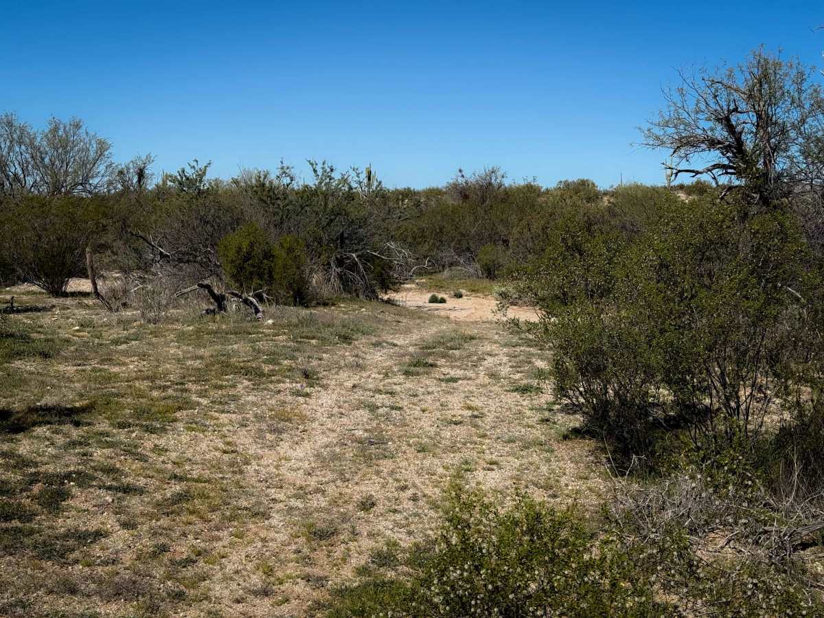
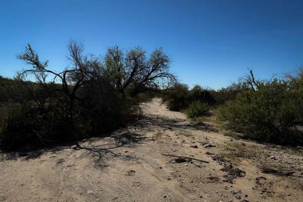
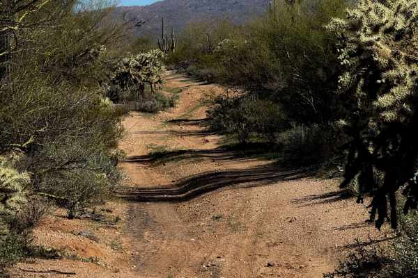
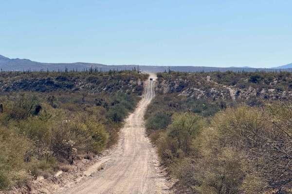
This is a more primitive trail that rides through the desert flats north of Oracle Junction, Arizona. This trail crosses the washes (instead of riding in them) and rides through the bushes on a faint track. There are minimal tracks to follow, and lots of bush branches to dodge. It will require some good route-finding skills and constantly checking the GPS map to follow the route. It is very narrow between the bushes at times and will likely have branches whacking you and your vehicle. It climbs up and down a couple of small hills that are loose and rutted, where you can see a faint trail and maybe a few tracks. Expect a few big washouts to the side of the trail, and a minor layer of loose rock on the surface of the trail. There are giant saguaro lining the trail and cholla cactus to watch out for. This trail is more of an adventure than the many easy wash trails in the area. The north end ends at a pipeline. The southern portion of the trail below the “Bogard Boulevard” is more defined, on a wider and more trafficked dirt track that rides between the bushes. This trail is on Arizona State Trust Land, which requires a permit for recreation from the Arizona State Land Department.
Difficulty
This trail is more primitive and will require good route-finding skills. It is narrower between the bushes, with a couple of small climbs, making it more moderate in difficulty and better for more experienced riders.