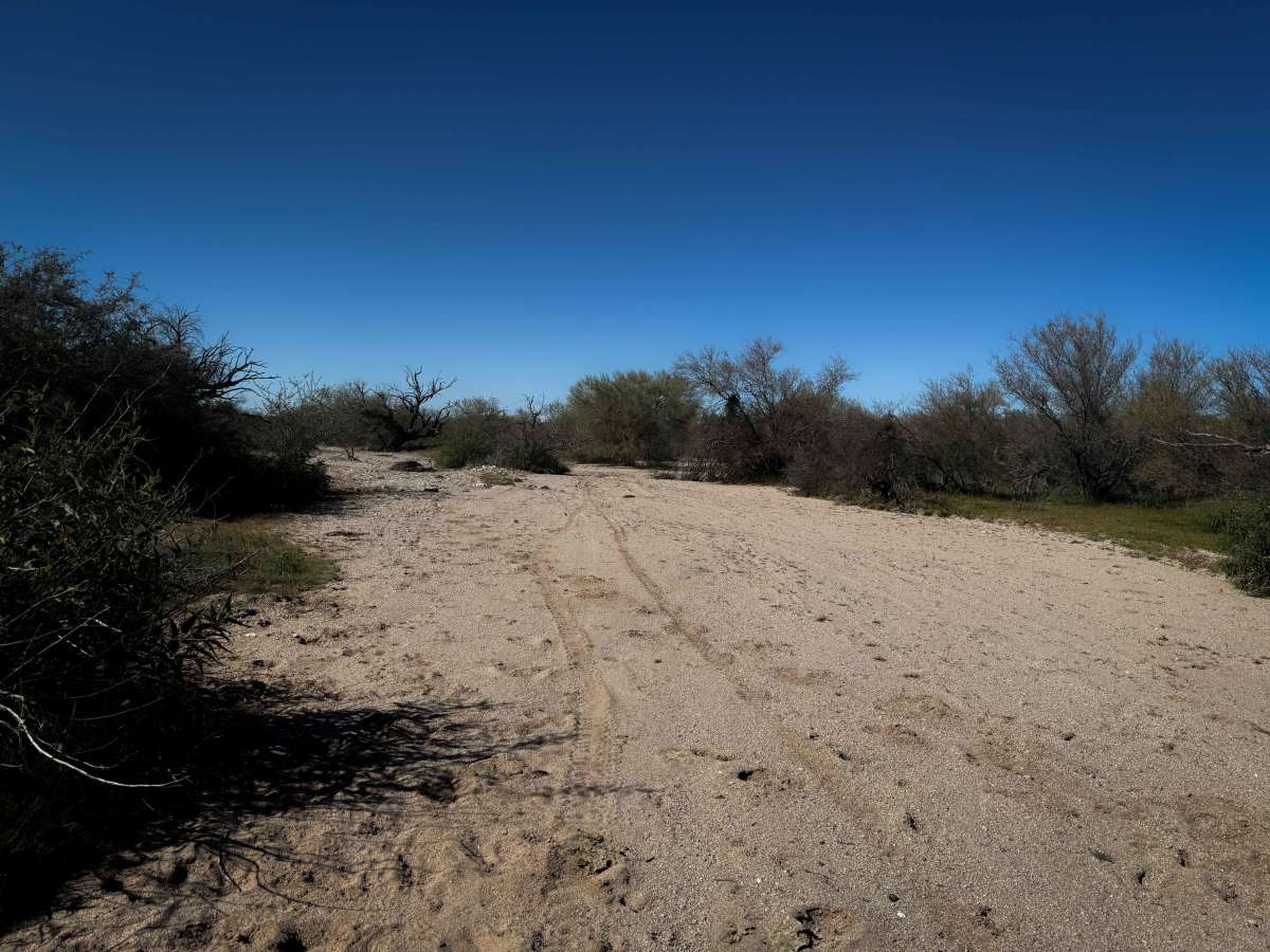
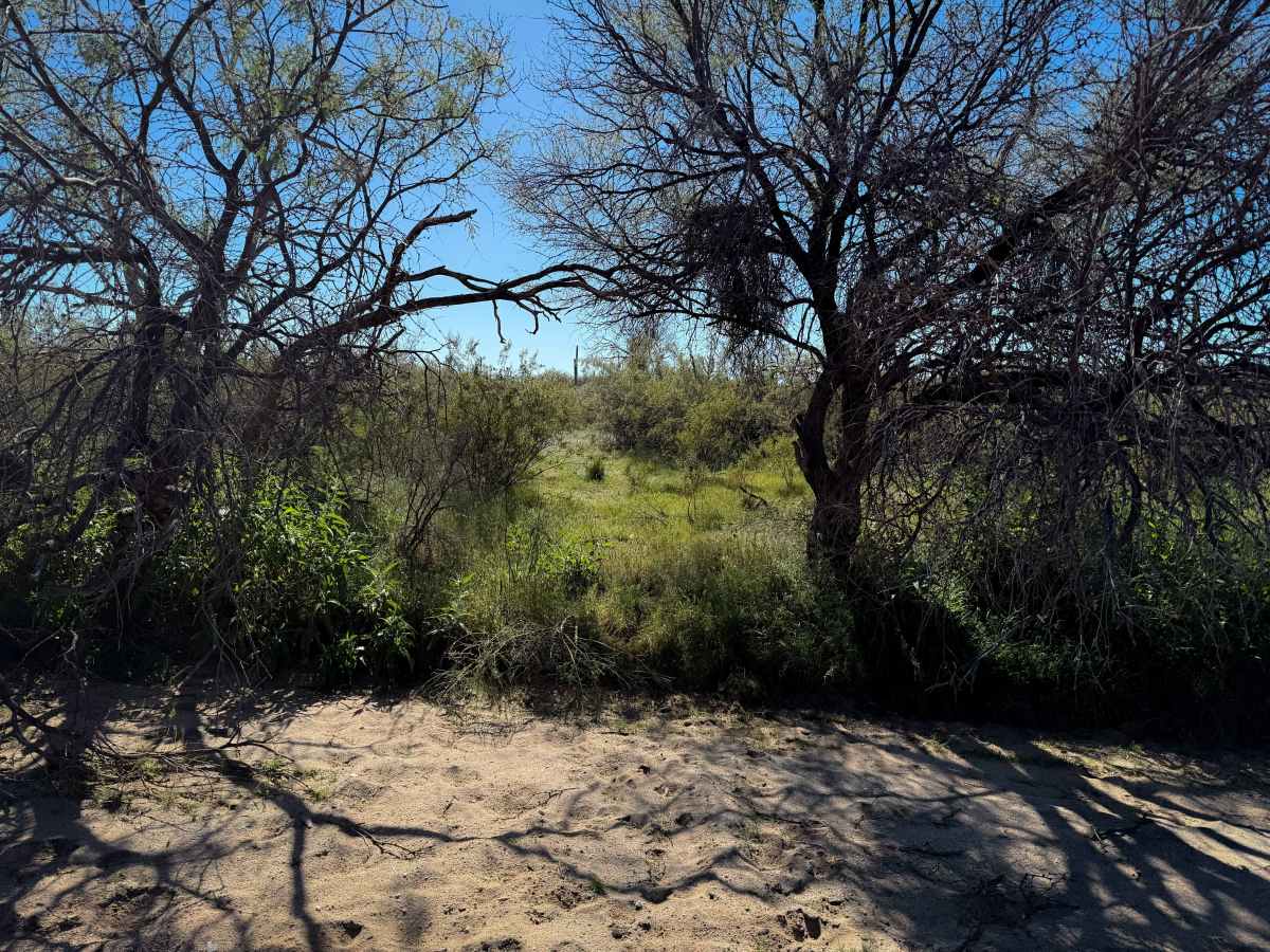
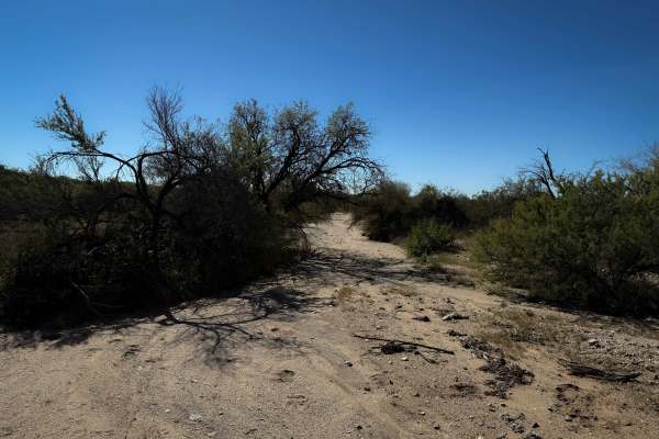
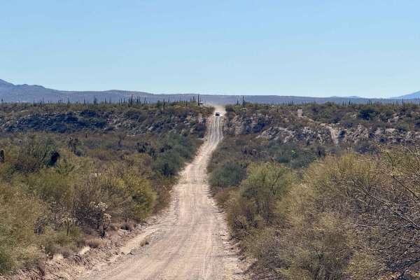
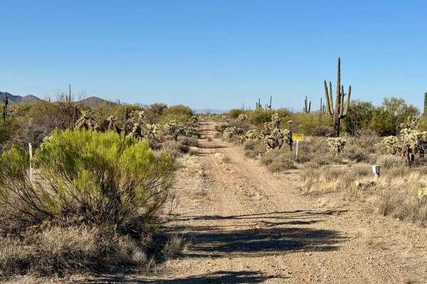
Trail Overview
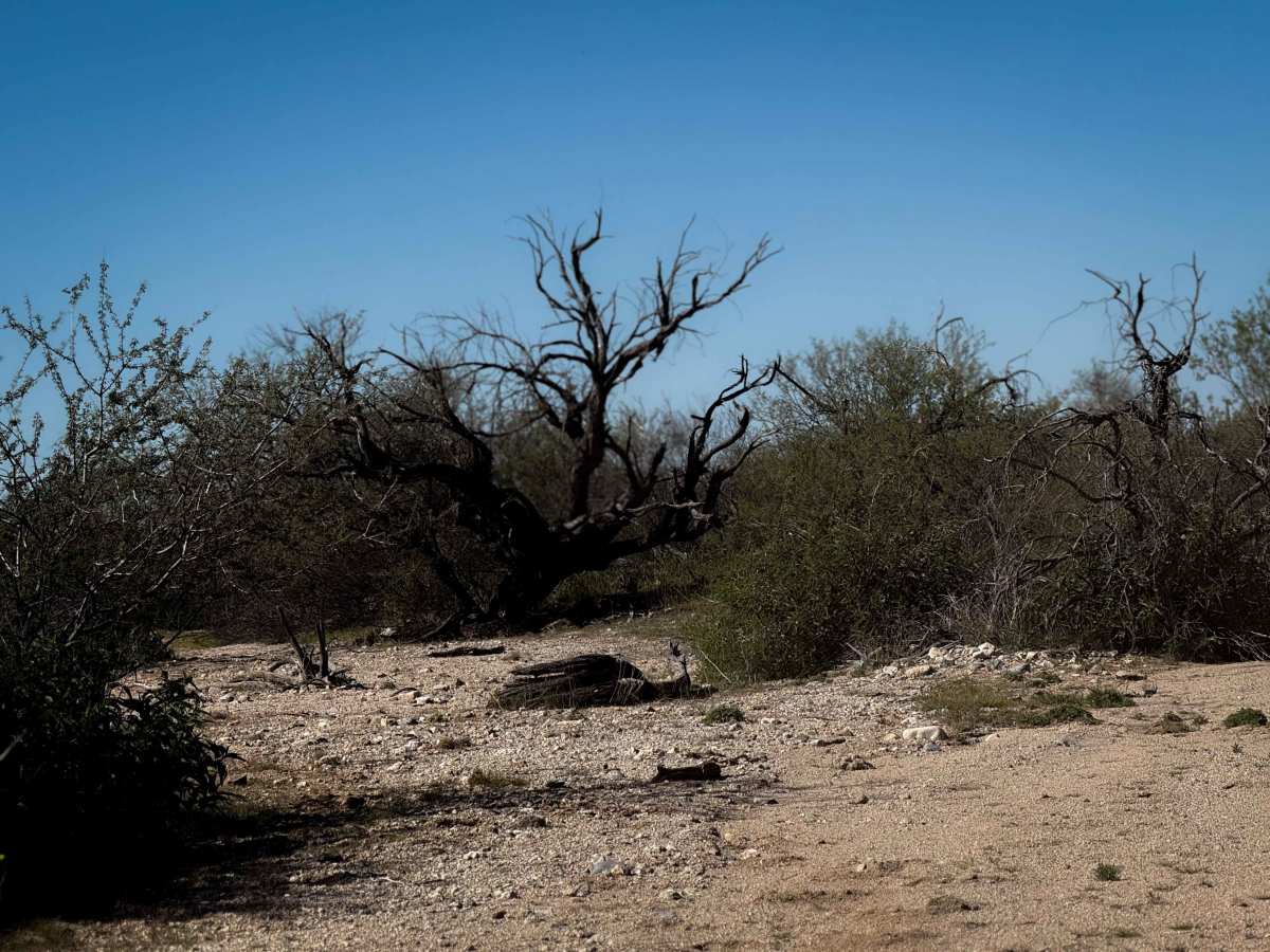
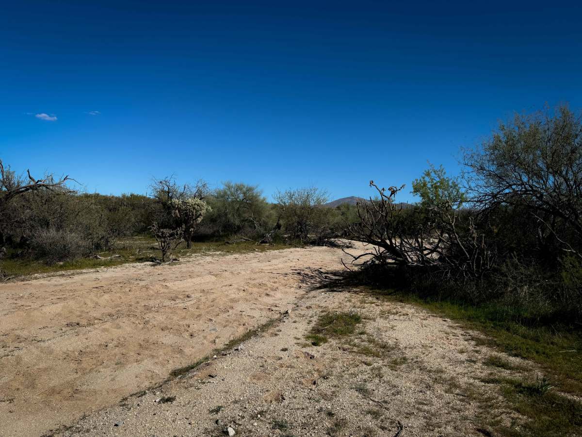
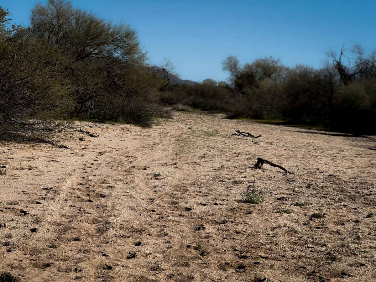
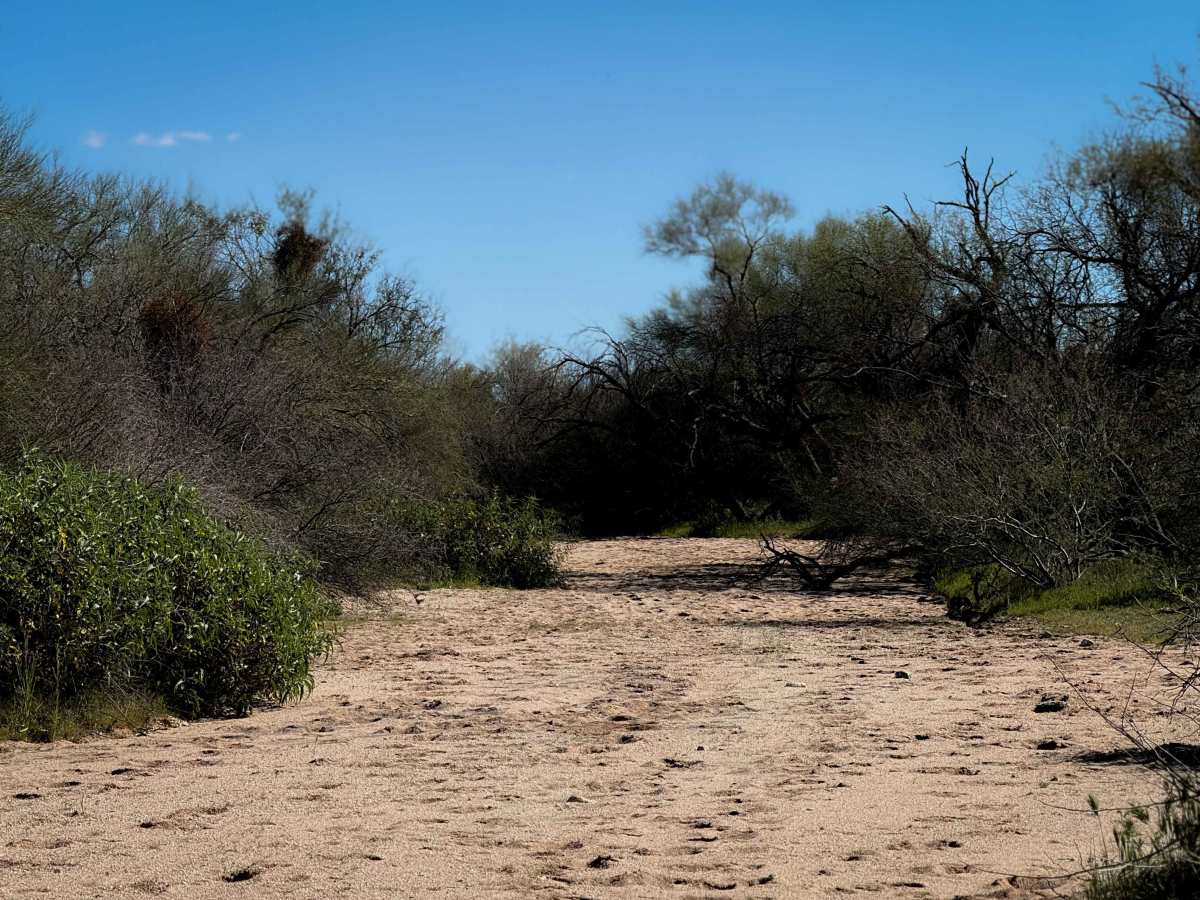
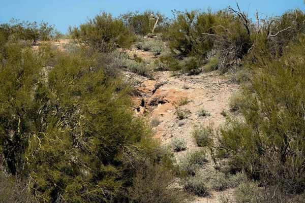
This is an easy and short wash trail in the desert flats north of Oracle Junction, Arizona. The wash is made of smooth white sand, packed down with lots of tracks, but trampled through by cattle. It is 30 feet wide at times, lined with palo verde and mesquite trees. The wash narrows up in spots and takes a few unmarked splits, riding underneath low-hanging branches of the mesquite trees at times. On the east end, the wash keeps going, but this specific route takes an unmarked exit from the wash directly south into the bushes on a faint track that looks very minimally trafficked and overgrown with grass. The track exits the wash at two big mesquite trees. It goes into a smaller wash through the bushes and ends on a primitive track through the cactus. A GPS map is essential in order to find the exit from the wash. This trail is on Arizona State Trust Land, which requires a permit for recreation from the Arizona State Land Department.
Difficulty
The majority of this route is very simple, just riding through a sandy wash. However, it makes an unmarked turn on the east end into the bushes lining the wash, which will require some good route-finding skills. It is still easy riding until the end of the route, although narrower.