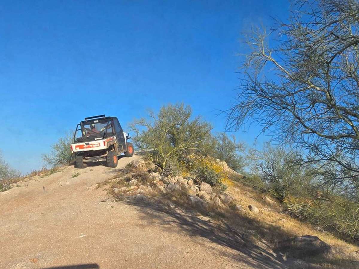
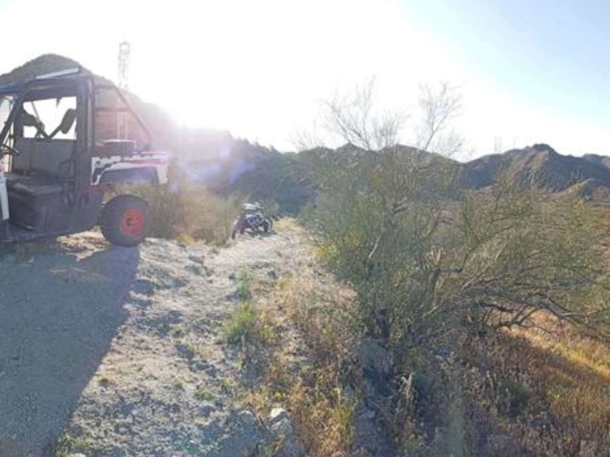
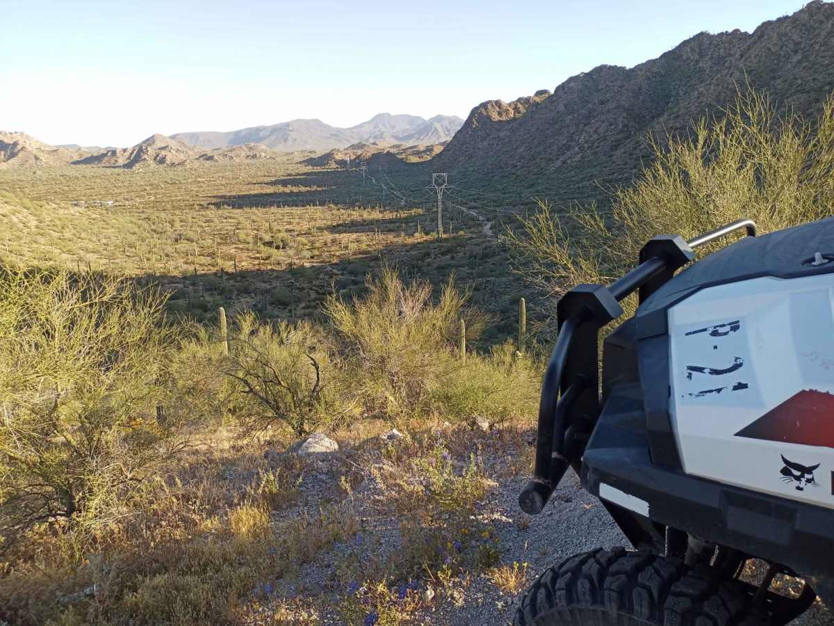
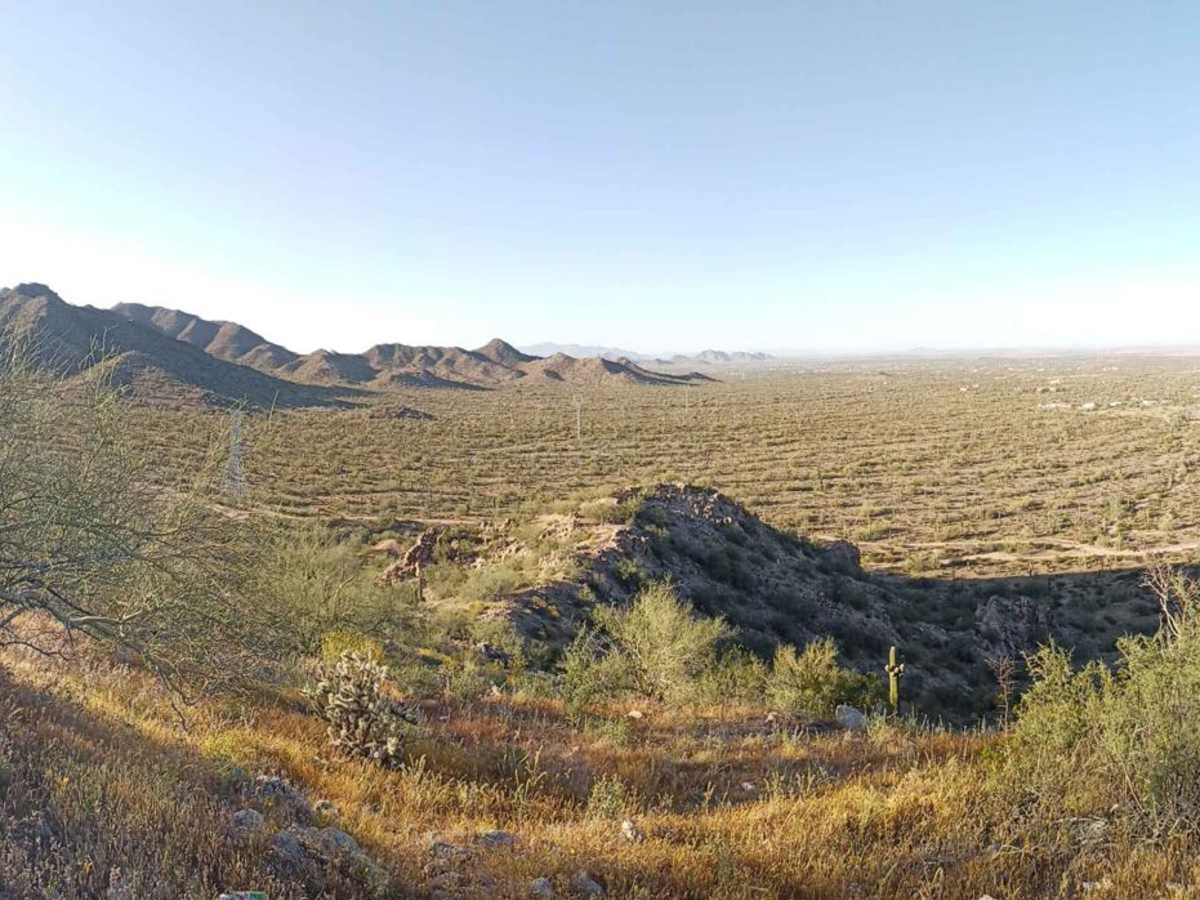
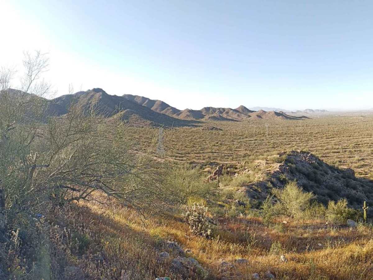
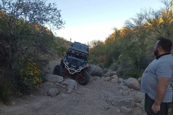
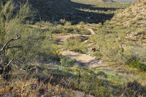
Trail Overview
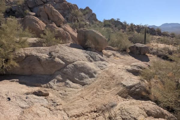
This hilltop overlook might be the highest vehicle-accessible hill in the whole area. If you choose to drive a machine up this hill, you should be extremely careful; there are sheer drop-offs on all sides, and one slip with the gas or brake pedal will have you rolling down the hillside several hundred feet. This trail is for experts only due to this exposure. There's very little room for turning around at the top--you will be doing a 4 to 7-point turn depending on your machine, while off-camber. If you're going up for photos, you might be best to do so on foot. The trail is also narrow in 2 places, too narrow and off-camber for a full-size vehicle.
Difficulty
If you choose to drive a machine up this hill, you should be extremely careful; there are sheer drop-offs on all sides, and one slip with the gas or brake pedal will have you rolling down the hillside several hundred feet. This trail is for experts only due to this exposure. There's very little room for turning around at the top--you will be doing a 4 to 7-point turn depending on your machine, while off-camber. If you're going up for photos, you might be best to do so on foot. The trail is also narrow in 2 places, too narrow and off-camber for a full-size vehicle.