Trail Overview
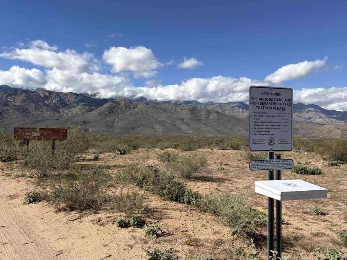
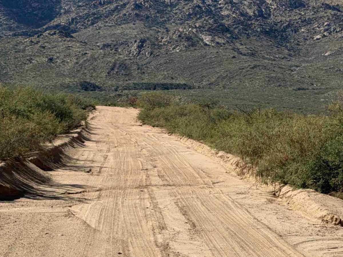
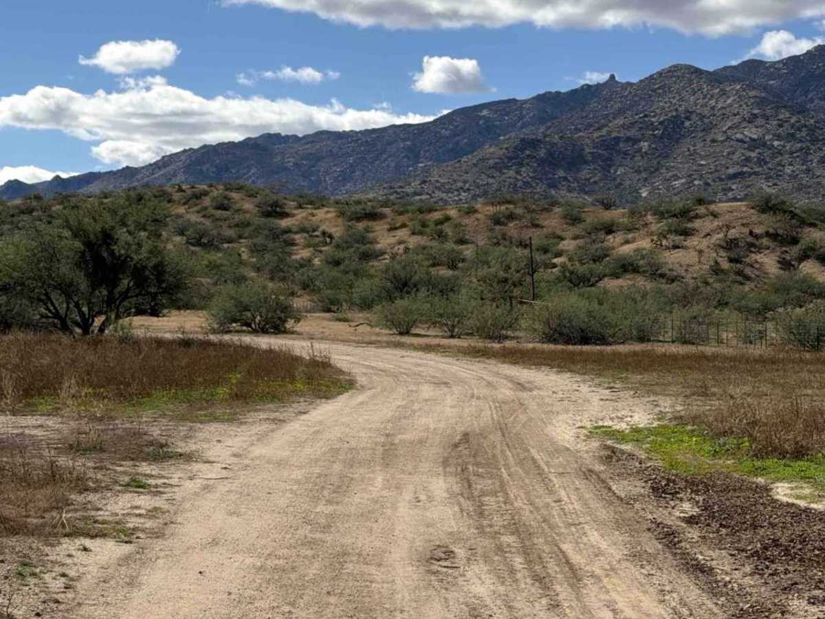
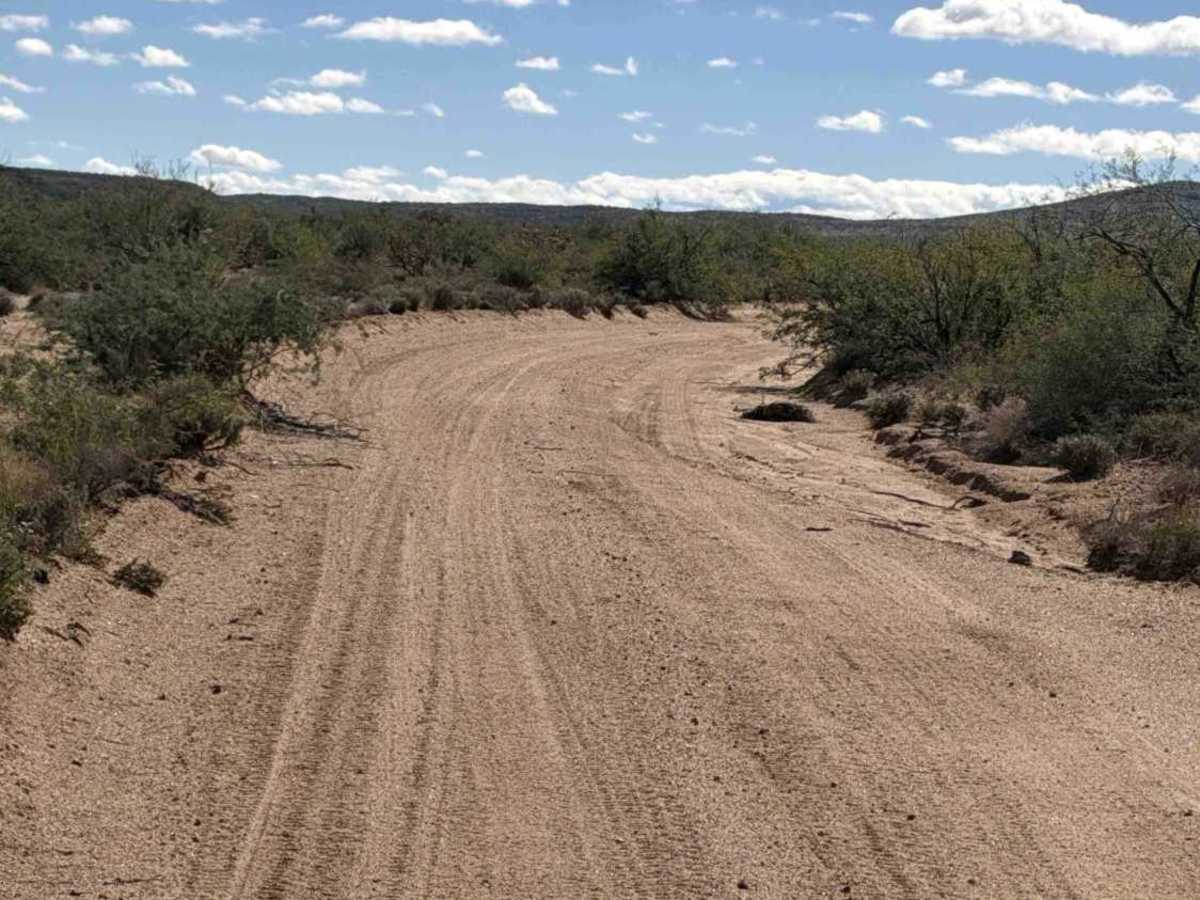
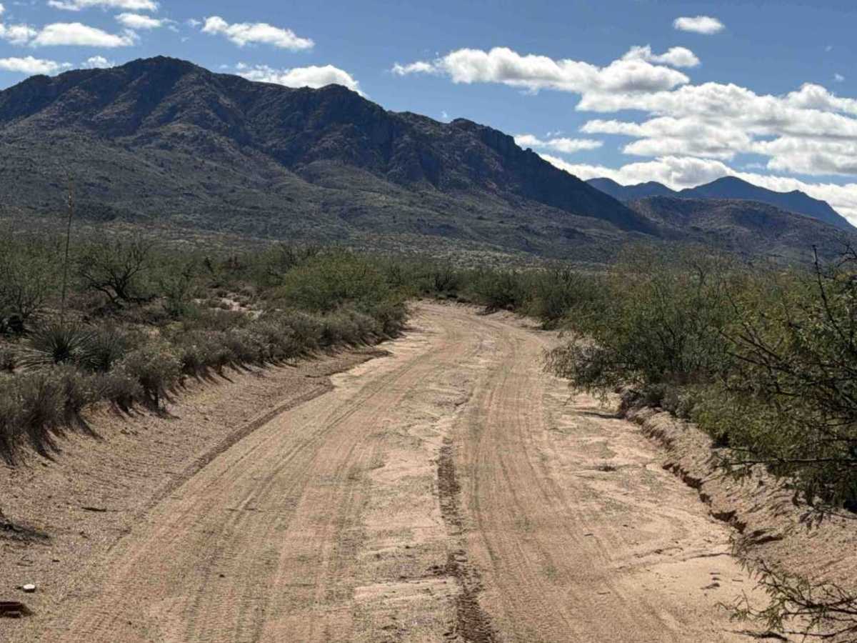
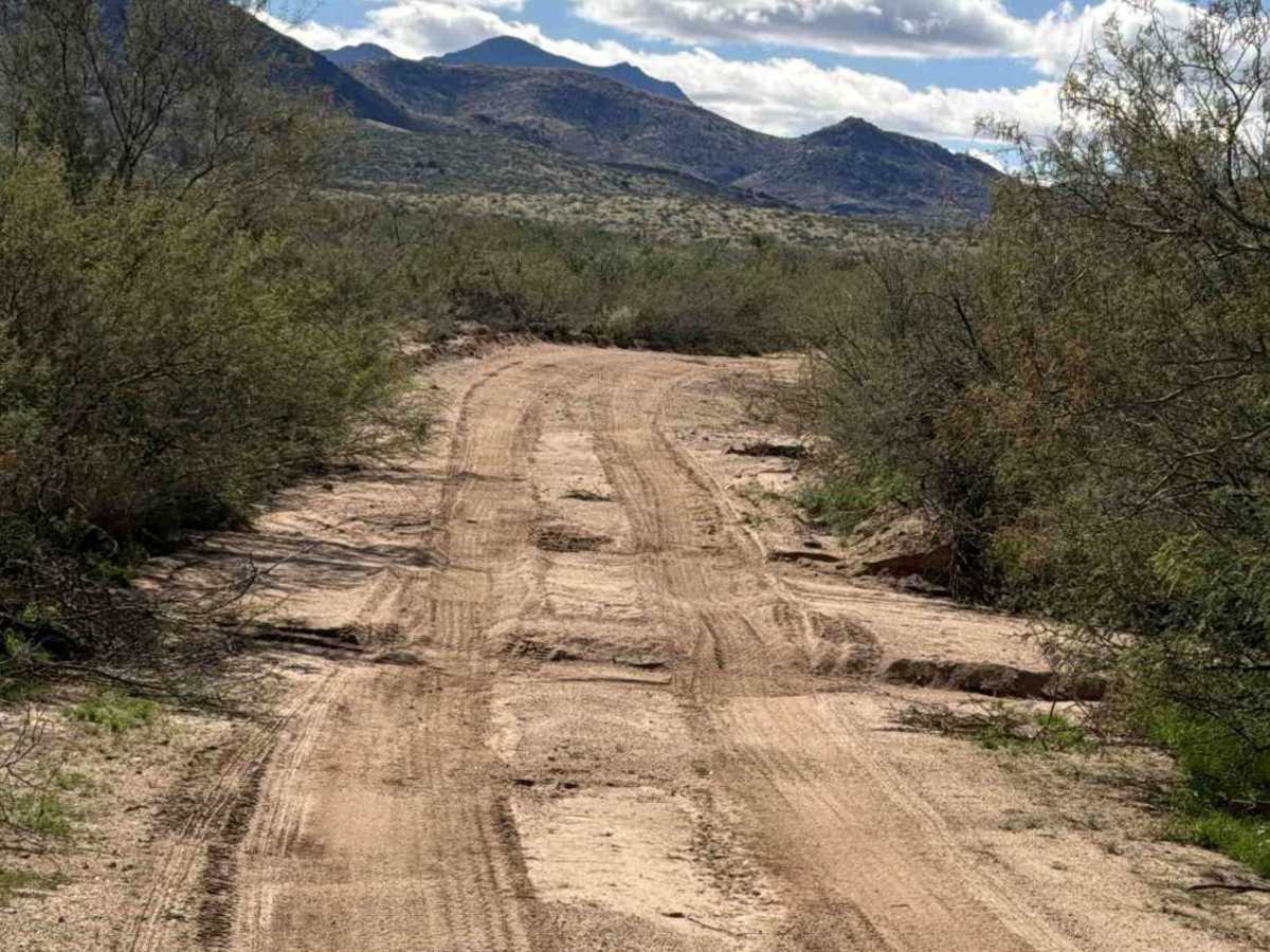
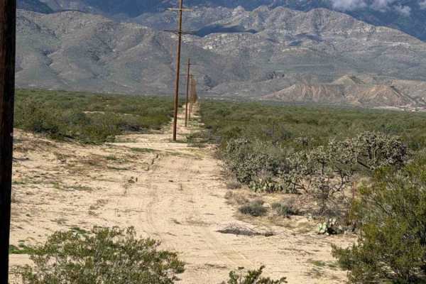
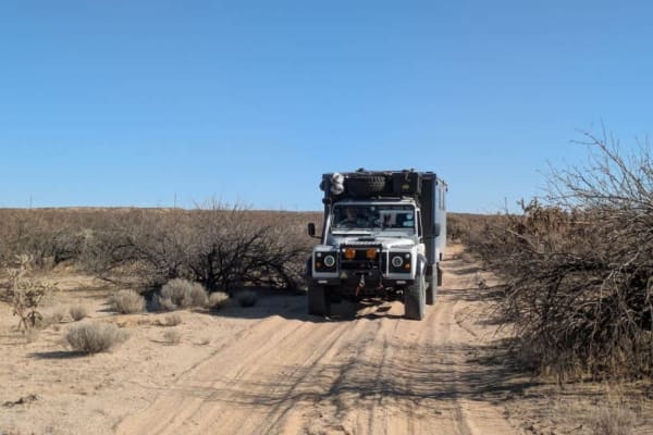
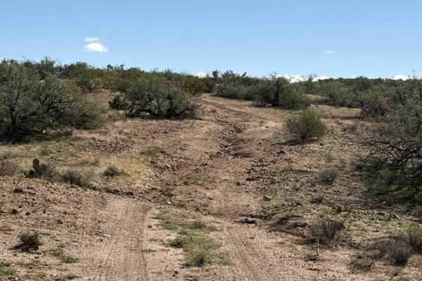
P Ranch Road is an out-and-back connector trail serving the surrounding area. It begins as a wide, two-vehicle gravel trail with gravel berms and is surrounded by desert creosote. A few water drainage ruts create bumps along the route. About a mile in, you reach a cattle corral with a sign indicating through traffic only, no stopping or camping, and a permit is required. The trail then climbs uphill and follows the base of the mountain. Nothing technical and no obstacles. Toward the south end, a complete washout requires high clearance to cross or turning around before reaching it. Water has made the southern section significantly more rugged, and beyond the washout, the trail quickly returns to its natural state and is no longer passable. 4WD high clearance recommended on the southern end.
Difficulty
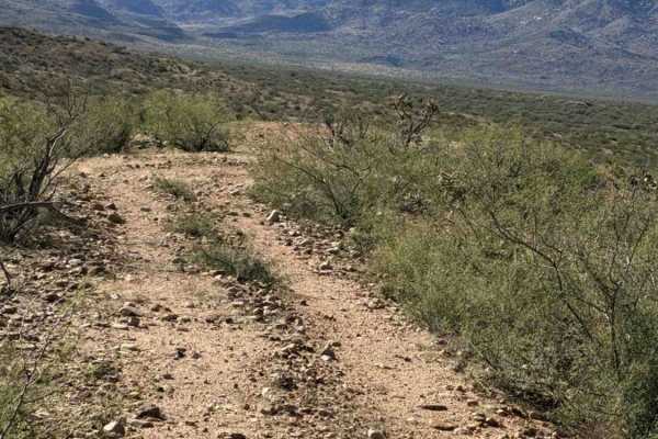
Nothing technical and no obstacles. The north side is a wide, smooth gravel road with a few water drainage ruts, while the south side has a washout. Farther south, the trail quickly becomes overgrown and narrows until access ends. The southern section also includes a wash crossing that is not recommended in wet conditions.