BLM SS1056

Total Miles1.8
Technical Rating
2Easy
Best TimeSpring, Summer, Winter, Fall
Trail TypeFull-Width Road
Accessible By
Open Trail Map

Trail Overview

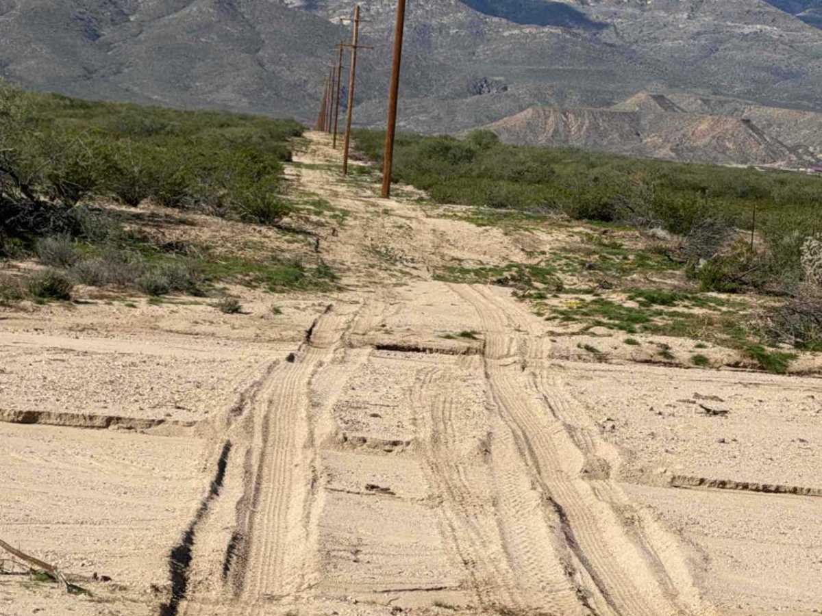
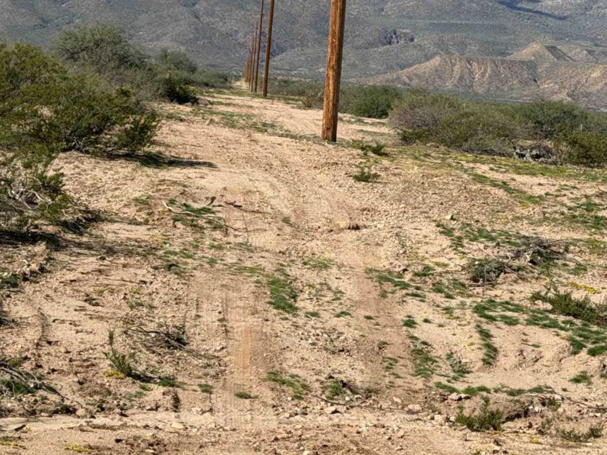
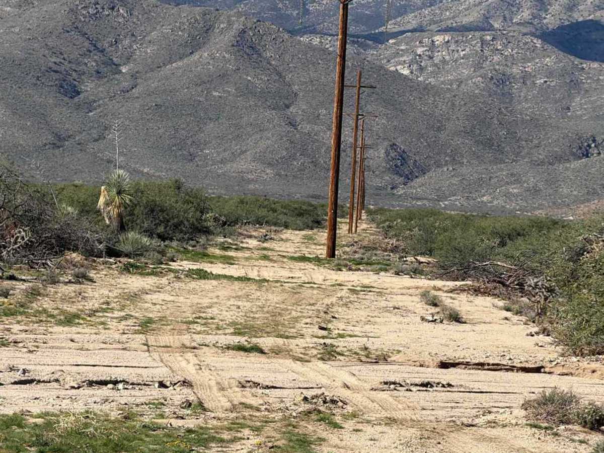
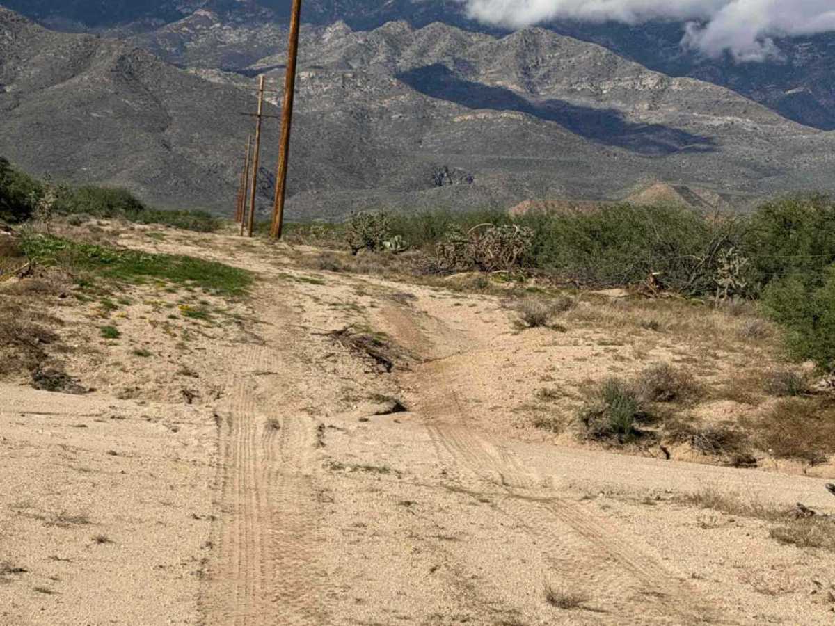
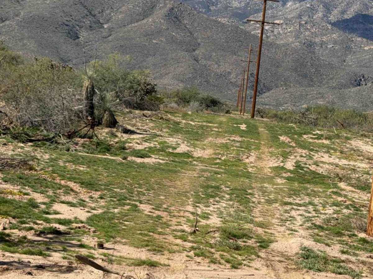
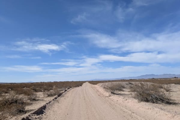
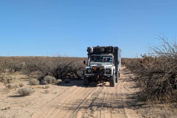
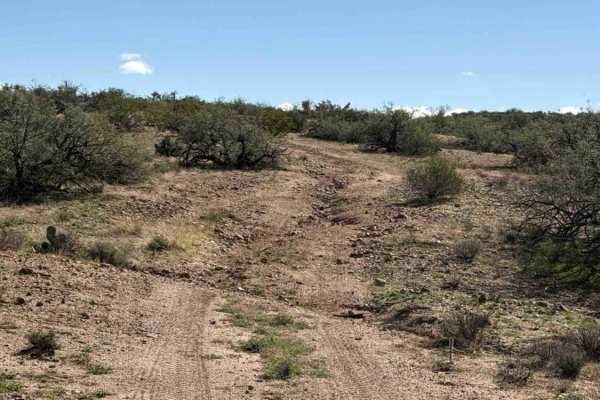
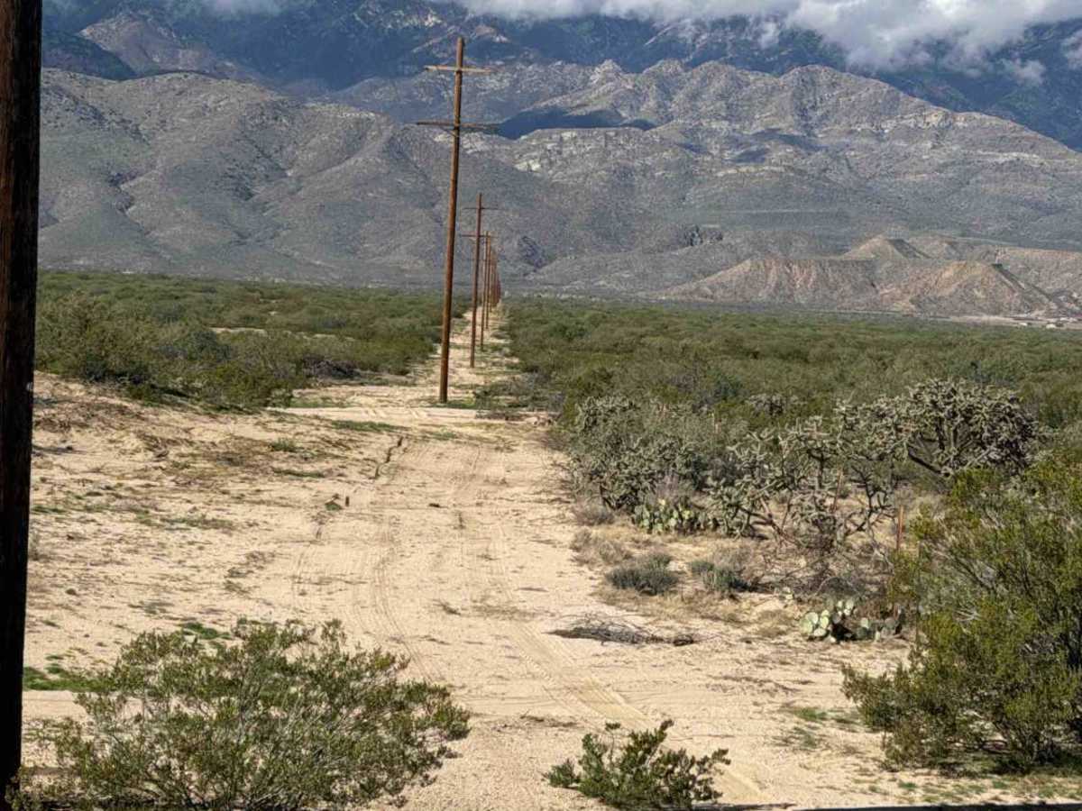
SS1056 starts west from SS1012A as a wide two-track with whoops, soft sand, and water drainage ruts. Watch the whoops, as some are deeper than they appear. Low-water crossing washes could become difficult in wet conditions. The trail follows the power lines to the State Trust fence line and is surrounded by desert creosote, yucca, and natural grass on the west side. No obstacles or technical sections. 2WD/4WD with high clearance is recommended.

Photos of BLM SS1056

Difficulty

Whoops, drainage ruts, bumps, and sections of soft, deep sand. Nothing technical and no obstacles. Not recommended in wet conditions.

Technical Rating

2

BLM SS1056 Trail can be accessed by the following ride types:

  • Single Track
  • 50 Inch
  • 60 Inch
  • High Clearance
  • Full Width

BLM SS1056 Map

The onX Offroad Difference

onX Offroad combines trail photos, descriptions, difficulty ratings, width restrictions, seasonality, and more in a user-friendly interface. Available on all devices, with offline access and full compatibility with CarPlay and Android Auto. Discover what you're missing today!

Open Trail Map