BLM SS1012R

Total Miles1.8
Technical Rating
3Easy
Best TimeSpring, Summer, Fall, Winter
Trail TypeFull-Width Road
Accessible By
Open Trail Map

Trail Overview

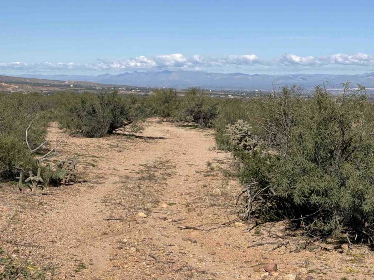
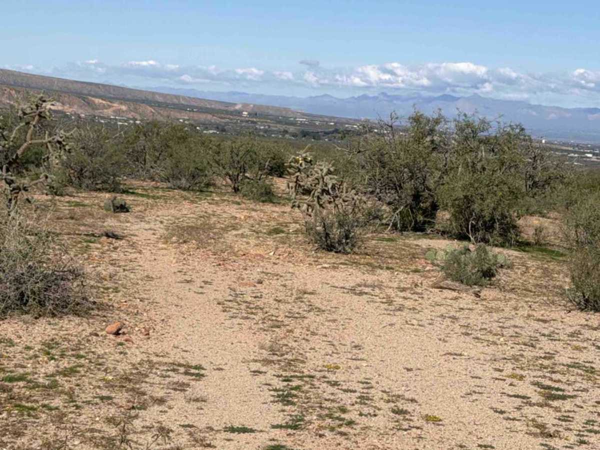
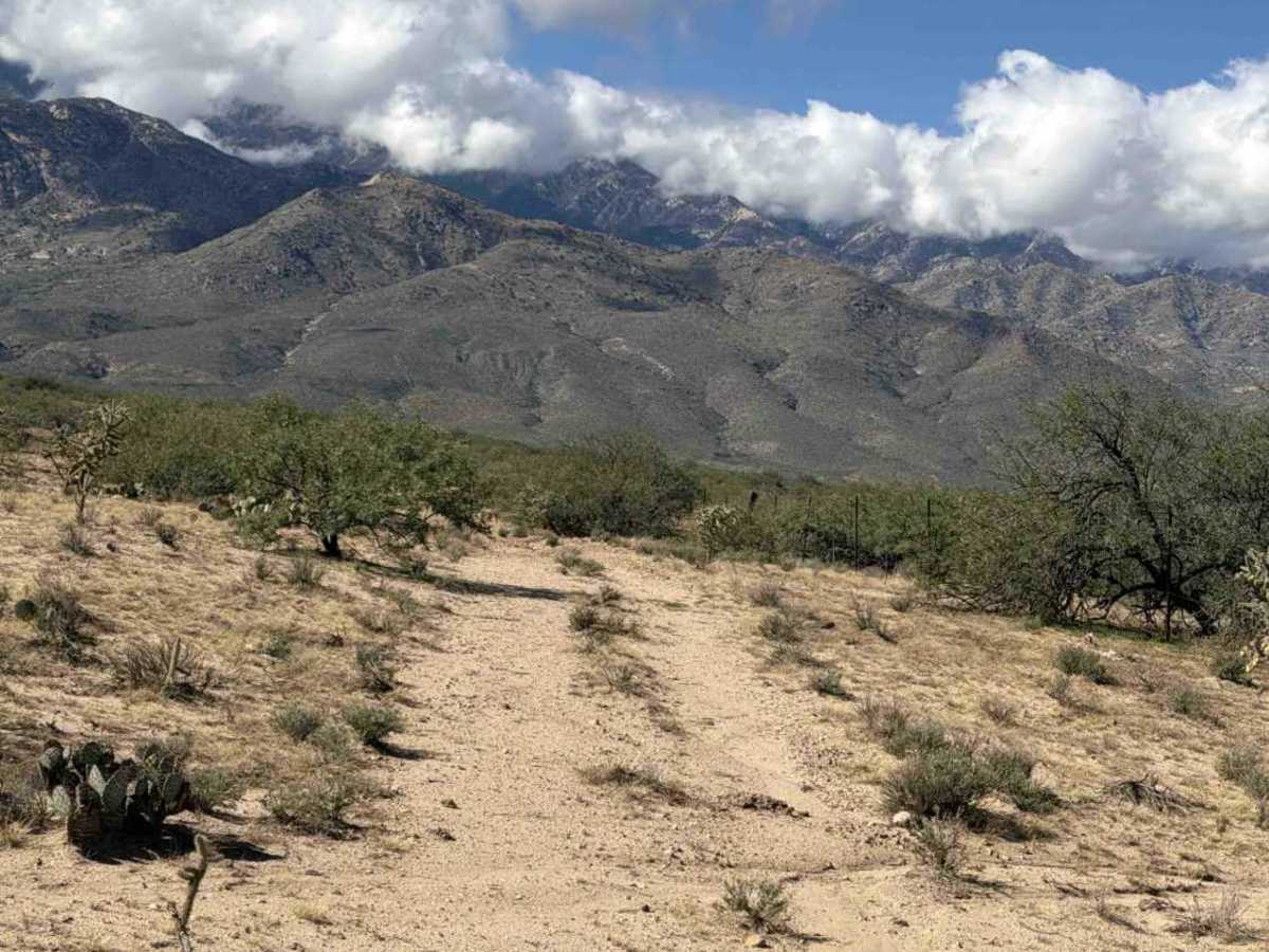
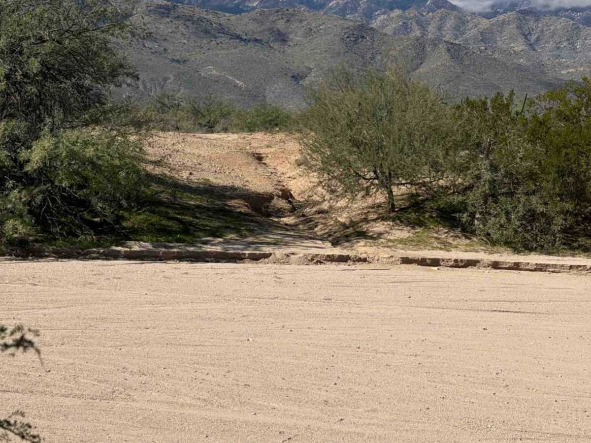
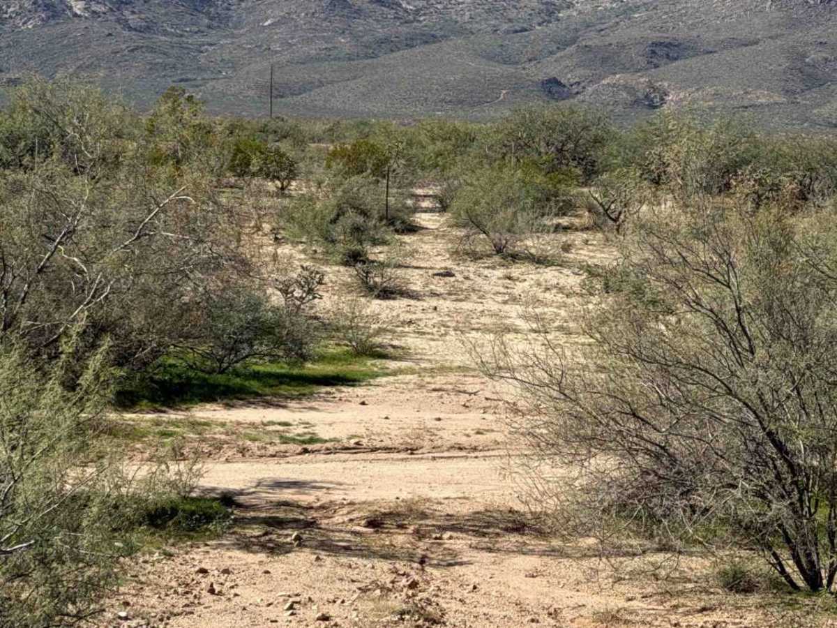
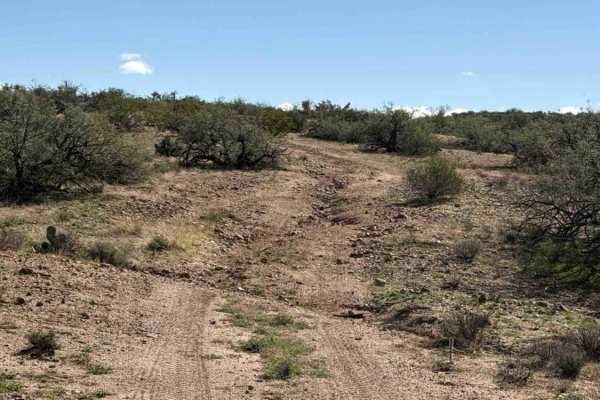
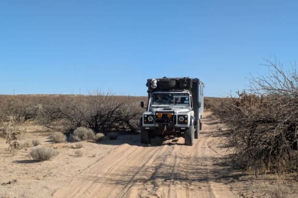
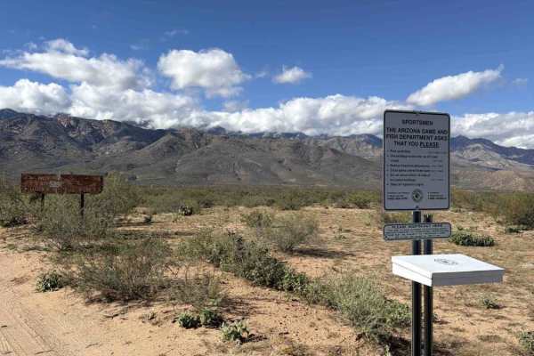
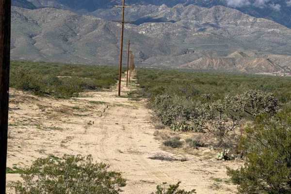
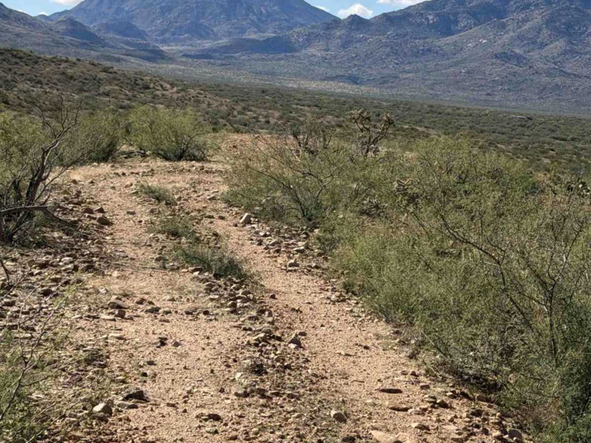
SS1012R runs east-west between Highway 191 and SS1012 as a wide two-track across State Trust land. A few loosely scattered rocks up to 6 inches are present along the route. From SS1012, follow the fence, cross the ridge, then make a hard right and descend a steep, loose-rock hill. 4WD high clearance recommended. At the bottom, make another hard left to descend a second steep, loose-rock hill. The trail then winds through State Trust land, where a permit is required, and passes a water tank. The route is surrounded by creosote, cholla, and mesquite trees before dropping into another wash and reaching a fence line. Follow the fence west until the trail exits through a gate onto Highway 191. After exiting, turn south.

Photos of BLM SS1012R

Difficulty

Steep hills with loose rocks, a deep sandy wash, a few tight overgrown sections, pinstripes, and drainage ruts. Nothing technical and no obstacles. Watch tire placement on the steep downhill turns and line up carefully if needed. 4WD high clearance recommended.

Technical Rating

3

BLM SS1012R Trail can be accessed by the following ride types:

  • Single Track
  • 50 Inch
  • 60 Inch
  • High Clearance
  • Full Width

BLM SS1012R Map

The onX Offroad Difference

onX Offroad combines trail photos, descriptions, difficulty ratings, width restrictions, seasonality, and more in a user-friendly interface. Available on all devices, with offline access and full compatibility with CarPlay and Android Auto. Discover what you're missing today!

Open Trail Map