Trail Overview
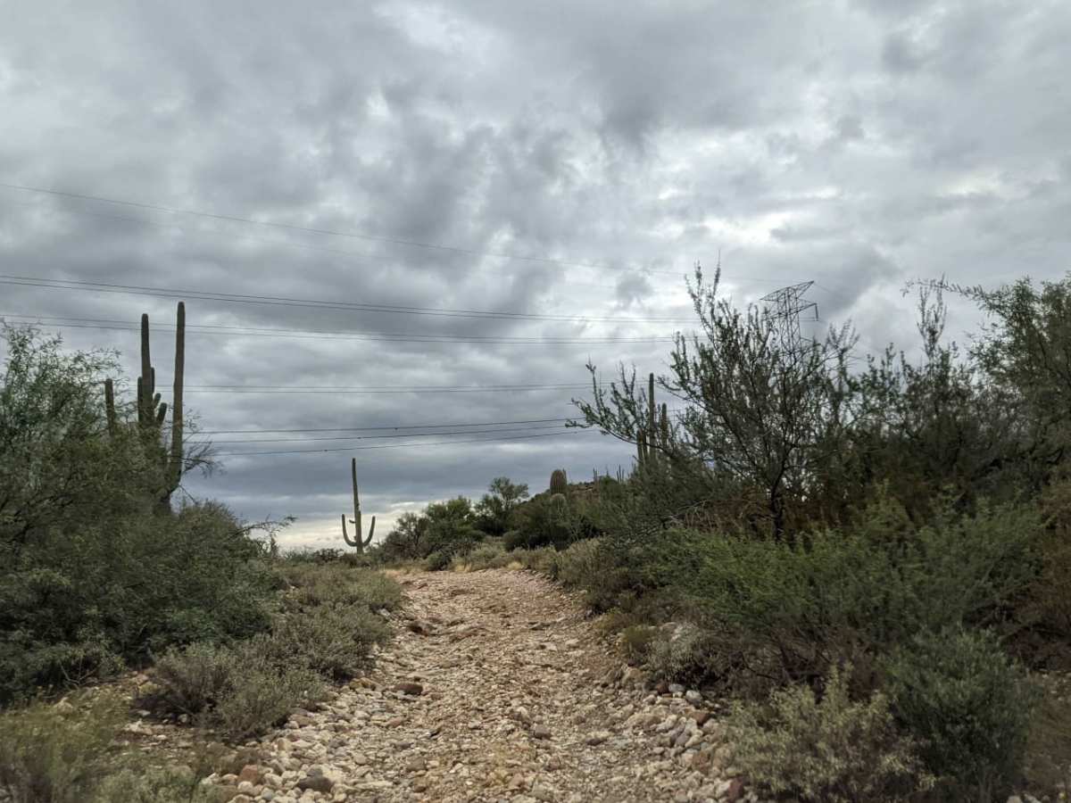
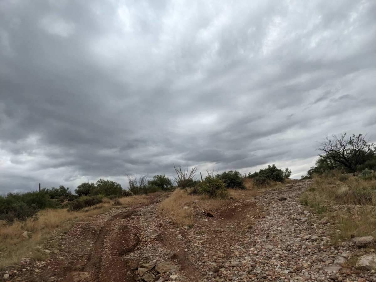
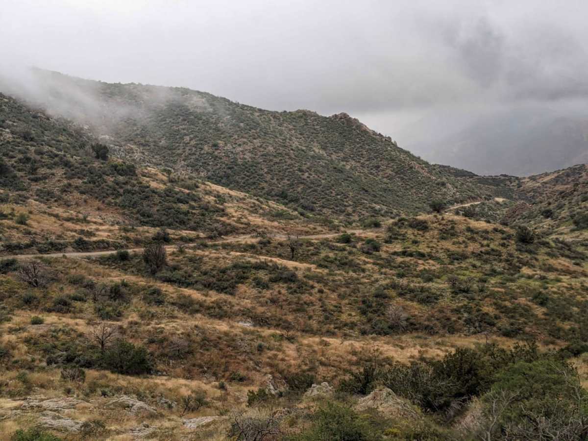
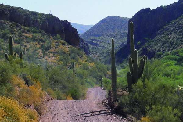
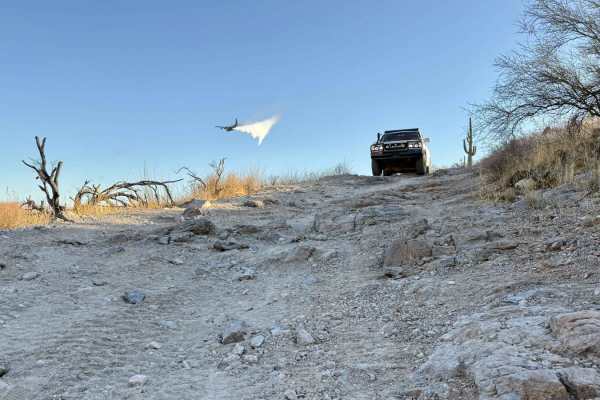
The Montana Mountain Loop is an exceptional high-desert adventure perfect for intermediate offroaders looking to escape the Phoenix valley and climb into scenic mountain territory. Spanning approximately 41 miles, this route begins in a dramatic low-altitude canyon around 2,090 feet before steadily ascending via narrow, steep switchbacks to a peak elevation of nearly 5,445 feet. Along this climb, drivers of high-clearance four-wheel-drive vehicles, SxSs, and ATVs will navigate a primary surface of dirt, loose gravel, and embedded rock. The trail features a moderate technical rating of 5, which can fluctuate depending on weather conditions, seasonal rains, and erosion. Novice drivers should exercise extra caution on the high-elevation switchbacks, which present tight shelf roads and steep drop-offs that require careful tire placement.
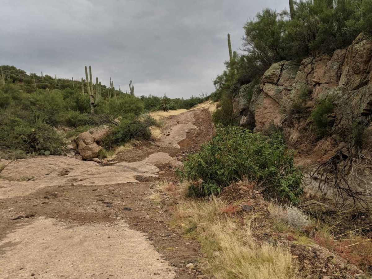
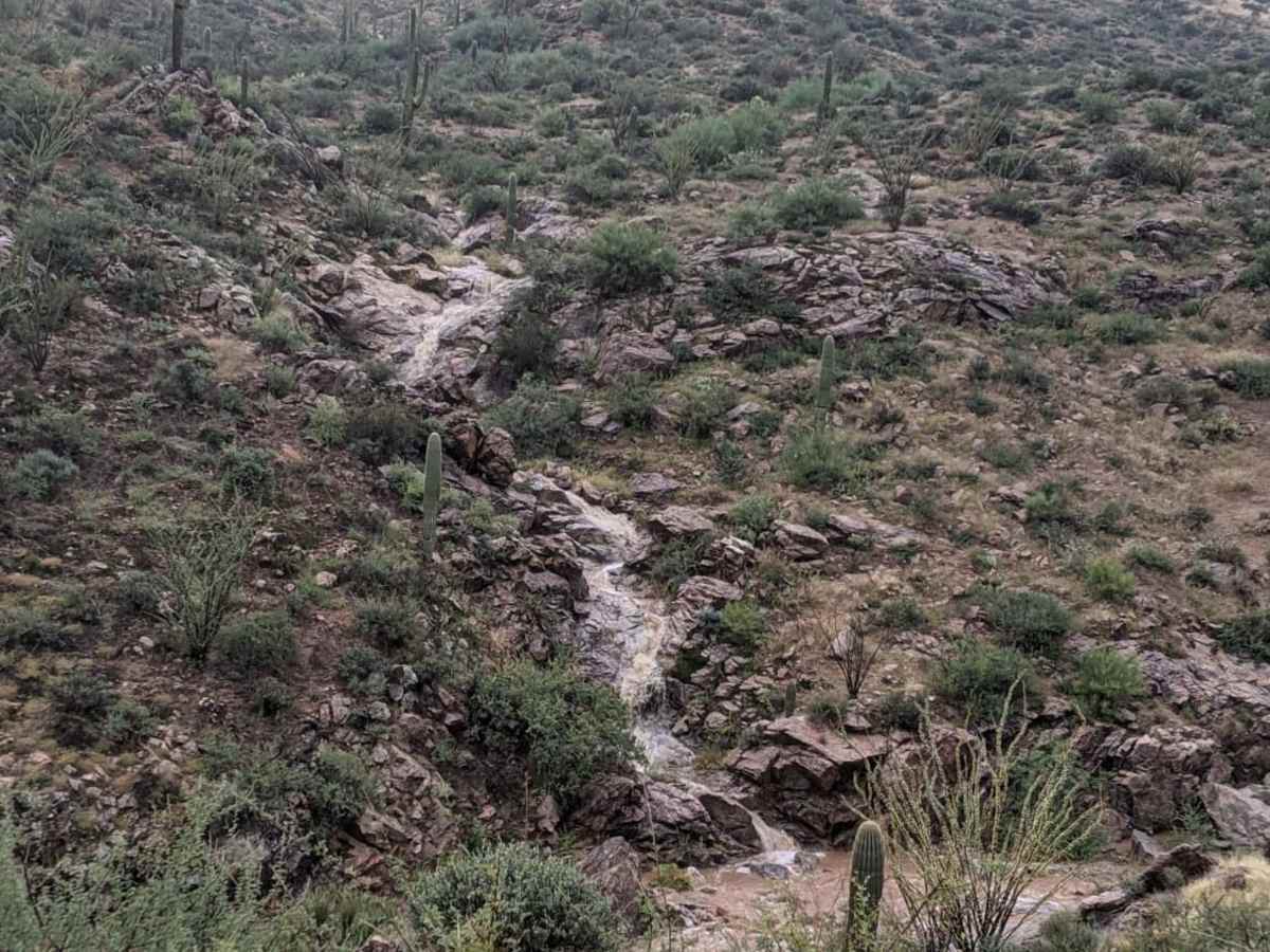
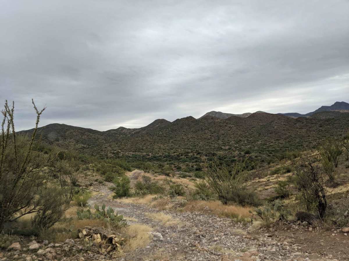
Weather and shifting water through the lower washes regularly alter the trail's terrain, sometimes swallowing sections of the route or depositing large rock obstacles that push the difficulty up. Drivers must be prepared for changing conditions, which can include navigating tight squeezes between desert brush and boulders. Using Hewitt Station Road helps complete this scenic loop, making it a highly accessible route for ATVs and UTVs seeking diverse terrain and excellent dispersed camping spots along the way. Planning an early morning start allows for a full day of exploration with a scenic lunch break at the mountain's summit, offering breathtaking panoramic views of the surrounding desert and distant peaks.
Difficulty
Obstacles change throughout the year so it could be rated a 3 one day and a potential of a 6 another. Pending the water and the placement of rocks many of the trails vary in difficulty. The lower area has had multiple trails that have disappeared due to moving water and the wash swallowing them. Sometimes due to changing conditions routes may require some tight spots through bushes, rocks and other areas to get to the trail path.
Access Description
Vehicles operating on this trail must have a valid Arizona OHV Decal. The route resides within the Tonto National Forest, so users should check for seasonal fire restrictions, temporary forest closures, and respect all private property boundaries along the way.