Maggie Mine

Total Miles6.7
Technical Rating
3Easy
Best TimeSpring, Fall, Winter
Trail TypeHigh-Clearance 4x4 Trail
Accessible By
Open Trail Map

Trail Overview

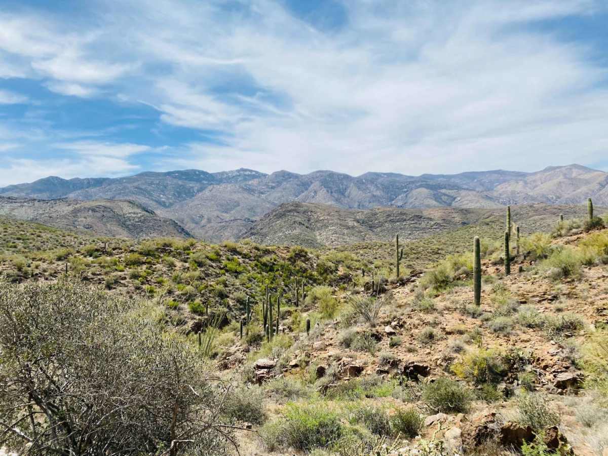
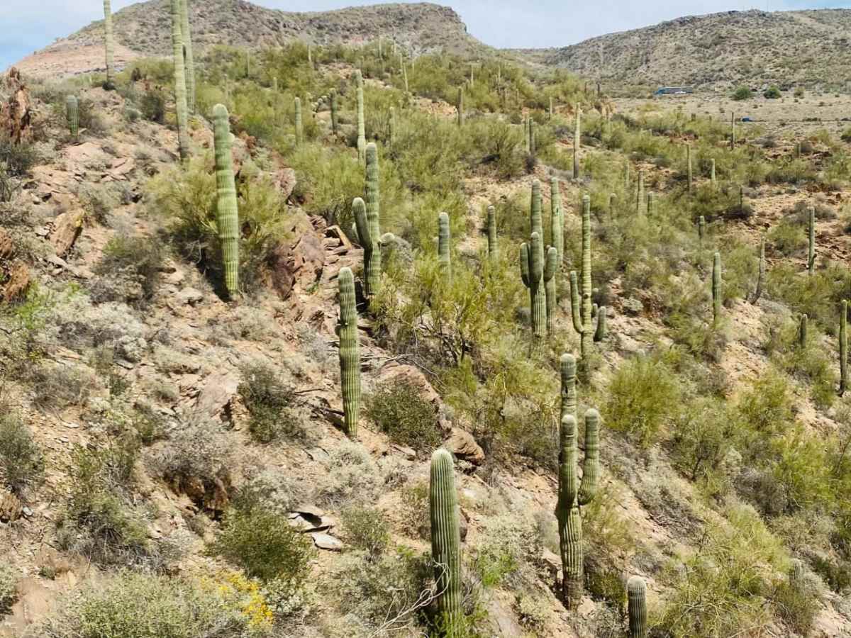
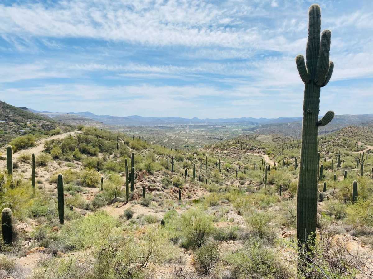
Maggie Mine is an ideal scenic route for beginner to intermediate offroaders looking for a rugged, isolated-feeling desert drive just minutes from Interstate 17 near Black Canyon City. Stretching approximately 6.6 miles through the foothills of the Bradshaw Mountains, this trail serves as a scenic, dirt bypass of the highway for those traveling toward Crown King. The route begins with a short paved stretch before transitioning to a dirt-and-rock surface that climbs from 1,993 feet to a peak elevation of 2,666 feet. Along the way, drivers are treated to sweeping views of the Castle Creek Wilderness in the Prescott National Forest, along with opportunities to spot local desert wildlife and diverse desert plant life. While the route is rated a moderate 3 out of 10, drivers should remain alert for erosion-related obstacles, off-camber sections, and areas where the trail has washed out to create ledges of varying depths. High-clearance four-wheel-drive vehicles, SxSs, and OHVs are well-suited for these challenges, particularly during the dry seasons when traction is most predictable. Historically, the route is named after the nearby Maggie Mine, an underground and surface operation discovered in 1896 by J.R. Brown within the Black Canyon-Kay Mining District. Navigating this trail offers a hands-on connection to Arizona's mining history combined with a fun, scenic ascent of 863 feet of cumulative elevation gain.

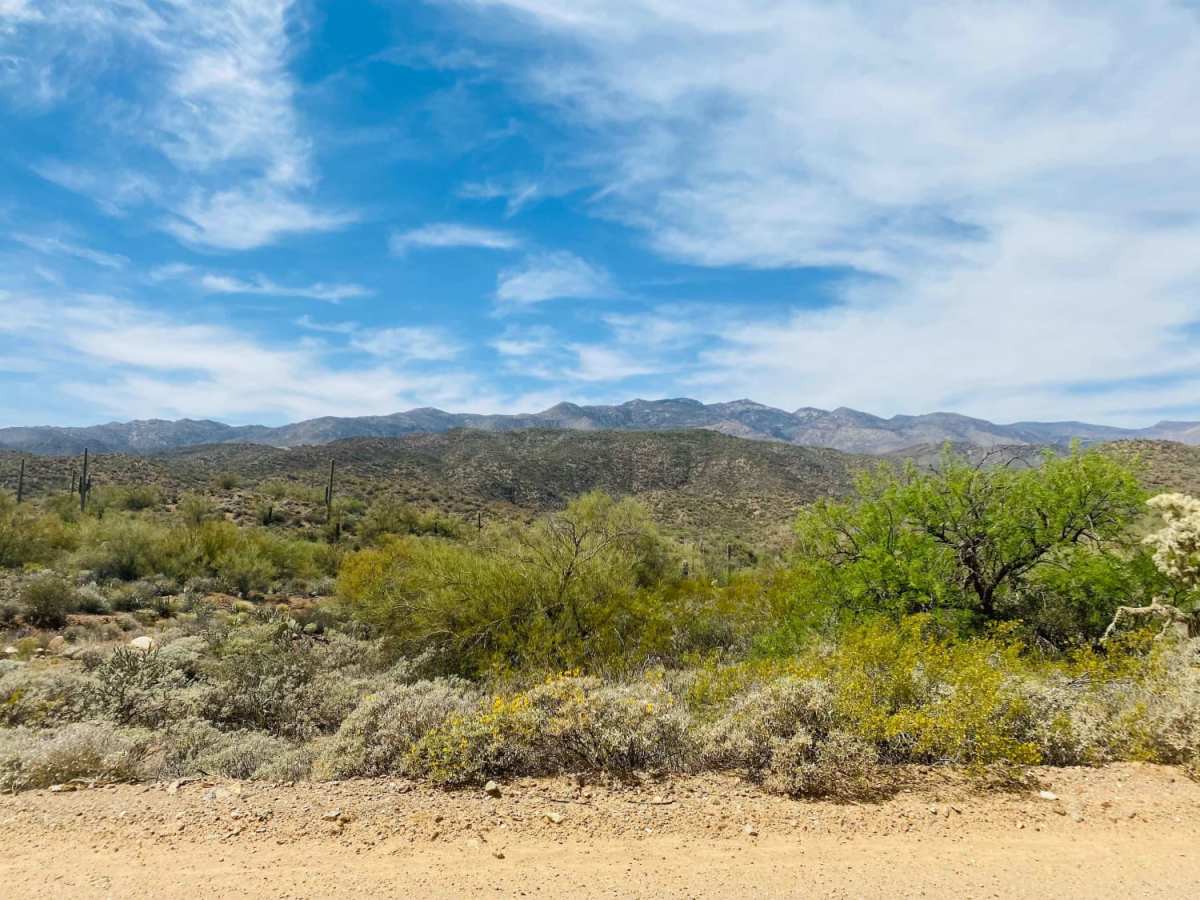
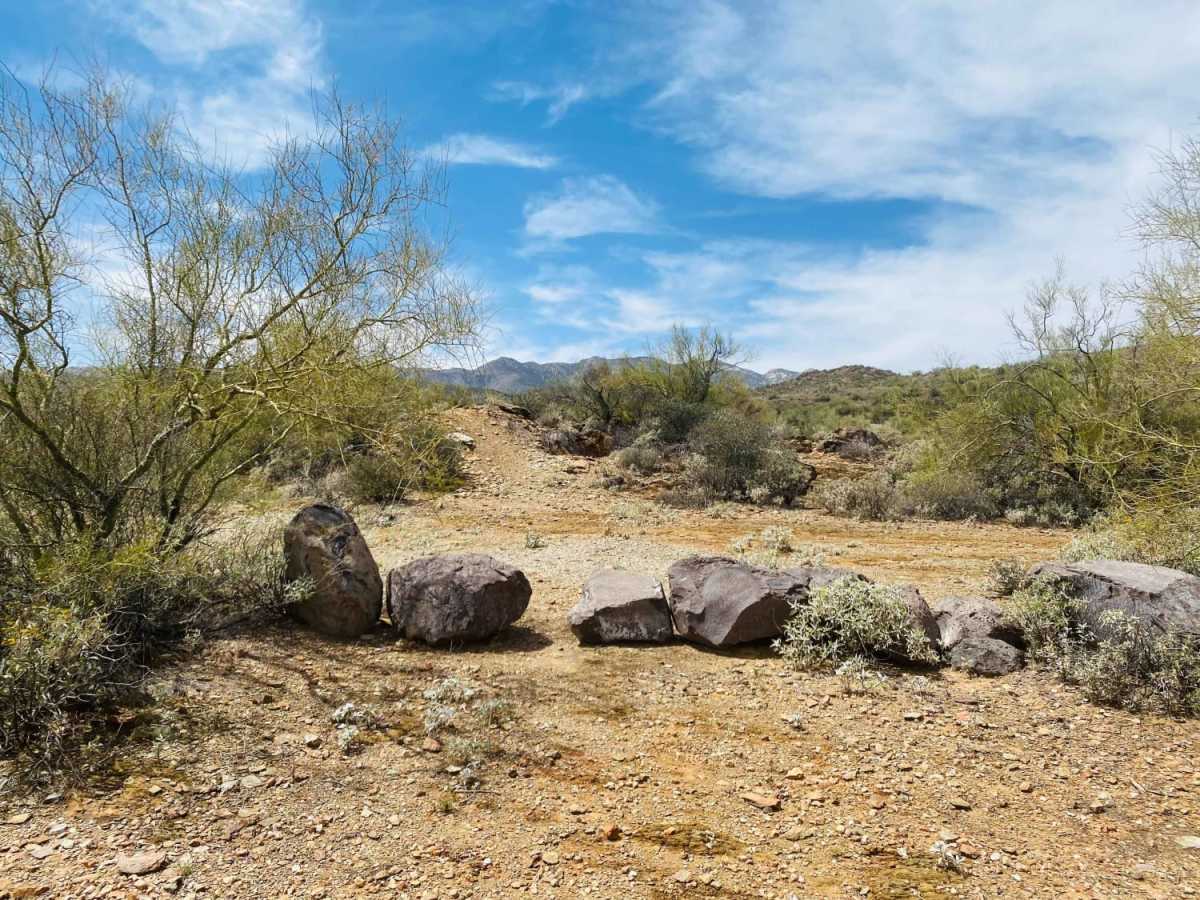
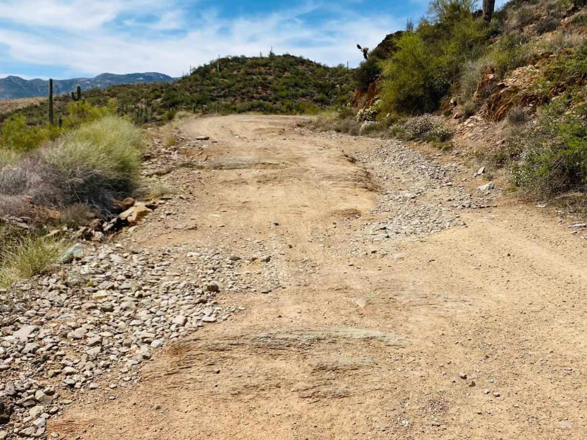
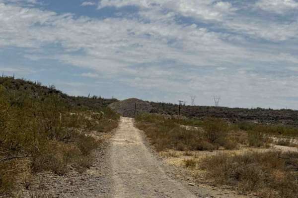
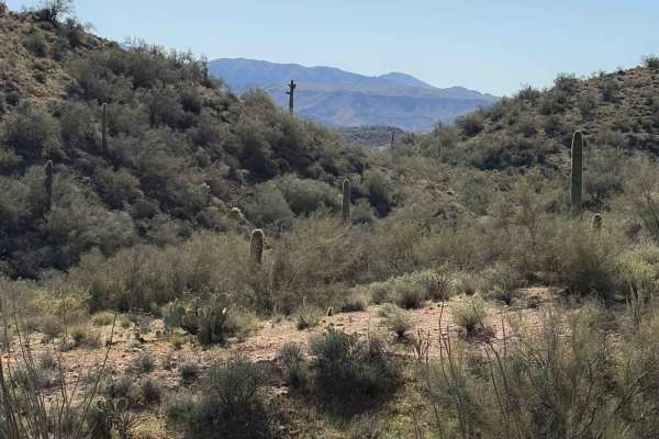
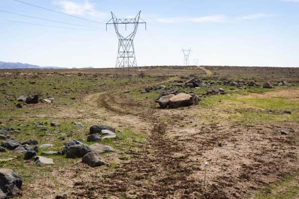
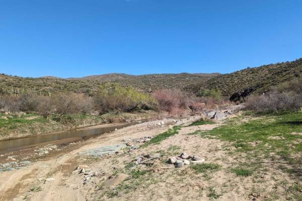
Photos of Maggie Mine

Difficulty

Starting from the South, the first mile is paved. Once on dirt, erosion appears to be the biggest obstacle for this trail. Mostly dirt with rocks and a few off camber sections. Washed out on either side of the trail in numerous places with ledges of varying depths.

History

The trail is named after the Maggie Mine, a historic surface and underground mining operation located near Black Canyon City. First discovered in 1896 by J.R. Brown, the site was historically associated with the Black Canyon-Kay Mining District, which now sits within the Tonto National Forest.

Technical Rating

3

Status Reports

Add Status Report
James
Aug 29, 2026
1996 jeep Grand Cherokee (zj)
Open
Rough/DeterioratedNormal
Trail was good but, definitely more bumpy and eroded from the last time I was on it. Nothing crazy just the pesky embedded rocks and some loose stuff. Nothing most trucks or suv can't do with some decent stock ground clearance. It's a fun quick trail to do if you don't have a lot of time or just want something quick to do. It took me just over an hour and we stopped a few times and explored some side trails etc. Could have done it closer to 45 minutes if we didn't stop or explore.
Jeep 4 Dirt
Jul 31, 2026
Open
Five miles may not sound like much, but Maggie Mine Road packs rugged terrain, mountain views, and classic Sonoran Desert scenery into one short off-road adventure near Black Canyon City, Arizona We believe its the best short trail near Phoenix Arizona. Link to our video review of the trail: https://youtu.be/mIcnOqOhIkY
Eddie Tarango
Jul 14, 2026
2026 Toyota 4Runner
Open
Rough/Deteriorated
Great trail just the right amount of technicality. I will say it was more washed out than expected maybe due to the recent rains. There were some areas where we needed a spotter but made it through just fine in a completely stock 26 4Runner TRD Offroad. Minor scratches on front valence and mud flaps.
Maia H
Apr 19, 2026
2024 Ford Bronco
Open
Normal
Went north to south. It is a pretty bumpy/rocky trail but you get such great views of the Bradshaw mountains. There are enough ruts from erosion that has you picking the better lines. No real obstacles though. The view alongside I-17 is pretty amazing to see how they built that highway. Too bad it’s so short.
Ryan Olavarria
Mar 20, 2026
Open
Normal
Joe P
Feb 14, 2026
2005 BMW F650GS Dakar
Open
Normal
Took this road right out of Black Canyon City. Starts paved, then smooth dirt. Once you cross the cattle guard it gets rougher. For an adventure bike is pretty easy, but you do need to carefully pick your lines around the ruts and rocks for nearly all the road till pavement at Crown King road. On this day dirt was solid with nothing loose. After the first climb we opted for the right cut off rather than the full distance to BC1274 as where the trail switches back. That seemed to be filled with large loose rocks. Anyway we tool the right cut and crossed the drainage and rode on. This route could be tough for 4 wheel vehicles due to ruts crossing the road nearly constantly. It is also constantly climbing or descending.
Ray H
Oct 04, 2025
2024 Jeep Wrangler
Open
More difficult than expected, probably due to recent ran, Glad we were driving a Rubicon. Would have worried more in our 4Runner off road with ground clearance. Nice run, continued on to Cleator.
James Zalaznik
Feb 03, 2025
2004 Jeep Wrangler
Open
Normal
Great beginner trail to off-roading! Should’ve aired down a little bit for comfort sake but the TJ pulled through.
Michael desertwild_
Oct 25, 2024
Open
Normal
trail is clear if obstruction, normal conditions, some washouts, rocky, but nothing technical
Mike Martyn
Sep 09, 2024
Obstructed
WashoutBroken Down Vehicle
Trail not EASY…Many bad ruts/washouts and obstructions
Justin Blas
Jun 09, 2024
2003 Toyota 4Runner
Open
Normal
Was in great condition, no trash around the area and definitely shown me what my stock 4runner was capable of.
Austyn Johns
Feb 25, 2024
Open
DustyRough/Deteriorated
Very fun trail for my stock tacoma. Lots of ruts and rocks almost all the way down the trail. You start off on the north side where crown king road is then turn off onto maggie mine rd and follow that all the way till black canyon city. Saw a couple mines in the mountains and plenty of fun turn-offs to do. Took a short cut on black canyon trail that had a big hill and big rut but my truck made it up . I would add this to your list!
Matthew Kvacik
Mar 03, 2023
2013 Jeep Wrangler
Open

Maggie Mine Trail can be accessed by the following ride types:

  • Single Track
  • 50 Inch
  • 60 Inch
  • High Clearance

Maggie Mine Map

The onX Offroad Difference

onX Offroad combines trail photos, descriptions, difficulty ratings, width restrictions, seasonality, and more in a user-friendly interface. Available on all devices, with offline access and full compatibility with CarPlay and Android Auto. Discover what you're missing today!

Open Trail Map