Trail Overview
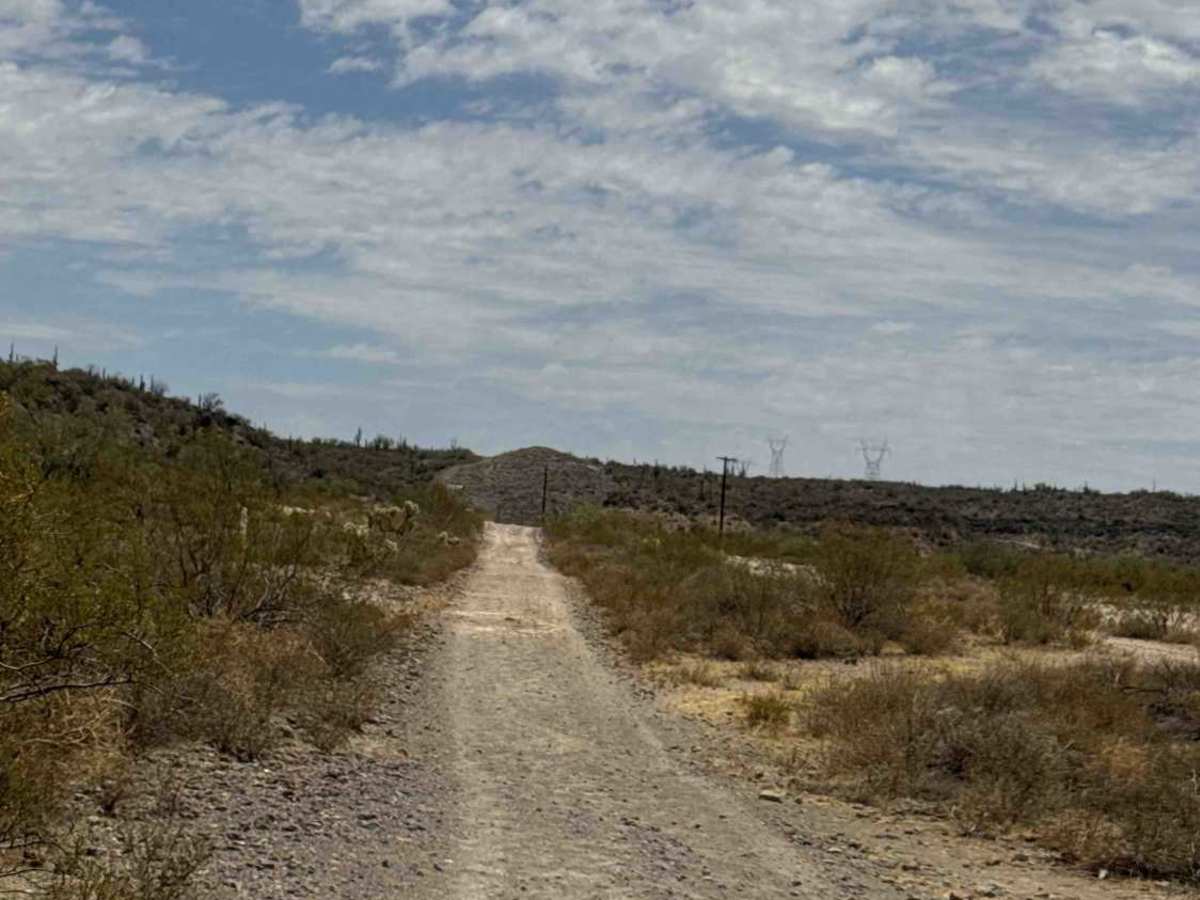
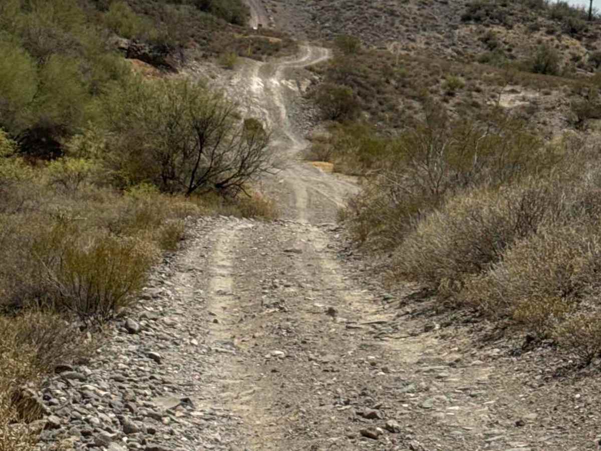
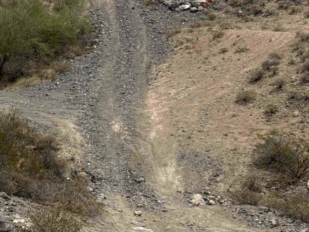
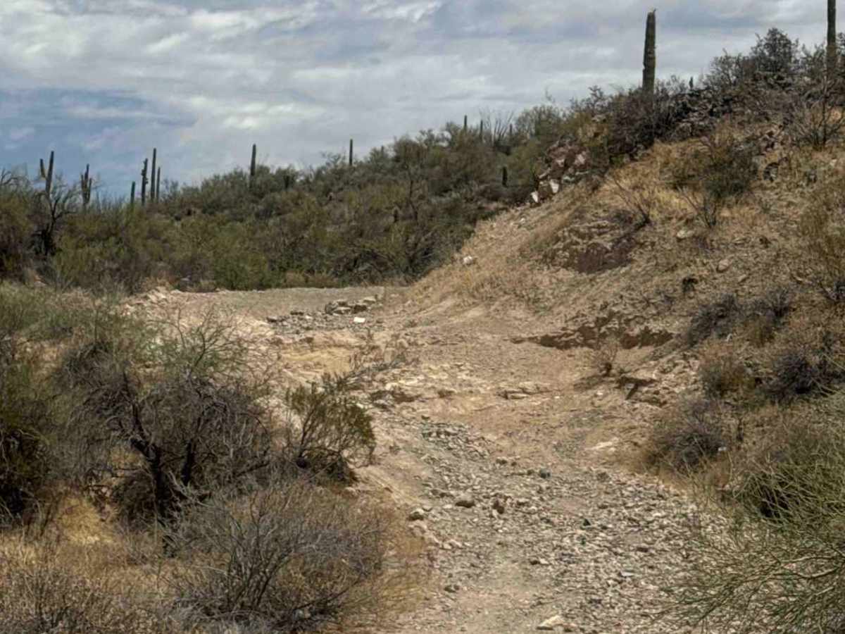
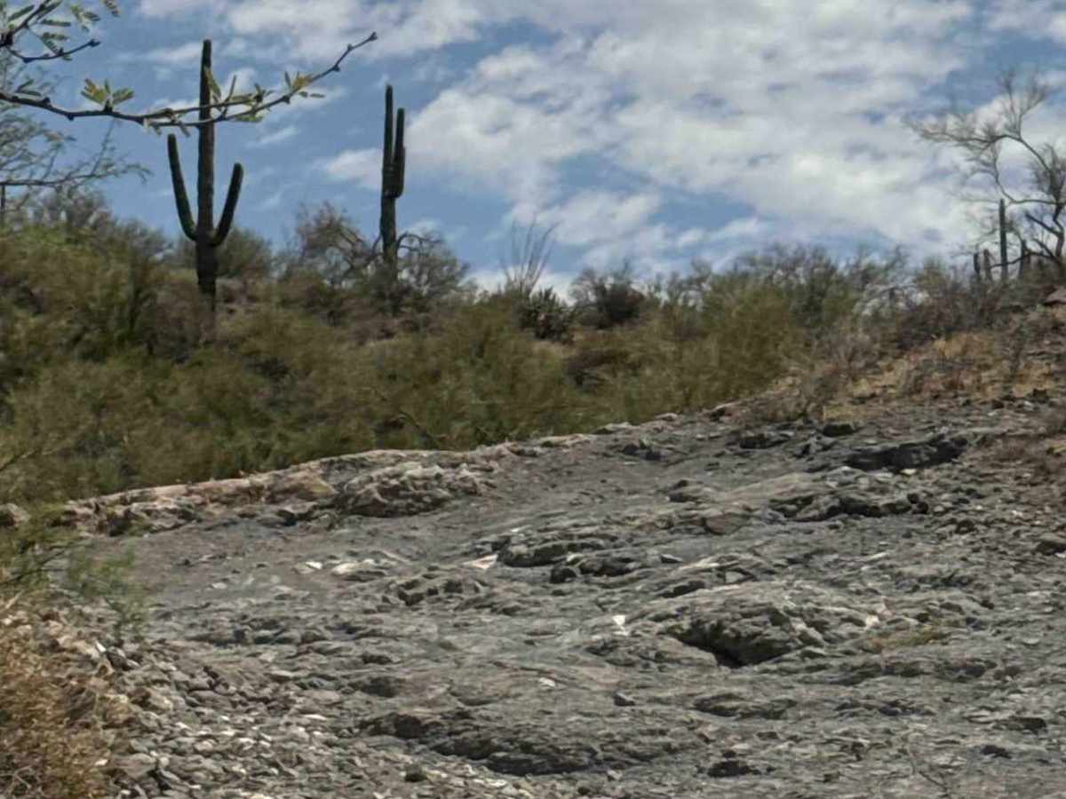
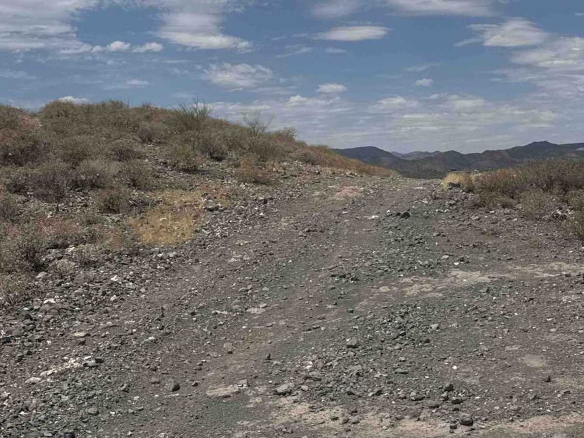
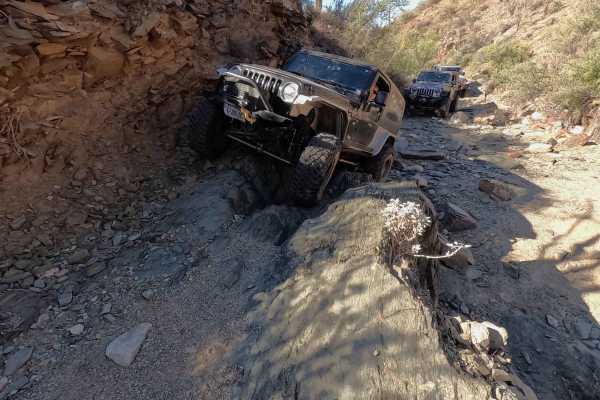
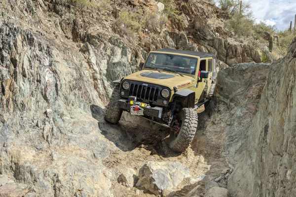
The original trail entrance from the I-17 frontage road has been permanently locked. There is currently no signage directing drivers to the new access point. Return to the frontage road, turn left, then make an immediate left into the hidden access road where the State has relocated the gate. Enter through the gate, close it behind you, and continue east to reconnect with the original trail. A State Trust Land Permit is required. The trail begins by following the gas line markers south and initially feels like an easy two-track. After approximately 0.25 mile, you'll arrive at the first major obstacle—a steep hill with two options. The direct line climbs straight up over very large loose rocks and appears to have very little traffic. We chose the left route, assuming it was the bypass, although both options remain technical. The left line begins with an immediate 15–18 inch off-camber shelf near the edge before wrapping around the hillside. The next obstacle is a 24-inch rock ledge covered in loose gravel. We recommend 4-Low, and lockers if equipped. The left line provides a more controlled off-camber climb, while the right line requires climbing directly over the ledge with enough clearance to protect your differential and underside. Once past the ledge, continue along the left line through a narrow section, or commit to the steeper off-camber route before climbing the loose rocky hill to the top. Maintain plenty of spacing between vehicles or passengers walking up. The loose rock can easily be thrown downhill under tire spin, making it hazardous for anyone walking or spotting behind. At the top, turn left and continue south to another extremely steep descent. A significant washout has developed at the bottom, so walk the hill down & lay eyes on the obstacle to the wash before descending. If the washout has become impassable, backing up this very steep hill is going to be extremely difficult. Seasonal storms continue to reshape this section, so conditions may worsen after continued heavy rain. Once through the washout, the trail immediately climbs up the steep hill on the opposite side. consisting of loose rock and gravel before leveling out near the State Trust boundary, where you can continue south onto the connecting trail.
Difficulty
A permit is required. This trail features large loose rocks, steep climbs and descents, a 15 to 18-inch off-camber rock shelf, a 24-inch rock ledge, narrow off-camber sections, loose gravel with limited traction, and a washout at the base of a steep descent. A high-clearance four-wheel-drive vehicle is required, with low-range gearing, lockers, and a spotter strongly recommended for improved control and traction. The route may be impassable during bad weather.

 Offroad