Eric L
Sep 19, 2026
Obstructed
Washout
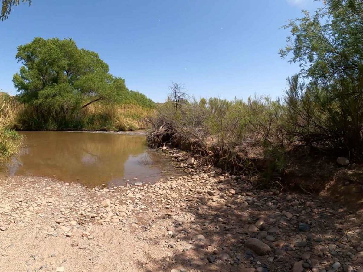
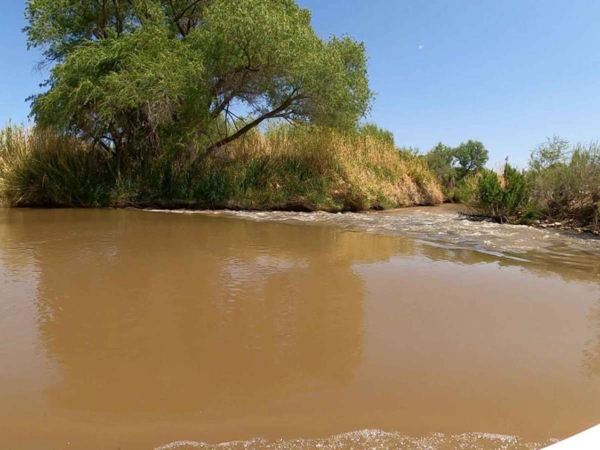
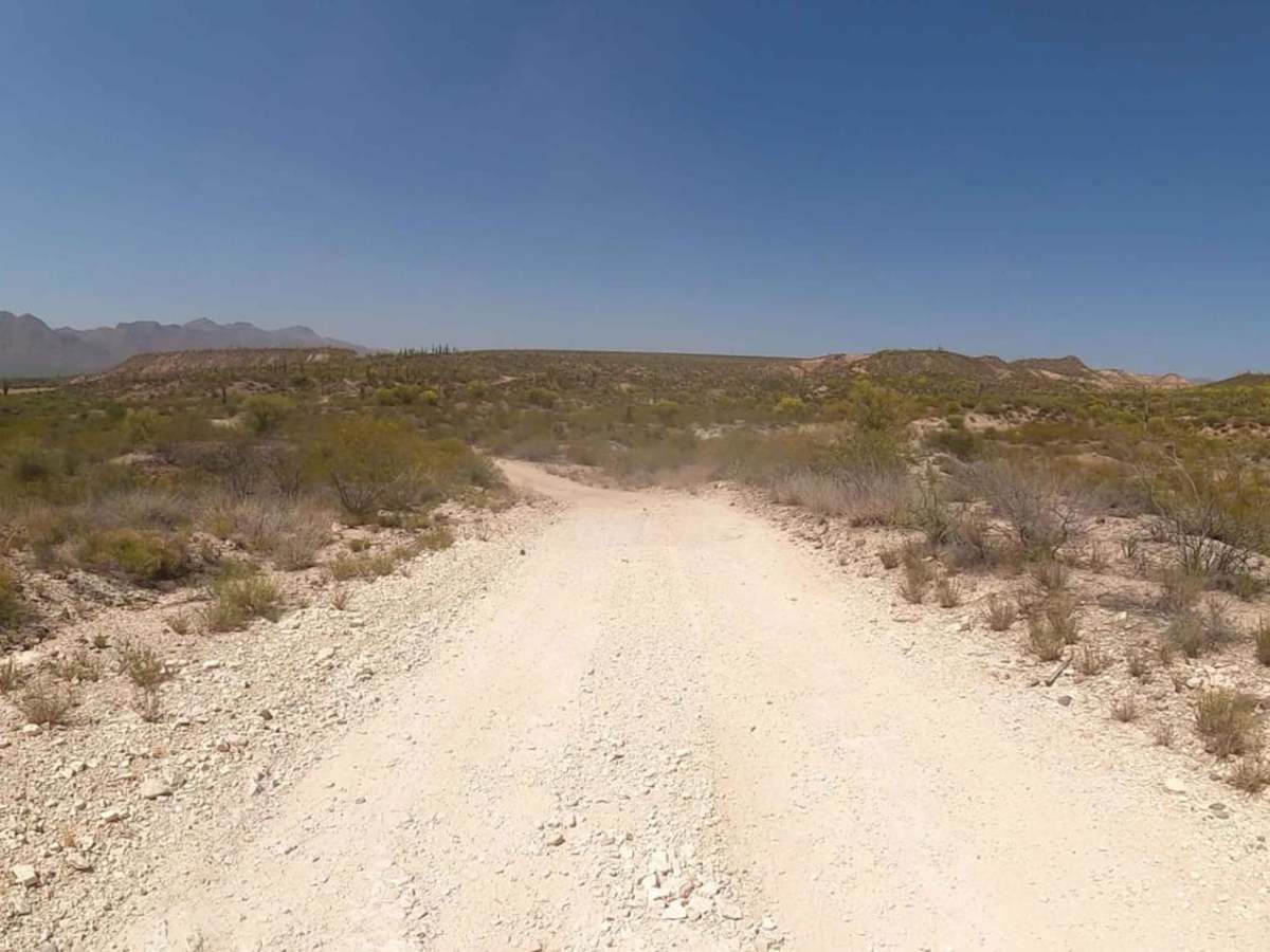
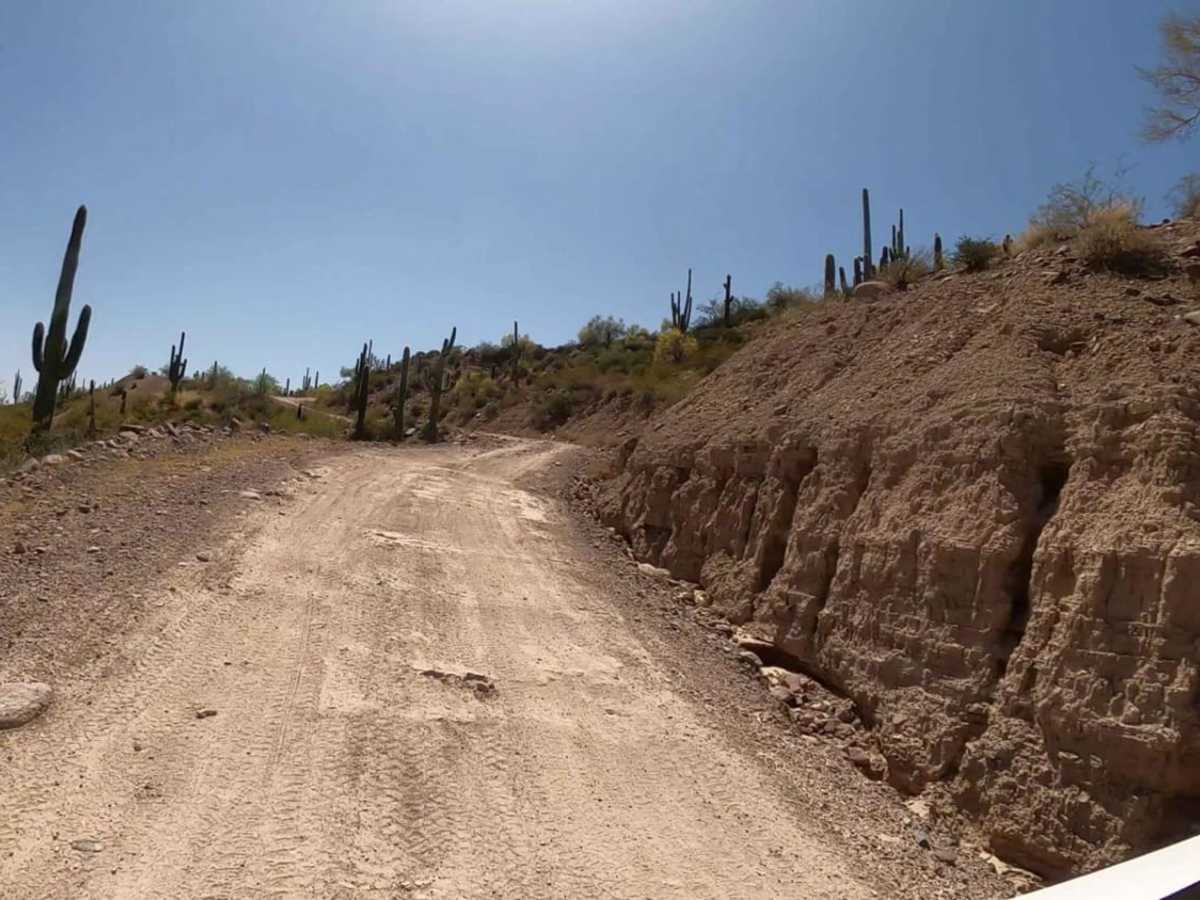
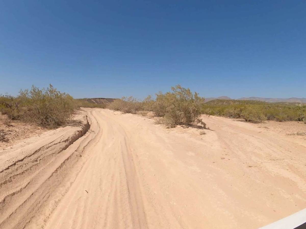
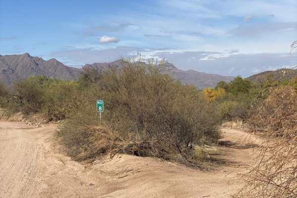
Entrance to FS 205 temporarily closed signs up. They were moved to the side and folks have been doing the trail. No issues driving the road. Lots of dirt on the road but not a problem. When 205 became dirt it was an easy drive. Some wash outs on the wash crossings but not an issue for any 4x4. When trying to cross the verde is where the adventure got interesting. The water was running and a little too deep for my 32 stock tires and no lift. Didn’t want to risk it. Will try another time to get to sheep’s bridge. The Dam was letting out a good flow of water. Encountered some SXS coming back and it was even worse before you get to the bridge.
Michael C
Jul 28, 2026
Open
Muddy/Wet
Water crossing at verde river was above 37 inch tires. Once over, trail was fully passable to sheep’s bridge. Almost stepped on a diamondback. Watch your step.
Eric Yi
Jul 04, 2026
2025 Jeep Gladiator
Open
NormalDusty
Just a dirt road used to hit other trails
Mark Guerrero
May 23, 2026
Open
Aaron Anderson
Feb 22, 2026
Open
DustyRough/Deteriorated
Really rough in places. Lots of loose rocks on hill climbs. Lots of exposed embedded rock throughout the trail that makes for a slower bumpy ride. A couple water crossings. Please don't litter, we picked up lots of beer cans. Two crested saguaros on the trail if you keep your eyes open. Trail is getting significantly worse over the last year. IMO, still a great trail..AA
Raunacq raaj
Nov 09, 2025
Open
Rough/Deteriorated
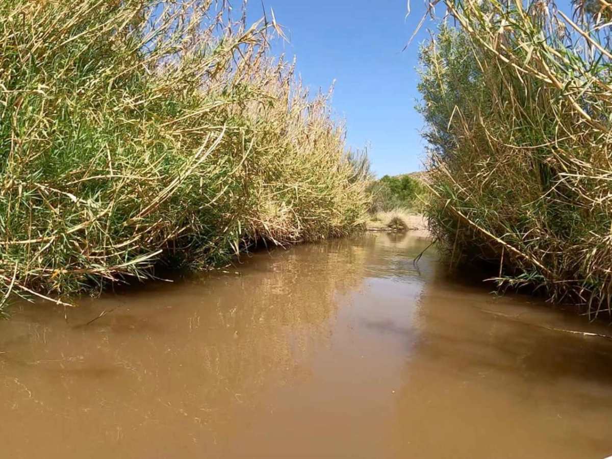
Great views and small river crossing at Verde river. Not bad flow rate from the dam was very low. A lot of mosquitos this time :)
Randall Flick
Sep 21, 2025
Open
Rough/Deteriorated
The major water crossing is dry. The trail itself is really deteriorated compared to previous years. the majority of mileage from the river crossing to Sheeps Bridge is over rocks from sharp ones to baby heads sticking out from erosion of the trail. 2 hours on the trail is more realistic. Between the washboards and washouts on Horseshoe dam road and the deterioration of this trail, bb may be a faster route.
Kevin Yang
Aug 16, 2025
2024 Lexus GX
Open
DustyWashboard
At the time of posting, zero water. Some areas can be tight for a full size vehicle (just with branches) but all of it easy to tackle with a stock off-road capable vehicle.
Aaron Landers
Aug 09, 2025
2022 Toyota Tacoma
Open
DustyNormal
Easy trail. No running water anywhere up until the Sheep Bridge.
Rob Nelson
Aug 02, 2025
2016 Jeep Wrangler
Open
NormalDustySnow/IceWashboard
The trail was in good condition, lots of varying terrain and difficulty. 99% of the trail I was able to do in 2WD, so grip is good. Pick a good line and stay consistent in the power. 🤙🏼
Alex Cost
Jul 26, 2025
2010 Toyota Tundra
Open
Dusty
Did this trail when checking out the Horseshoe Reservoir, figured we try to make it to Sheep's Bridge. Wasn't planning on making the journey it was a last minute decision. 1st water crossing was non-existent. Completely dry, second was not long at all maybe only 90 ft to the other side. it was easy even with road tires. Planning on doing this one again with the family.
Imad A
Jul 12, 2025
2024 Toyota Land Cruiser
Open
Easy trail, but bumpy with lots of washboard sections, and bedrocks. A few sandy sections could get you stuck but they all have bypasses.
Zack
May 20, 2025
2024 Ford Bronco
Open
Easy trail for most rigs, there will be some minor ruts and rock gardans but overall it's a breeze. The first water crossing on the south side is easy enough for the majority of rigs then it's just rock gardens, some spots of soft sand and switchbacks the rest of the way. Be vigilant if you attempt the water crossing by Sheep's Bridge, depth can vary and easily leave you stranded. I crossed in a Bronco on a 2.25" lift and the stock 35" tires, crossing was a bit deeper than expected and was cutting it a little too close for comfort. I don't think I'd cross on anything running less than 35" tires.
Jake Hartzburg
Apr 12, 2025
2021 Ford Bronco
Open
NormalDustySnow/IceWashboard
Love doing this trail and seeing the bridge at the end. The first water crossing is passable by most 4x4s. The second crossing at the bridge site looked to ve more difficult. While at the bridge we witnessed about 6 people successfully cross it and 2 people get stuck attempting it. We did not attempt although I think we would have made it if we did.
Gary Bergo
Feb 16, 2025
Obstructed
Impassable Water Crossing
At the first river crossing, it was about 3.5ft deep, and running over 7-9mph below the crossing. Some quads attempted it and turned back. I have 38.5's and started to cross float and backed out.