Backway to Sheeps Bridge

Total Miles11.7
Technical Rating
5Moderate
Best TimeSpring, Summer, Fall, Winter
Trail TypeHigh-Clearance 4x4 Trail
Accessible By
Open Trail Map

Trail Overview

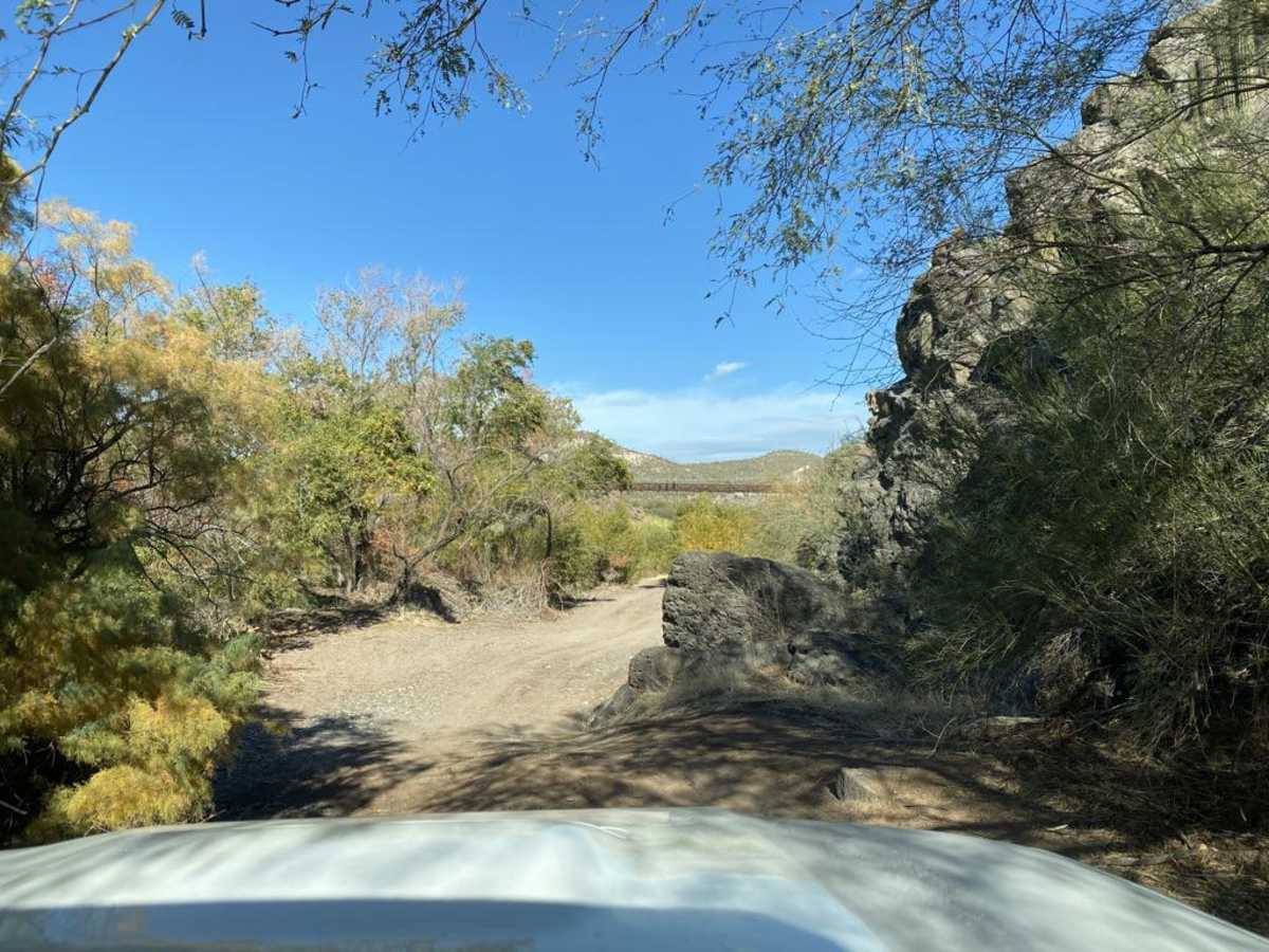
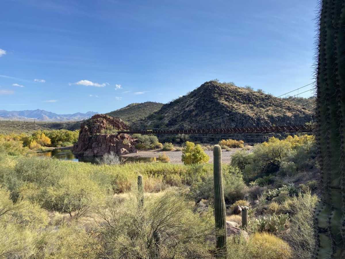
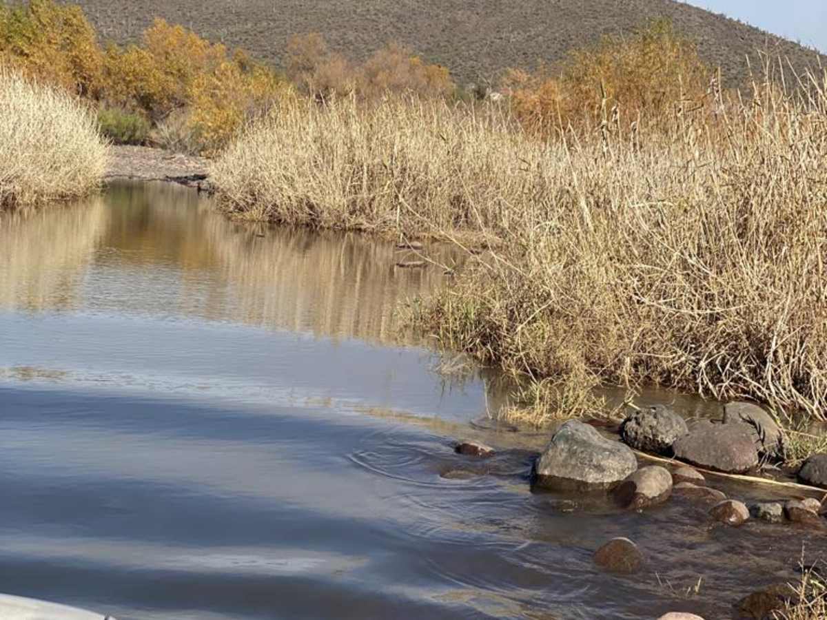
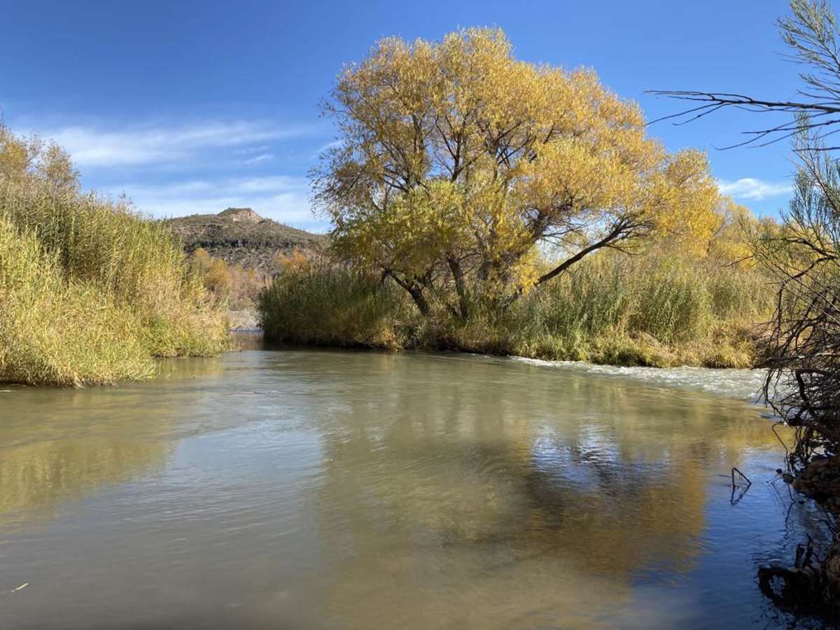
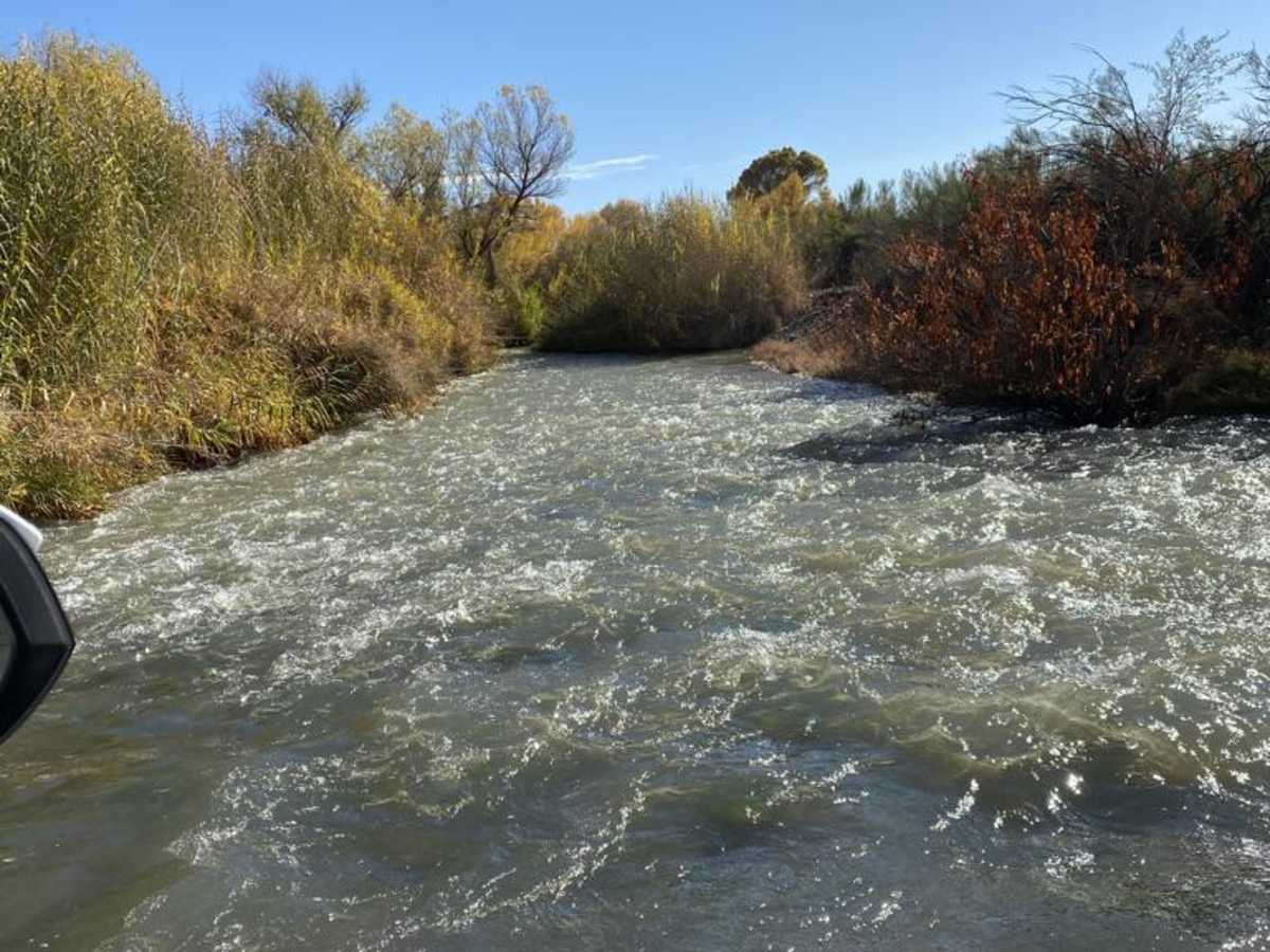
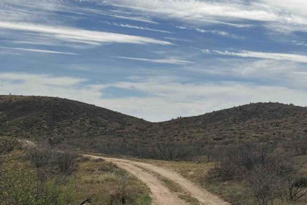
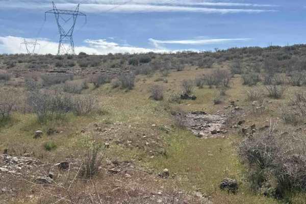
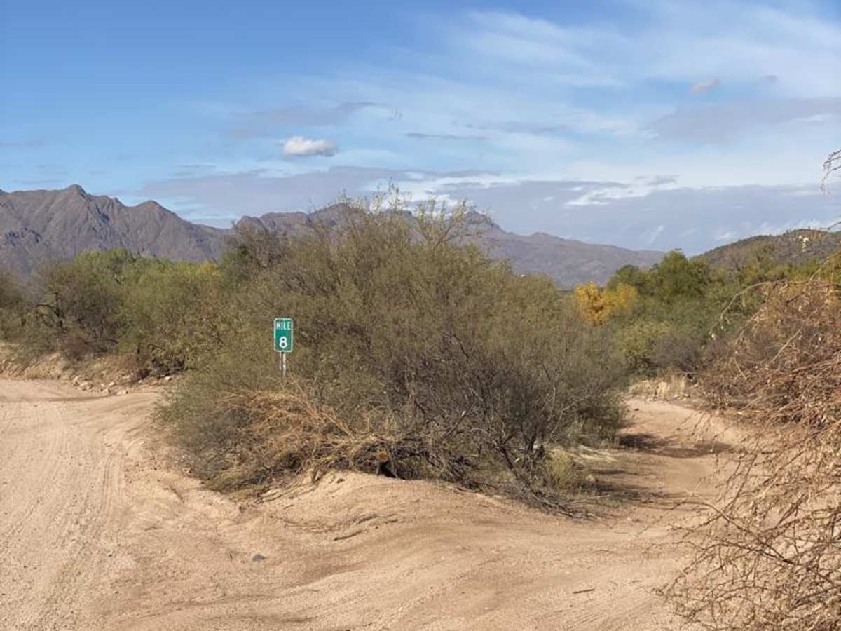
This trail provides a shorter alternative to Bloody Basin Road for viewing Sheeps Bridge and the Hot Springs. This trail is simple enough, but there are a few water crossings. The second crossing across the Verde River is the most challenging part of this trail. The key to this crossing is staying downriver and hugging the rapids or it gets deep fast. After crossing the river, the rest of the trail is relatively tame. One section has deep ruts and silty sand, but it's easily managed in an aggressive stock 4x4. Due to the river crossing, you should not attempt this right after a hard rain or with rain in the forecast.

Photos of Backway to Sheeps Bridge

Difficulty

Besides the river crossing, this trail is easy.

Technical Rating

5

Status Reports

Add Status Report
Devin T
Feb 08, 2026
Open
Normal
Nice cool day on the trail. Southernmost water crossing at the beginning was maybe 2 feet deep. Second water crossing was maybe slightly over waist deep. 80 series Landcruiser made it though no problem with no snorkel. It’s only on a 2” lift and 35s and water didn’t even make it in the bottoms of the doors.
Brian T
Jan 17, 2026
Obstructed
Impassable Water Crossing
Overall very easy trail, mostly rock gardens, rocky climbs, and rutted out potholes. Can be done in stock 4x4 with decent clearance. First water crossing was about 30”, more shallow if stick to the rapids. Second water crossing was impassable at the time due to its fast flowing current and water level at chest high ( I am 5’9”, truck is 3.5” lifted on 35s). Overall really easy trail and the hot spring was beautiful.
Jeep 4 Dirt
Jul 03, 2025
Open
Normal
This video shows you what to expect. https://youtu.be/LUTLsa2gMgo?si=T7DbsCb3wxqPNKKk
Donny Chilla
Dec 27, 2024
2016 Toyota Tacoma
Open
DustyRough/DeterioratedWashboard
I did this trail on December 1st. definitely need a 4x4 some technical areas and deep powder dirt. super fun and long. be prepared to cross the water to get over to the trail. it's about 2' deep. depending on the tome of year. Toyota tacoma TRD off road.
Moises Hernandez
Jul 06, 2024
2021 Jeep Grand Cherokee
Open
DustyRough/Deteriorated
My Jeep has 16” of ground clearance with full time 4wdH and handed the trail without a problem. 4 other jeeps I went with completed the trail in 2wd. Definitely need high clearance and I’d say about 70% of the trail is rough so good idea to air down.
Jared G
Jan 06, 2024
Open
Trail is a bit washed out and more rocky than usual. Crossing the Verde by the bridge is much deeper than usual, the ledge has washed away. Be careful!
Dan Johnson
Dec 29, 2023
Open
NormalDusty
Trail was fairly easy for the most part. Big wide open Mountain View’s, sheep’s bridge was really cool with great spots to swim or hang out. The crossing south of sheep’s bridge was a bit deep but we made it in a Rubicon on 33s and 2inch lift.
Nate Winslow
Dec 28, 2023
Open
Normal
Kawasaki KRX. Trail was in great shape. The first water crossing was dry. The second water crossing only had about 12-18 inches of water. Passed a group of Jeeps heading back from Sheep's Bridge, so a standard 4WD can make it all the way. Did not attempt the water crossing located just south of Sheep's Bridge, but probably could have made it just fine. There was evidence that other vehicles had made the crossing that day.
djk djk
Sep 02, 2023
Open
Normal
Jared G
Jun 09, 2023
Open
Normal
Sean O'hagan
Jun 05, 2023
Open
Gary Gladysz
May 28, 2023
Open

Backway to Sheeps Bridge Trail can be accessed by the following ride types:

  • Single Track
  • 50 Inch
  • High Clearance

Backway to Sheeps Bridge Map

The onX Offroad Difference

onX Offroad combines trail photos, descriptions, difficulty ratings, width restrictions, seasonality, and more in a user-friendly interface. Available on all devices, with offline access and full compatibility with CarPlay and Android Auto. Discover what you're missing today!

Open Trail Map