FS 9E

Total Miles1.6
Technical Rating
2Easy
Best TimeSpring, Summer, Fall
Trail TypeFull-Width Road
Accessible By
Open Trail Map

Trail Overview

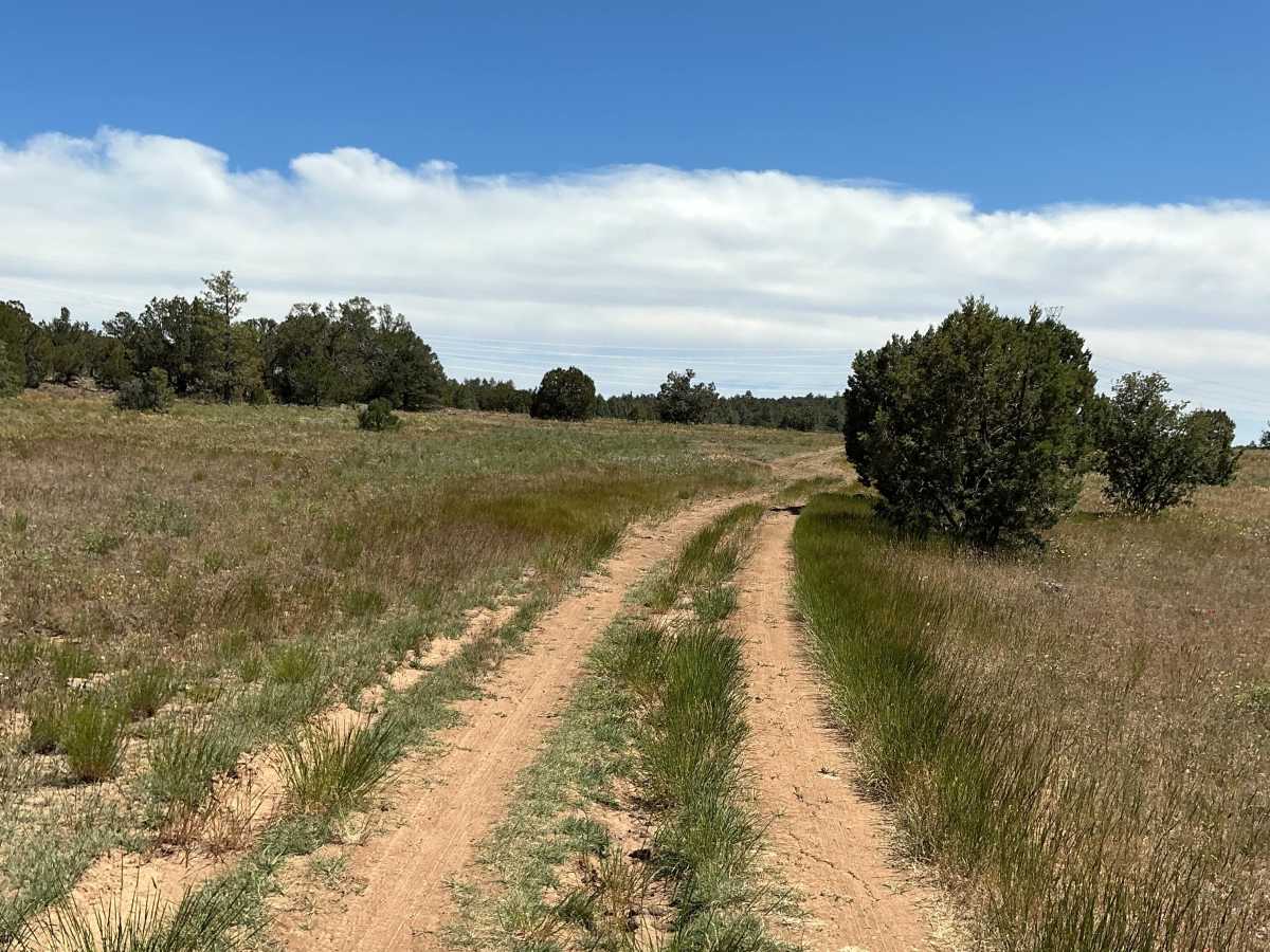
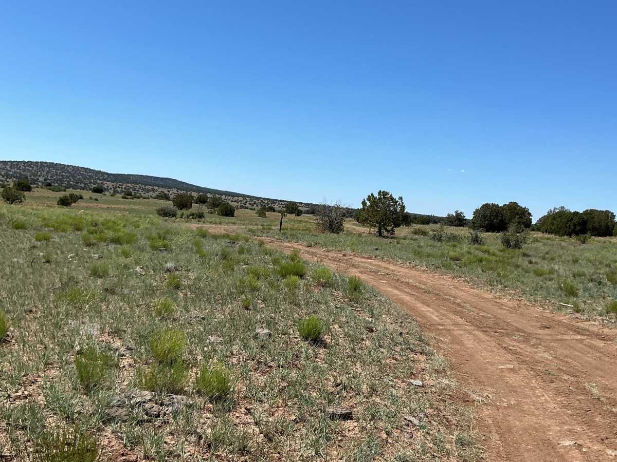
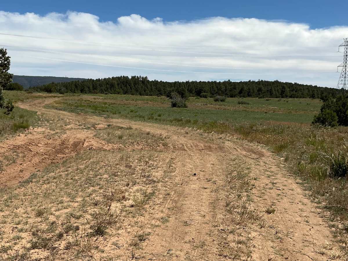
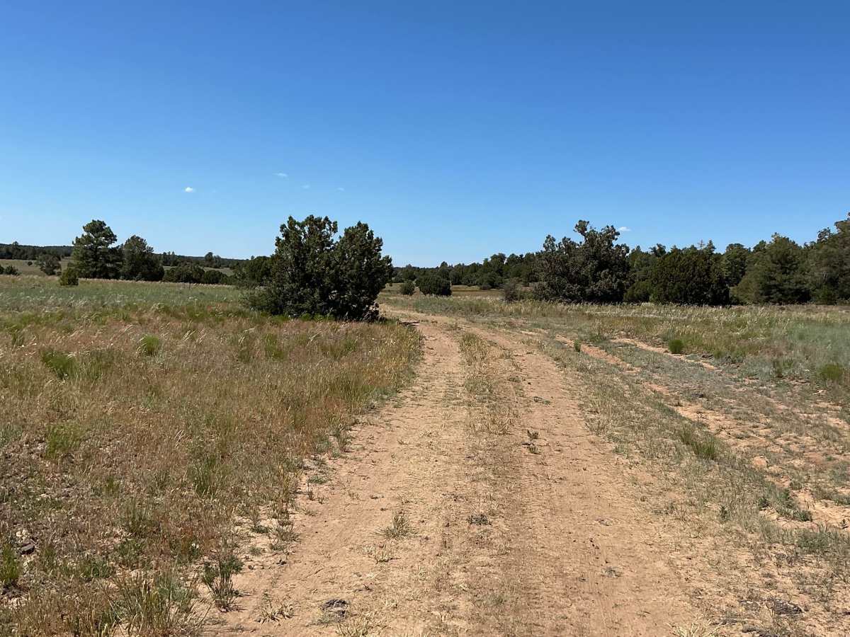
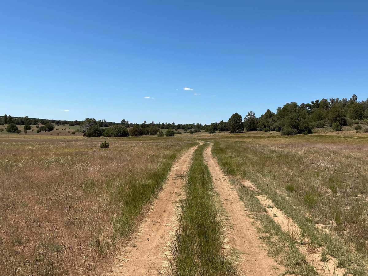
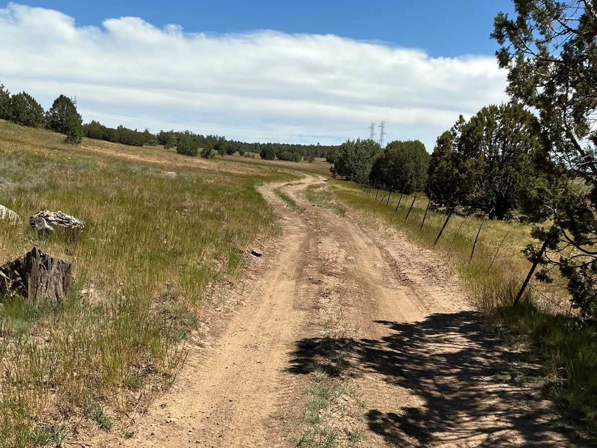
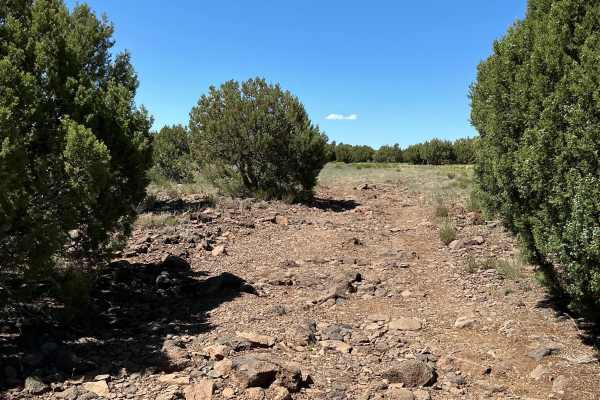
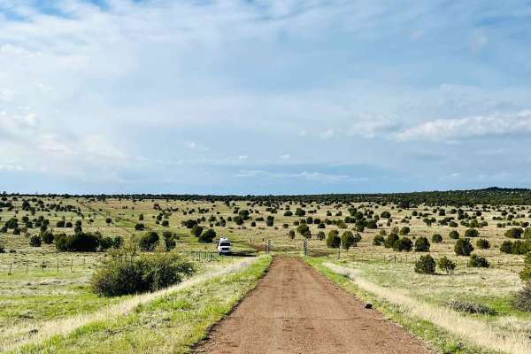
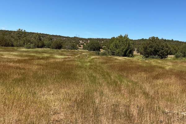
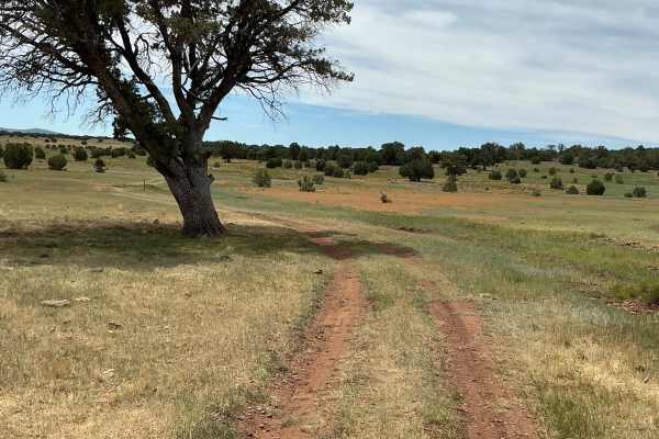
Forest Service Road 9E is just over 1.5 miles long and provides an easy connection between Highway 260 and Forest Service Road 9D. The trail surface is primarily dirt with minor ruts and a few small rocky sections that should not pose any difficulty for most vehicles. The route travels through an open meadow dotted with scattered juniper trees, offering wide-open views of the surrounding landscape. The southern portion of the trail can become very muddy after rain or snow and may be difficult to navigate when wet. In contrast, the northern section is smooth and well-maintained, likely due to ranch activity along the route. Drivers/riders should remain alert for livestock and ranch traffic, including livestock transport vehicles, especially on the northern end of the trail.

Photos of FS 9E

Difficulty

Expect an off-and-on maintained dirt road. There may be ruts present after any sort of precipitation.

Technical Rating

2

FS 9E Trail can be accessed by the following ride types:

  • Single Track
  • 50 Inch
  • 60 Inch
  • High Clearance
  • Full Width

FS 9E Map

The onX Offroad Difference

onX Offroad combines trail photos, descriptions, difficulty ratings, width restrictions, seasonality, and more in a user-friendly interface. Available on all devices, with offline access and full compatibility with CarPlay and Android Auto. Discover what you're missing today!

Open Trail Map