FS 142H

Total Miles2.8
Technical Rating
3Easy
Best TimeSpring, Summer, Fall
Trail TypeFull-Width Road
Accessible By
Open Trail Map

Trail Overview

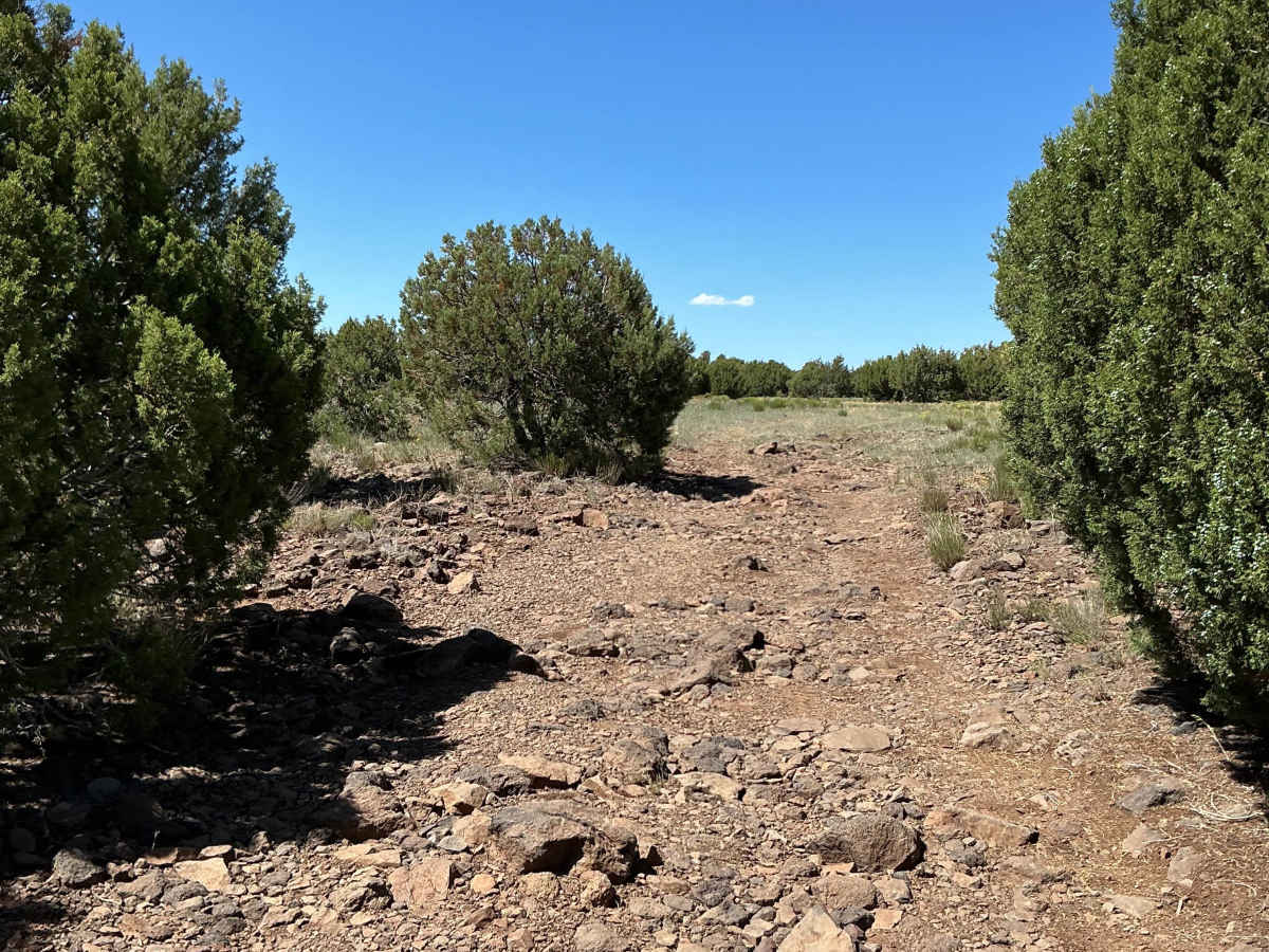
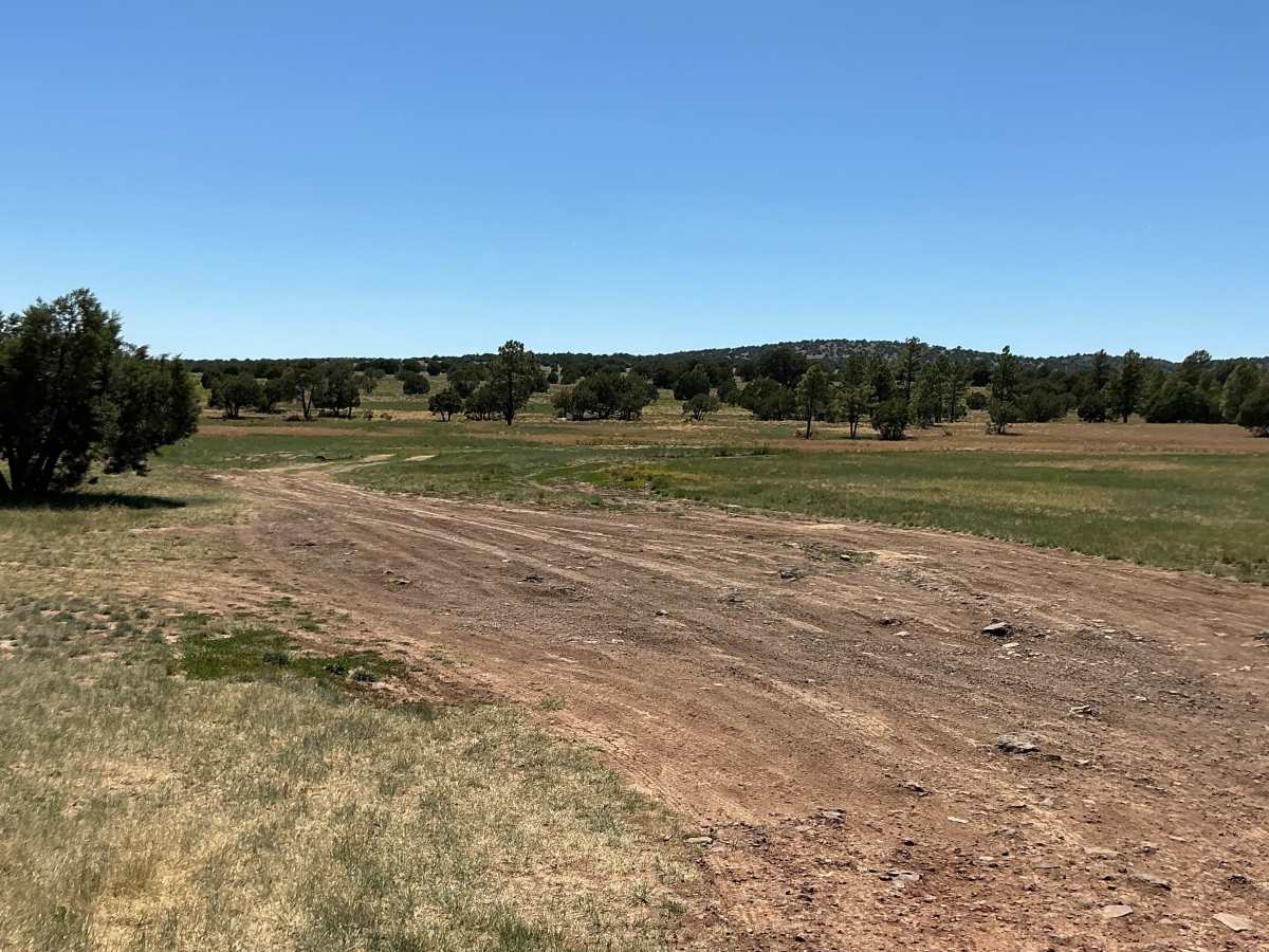
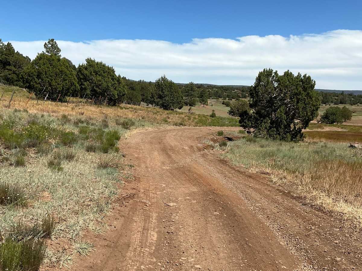
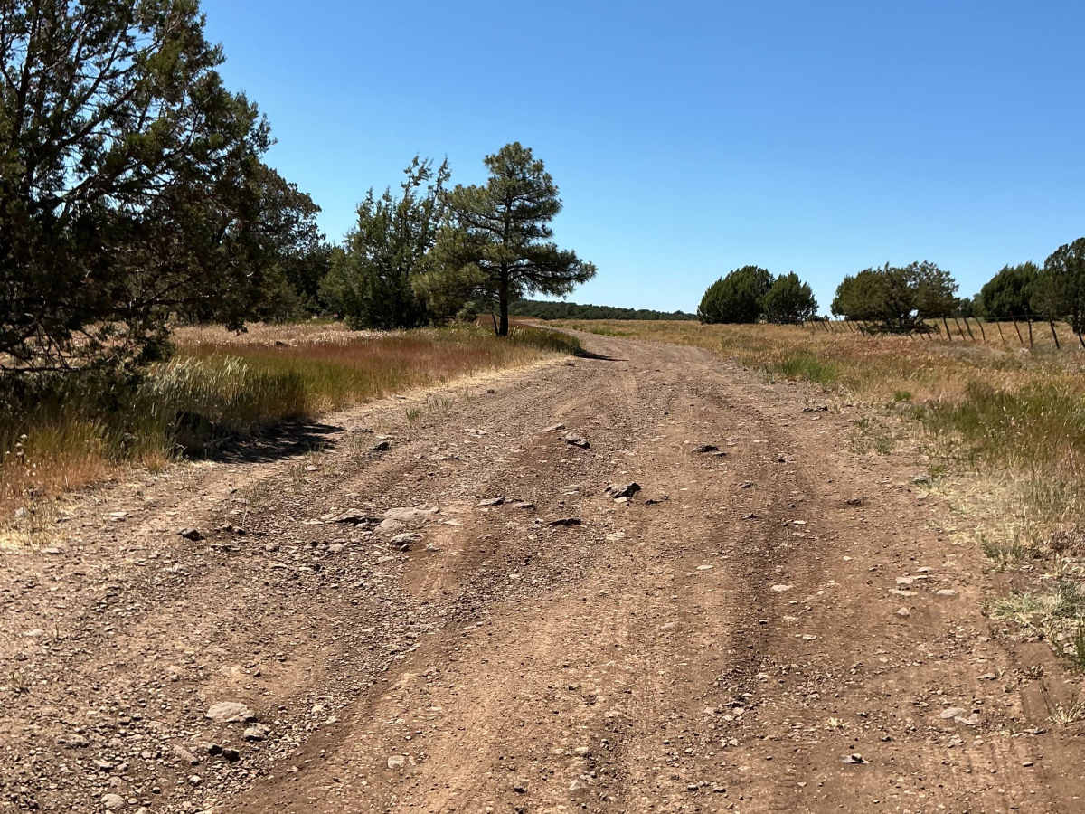
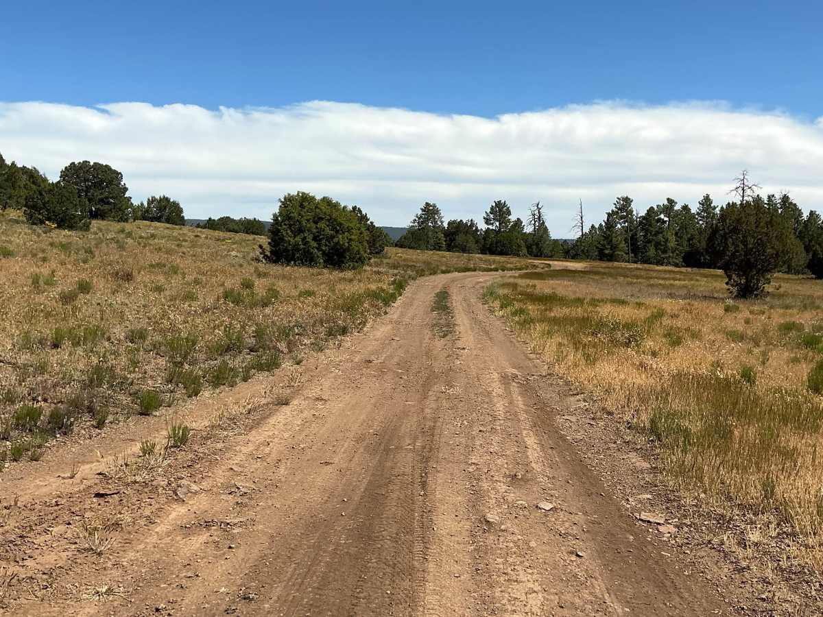
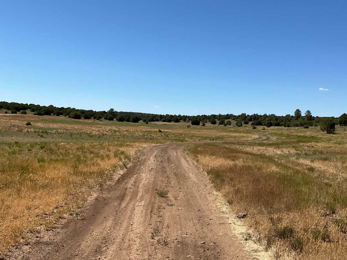
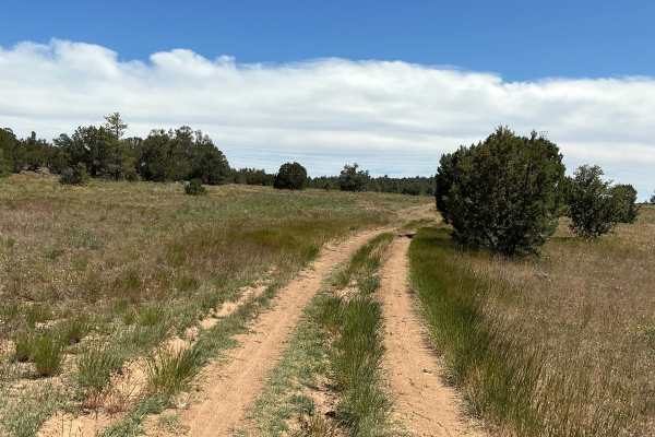
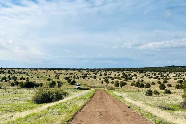
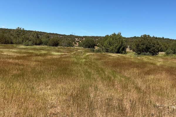
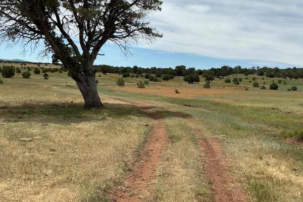
Forest Service Road 142H is just under 3 miles long and runs south to north. Beginning at Highway 260, the trail features a relatively even surface and is easy to travel. As you continue north, you'll encounter a few rutted and rocky sections, with the terrain gradually becoming rougher. After passing Cabin Tank, the trail becomes increasingly littered with small rock gardens and loose rocks, requiring more careful tire placement. Near the northern end, the trail seems to disappear into the landscape as expansive views of the West Clear Creek Wilderness open up before you. The overlook provides a rewarding finish to the route and an excellent opportunity to take in the surrounding scenery.

Photos of FS 142H

Difficulty

Expect an uneven, rutted, and rocky dirt trail with loose rocks. Trail obstacles are up to 12".

Technical Rating

3

FS 142H Trail can be accessed by the following ride types:

  • Single Track
  • 50 Inch
  • 60 Inch
  • High Clearance
  • Full Width

FS 142H Map

The onX Offroad Difference

onX Offroad combines trail photos, descriptions, difficulty ratings, width restrictions, seasonality, and more in a user-friendly interface. Available on all devices, with offline access and full compatibility with CarPlay and Android Auto. Discover what you're missing today!

Open Trail Map