FS 526B

Total Miles1.2
Technical Rating
3Easy
Best TimeSummer, Fall
Trail TypeFull-Width Road
Accessible By
Open Trail Map

Trail Overview

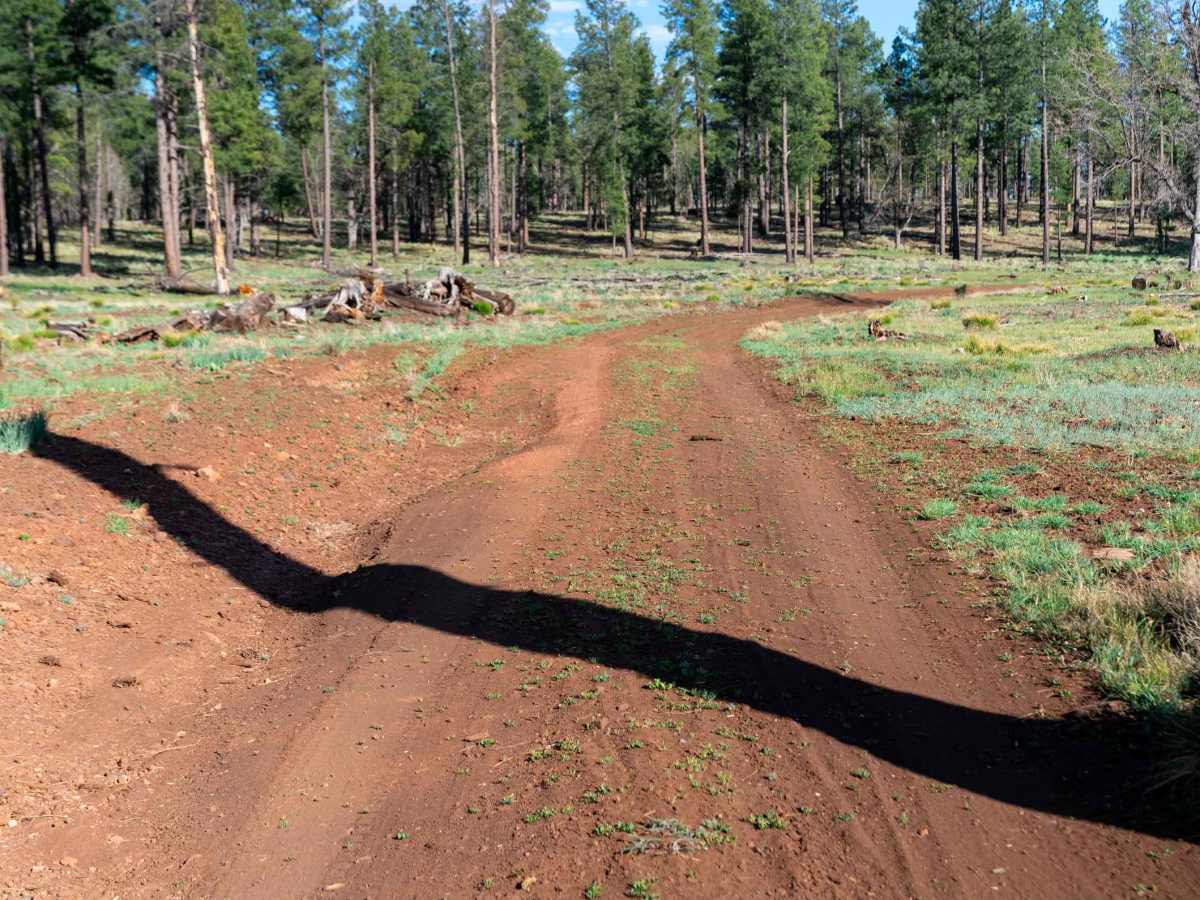
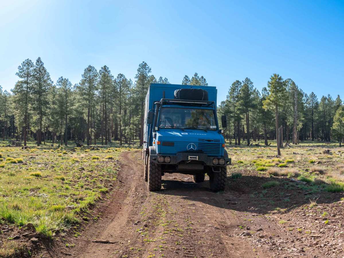
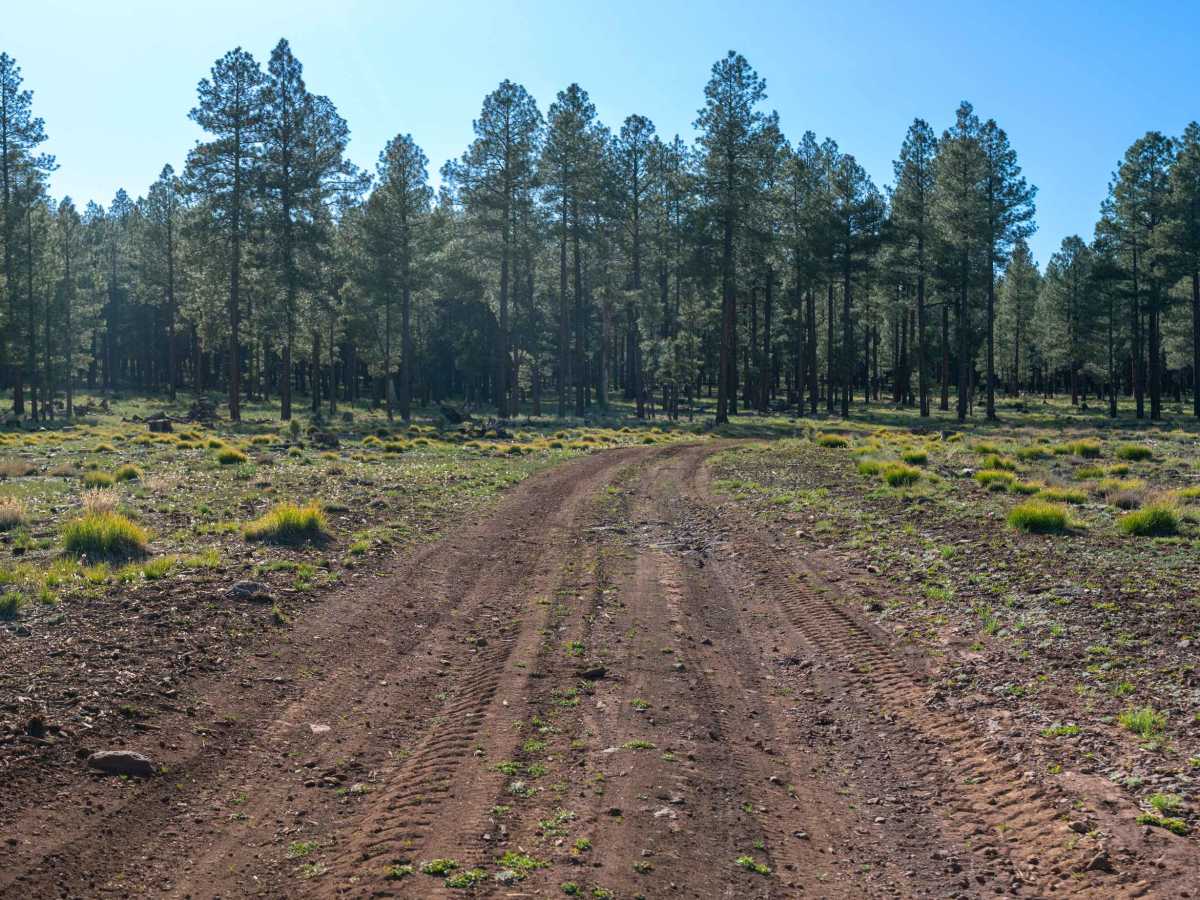
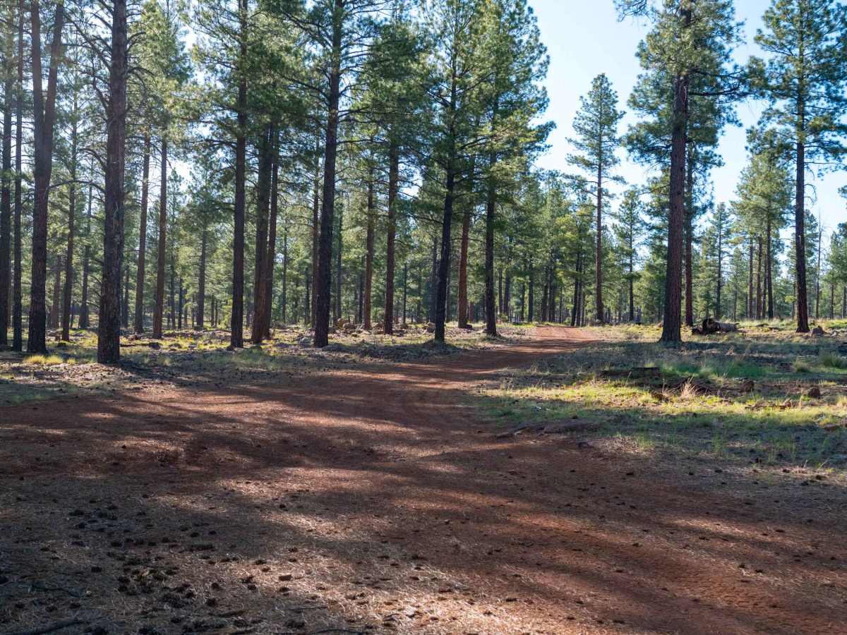
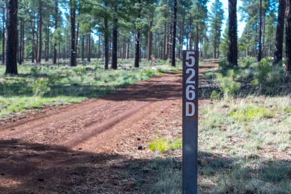
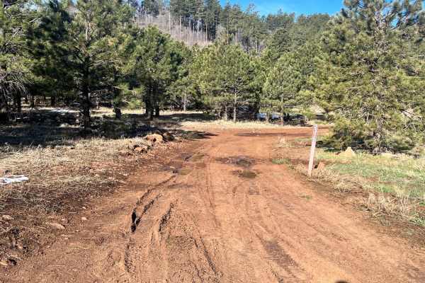
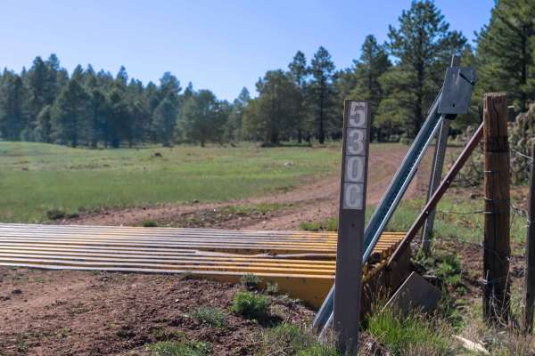
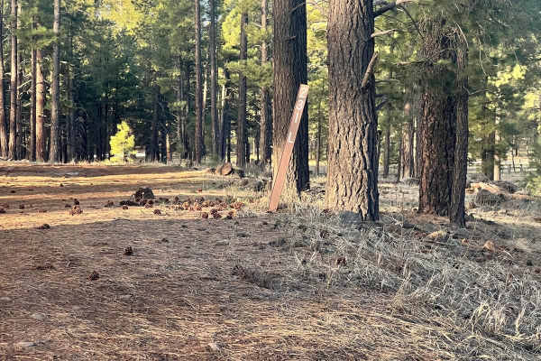
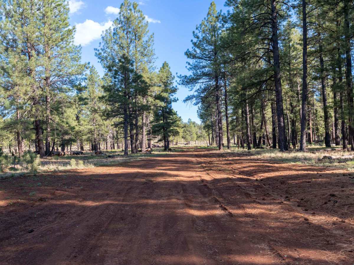
This trail starts on the north end as a fairly smooth dirt road, though some ruts and washouts from rain can create minor uneven sections. The route passes through a stunning open meadow before becoming slightly rockier toward the middle, where larger washouts add a bit more challenge. Overall, it remains an easy and enjoyable drive through a beautiful forest setting. As you travel, keep an eye out across the meadows for views of Humphreys Peak to the east, and watch for wildlife. We spotted elk along this trail, and the area is known for frequent wildlife activity.

Photos of FS 526B

Difficulty

This trail is rated 3/10 due to the ruts, washouts, and slightly rockier middle section. While mostly easy, drivers should be comfortable with mild uneven terrain and occasional rough patches.

Technical Rating

3

Status Reports

Add Status Report
Justin Purcell
Aug 22, 2026
2024 Chevy 2500 ZR2
Open
Rough/DeterioratedWashboard
Starts off fine a little rugged and rutted but the closer you get to Sliker hill the more narrow and rough it gets. Had my mirrors folded in and was at a crawl. Thank god for 37s. I got to the junction of 526D and decided to head back to the main forest service road. You know it’s damn near impassable when all you see is SxS and dirt bikes and they are all giving funny looks to a full size truck jamming down the trail lol.

FS 526B Trail can be accessed by the following ride types:

  • Single Track
  • 50 Inch
  • 60 Inch
  • High Clearance
  • Full Width

FS 526B Map

The onX Offroad Difference

onX Offroad combines trail photos, descriptions, difficulty ratings, width restrictions, seasonality, and more in a user-friendly interface. Available on all devices, with offline access and full compatibility with CarPlay and Android Auto. Discover what you're missing today!

Open Trail Map