Trail Overview
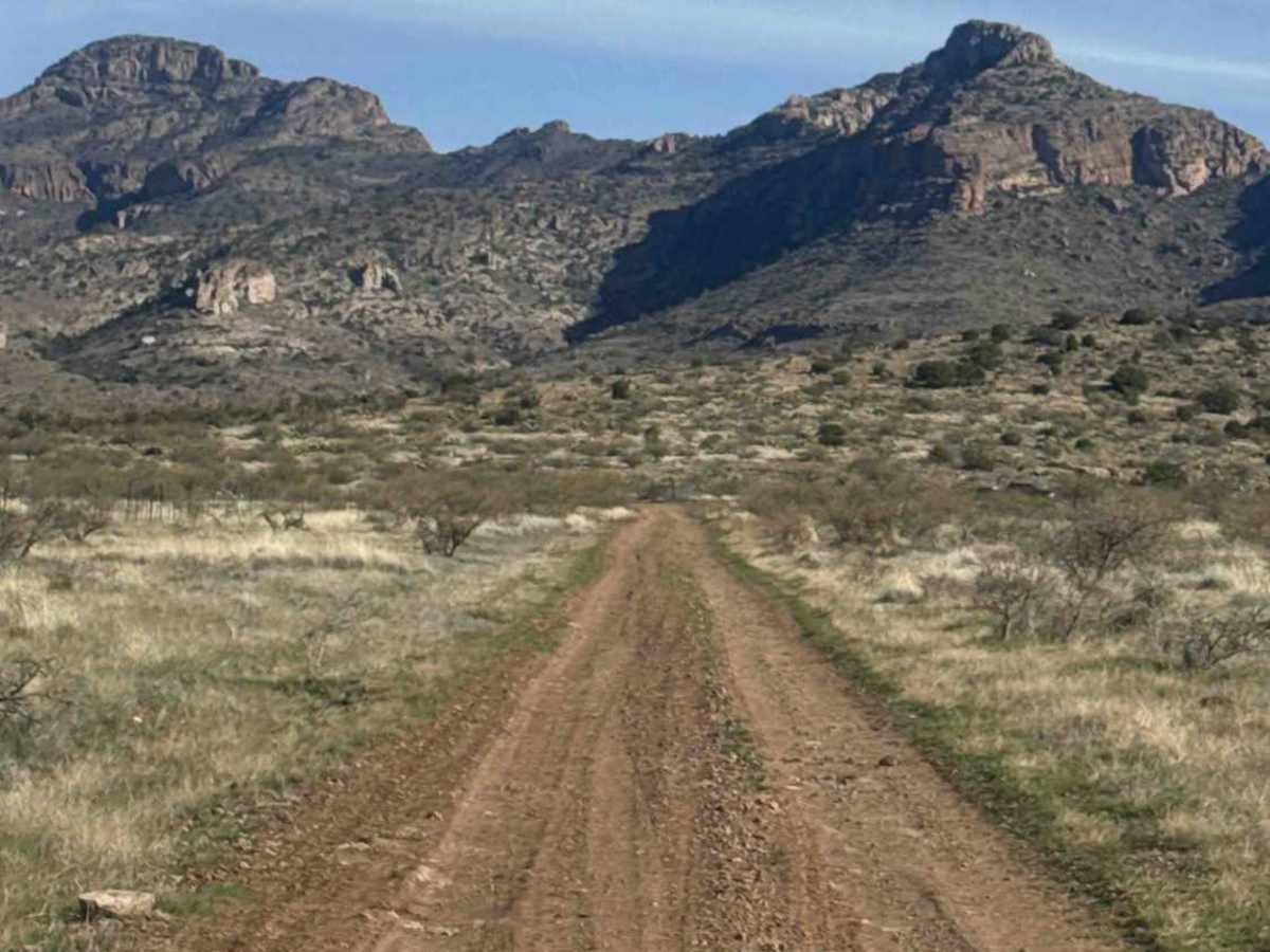
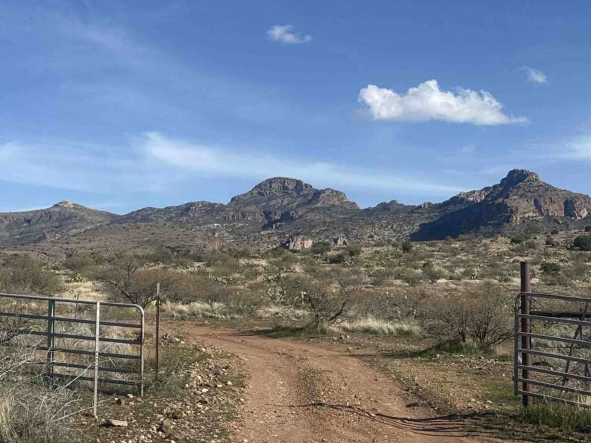
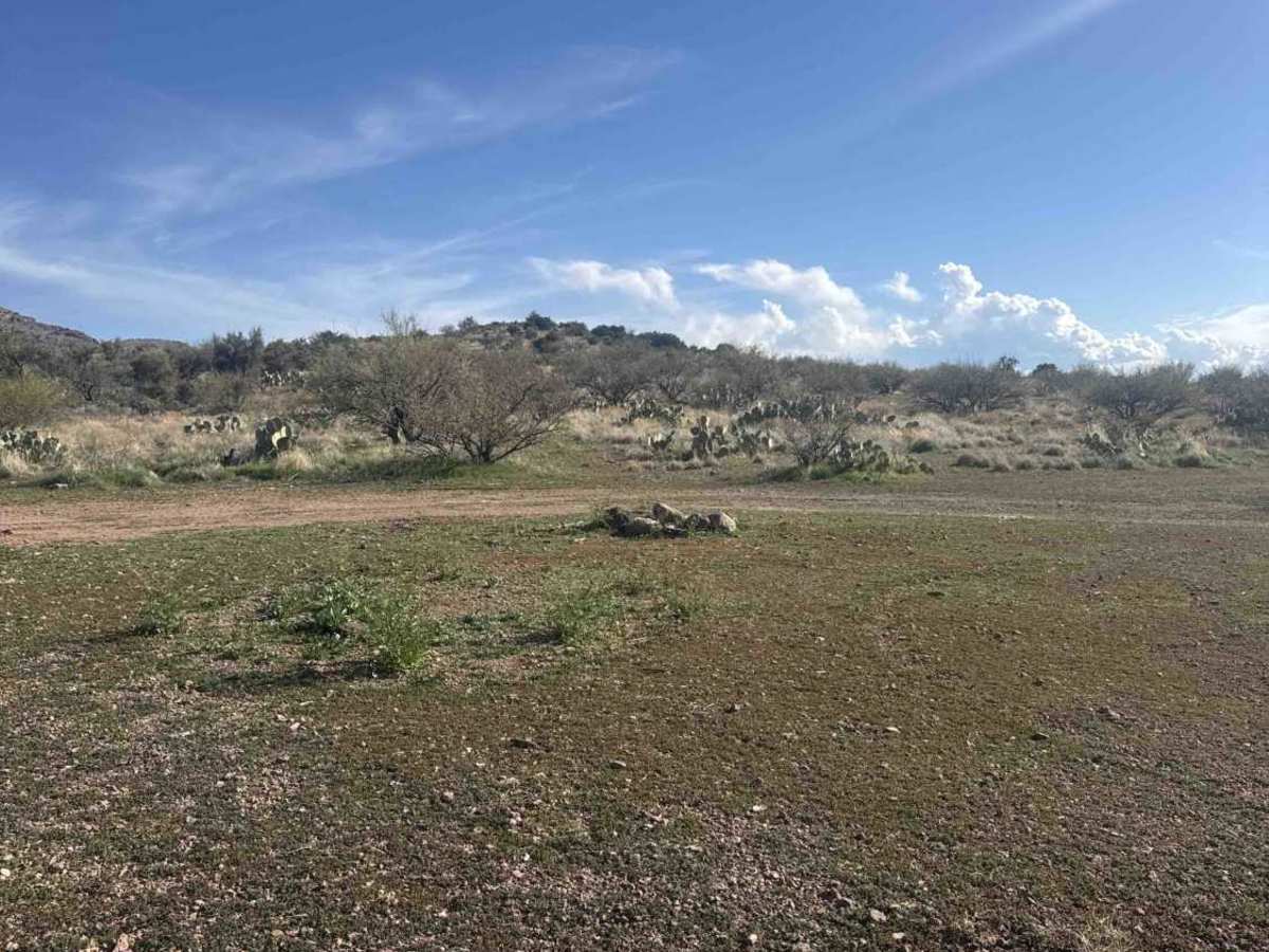
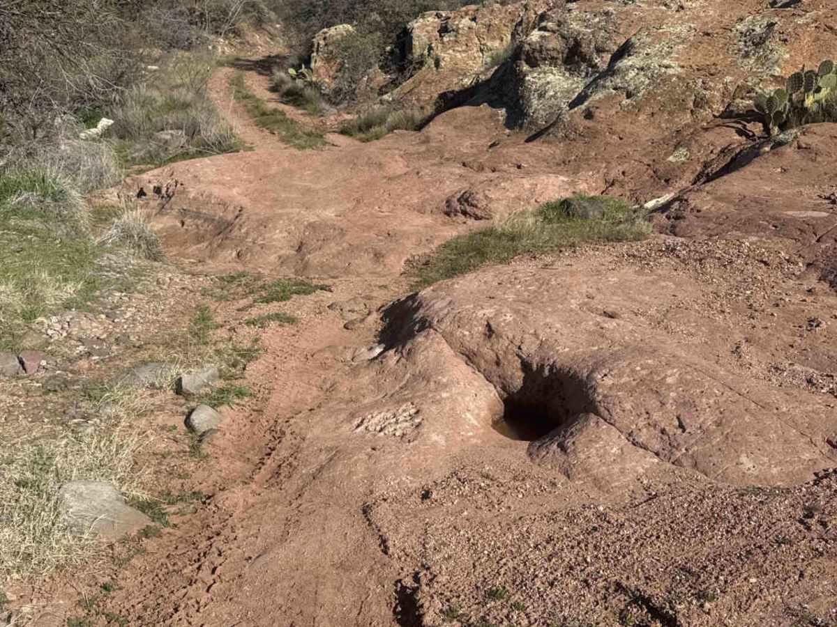
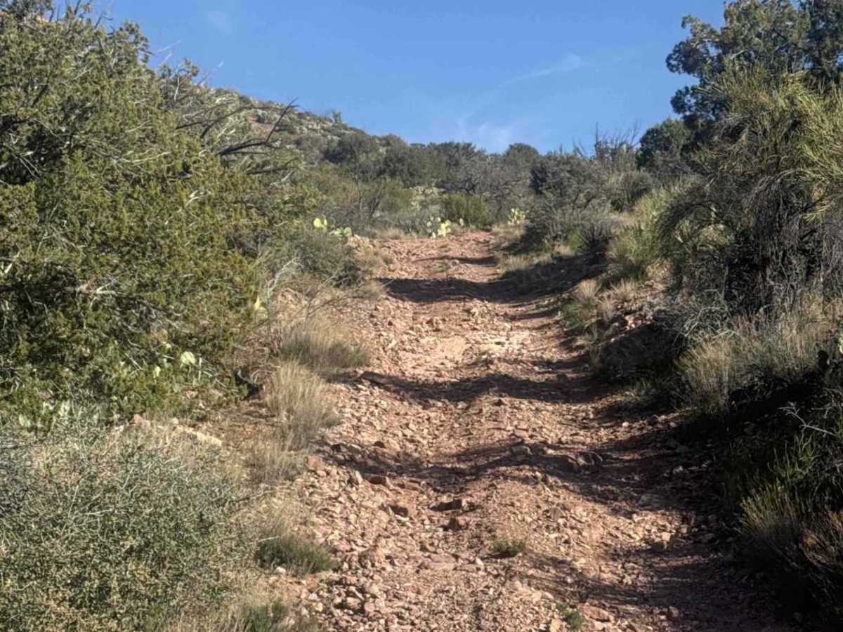
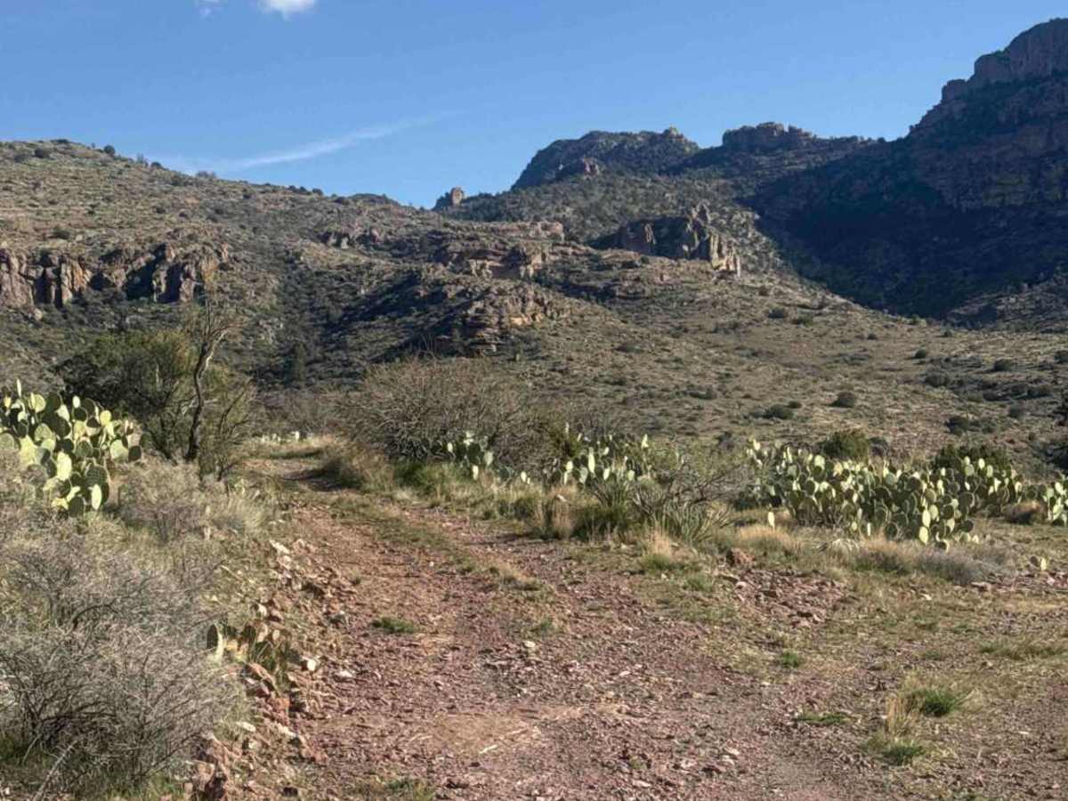
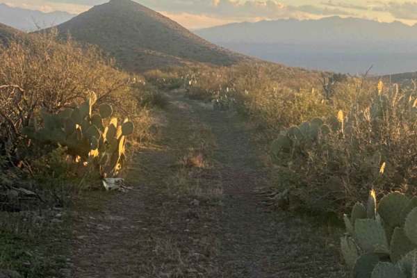
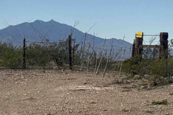
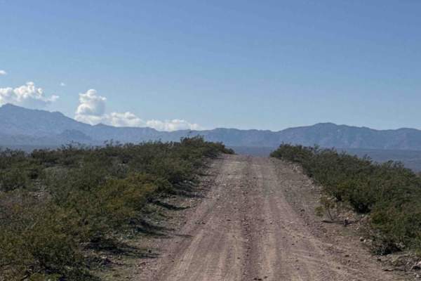
FH1042 is an out-and-back shelf road that follows the east side of the wilderness boundary. The trail descends a hillside to a water tank, where it crosses a solid rock platform with a minor off-camber section. Nothing technical. From there, the route climbs and descends through rolling mountain terrain. The surface is primarily rock and dirt, forming a narrow shelf road in several sections. High-clearance 4WD is recommended. The trail runs directly along the wilderness boundary—stay strictly on the designated route. There is no motorized use allowed within the wilderness area. Do not drive beyond the turnaround point at the bottom of the steep hill on the back side. Could possibly camp here, or have lunch or dinner. Beyond this point, you will enter protected wilderness. There is adequate space to turn around at this point. While this route does not offer sunset views, the Fishhooks canyon wall to the north is breathtaking. The area is also good for wildlife viewing. The trail is not highly technical, but a high-clearance 4WD vehicle or SxS is necessary. Do not attempt this trail in wet or bad weather conditions, as it can become hazardous. The trail ultimately ends within the canyon.
Difficulty
This trail features deep ruts, washouts, shelf road, and steep hill climbs and descents.
History
The name Fishhooks comes from a series of sharp hook-shaped ridgelines and rock formations that resemble fishhooks when seen from a distance. Was designated Wilderness in 1984 and is managed by the BLM. Roughly 5000 acres are protected.