Trail Overview
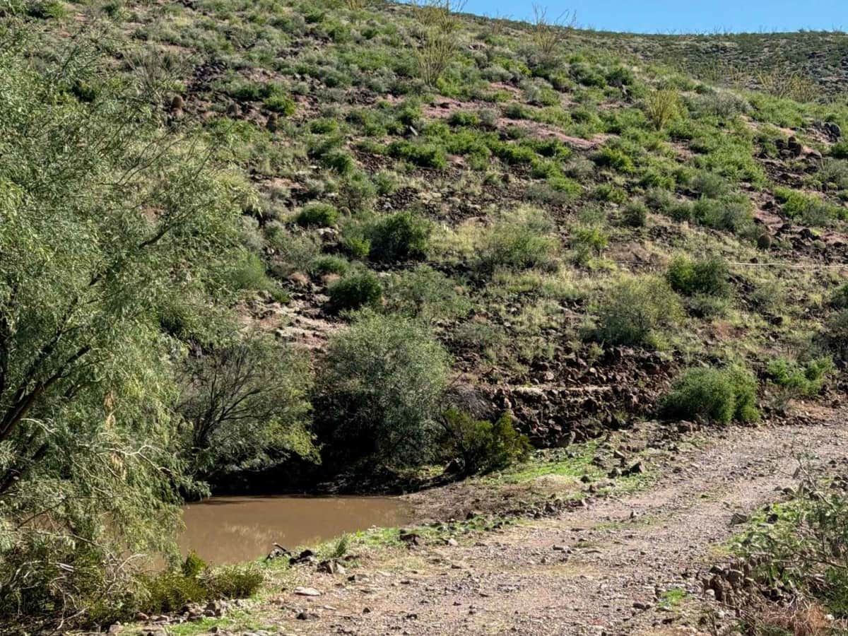
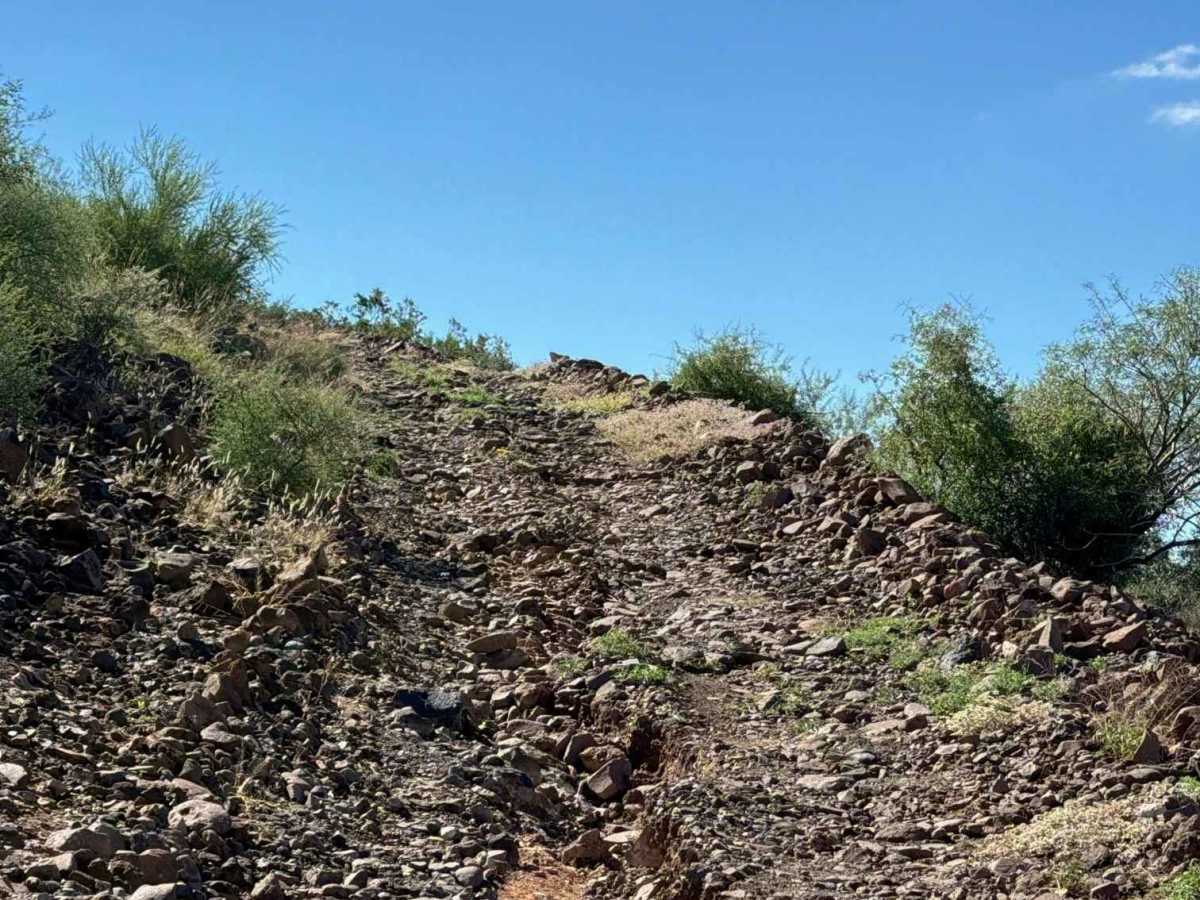
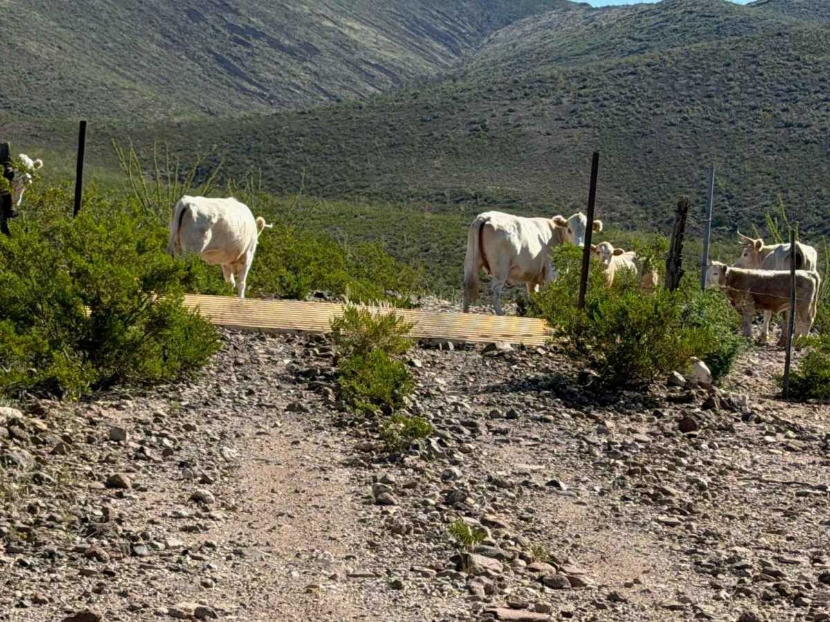
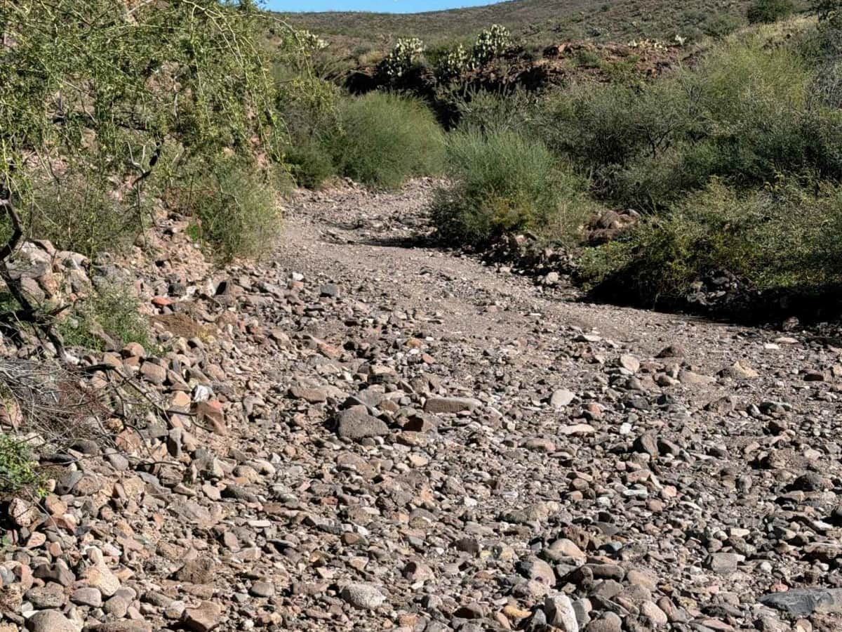
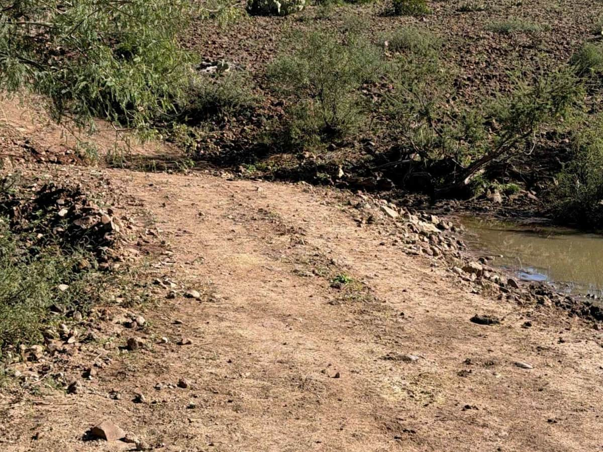
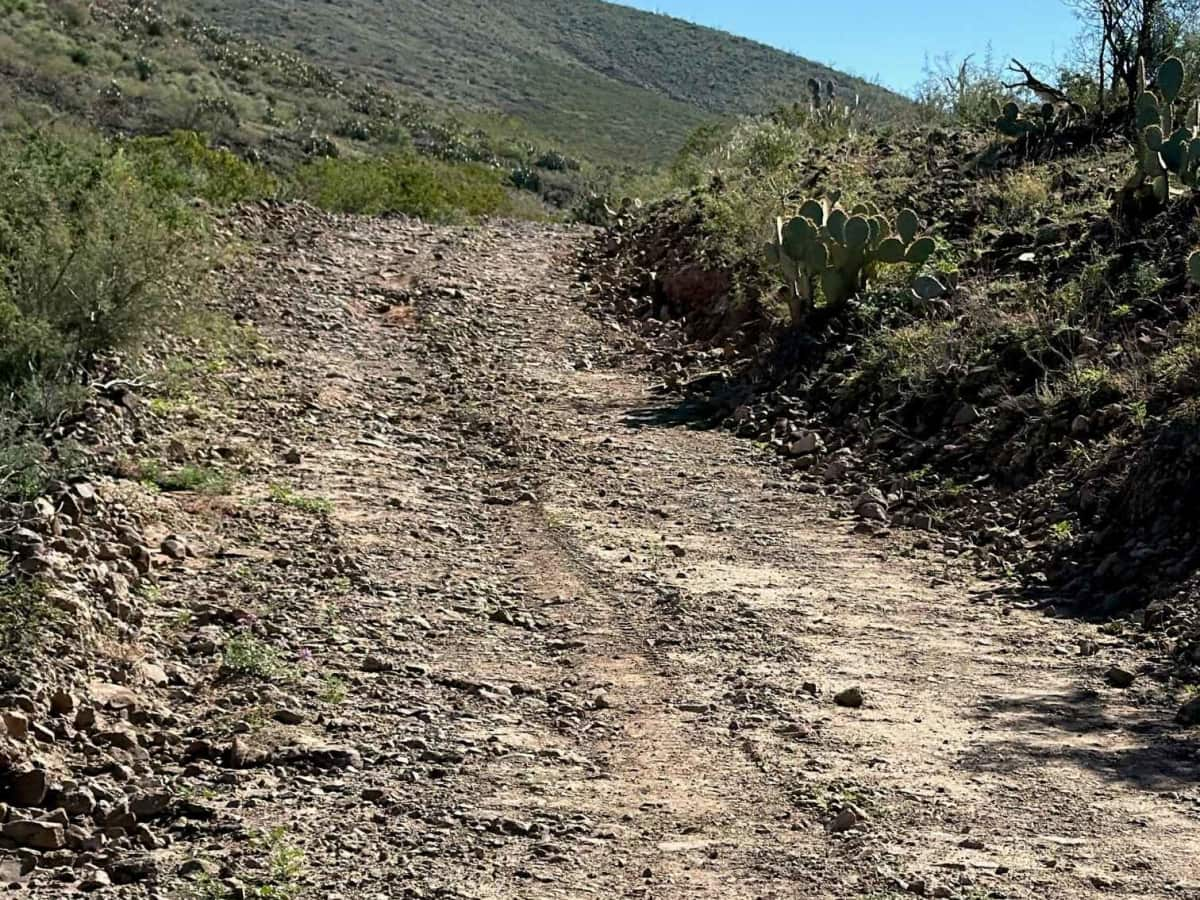
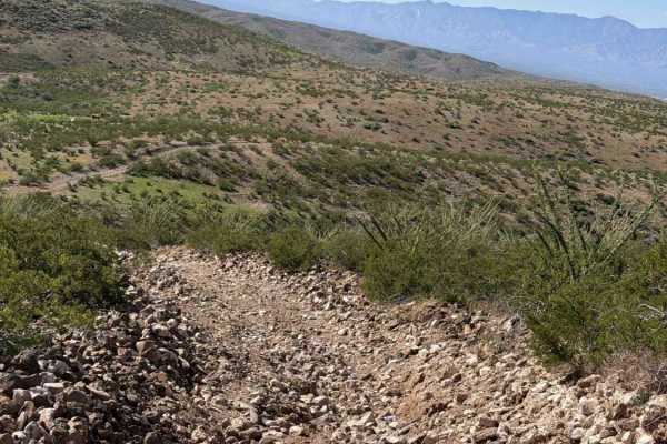
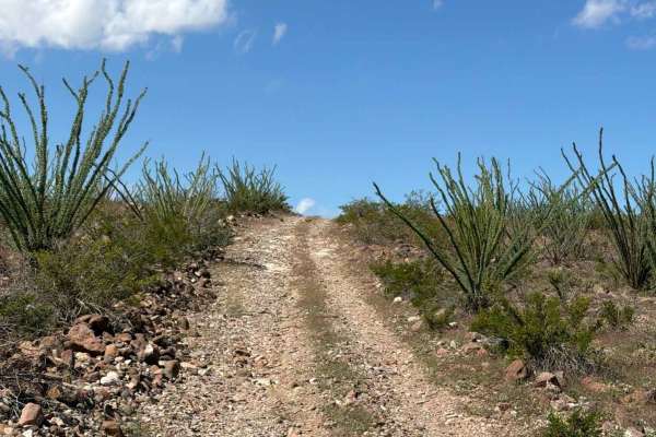
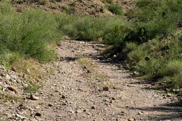
Deadman Canyon Road starts off Black Hills backcountry byway and runs west to the Gila River. Lots of steep hill climbs transitioning from one hill to the next, crossing washes; use caution in wet conditions. This wide two-track road is surrounded by creosote, ocotillo, and a few barrel cacti. Rocks vary in size in different sections. 6-12” and 18-24” in the rock garden wash; large rocks; avoid crossings. Ledge sections across the hillsides. Lots of livestock moving around. Cattle guard crossings and water tanks. There's a Dam on the west section; watch wheel placement. It is starting to erode and cave in and will continue to erode if not repaired with future rain. The trail goes from eroded to smooth sections, with varied terrain. The trail offers beautiful views of surrounding valleys and the mountain range. Few washouts and drainage ruts. No specific obstacles found; technical wheel placement on the Dam on the west side of the trail. No specific campsites located. The trail ends near the river; however, after significant rain, the Gila River floods. Proceed with caution; not recommended during and after heavy wet
Difficulty
Steep hill climb; 4WD, high clearance; few ruts; few washouts; all in sections; mostly smooth trail. Not recommended in wet conditions; Gila River floods cut off the trail near the river early. No obstacles found; technical wheel placement on eroded dam.
History
Deadman’s Canyon carries a name rooted in the rugged frontier history of southeastern Arizona. In the 1870s, U.S. Army packers, prospectors, ranchers, and settlers traveled the region, navigating remote mountain routes. One account identifies Presillino Monje, a U.S. Army packer, who reportedly died in Deadman Canyon on March 23, 1873. He was reportedly buried beneath a large cottonwood tree near two springs. Pack trains were essential for transporting supplies through the remote Gila Mountains before roads were established. The canyon lies in the historic landscape of the Pinaleño Mountains near Safford. Several stories attempt to explain the unusual name: a traveler reportedly fell and died in the canyon. Another legend tells of a man who died from a rattlesnake bite. A third account connects the name to Presillino Monje, who reportedly died of pneumonia while traveling through the canyon. Whether the name came from a tragic accident, a rattlesnake encounter, or the death of an Army packer, Deadman’s Canyon reflects the dangers of frontier travel in 19th-century Arizona. Its history reminds us that these remote routes existed long before recreational off-roading brought modern explorers through them.

 Offroad