Trail Overview
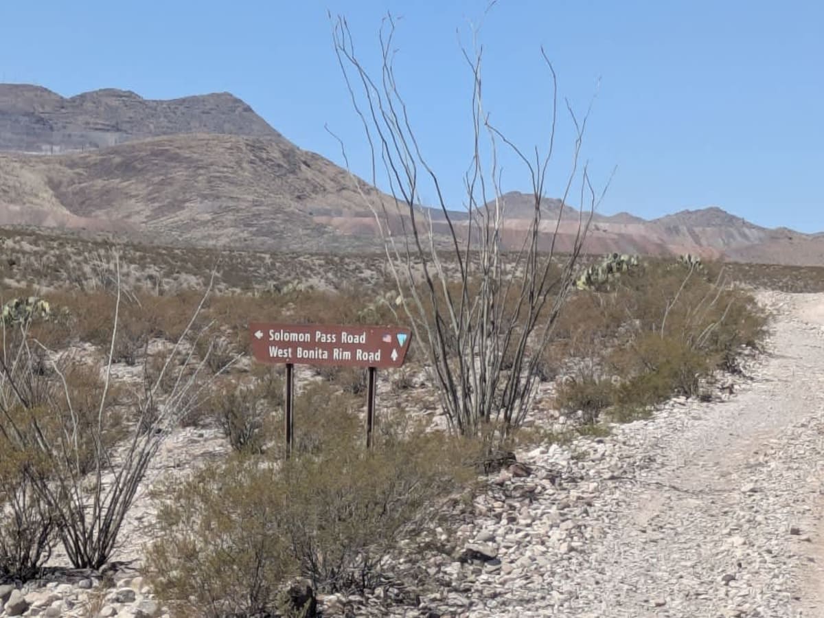
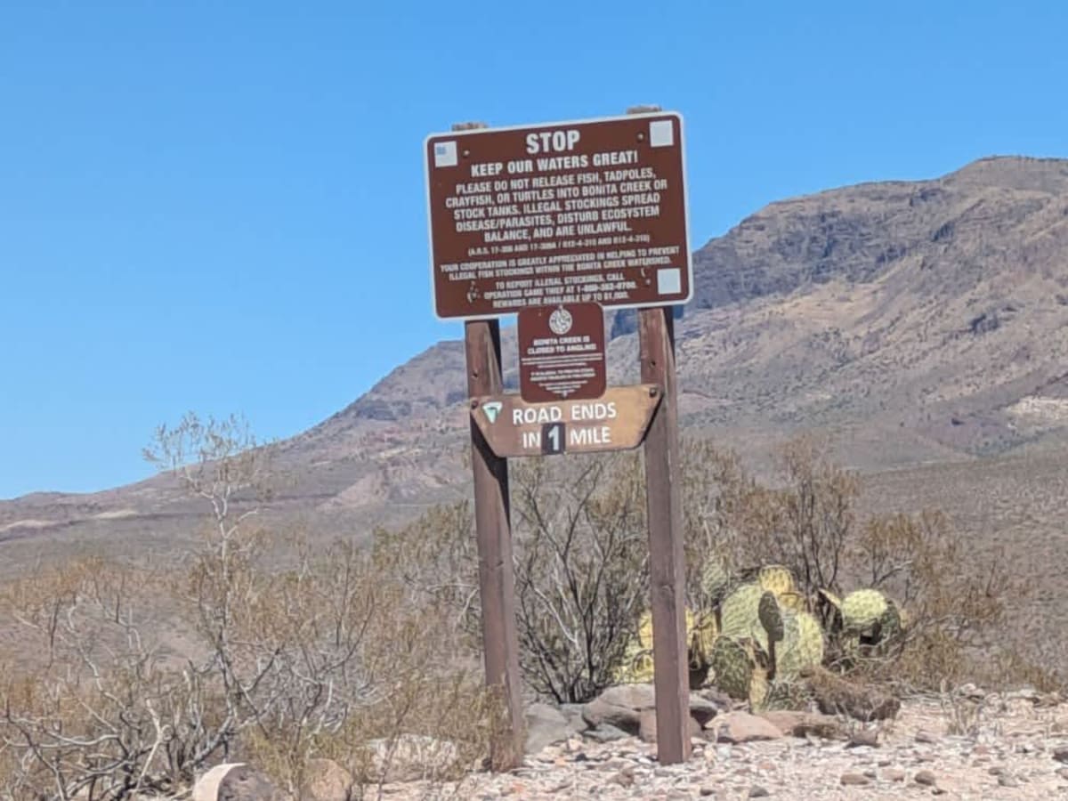
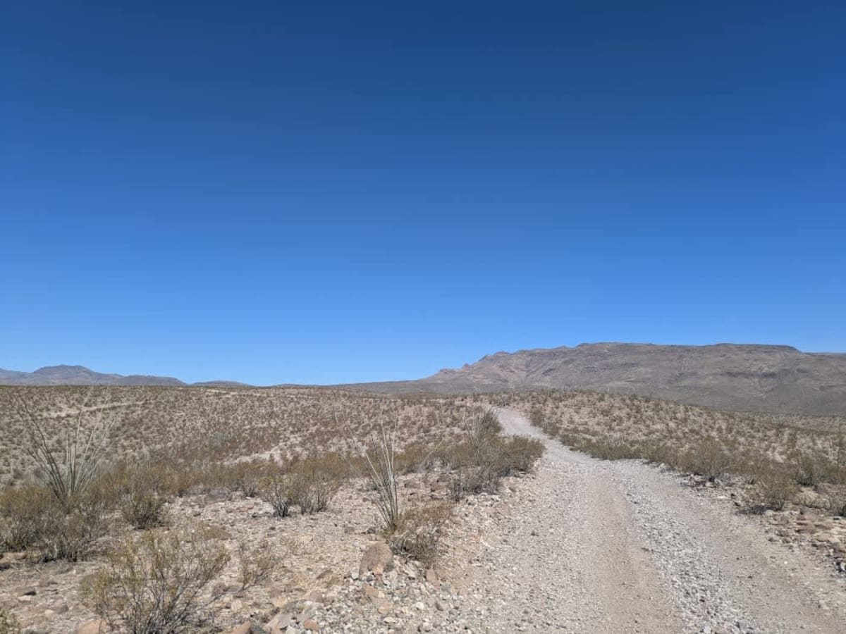
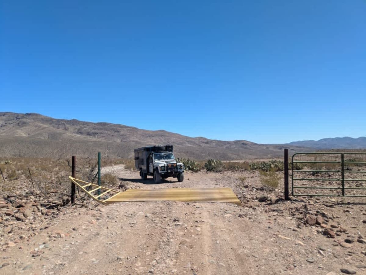
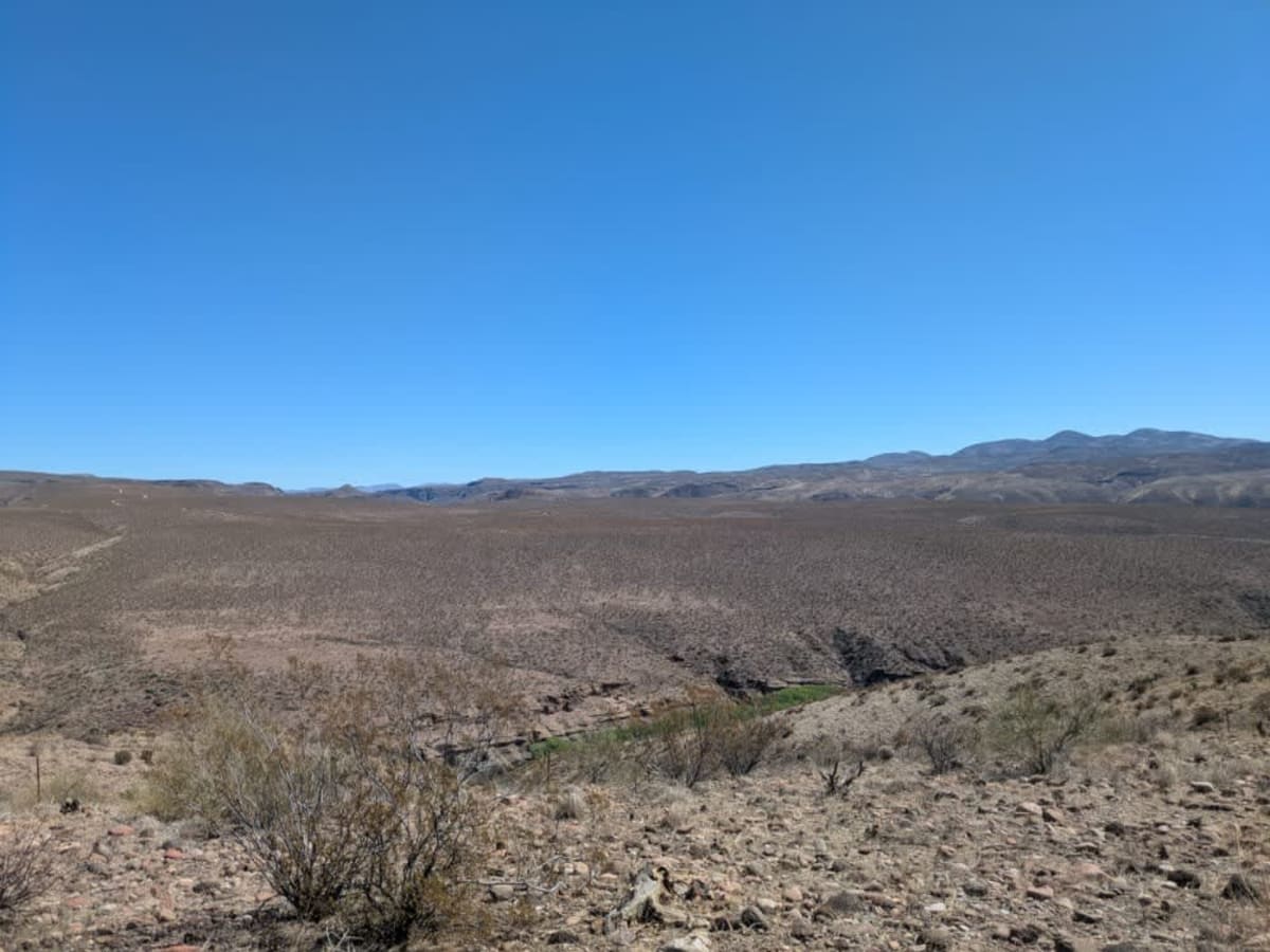
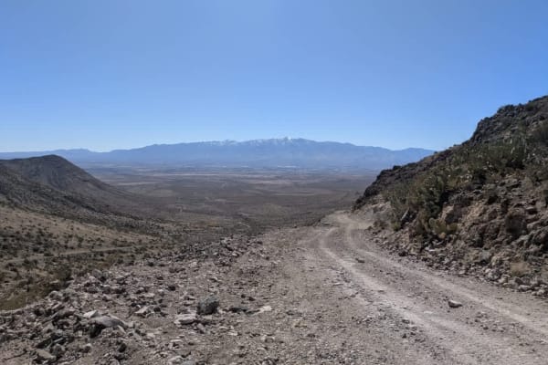
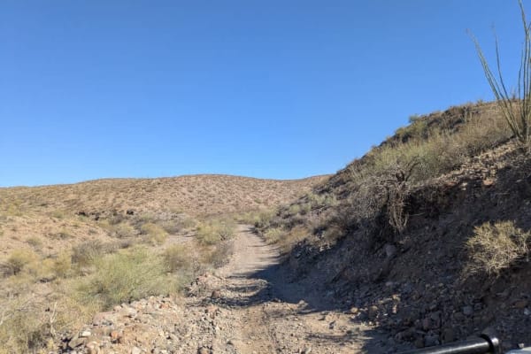
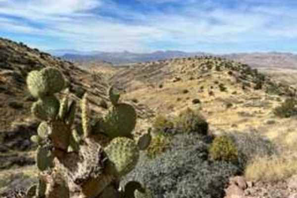
West Bonita Road is a winding, rocky trail with stretches of corrugation that climbs gradually before following the rim. Along the route, travelers will pass a few cattle stations and cross several cattle guards. Silt beds appear intermittently and can become particularly troublesome after rainfall, according to a local Fish and Wildlife officer. The trail offers sweeping views of the surrounding Gila Box Riparian National Conservation Area, with its rugged terrain and diverse vegetation. There are no dispersed campsites along this road, and amenities such as trash disposal and water are not available. Cell service is limited throughout the area.
History
The Gila Box Riparian National Conservation Area, established in 1990 and managed by the BLM, protects 23,000 acres of rare desert riparian habitat in southeastern Arizona. Centered around a scenic canyon formed by the Gila River, the area has a rich history of Indigenous use, Spanish exploration, and early American ranching. It was designated to preserve its diverse ecosystems--home to over 200 bird species, beavers, and native fish--alongside cultural sites and historic homesteads. Today, it offers recreation like rafting, hiking, and birdwatching while safeguarding a vital stretch of river in the desert.