Aqueduct Road Section 2

Total Miles1.5
Technical Rating
3Easy
Best TimeSpring, Summer, Fall, Winter
Trail TypeFull-Width Road
Accessible By
Open Trail Map

Trail Overview

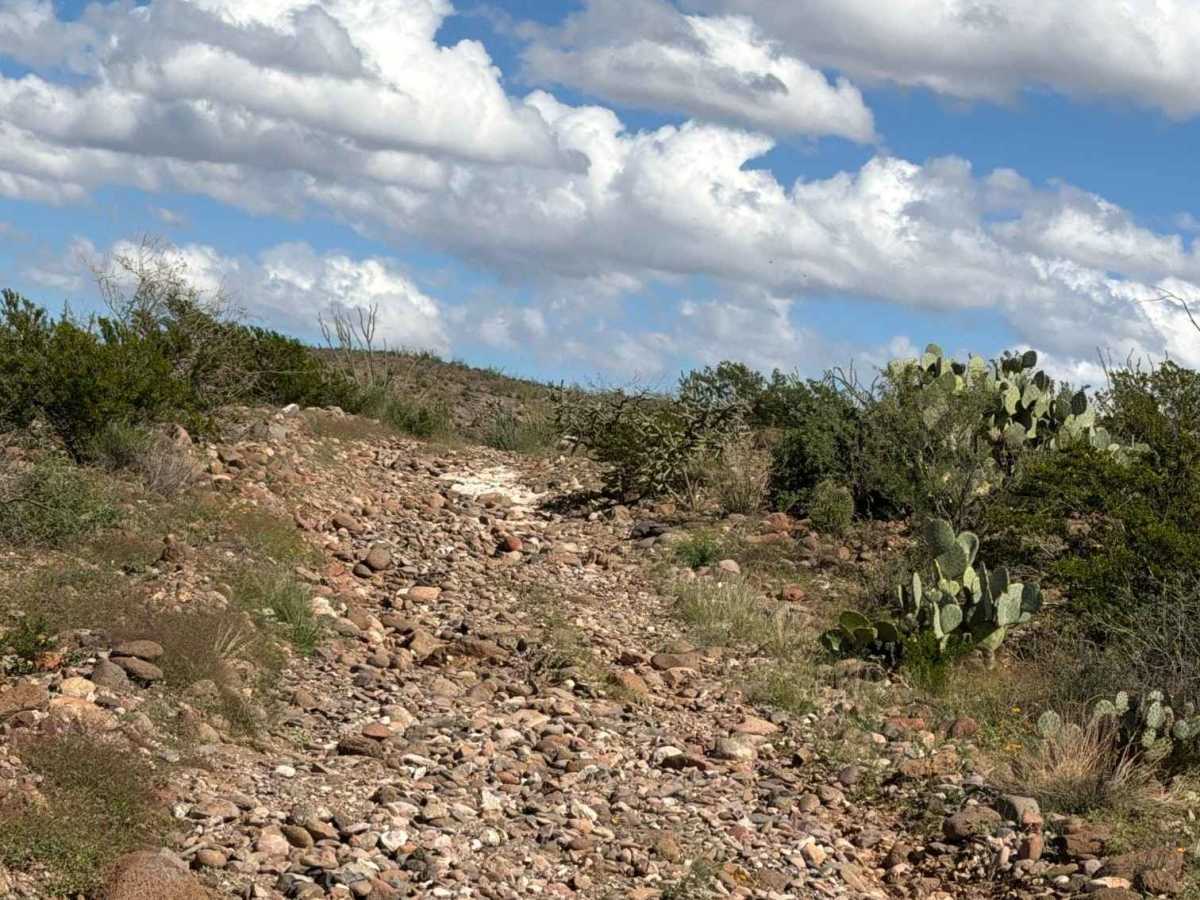
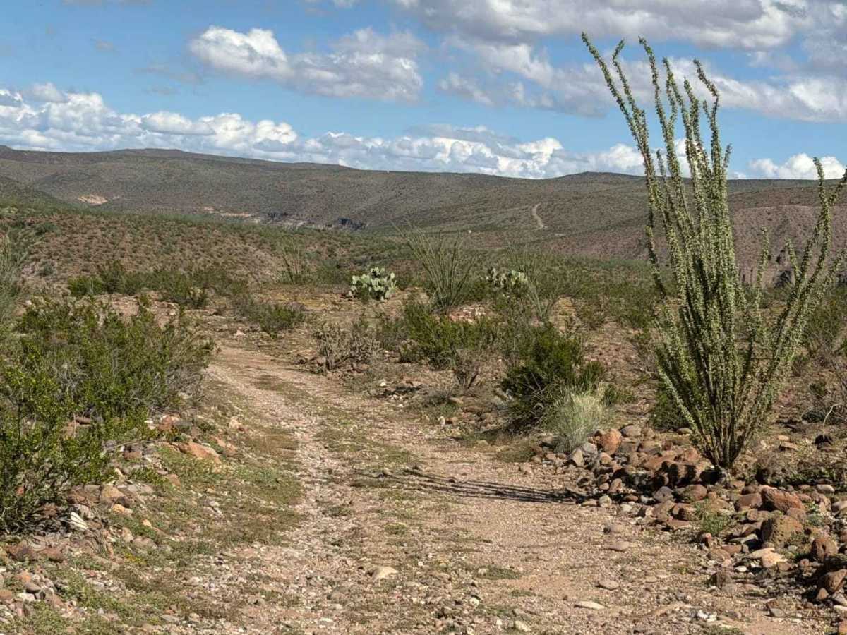
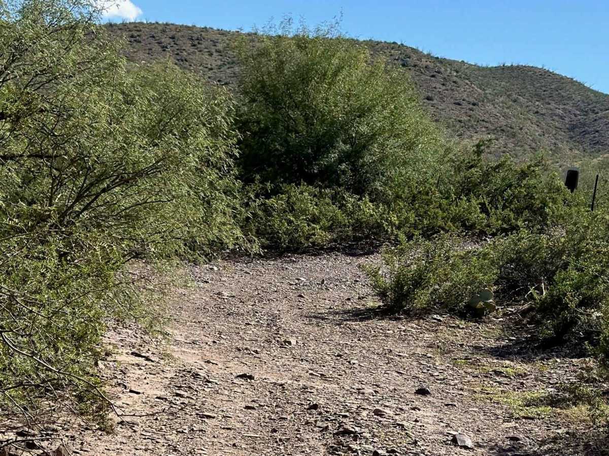
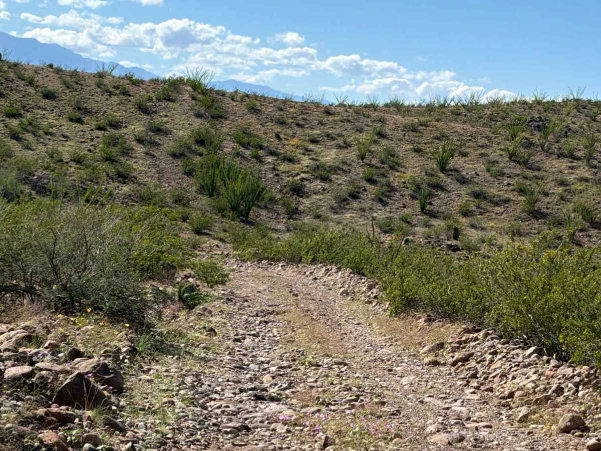
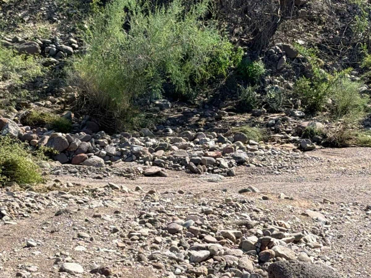
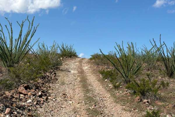
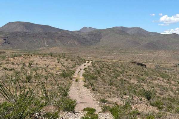
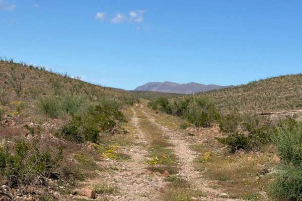
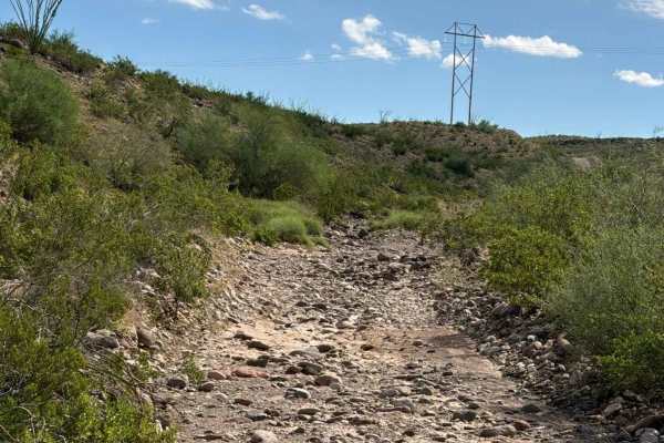
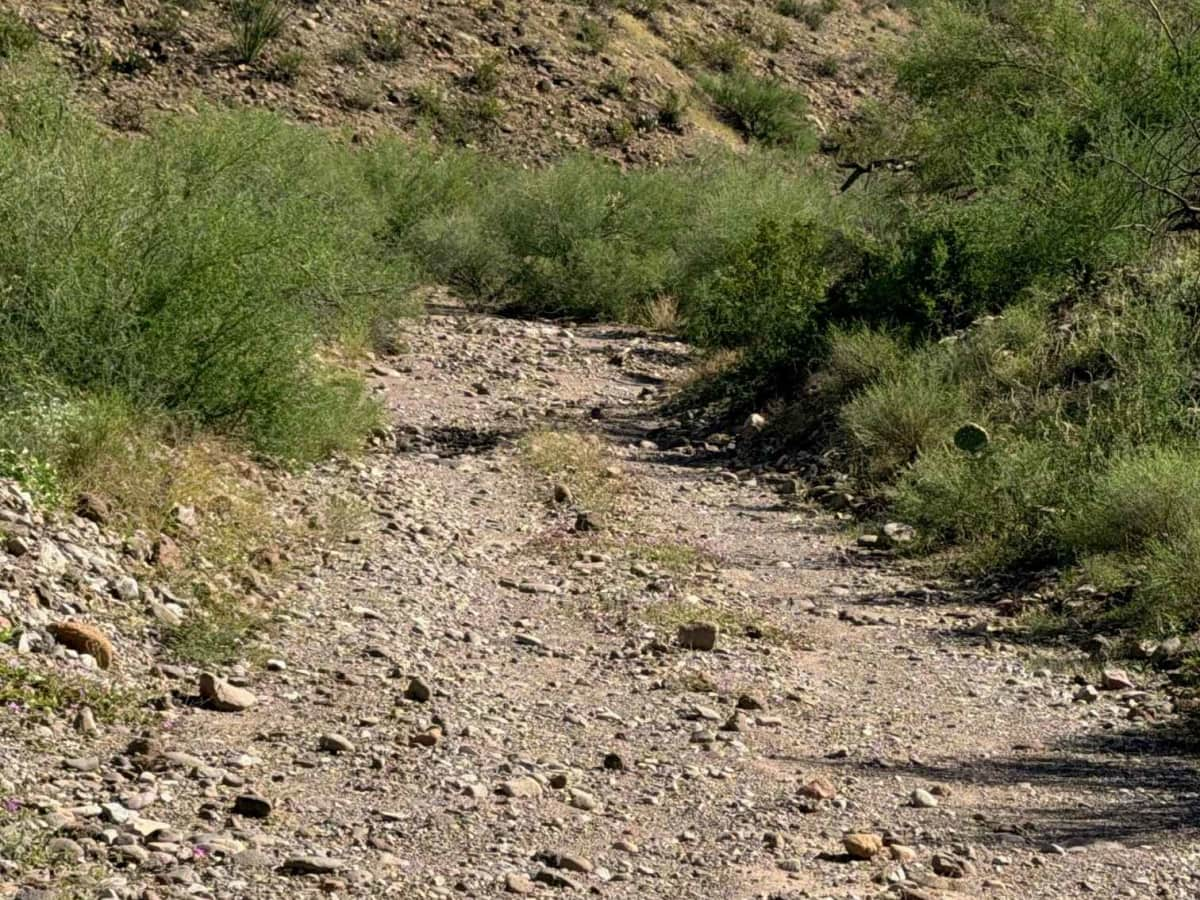
Starts at the end of the first section at the turnaround point and is an out-and-back. The trail heads downhill into the wash, gets tight, then makes a U-turn to climb up and out. This section of trail is rocky, with 6-12” loose rocks. Once you reach the top, it levels out, but the rocks are significantly bumpy, loose, and large (12”). 4wd and high clearance recommended. Trail surrounded by creosote and tall ocotillo. Not recommended in wet conditions when crossing the Creek washes. The trail ends at the Gila River overlook; a great spot to have lunch before you turn around and return the way you came. No exit at the river.

Photos of Aqueduct Road Section 2

Difficulty

washouts, ruts, wash crossings, large loose rocks up to 12”, rock garden section.

Technical Rating

3

Aqueduct Road Section 2 Trail can be accessed by the following ride types:

  • Single Track
  • 50 Inch
  • 60 Inch
  • High Clearance
  • Full Width

Aqueduct Road Section 2 Map

The onX Offroad Difference

onX Offroad combines trail photos, descriptions, difficulty ratings, width restrictions, seasonality, and more in a user-friendly interface. Available on all devices, with offline access and full compatibility with CarPlay and Android Auto. Discover what you're missing today!

Open Trail Map