Pe1056

Total Miles2.2
Technical Rating
3Easy
Best TimeSpring, Summer, Fall, Winter
Trail TypeFull-Width Road
Accessible By
Open Trail Map

Trail Overview

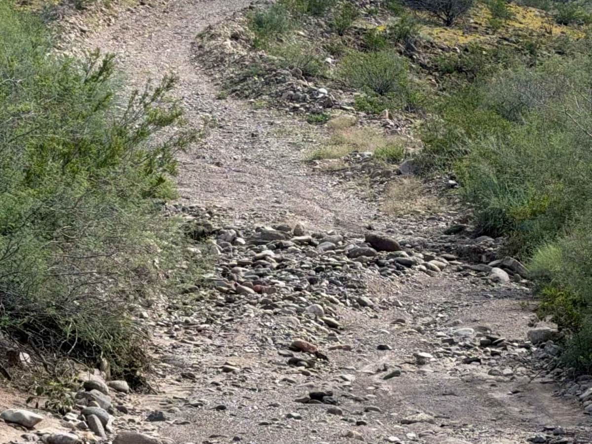
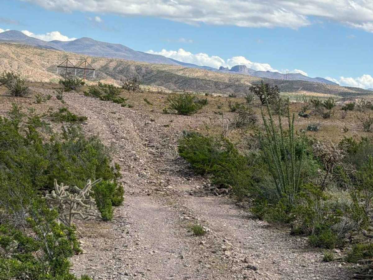
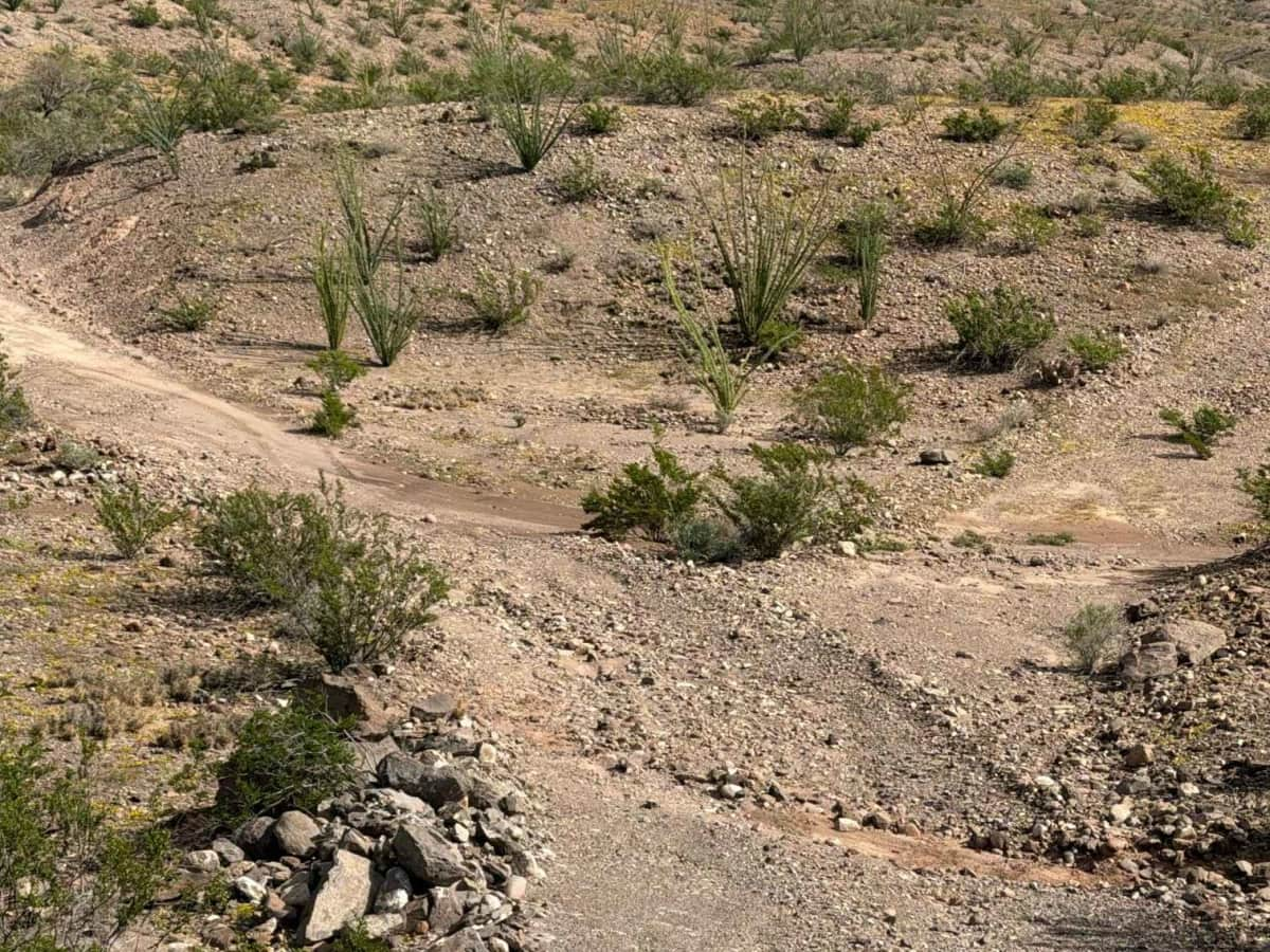
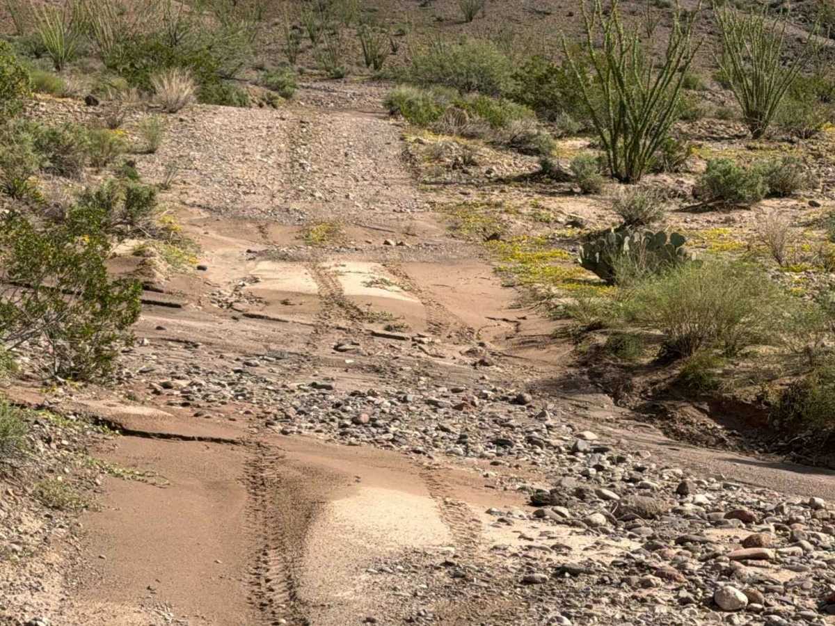
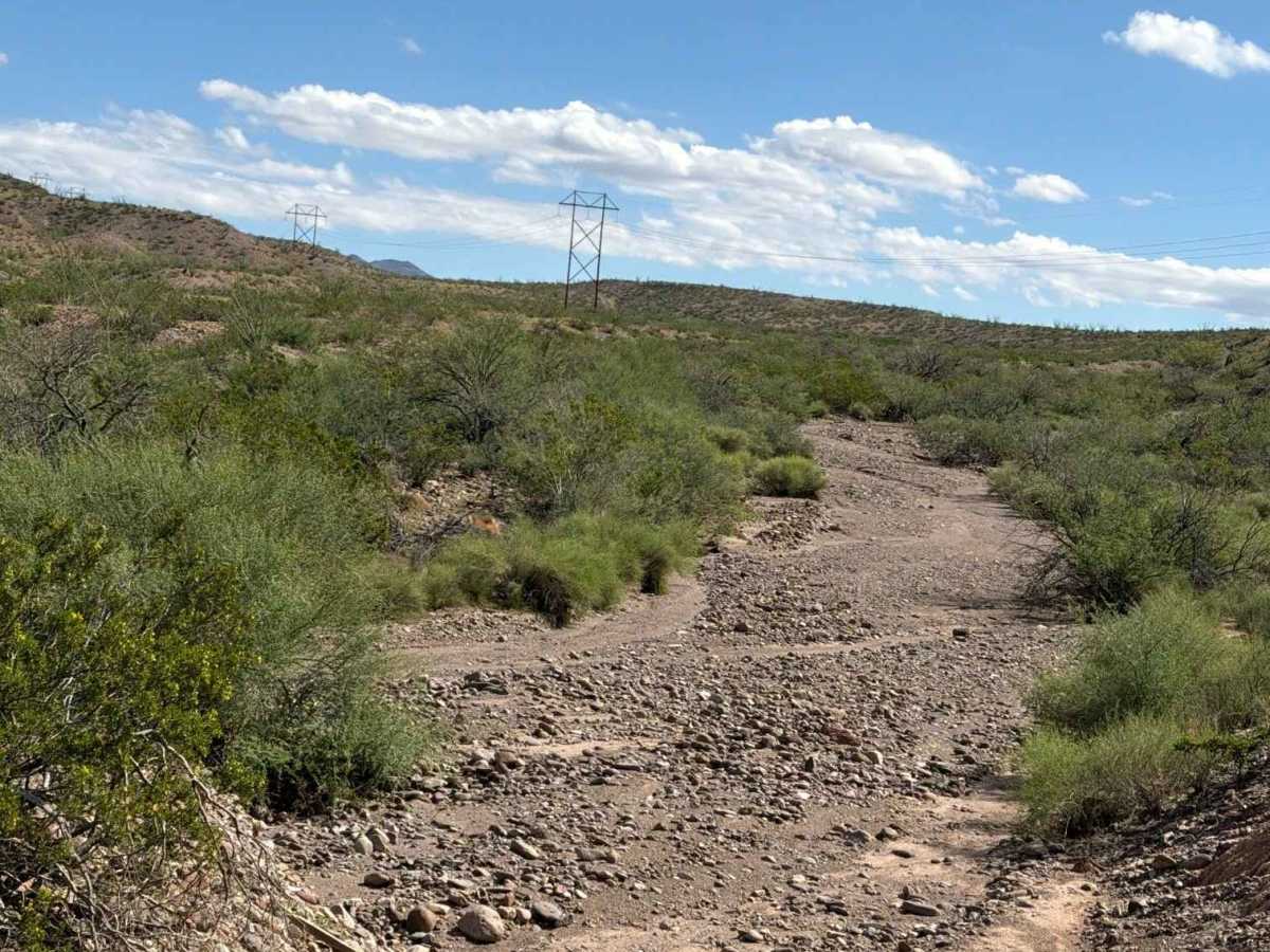
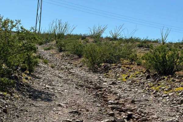
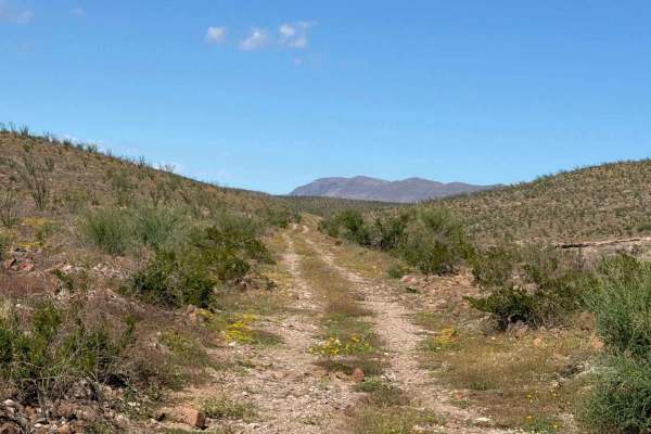
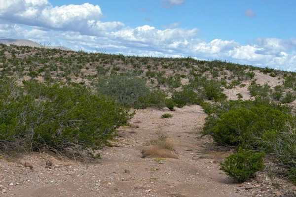
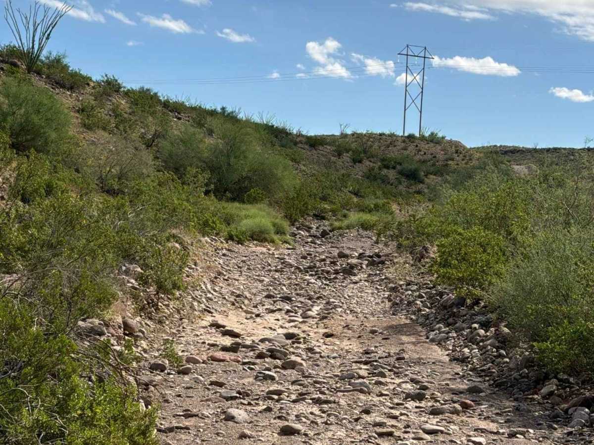
Pe1056 is a point-to-point trail that begins off Aqueduct Road and heads southeast along a gravel two-track between the hills. Rocks increase in size farther along the route, with several rock garden sections containing loose rocks up to 12 inches. The trail crosses a couple of creeks, then climbs a steep hill bordered by a rock berm and following the power lines. The route climbs back to the ridgeline, continues briefly, then descends to a section of road with a few whoops. The surrounding views are beautiful, and the route has no major obstacles or technical challenges. High-clearance 4WD is recommended, and travel in wet conditions is not advised due to creek crossings and loose terrain. The trail ends where it meets Powerline Road. This route is an excellent connector for creating a loop through the area without backtracking east or west.

Photos of Pe1056

Difficulty

Rock garden section with loose rocks up to 12”. Steep hill climb; a few washouts and water drainage ruts; watch speed.

Technical Rating

3

Pe1056 Trail can be accessed by the following ride types:

  • Single Track
  • 50 Inch
  • 60 Inch
  • High Clearance
  • Full Width

Pe1056 Map

The onX Offroad Difference

onX Offroad combines trail photos, descriptions, difficulty ratings, width restrictions, seasonality, and more in a user-friendly interface. Available on all devices, with offline access and full compatibility with CarPlay and Android Auto. Discover what you're missing today!

Open Trail Map