Trail Overview
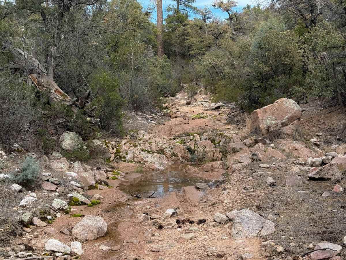
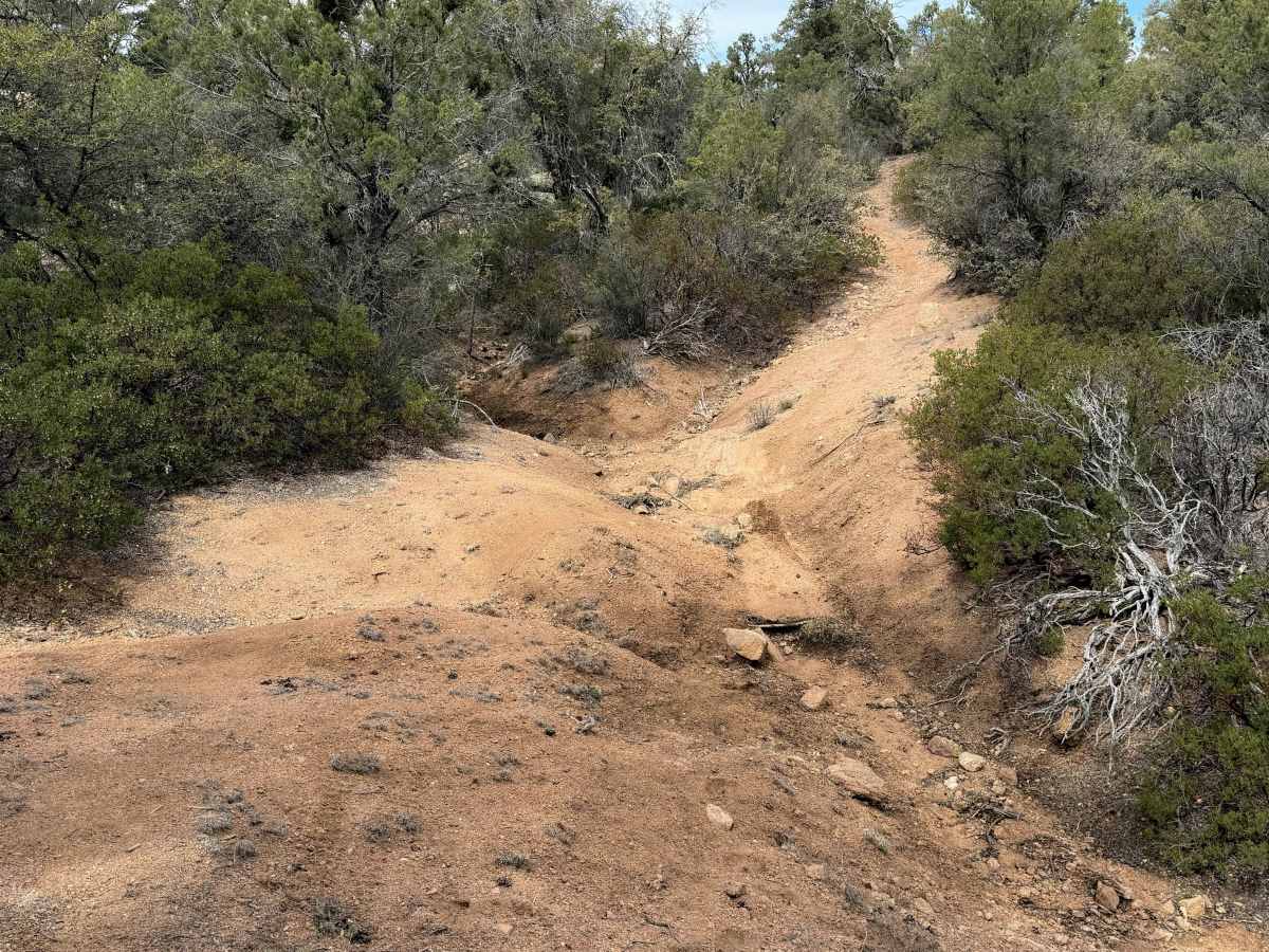
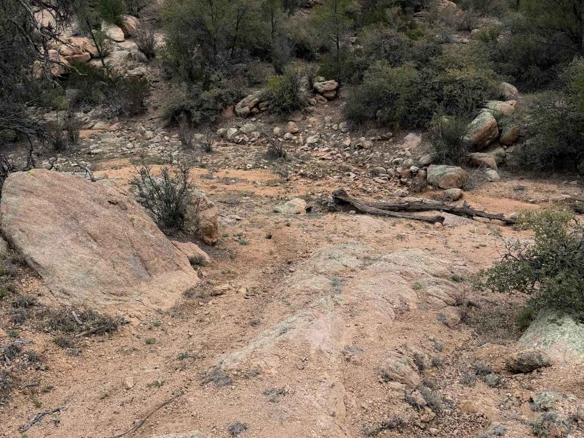
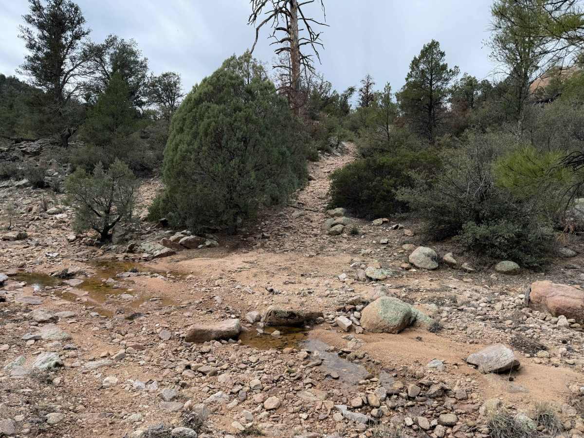
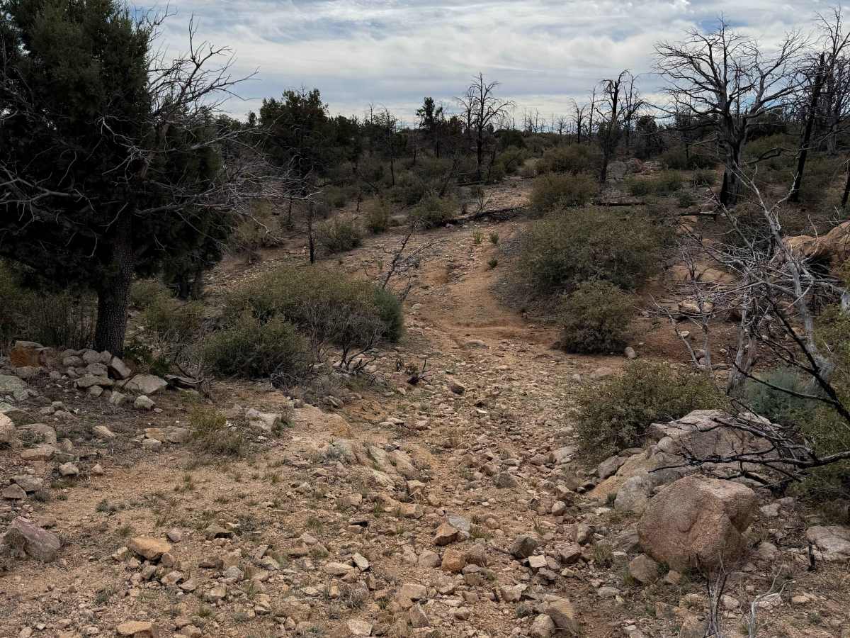
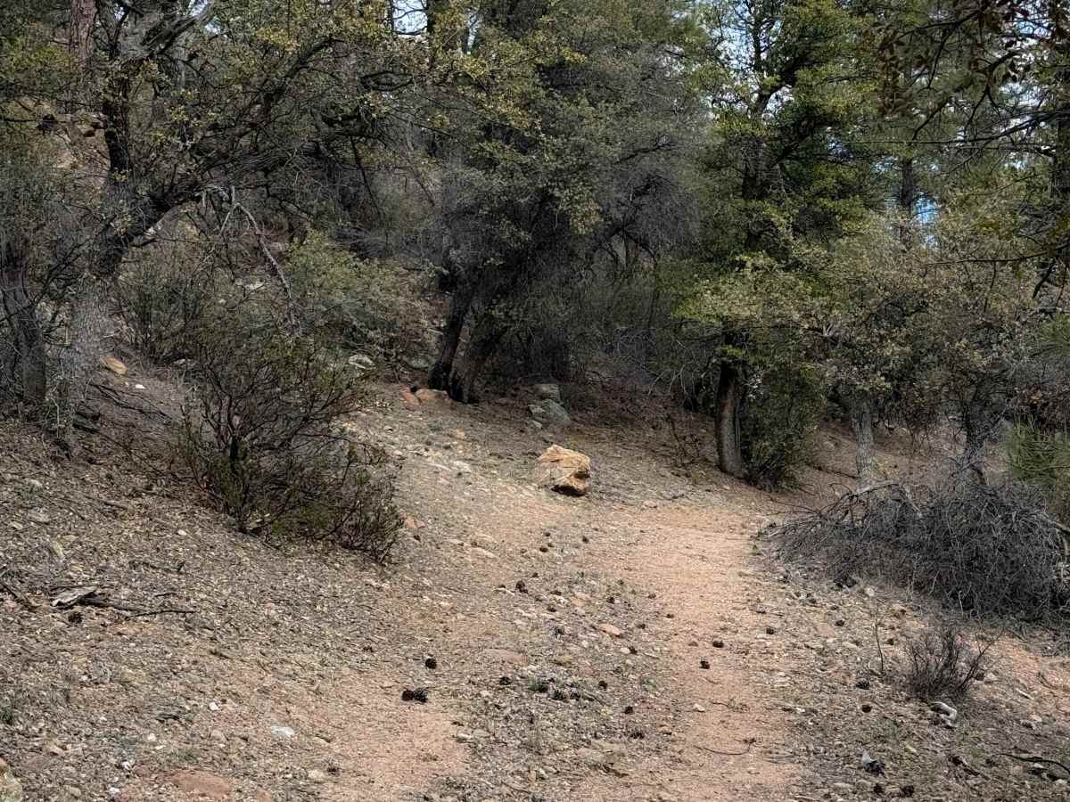
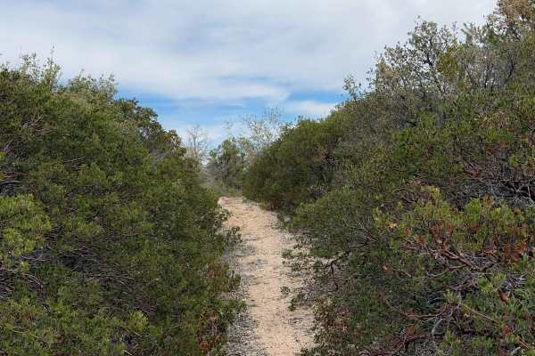
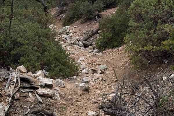
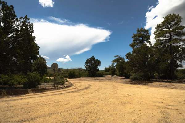
Dead Steer Basin is a fun out-and-back ATV route in the Prescott National Forest that starts at an unmarked entrance off of Walnut Creek Road. You immediately have to go through a cattle gate. The trail begins in a ponderosa pine forest, where the trail is wide, a mix of dirt and pea gravel. It climbs left up a hill when it reaches another fence, and becomes a bit rockier, with loose, round rocks in the trail, but it’s not too difficult. It continues to make short climbs and descents up and down over the rolling forested hills. There’s a bit of water running next to the trail, and there are a couple of rocky, shallow stream crossings throughout the route. One of them has a one-foot-tall rock ledge within the stream crossing. Much of the trail weaves between the scrub oak, and will feel a bit off camber for ATVs as one side is higher than the other, as it is sloped down the hillside. There are a few chunkier rock sections with bigger boulders in the trail, and it becomes really scenic with lots of lichen-covered boulders. There is one big rutted-out and eroded section that is off-camber with deep ruts that ATVs will have to navigate through. Near the north end, it starts to go through a burn area, with potential for small log hazards. It gets a bit rockier on the north end as well, with more packed-down small rocks in a couple of climbs. The trail peters out after about 2 miles. It dead ends in the forest, so it will have to be ridden as an out-and-back.
Difficulty
This is a moderate trail due to a couple small to medium rock ledges, some steep loose hills, and one highly eroded section with deep off-camber ruts. It’s ideal for more experienced ATV riders.