Trail Overview
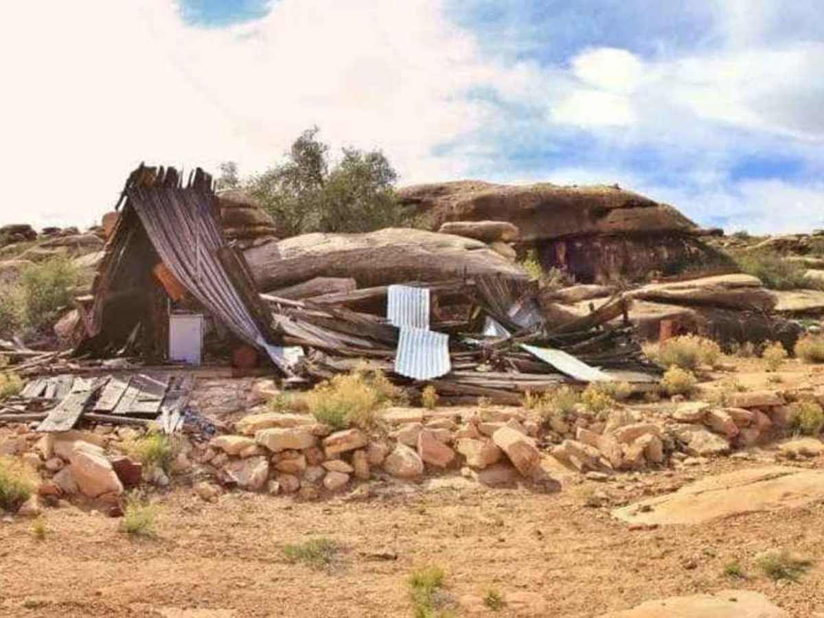
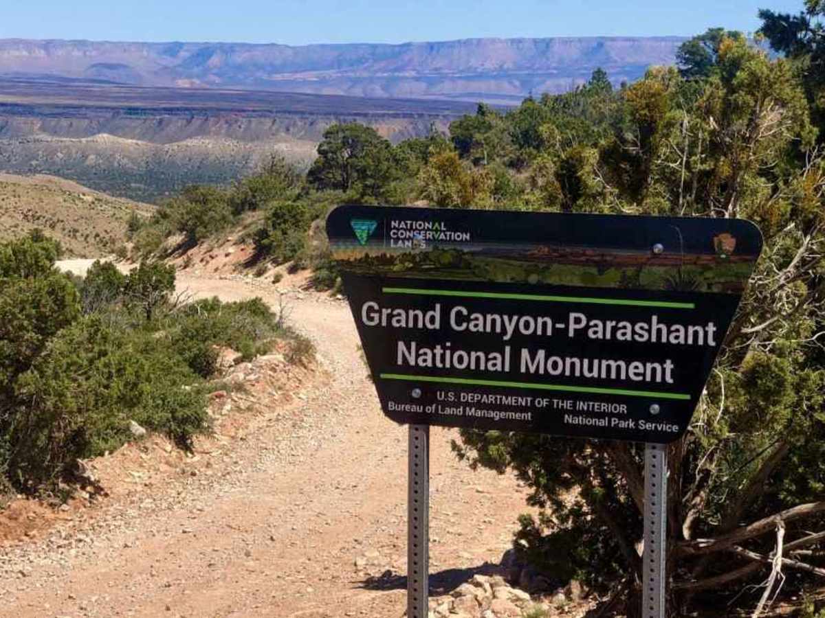
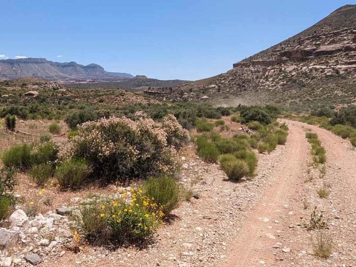
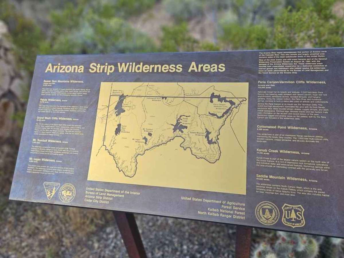
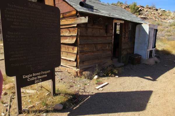
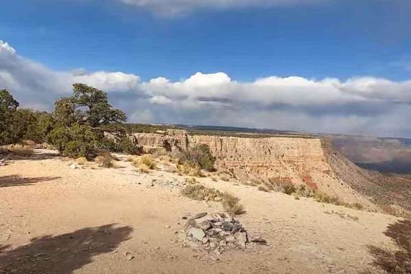
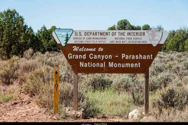
BLM 1232 is a 1.9-mile point-to-point trail rated 4 of 10 located within the Grand Canyon-Parashant National Monument. This trail is comprised mostly of hardpacked dirt with some embedded rock. BLM 1232 is a side adventure from the BLM 1230-Parachant Canyon-Mollies Nipple trail. Leading to one of the older copper mines located within the Arizona Strip, which operated between 1913 and 1974. BLM1232 to Copper Mountain Mine is only two miles long, but very rough. The trail includes several bedrock steps and is slow going. The mine is a fascinating historic site at the edge of a scenic canyon. At the abandoned mine site, you can catch a glimpse of some abandoned buildings that look like previous living quarters, the mine shafts, and some abandoned machinery. In its heyday, this mine produced copper as well as zinc, silver, gold, lead, and uranium. Halfway to the mine, there will be a trail leading south. This trail, which runs for about three-quarters of a mile, will lead to a little-known overlook of the Grand Canyon called George Springs Overlook. This is one of the most remote locations within the national monument. There is no cellular phone service in this area. The nearest fuel or other services are approximately 70 miles away in St. George, Utah or Mesquite, Nevada. Vehicle recovery service on the Arizona Strip can exceed $3000. Good planning and carrying adequate fuel, water, food, and survival gear is highly recommended. Although the trail itself is well below typical winter snow levels, trails leading to the sight may exceed 6000’ and be impassable in winter months or after severe inclement weather.
Difficulty
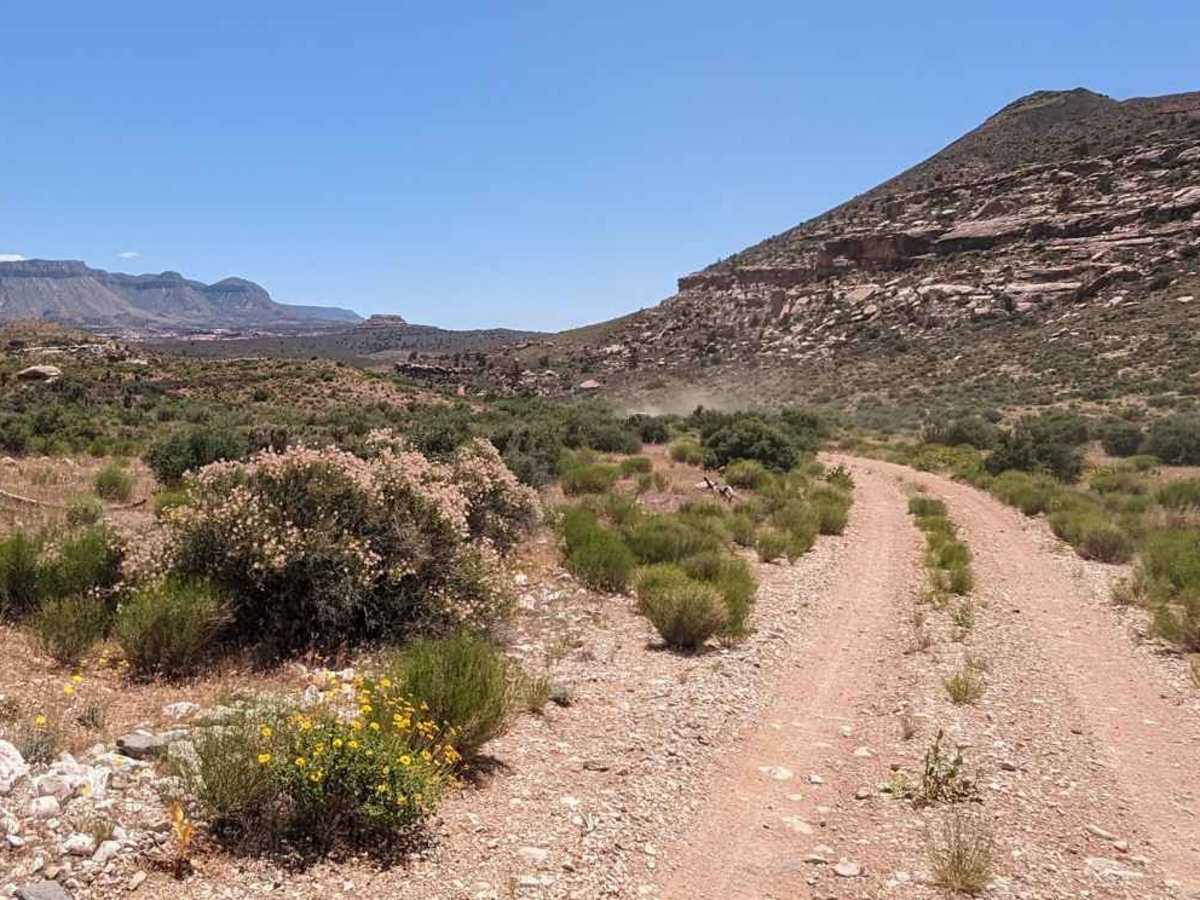
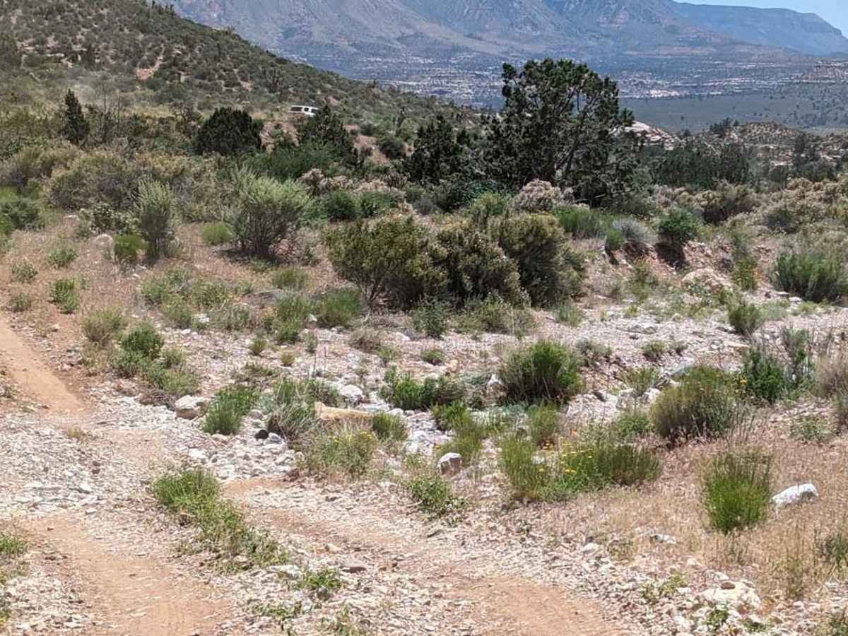
Trail consisting of loose rock, dirt, and sand with some slickrock surfaces. Some erosion; washes, gulches, and rock steps no higher than 18 inches. Tall tires (33 inches or more) and a limited-slip are a plus. 4WD is required. Enhanced suspension travel and good ground clearance are helpful. Good driving skills a plus.