Trail Overview
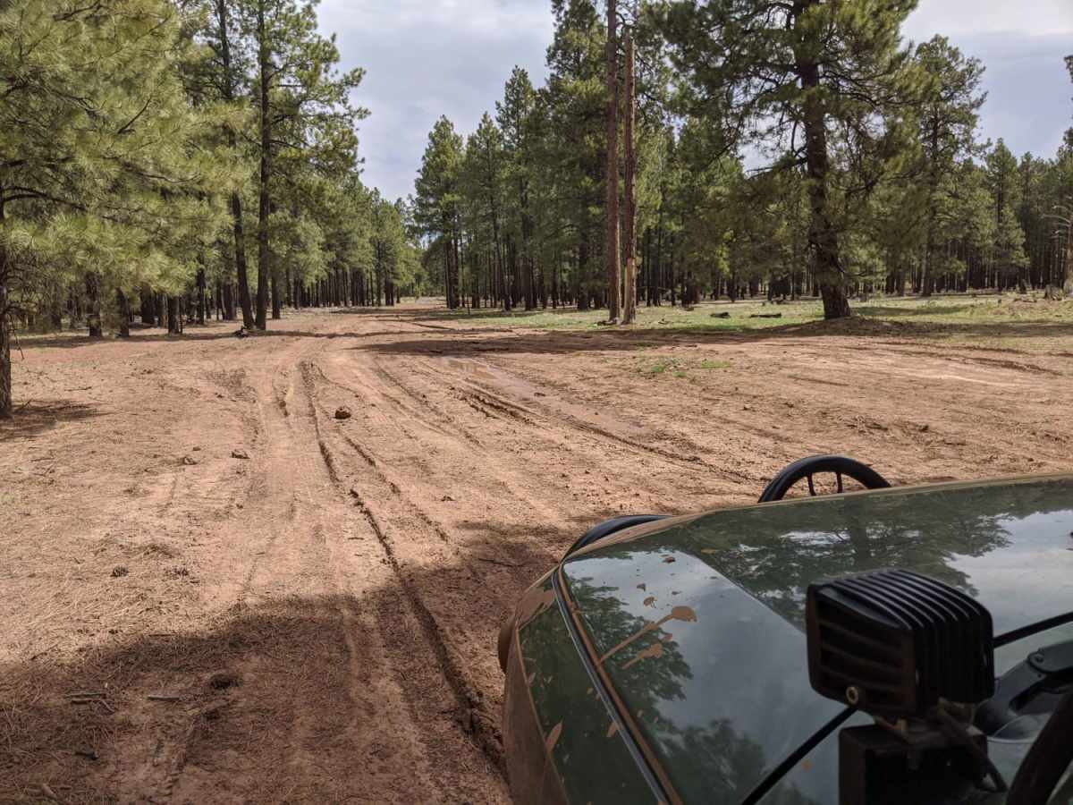
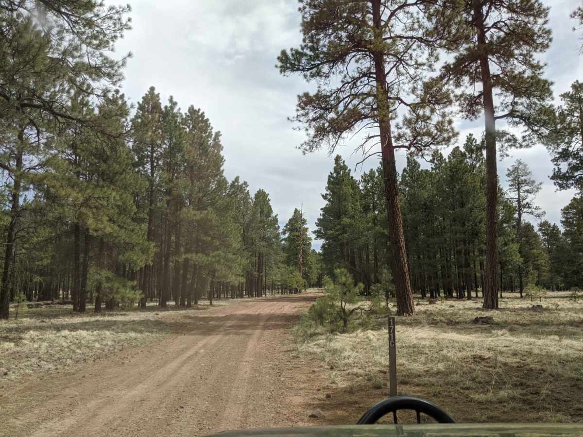
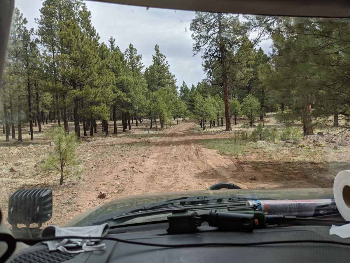
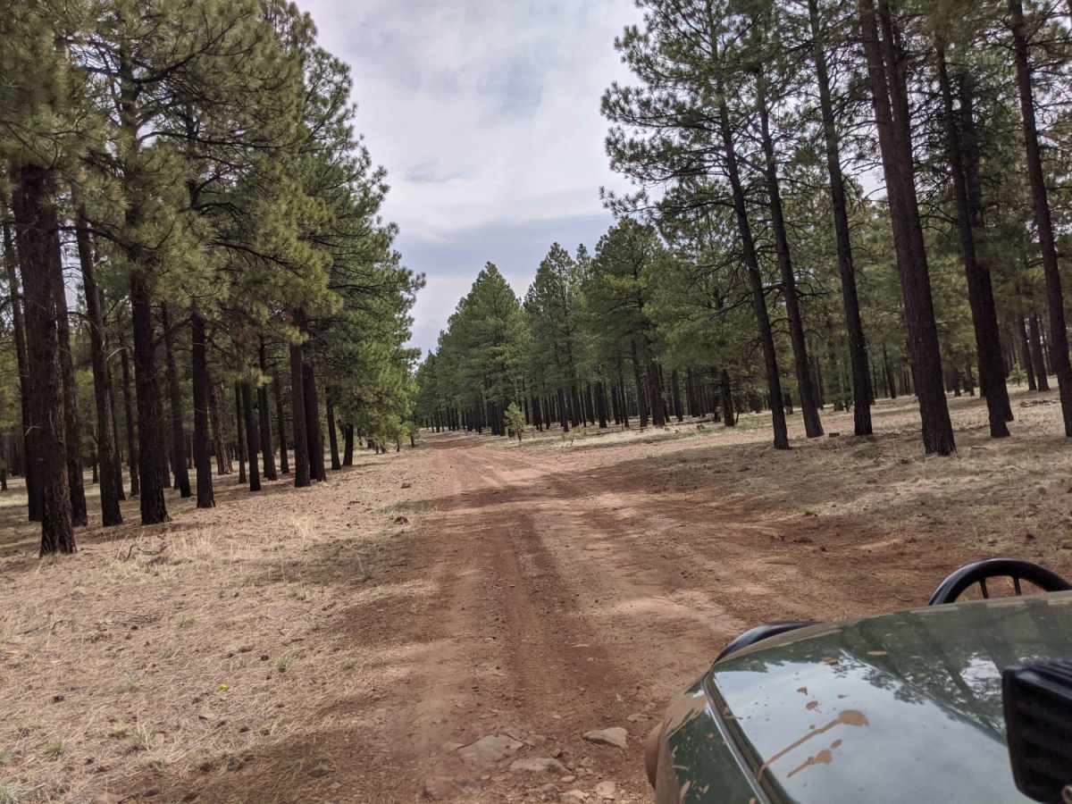
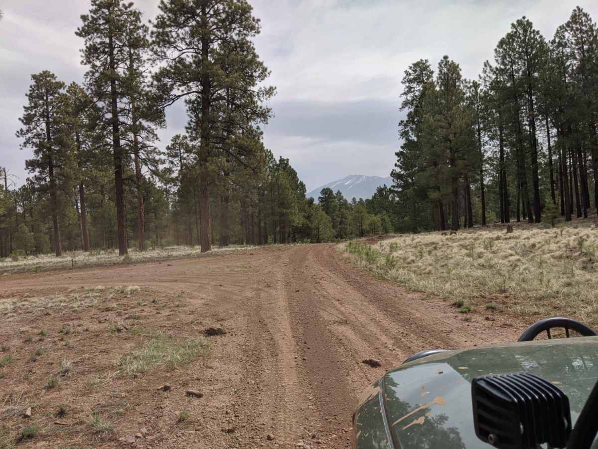
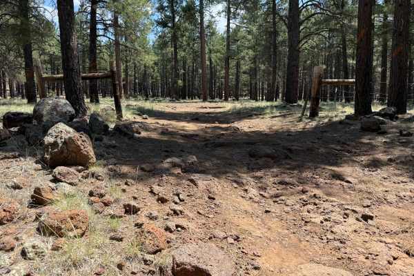
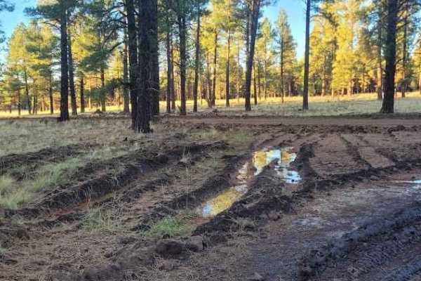
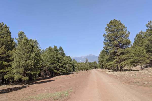
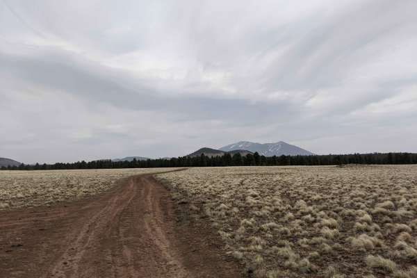
Compression Station Road is an ideal route for drivers seeking a scenic dirt track through the Coconino National Forest with plenty of opportunities for dispersed camping and side-trail exploration. Branching off Forest Road 160 near Walker Hill, this route features a primarily dirt and gravel surface mixed with bumpy, rocky sections that can challenge stock vehicles. While typically straightforward during dry conditions, the trail becomes extremely muddy and slick when wet, often requiring four-wheel drive and high clearance to avoid getting stuck in deep ruts. High-clearance vehicles, SxSs, and OHVs will find this route highly accessible during the warmer months, though dry-season travel is highly recommended to protect the trail and prevent recovery situations.
Cell service is spotty to nonexistent along the entire route, making offline maps essential for navigation and locating the various dispersed camping spots tucked into the ponderosa pines. Winters bring heavy snowfall to this high-altitude region, leaving the unmaintained forest road completely impassable for standard vehicles until late spring. Adventurous travelers can use this trail to connect to several intersecting forest service roads, allowing for a customizable day of exploring the scenic volcanic landscape northwest of Flagstaff. Due to the lack of active winter maintenance and the high potential for deep mud, visitors should check local Coconino National Forest seasonal road closures and weather conditions before heading out.

 Offroad